|
| *****SWAAG_ID***** | 849 |
| Date Entered | 10/02/2015 |
| Updated on | 10/02/2015 |
| Recorded by | Tim Laurie |
| Category | Mining Related |
| Record Type | Mining |
| SWAAG Site Name | |
| Site Type | |
| Site Name | |
| Site Description | |
| Site Access | Army Range |
| Record Date | 08/02/2015 |
| Location | Stainton Moor Beck. North Bank. |
| Civil Parish | Stainton |
| Brit. National Grid | SE 0971 9585 |
| Altitude | 250m |
| Geology | Glacial drift on rising ground at edge of floodplain cut by the small stream nown as Stainton Moor Beck. |
| Record Name | Large lead bale site on north side of Stainton Moor Beck. |
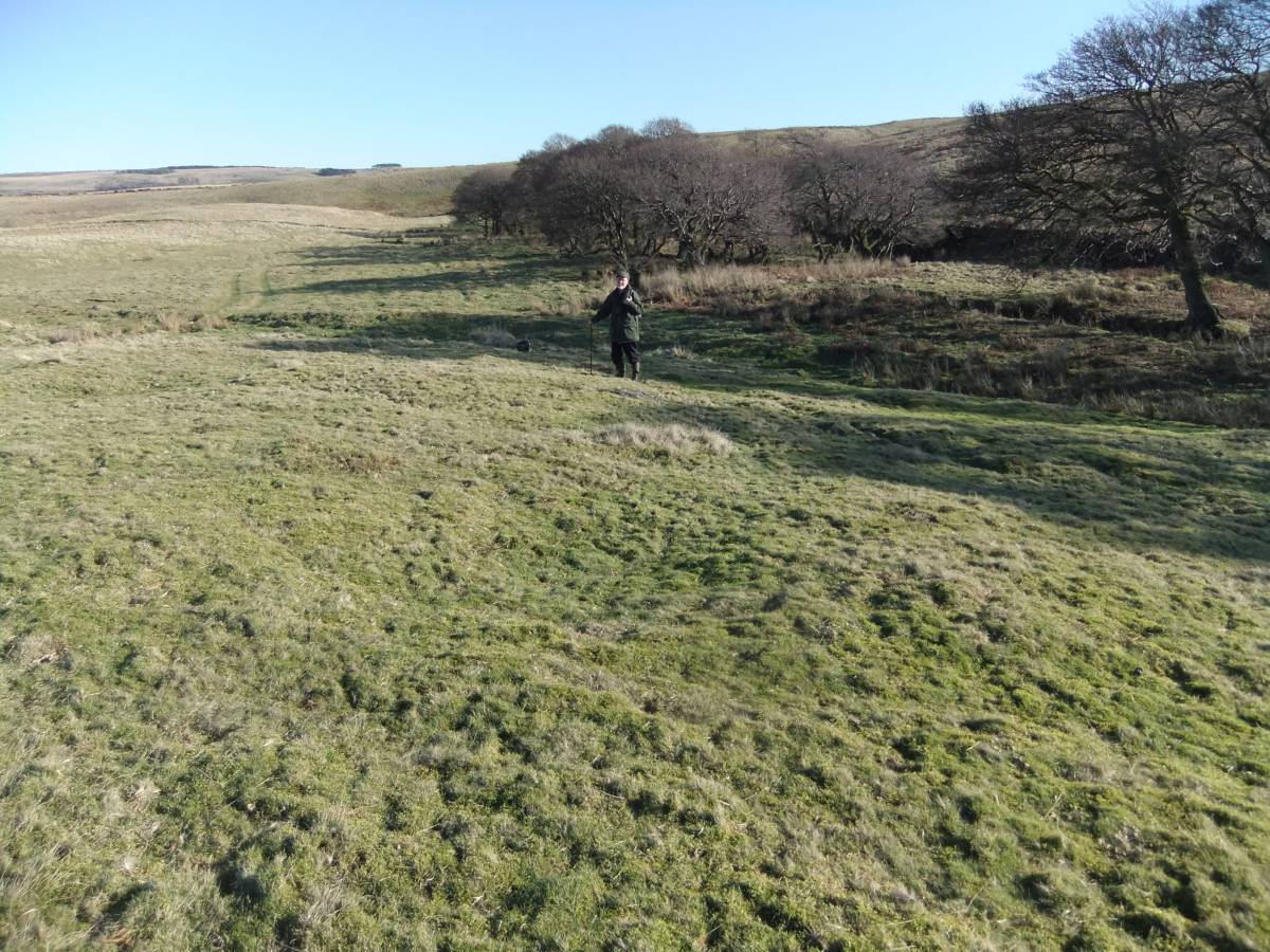
| Record Description | This large bale site was revealed by surface deposit of lead slag at a single rabbit scrape. The existence of this entirely turf covered early lead smelting site was first noticed by Tony Burgoyne, Regional Verifier to the Woodland Trust, during a survey of the ancient managed alders which line both banks of Stainton Beck. The alders here have been managed by coppicing,possibly to make charcoal to manufacture the gunpowder used at the local lead mines.
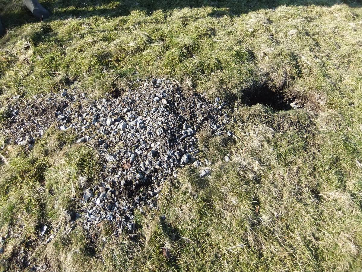
The presence of a dense layer of lead slag is revealed at the rabbit scrape, see image below.The probable extent of the lead bale is marked by a green, dense mossy turf carpeting the lead slag deposit. This light green mossy turf vegetation differs markedly from the general dun coloured vegetation of acidic grassland.
If this interpretation is correct, the bale site is roughly 25m diameter and the area includes several distinct circular depressions which are a common feature at bale sites.
Both lead and iron smelting sites have been located in close proximity to managed alder woodland. |
| Dimensions | 25m Diameter approximately. |
| Geographical area | |
| Species | |
| Scientific Name | |
| Common / Notable Species | |
| Tree and / or Stem Girth | |
| Tree: Position / Form / Status | |
| Tree Site ID | 0 |
| Associated Site SWAAG ID | 0 |
| Additional Notes | This largely invisible and presumably hitherto unrecorded Bale Site is located some 500m downstream of the Wyvills Lead Mine Level and within easy reach of the rich surface deposits of lead ore which have been worked extensively at higher elevation on both Ellerton and on Stainton Moor at the eastern end of the Great Stork Vein.
Reference: K.C. Dunham and A.A. Wilson: Geology of the North Pennine Orefield, Volume 2: Stainmore to Craven. Chapter 11 and Figure 30, Locations 23 to 24. |
| Image 1 ID | 6063 Click image to enlarge |
| Image 1 Description | Stainton Beck marked by ancient alders seen from the spoil tips at Wyvills Level (SE09489581) | 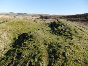 |
| Image 2 ID | 6065 Click image to enlarge |
| Image 2 Description | The Stainton Beck bale site was first recognised by Tony Burgoyne during a survey of the ancient alders. | 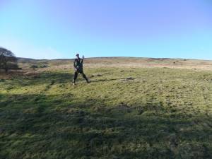 |
| Image 3 ID | 6070 Click image to enlarge |
| Image 3 Description | The lead bale revealed by a single rabbit scrape. | 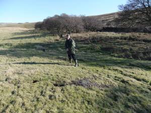 |
| Image 4 ID | 6071 Click image to enlarge |
| Image 4 Description | Shallow circular depressions are characteristic of many large lead bales. | 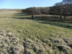 |
| Image 5 ID | 6072 Click image to enlarge |
| Image 5 Description | The lead bale is vegetated below dense mossy turf. |  |
| Image 6 ID | 6067 Click image to enlarge |
| Image 6 Description | Rabbit scrape with lead slag |  |
| Image 7 ID | 6068 Click image to enlarge |
| Image 7 Description | Dense layer of slag below turf in rabbit scrape. | 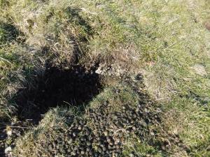 |
| Image 8 ID | 6073 Click image to enlarge |
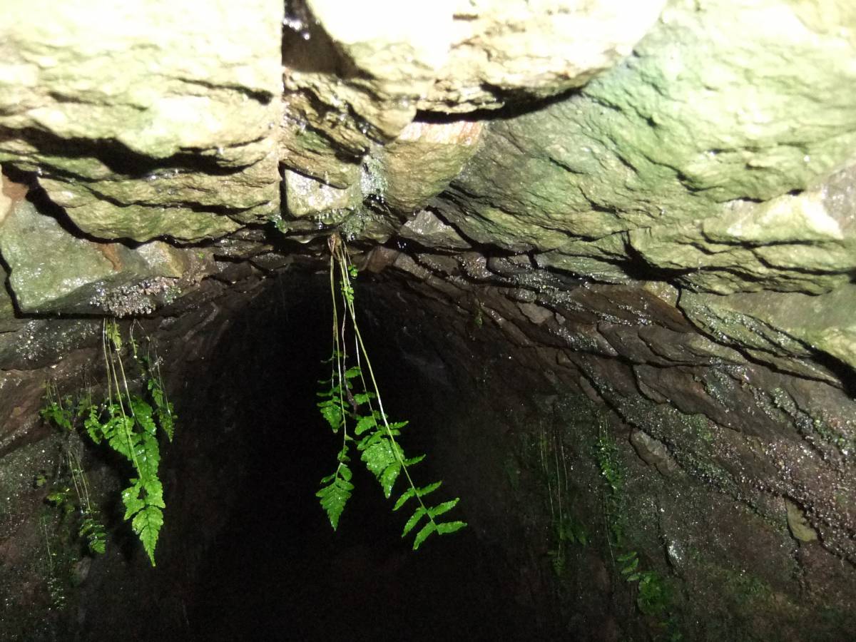
| Image 8 Description | Wyvills Level. The level has collapsed a few metres from the entrance. |  |