|
| *****SWAAG_ID***** | 852 |
| Date Entered | 11/03/2015 |
| Updated on | 14/03/2015 |
| Recorded by | Tim Laurie |
| Category | Standing Stones / Circles |
| Record Type | Archaeology |
| SWAAG Site Name | |
| Site Type | |
| Site Name | |
| Site Description | |
| Site Access | Public Access Land |
| Record Date | 05/03/2015 |
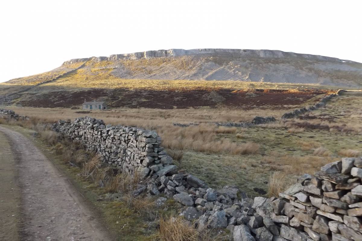
| Location | Circular SWAAG walk to Oxclose below Ivy Scar and across moorland aboveThackthaite Beck Springs and collapsed Cave |
| Civil Parish | Carperby Cum Thoresby |
| Brit. National Grid | |
| Altitude | 395m |
| Geology | Glacial drift over The Main Limestone. |
| Record Name | Carperby Moor. A SWAAG walk to visit Prehistoric and Mining Landscapes on Oxclose and on moorland centred at Thackthwaite Beck Springs and cave |
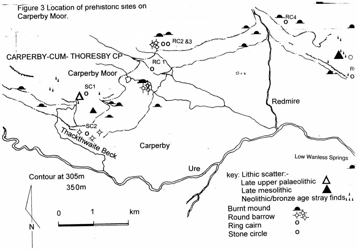
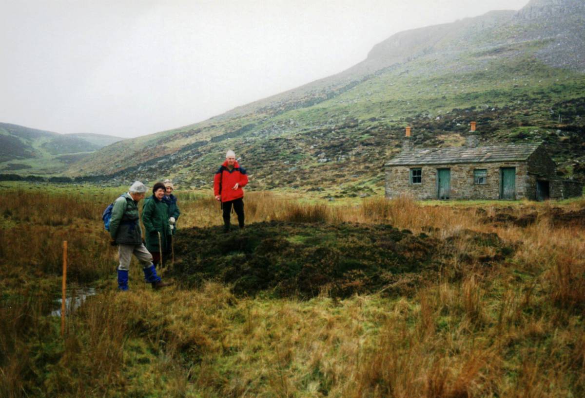
| Record Description | This is a short photographic record of a walk undertaken by a small group of weather hardened SWAAG Members on a fine but very windy day in early March to visit rich archaeological and mining landscapes on Oxclose and on Carperby Moor. The walk was reduced to take account of the gusting to gale force north-west wind but we managed, as planned to reach and lunch in the limited shelter of a ruined wall close above Thackthwaite Beck Spring and collapsed Cave, then to visit the standing stone circle on moorland above the cave. The walk included visits to the Carperby Stone Quarry, to the early field system and embanked stone rings on Oxclose, the extensive and complex mining landscape of the Ivy Scar Mine and the Carperby Basin, early prehistoric occupation sites, the stone circle above Thackthwaite Beck and several stone built settlements of different periods. For details of the geology and mining remains of the Carperby Basin, see: K.C.Dunham and A.A. Wilson, 1985. B.G.S. 'Geology of the North Pennine Orefield' Vol. 2 Stainmore to Craven. For details of archaeological landscape features visited, see the account and map of the survey of prehistoric landscape of Carperby Moor in the Publications Section of this website (Laurie,T.C.2003). For the distribution of prehistoric sites on Carperby Moor and eastward across West and East Bolton Parks, see the attached map, Image No below. Details of many of the archaeological sites on Carperby Moor and of the lithic finds that were made during this walk will be the subject offurther separate detailed SWAAG Records. |
| Dimensions | |
| Geographical area | |
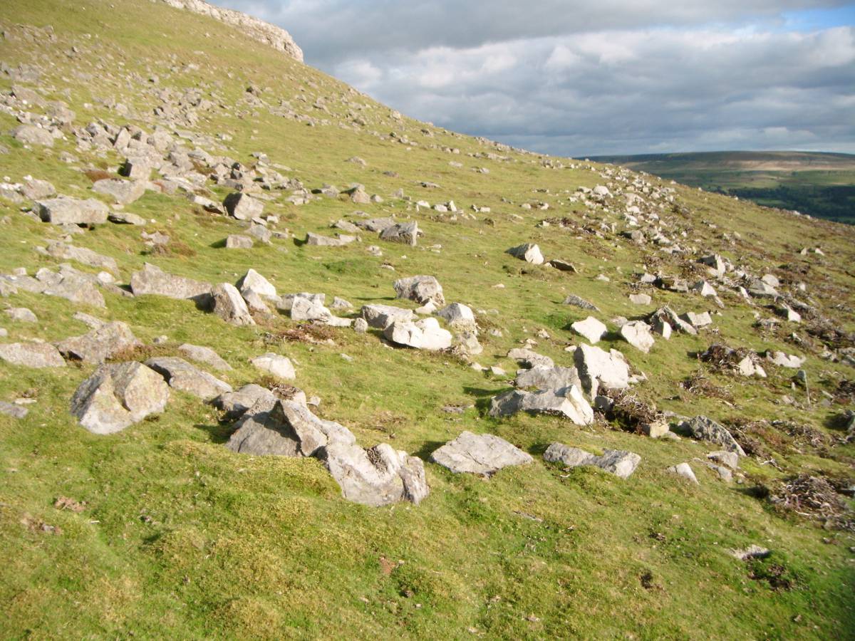
| Species | |
| Scientific Name | |
| Common / Notable Species | |
| Tree and / or Stem Girth | |
| Tree: Position / Form / Status | |
| Tree Site ID | 0 |
| Associated Site SWAAG ID | 0 |
| Additional Notes | The circular heather covered cairn located at the head of the defile below Wegber Scar and some 400m east of the stone circle. This location at a pass through the hills and close to a stone ring is characteristic of similar burial mounds, eg the cup marked cairn and stone ring above Osmond's Gill on Barningham Moor. |
| Image 1 ID | 6098 Click image to enlarge |
| Image 1 Description | The road to the Moor with a fine ash tree. | 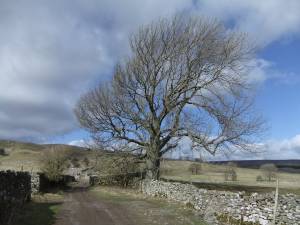 |
| Image 2 ID | 6099 Click image to enlarge |
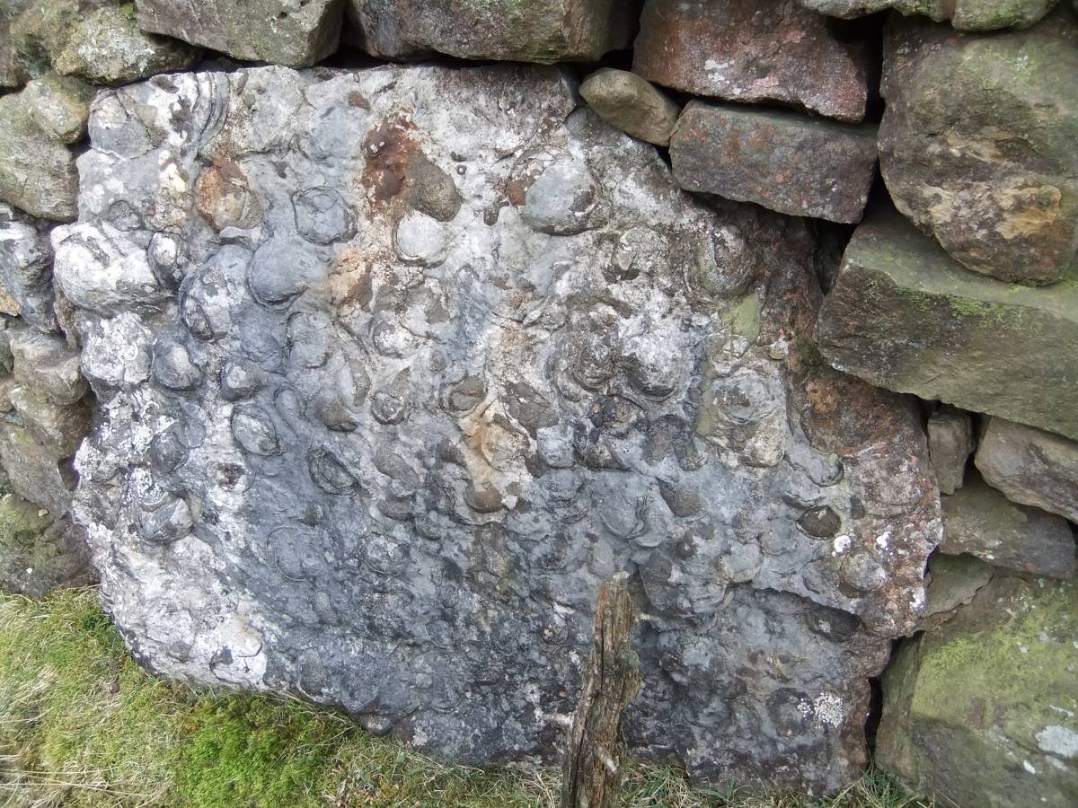
| Image 2 Description | Limestone slab at base of field wall showing surface with Late Carboniferous bivalve fossils (Gigantoproductus giganteus) |  |
| Image 3 ID | 6100 Click image to enlarge |
| Image 3 Description | The Carperby Stone Mine, one section of the interior cavern where the great stone slabs which were the product of this mine had been removed showing self supporting overhead strata with minimal supporting pillars. A tribute to hard work and the days long gone when men were real men. | 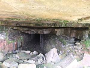 |
| Image 4 ID | 6101 Click image to enlarge |
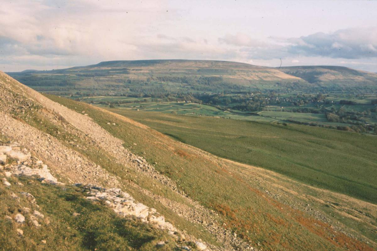
| Image 4 Description | Oxclose Pasture from Ivy Scar with Penhill in the distance. Early undated field boundary and tangential circular embanked just visible. | 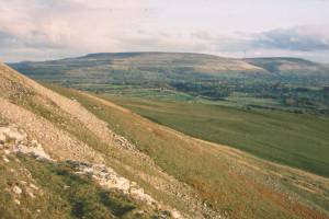 |
| Image 5 ID | 6102 Click image to enlarge |
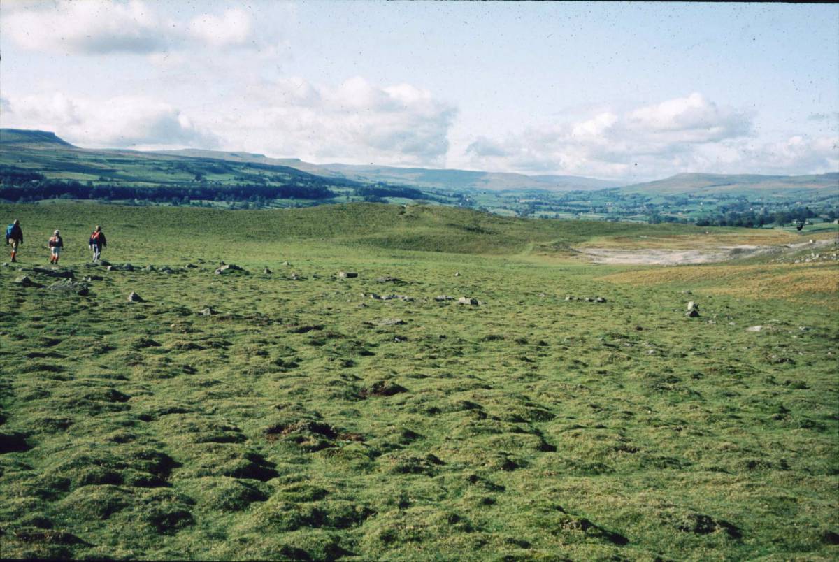
| Image 5 Description | 6102 Swaag define the smaller and eastern of two stone embanked rings. This ringwork is attached to a tangential field bank may have enclosed a timber round house. | 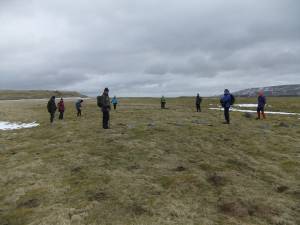 |
| Image 6 ID | 6103 Click image to enlarge |
| Image 6 Description | The Oxclose embanked stone circle and central cairn. |  |
| Image 7 ID | 6104 Click image to enlarge |
| Image 7 Description | Large burnt mound. Oxclose Pastures. Photo: previous SWAAG Visit. | 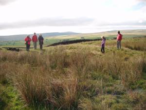 |
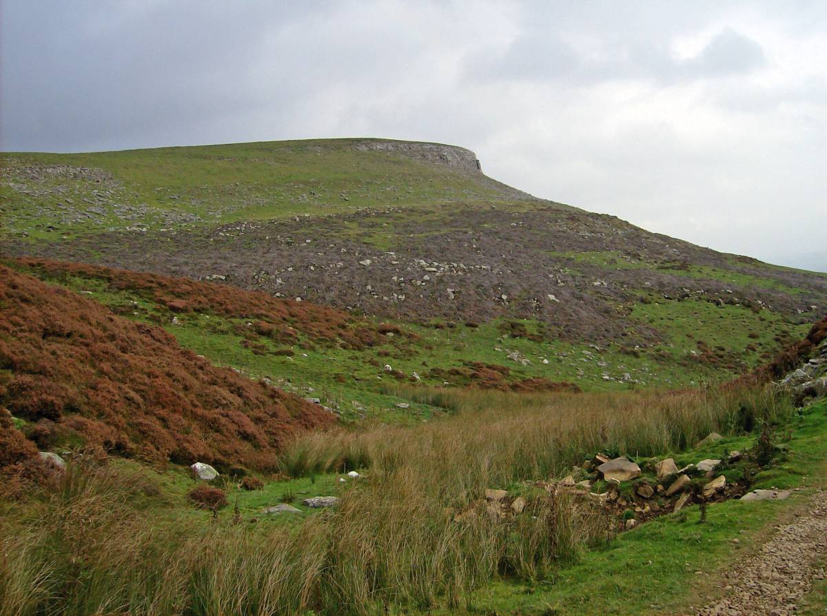
| Image 8 ID | 6105 Click image to enlarge |
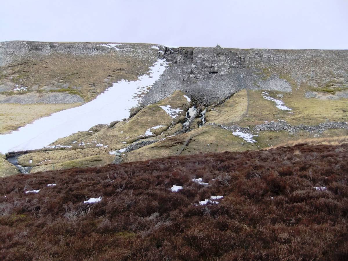
| Image 8 Description | The Ivy Scar lead mine. Note the strata in the Scar dips toward the Carperby depression. | 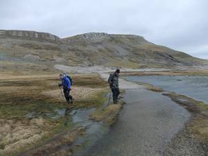 |
| Image 9 ID | 6106 Click image to enlarge |
| Image 9 Description | The Ivy Scar lead mine waste reworked for fluorite and baryte. |  |
| Image 10 ID | 6107 Click image to enlarge |
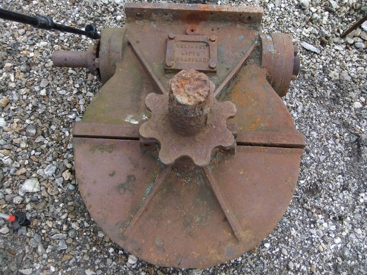
| Image 10 Description | Industrial remnant from the Baryte extraction operation. Hoist drive case. | 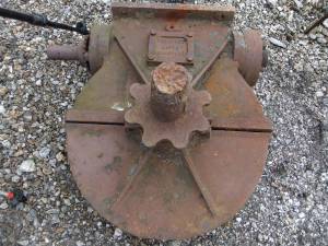 |
| Image 11 ID | 6108 |
| Image 11 Description | Prehistoric sites on Carperby Moor. Location of sites recorded previously. T.C. Laurie, 2003. In: The Archaeology of Yorkshire. An assessment at the beginning of the 21st century. Yorkshire Arch. Soc. Occasional Paper No 3 pp223-253 and Figure 61. |  |
| Image 12 ID | 6110 |
| Image 12 Description | Lead mine spoil heap in the Carperby Basin. | 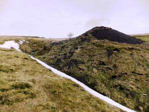 |
| Image 13 ID | 6111 |
| Image 13 Description | Water leat leading to the Oxclose Mine from Thackthwaite beck. | 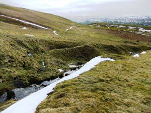 |
| Image 14 ID | 6112 |
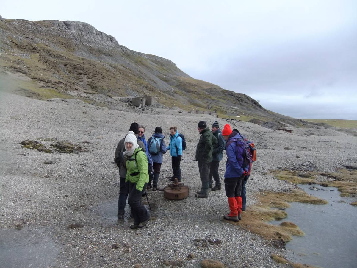
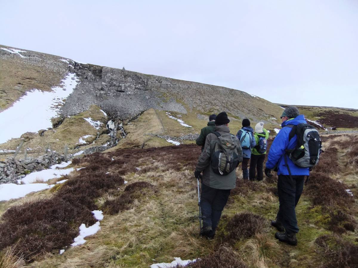
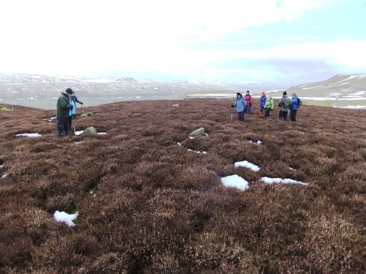
| Image 14 Description | SWAAG on the march with a tail wind. |  |
| Image 15 ID | 6113 |
| Image 15 Description | Thackthwaite Beck Spring and collapsed cave. | 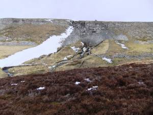 |
| Image 16 ID | 6122 |
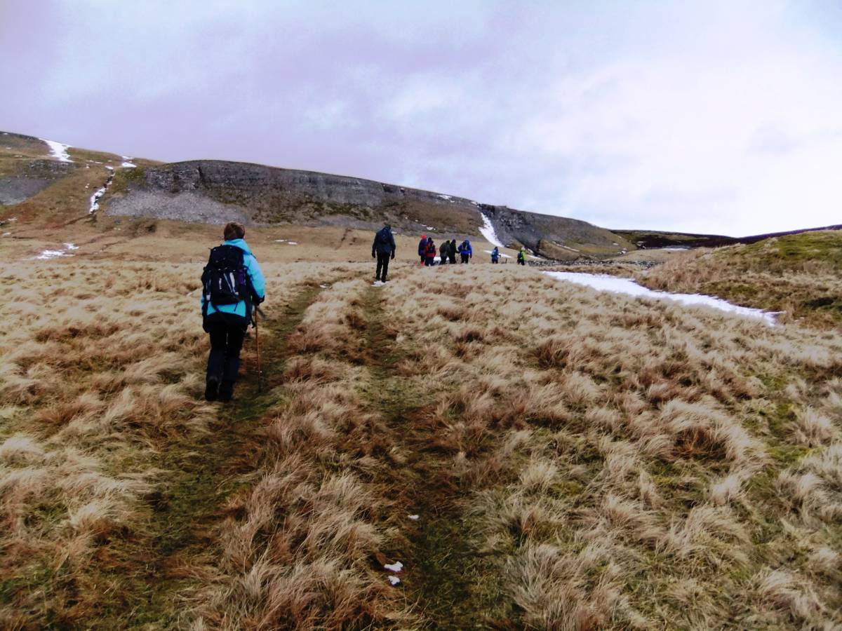
| Image 16 Description | SWAAG pause, but lunch awaits at the Blue Scar Café (No blue bells here today, come back and look for them in May.) | 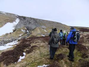 |
| Image 17 ID | 6114 |
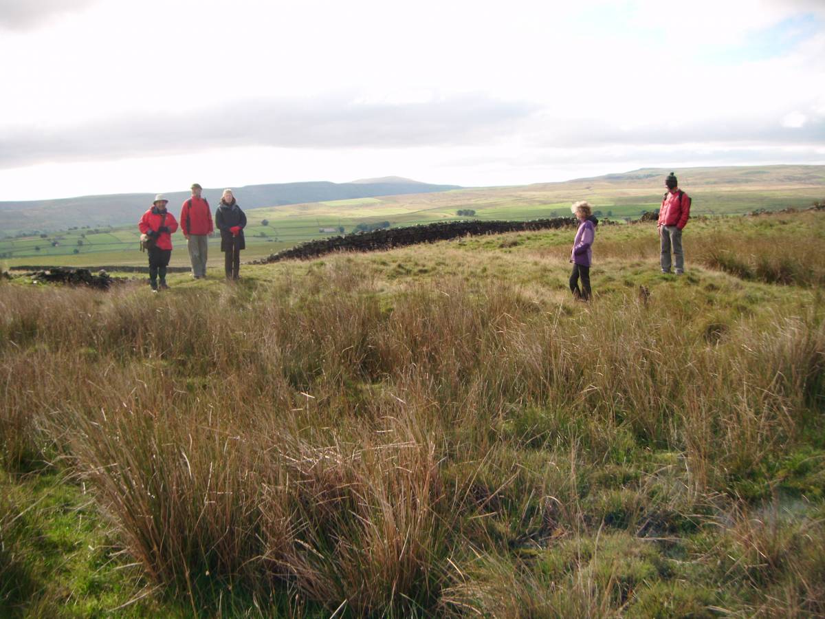
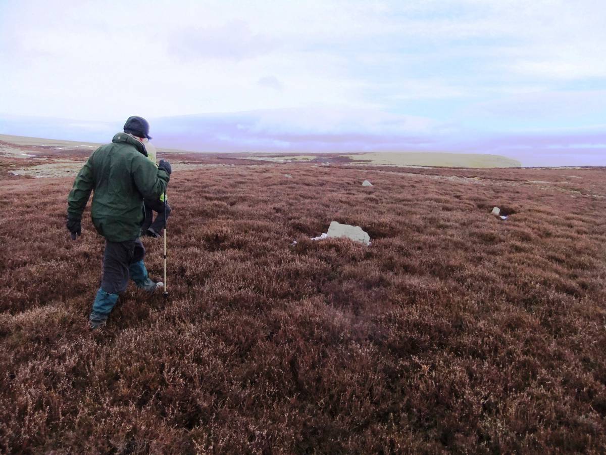
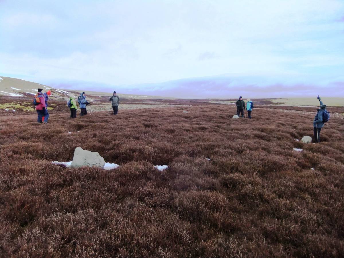
| Image 17 Description | SWAAG arrive at the Stone Circle. Five standing stones just visible above the heather. | 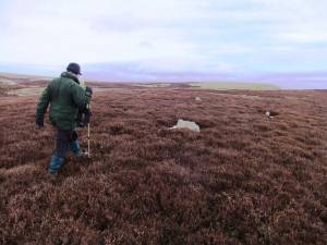 |
| Image 18 ID | 6115 |
| Image 18 Description | Hugh has seen a peregrine, very high above the Stone Ring. The archaeology is forgotten. |  |
| Image 19 ID | 6116 |
| Image 19 Description | View westward to upper Wensleydale from the stone ring | 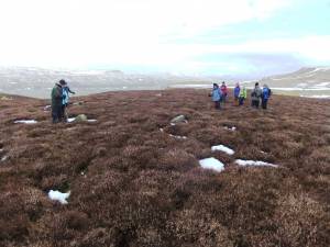 |
| Image 20 ID | 6117 |
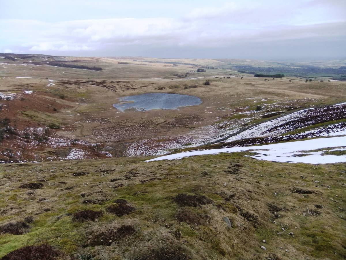
| Image 20 Description | Locker Tarn in winter | 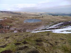 |
| Image 21 ID | 6118 |
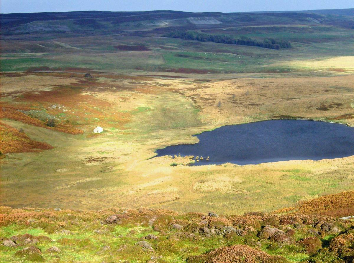
| Image 21 Description | Locker Tarn in sunshine |  |
| Image 22 ID | 6119 |
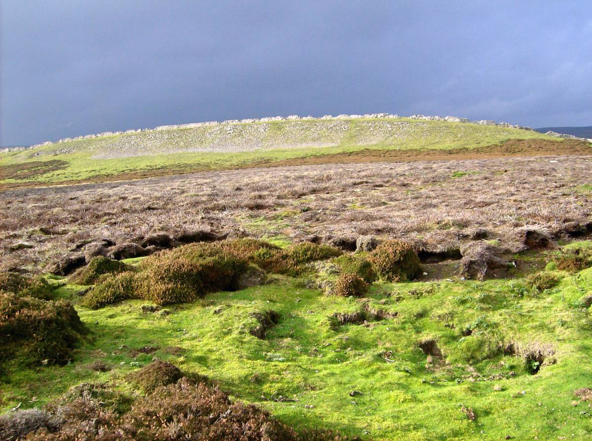
| Image 22 Description | Limestone scar, Carperby Moor | 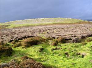 |
| Image 23 ID | 6120 |
| Image 23 Description | Enclosures and hut circles below Ivy Scar | 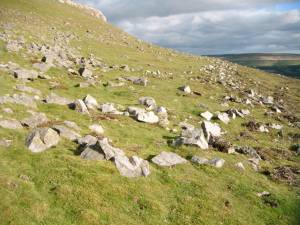 |
| Image 24 ID | 6121 |
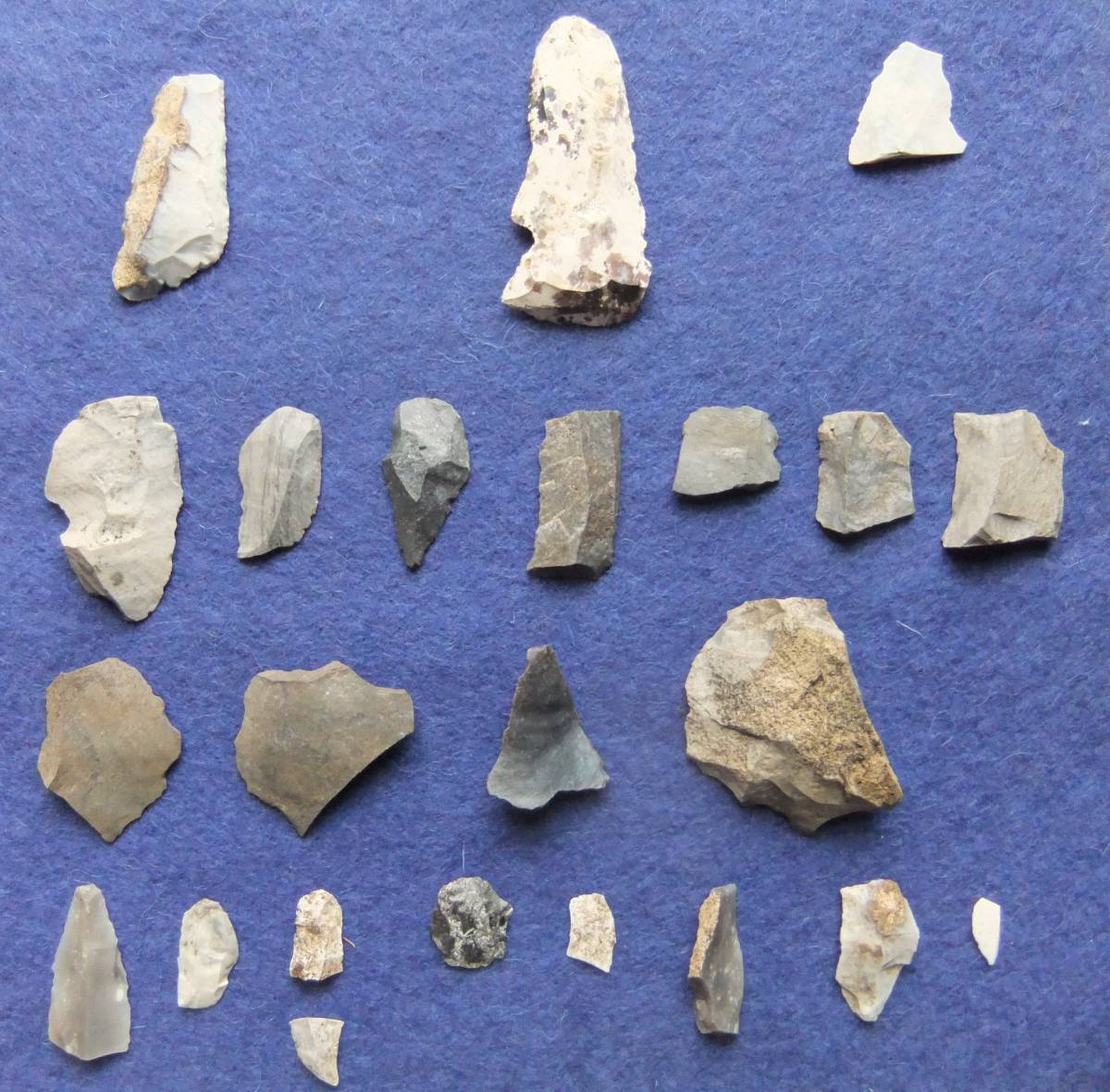
| Image 24 Description | Later prehistoric arrowpoints. Stray finds from Carperby Moor. The Wensleydale Museum, Hawes. | 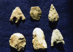 |
| Image 25 ID | 6124 |
| Image 25 Description | Carperby Moor. Recent lithic finds from two locations. The affinities of these lithic finds will be the subject of separate SWAAG Records. | 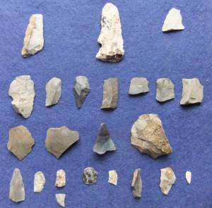 |
| Image 26 ID | 6125 |
| Image 26 Description | Early settlement enclosures below Wegber. | 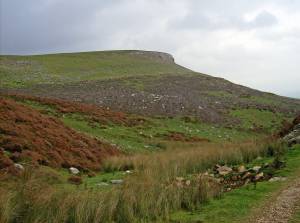 |
| Image 27 ID | 6126 |
| Image 27 Description | Wegber Scar, small building related to the stone quarries. | 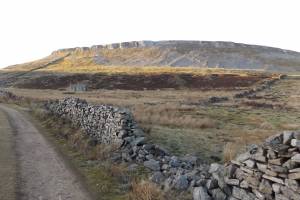 |
| Image 28 ID | 6127 |
| Image 28 Description | Burnt mound, obscured by heather near stream below Wegber. One of two here. | 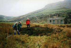 |
| Image 29 ID | 6128 |
| Image 29 Description | Small circular cairn under heather, located at the head of the defile below Wegber Scar and some 400m east of the stone circle. This location at a pass through the hills and close to a stone ring is characteristic of similar burial mounds, eg above Osmonnd's Gill on Barningham Moor. |  |
| Image 30 ID | 6134 |
| Image 30 Description | Stone circle above Thackthwaite Beck, initial survey by Tim Laurie and Robin Minnitt, embanked stone circle on Oxclose (After Raistrick 1939) and stray lithic finds from Carperby Moor.(Laurie, T.C. 2003, Figure 73). | 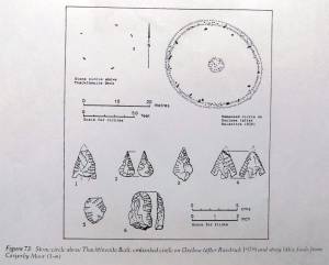 |