|
| *****SWAAG_ID***** | 850 |
| Date Entered | 14/02/2015 |
| Updated on | 12/04/2015 |
| Recorded by | Alan and Judith Mills |
| Category | Mining Related |
| Record Type | Mining |
| SWAAG Site Name | |
| Site Type | |
| Site Name | |
| Site Description | |
| Site Access | Public Access Land |
| Record Date | 14/02/2015 |
| Location | Harkerside |
| Civil Parish | Grinton |
| Brit. National Grid | SE 01347 97469 |
| Altitude | 1280ft |
| Geology | |
| Record Name | Mine site |
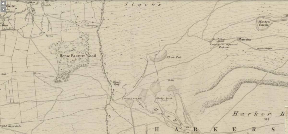
| Record Description | A derelict mining site on Harkerside. Its location coincides with "Harker Level" on the 1st Edition 6" OS map - see image below. There is no known evidence of it actually having that name when in use; it possibly acquired that name simply by virtue of its location.
It is mentioned in Dunham & Wilson p 174 "An adit [0134 9745] at 1300ft from the north end of the hush system would also give command of the Underset beds but no record of its course remains."
This mine is also probably the one referred to in British Mining no. 51, The Grinton Mines, p 70 "A level was driven from the foot of the hush on the dale side of the saddle [formed by High Harker Hill] in a SSE direction back towards Grovebeck. This would have been able to work the Underset Limestone , as well as the Main Limestone. This level was mentioned in 1761 when the mine was let to Robert Elliott and partners. It is likely that it was driven by Marriott earlier that century [Ref NYCRO ZKU 1X 1/43] ". Little remains of the mine apart from one clear bouse team, perhaps one of maybe five - see images below - the spoil heap, and the footings of at least two buildings, again see images below. |
| Dimensions | |
| Geographical area | |
| Species | |
| Scientific Name | |
| Common / Notable Species | |
| Tree and / or Stem Girth | |
| Tree: Position / Form / Status | |
| Tree Site ID | 0 |
| Associated Site SWAAG ID | 0 |
| Additional Notes | |
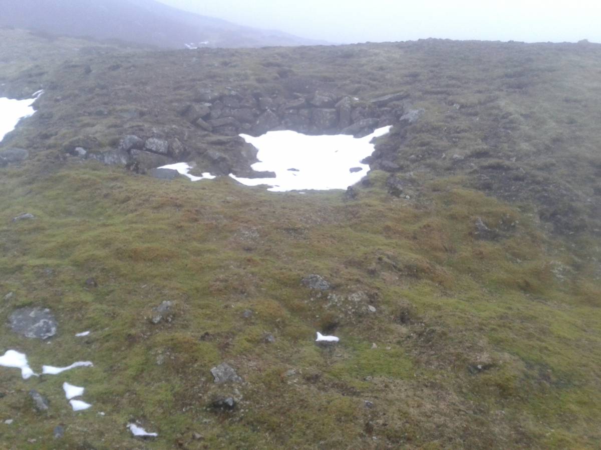
| Image 1 ID | 6074 Click image to enlarge |
| Image 1 Description | What appears to be a single bouse team, built into the side of a large spoil heap
at SE 01348 97450
But note image 6199 below. | 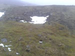 |
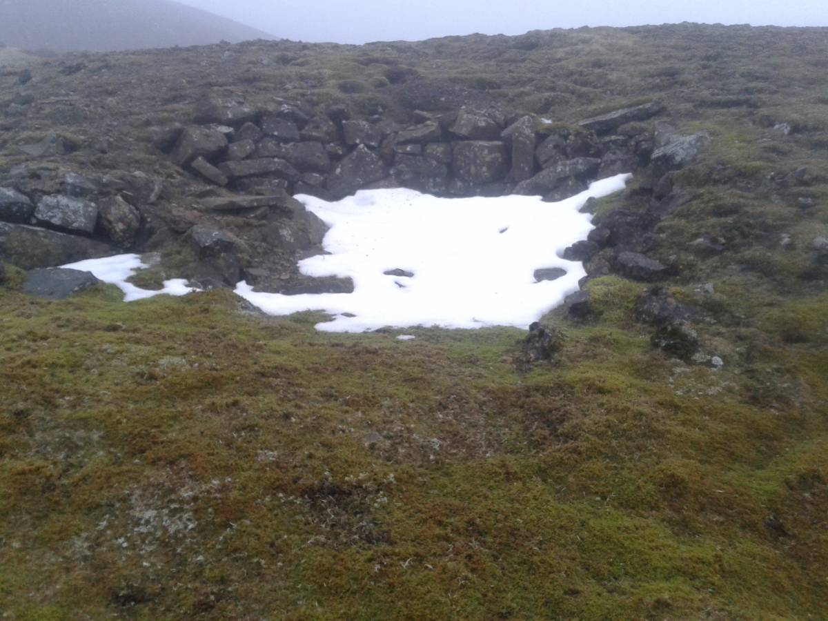
| Image 2 ID | 6075 Click image to enlarge |
| Image 2 Description | A close-up of the bouse team. | 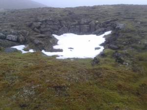 |
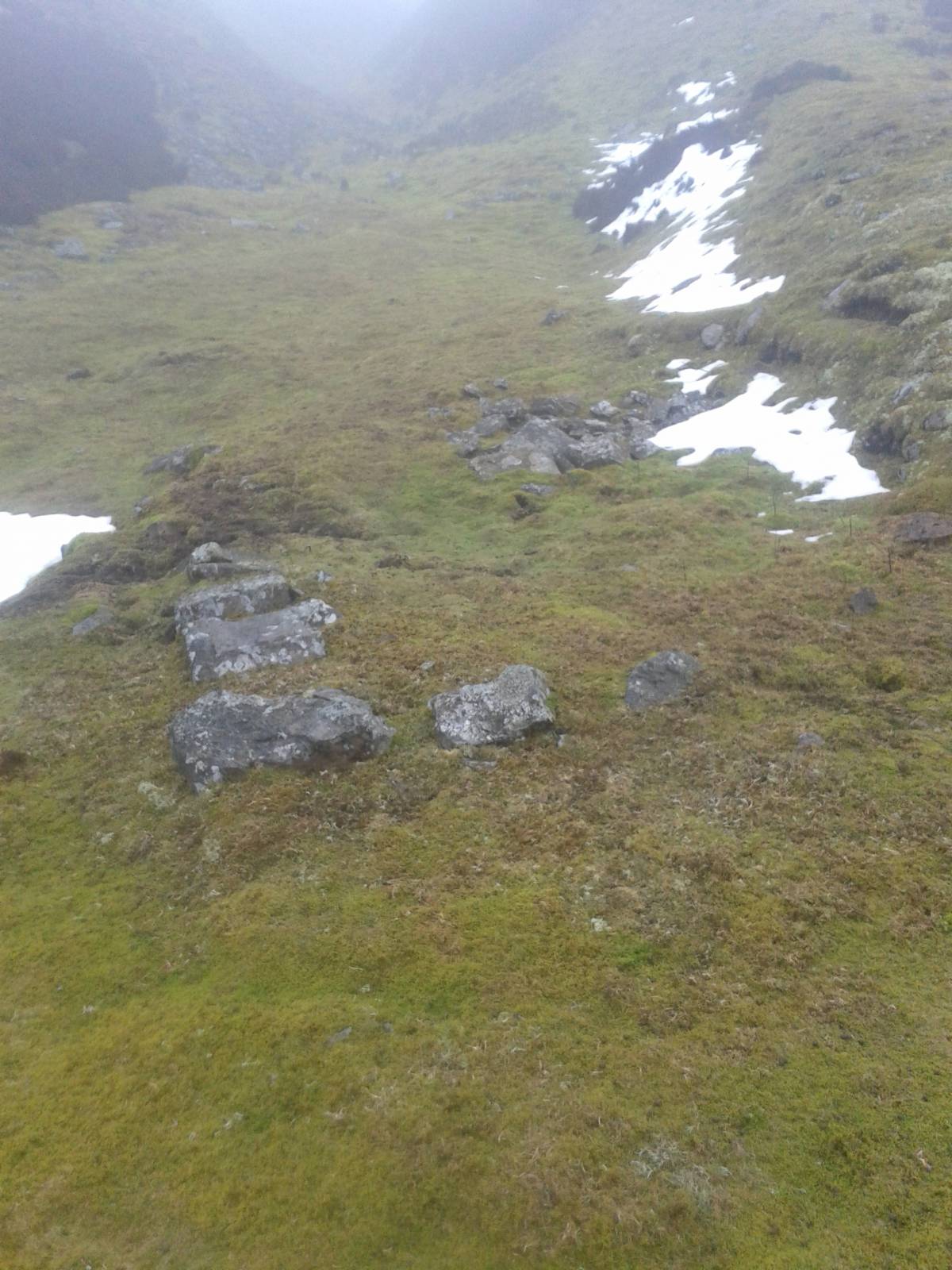
| Image 3 ID | 6079 Click image to enlarge |
| Image 3 Description | Close to the bouse team, to the East, what appear to be the foundations of a small rectangular structure. |  |
| Image 4 ID | 6077 Click image to enlarge |
| Image 4 Description | Also nearby and to the North, the foundations and low wall of another rectangular structure
at SE 01347 97469 | 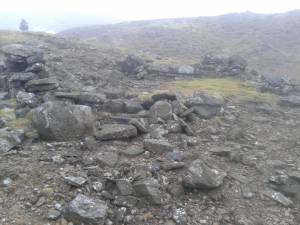 |
| Image 5 ID | 6199 Click image to enlarge |
| Image 5 Description | We thought at first that there was only one bouse team associated with this mine, but on closer inspection after the snow had melted it looks as if this there were perhaps five. This image is of the ruins of the lower (fifth) potential bouse team, to the south west at SE 01338 97457 . | 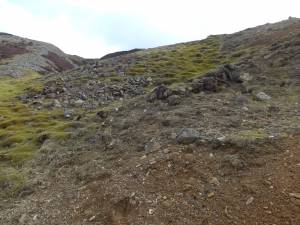 |
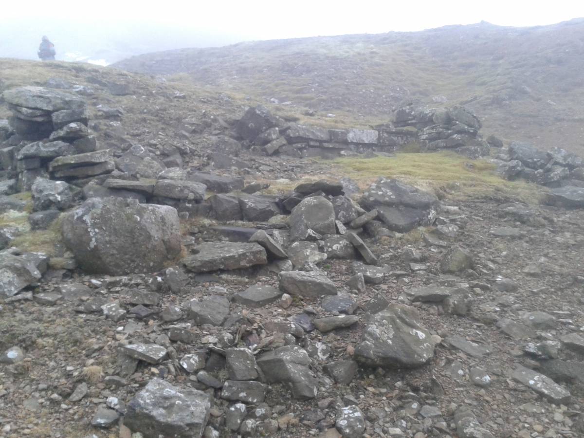
| Image 6 ID | 6197 Click image to enlarge |
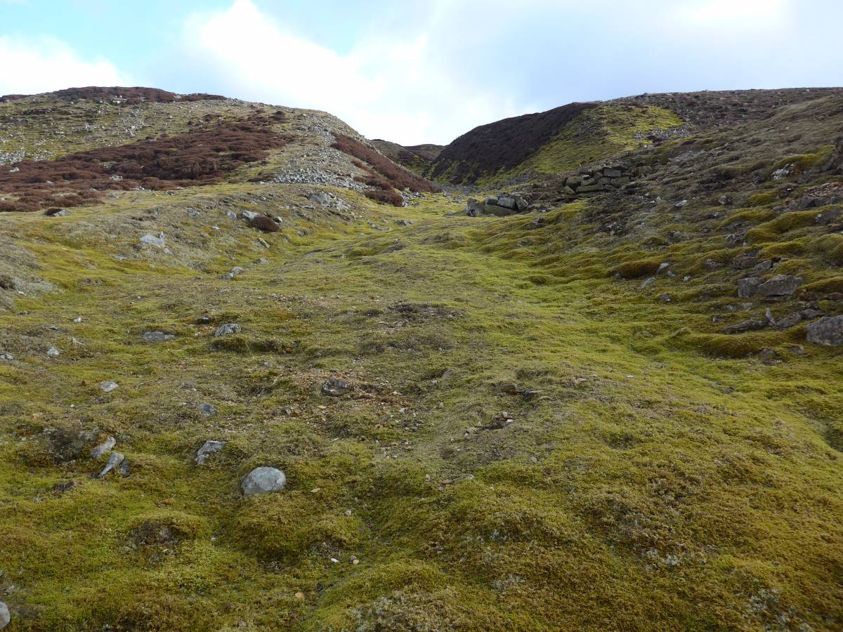
| Image 6 Description | The level seems to have been driven on the hush running south east uphill, shown here. |  |
| Image 7 ID | 6198 Click image to enlarge |
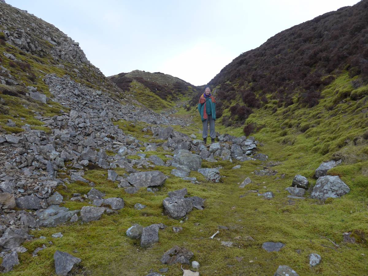
| Image 7 Description | There is no clear evidence of the level portal in the hush; this seems to be the most likely place at SE 01373 97403 . |  |
| Image 8 ID | 6196 Click image to enlarge |
| Image 8 Description | An extract from the 1st Edition OS showing Harker Level (disused). The current shooting track is much closer than those tracks shown here, running underneath the spoil heap. | 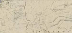 |