|
| *****SWAAG_ID***** | 853 |
| Date Entered | 13/03/2015 |
| Updated on | 05/04/2015 |
| Recorded by | Tim Laurie |
| Category | Ring Cairns |
| Record Type | Archaeology |
| SWAAG Site Name | |
| Site Type | |
| Site Name | |
| Site Description | |
| Site Access | Public Access Land |
| Location | Carperby Moor. Little Wegber NE Slope Springs. |
| Civil Parish | Carperby Cum Thoresby |
| Brit. National Grid | SD 99500 92103 |
| Altitude | 397m |
| Geology | Valley slope glacial drift over strata below The Main Limestone |
| Record Name | Carperby Moor.Ring cairn or round house enclosure below Greenhaw Hut. |
| Record Description | Boulder revetted hill slope oval enclosure 16m* 11m overall with no visible entrance, trackway or other nearby structure indicating that this isolated feature was a round house. This isolated enclosure is located on the lower slopes at the head of the steep sided glaciated valley below Greenhow Hut, not named on the OS map, which is drained by a small stream which falls into Locker Tarn. In the first instance this feature is provisionally interpreted as a ring cairn. However as this enclosure is well sited as a dwelling just above the floor of the valley, the possibility that this is an isolated hut circle cannot be ruled out. |
| Dimensions | 16m*11m overall |
| Geographical area | |
| Species | |
| Scientific Name | |
| Common / Notable Species | |
| Tree and / or Stem Girth | |
| Tree: Position / Form / Status | |
| Tree Site ID | 0 |
| Associated Site SWAAG ID | 0 |
| Additional Notes | This ring bank was recognised after the survey which resulted in the publication of the Map showing Prehistoric sites on Carperby Moor, within Bolton East and West parks and above Redmire( see: Researching the Prehistory of Wensleydale, Swaledale and Teesdale, pp223-253 and Figure 61, in T.G. Manby et al. Eds. 'The Archaeology of Yorkshire: an assessment at the beginning of the 21st century.'Yorks. Arch. Soc. Occasional Paper No 3. |
| Image 1 ID | 6129 Click image to enlarge |
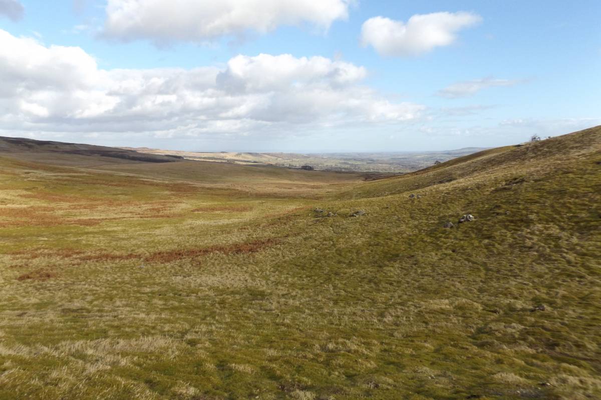
| Image 1 Description | View to the ring bank, on slope centre right, from the North | 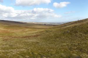 |
| Image 2 ID | 6130 Click image to enlarge |
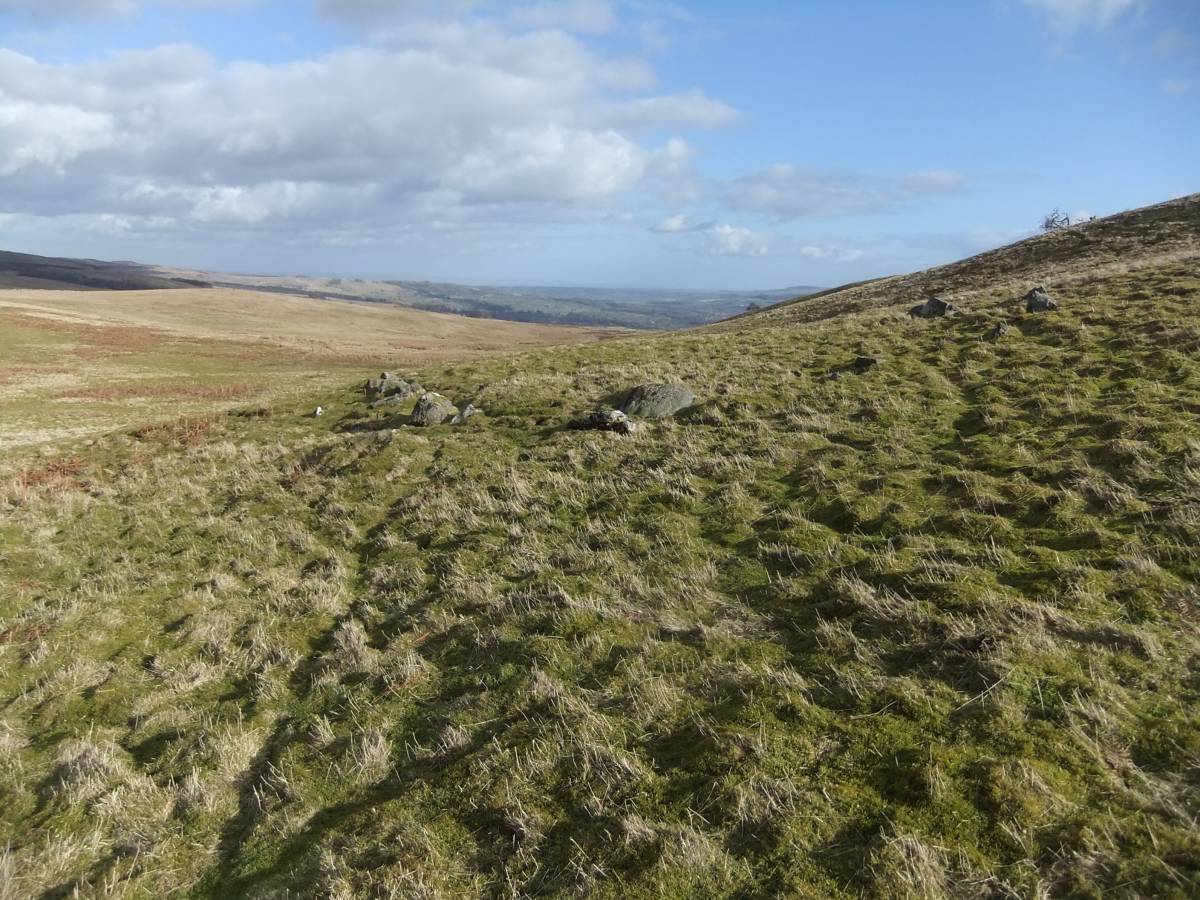
| Image 2 Description | The stone revetted ring work from the North. | 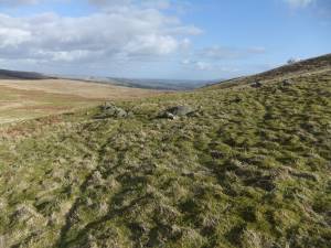 |
| Image 3 ID | 6131 Click image to enlarge |
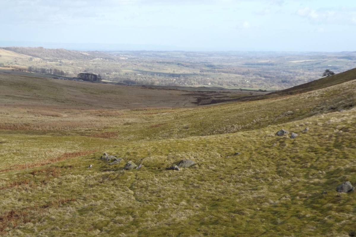
| Image 3 Description | View over the site southward over the Vale of Mowbray. North York Moors just visible in distance. | 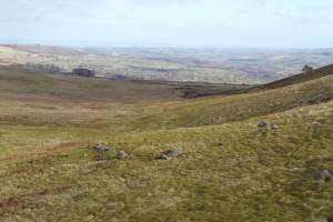 |
| Image 4 ID | 6132 Click image to enlarge |
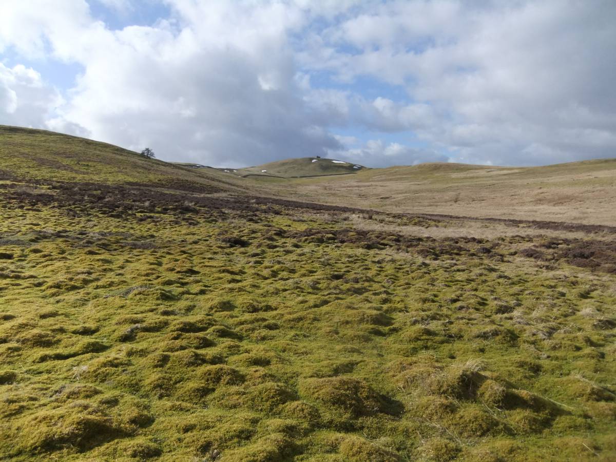
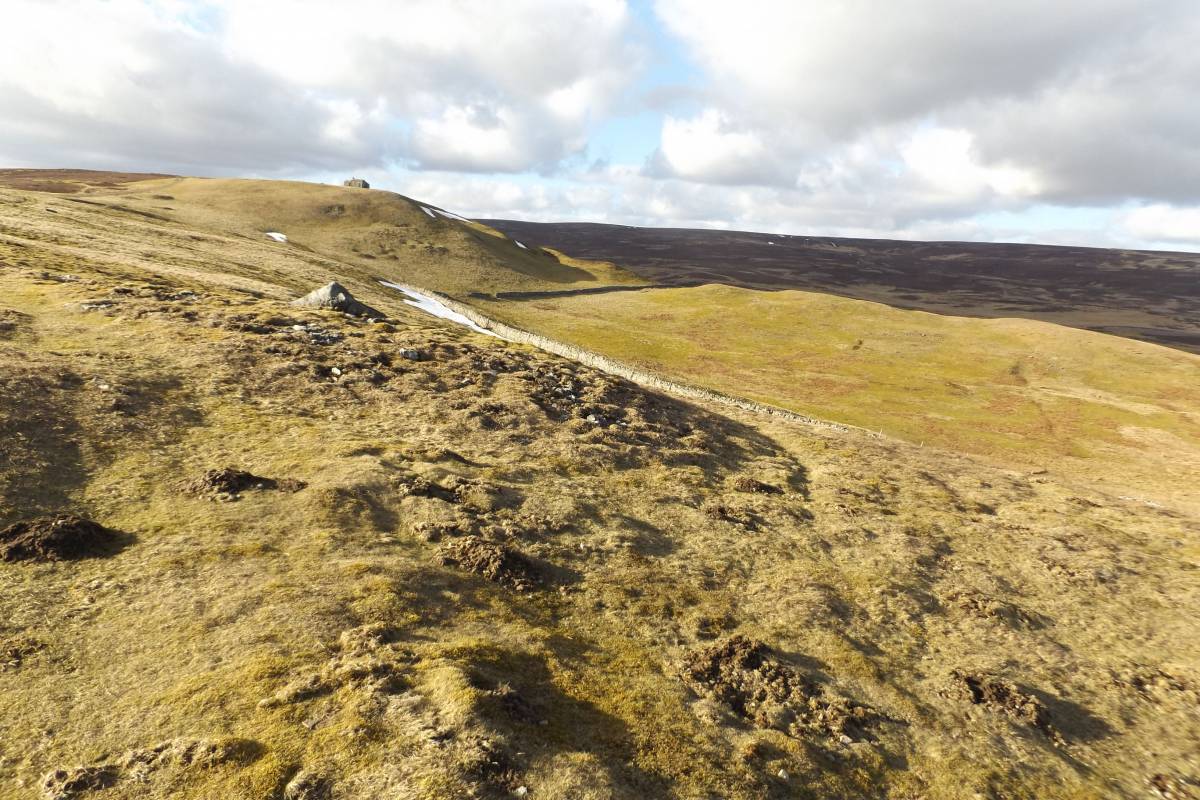
| Image 4 Description | The site is at the head of this shallow valley below GreenHaw Hut. | 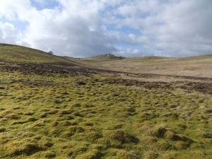 |
| Image 5 ID | 6133 Click image to enlarge |
| Image 5 Description | Green Haw Hut from the edge of Carperby Moor. | 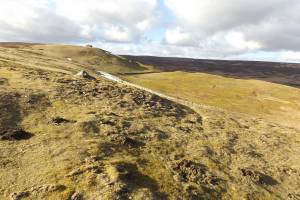 |