|
| *****SWAAG_ID***** | 883 |
| Date Entered | 24/07/2015 |
| Updated on | 26/07/2015 |
| Recorded by | Tim Laurie |
| Category | Geographical Record |
| Record Type | General HER |
| SWAAG Site Name | |
| Site Type | |
| Site Name | |
| Site Description | |
| Site Access | |
| Record Date | 18/07/2015 |
| Location | Upper Wensleydale. Thwaite Bridge and Mossdale. |
| Civil Parish | Hawes |
| Brit. National Grid | SD 8261 9224 |
| Altitude | 276m |
| Geology | Glacial Drift over sandstones, shales and limestones below the Main Limestone. |
| Record Name | A walk from Thwaite Bridge to The Mossdale Tunnel on the abandonned Wensleydale Railway to the Mossdale Waterfalls |
| Record Description | This walk will provide a photographic record of an interesting walk from Thwaite Bridge to the Mossdale Tunnel, which while only 245m in length, was one of the most difficult and expensive sections of the Wensleydale Railway to construct , costing £40.000.
From the Railway we recorded the vegetation and relict woodland seen within Mossdale Gill and within the higher waterfall ravines. This area is pathless and seldom visited. |
| Dimensions | |
| Geographical area | |
| Species | |
| Scientific Name | |
| Common / Notable Species | |
| Tree and / or Stem Girth | |
| Tree: Position / Form / Status | |
| Tree Site ID | 0 |
| Associated Site SWAAG ID | 0 |
| Additional Notes | These gentle landscapes, the higher reaches of Upper Wensledale, provide an easy access across the National Divide, at an elevation of just 312m at the Moorcock Inn, to Sedbergh through Garsdale and to the Vale of Eden throgh Mallerstang and are very different from their equivalent landscapes above Keld in Upper Swaledale, which lead over Birkdale Common to Mallerstang Edge. |
| Image 1 ID | 6305 Click image to enlarge |
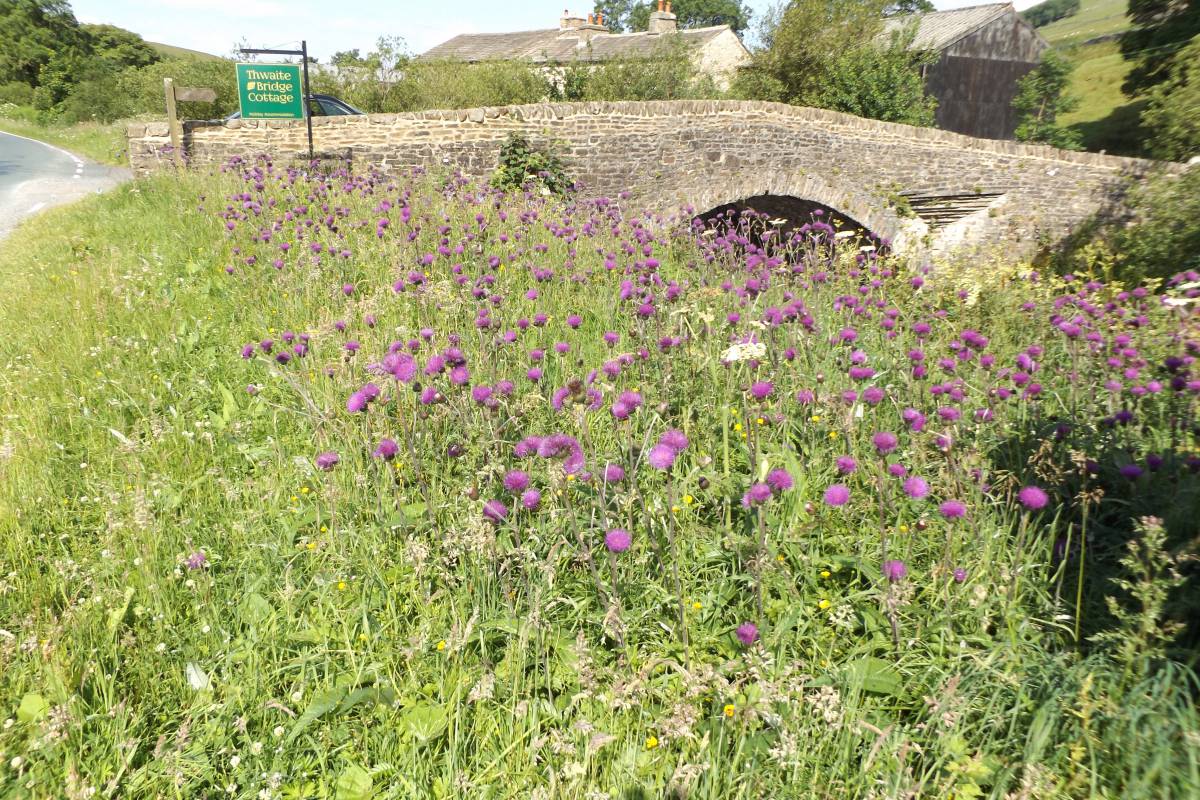
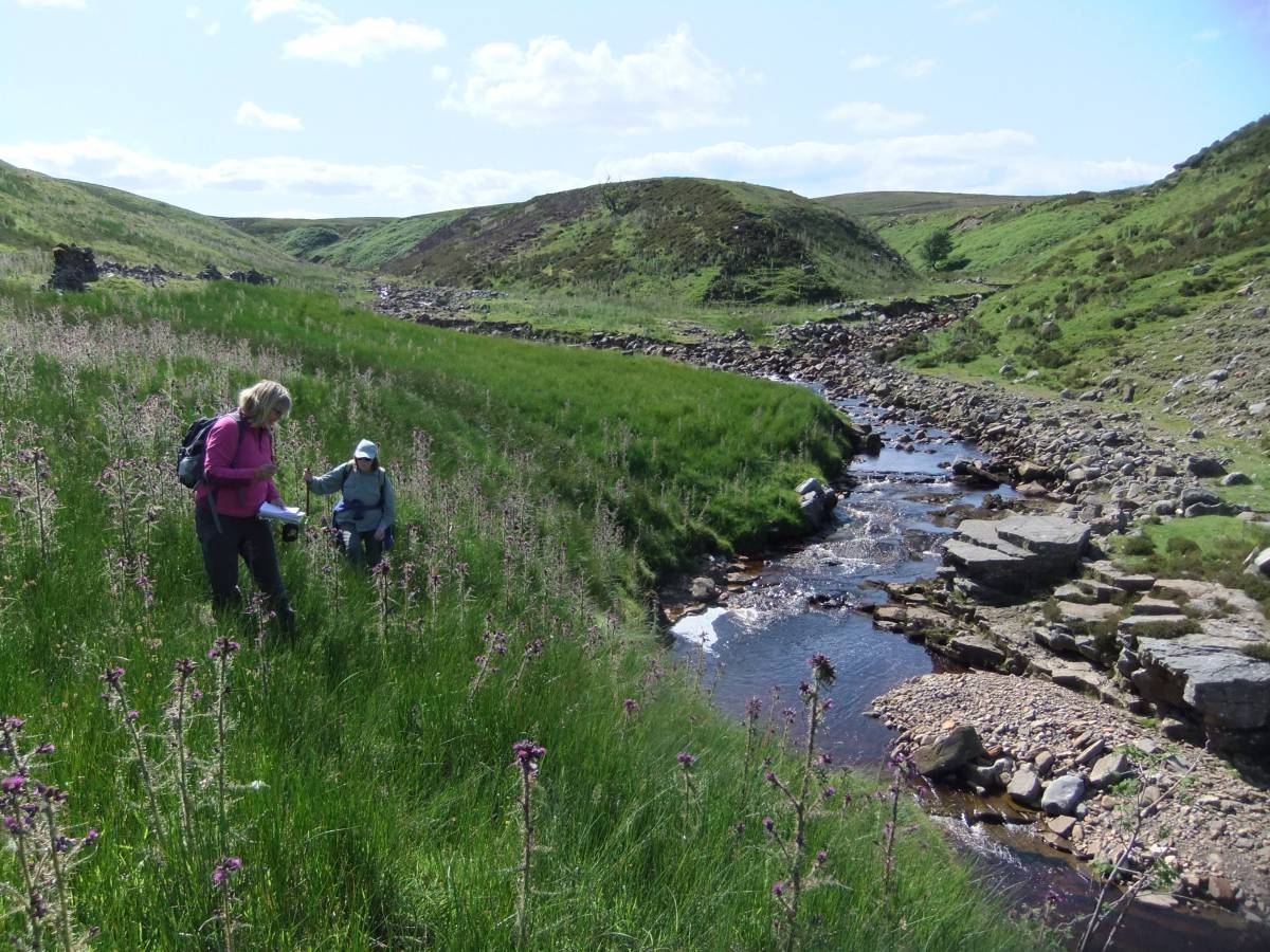
| Image 1 Description | Thwaite Bridge with large colony of Melancholy Thistle. The walk commenced from here. |  |
| Image 2 ID | 6306 Click image to enlarge |
| Image 2 Description | Marsh Orchid. One of the many variants and in good form in the species-rich road verges. | 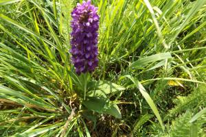 |
| Image 3 ID | 6307 Click image to enlarge |
| Image 3 Description | Marsh Orchid. | 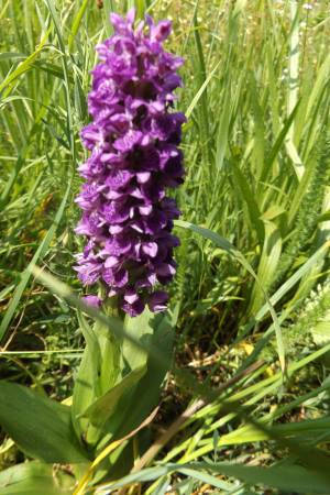 |
| Image 4 ID | 6308 Click image to enlarge |
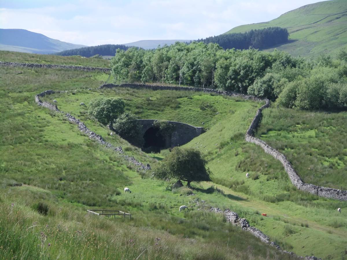
| Image 4 Description | The Mossdale Tunnel, eastern entrance. | 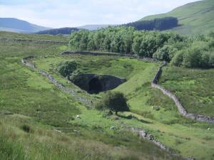 |
| Image 5 ID | 6309 Click image to enlarge |
| Image 5 Description | The Mossdale Tunnel, approach to the western exit entrance. |  |
| Image 6 ID | 6310 Click image to enlarge |
| Image 6 Description | The Mossdale Tunnel, western entrance. | 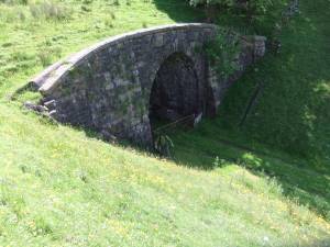 |
| Image 7 ID | 6311 Click image to enlarge |
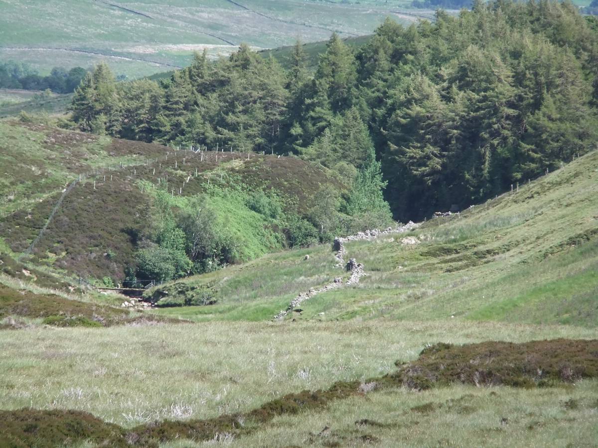
| Image 7 Description | The bed of the abandoned railway continues towards Garstang. | 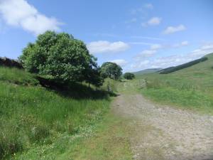 |
| Image 8 ID | 6312 Click image to enlarge |
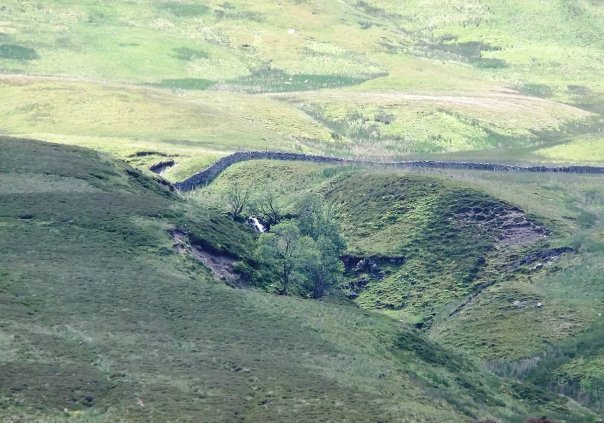
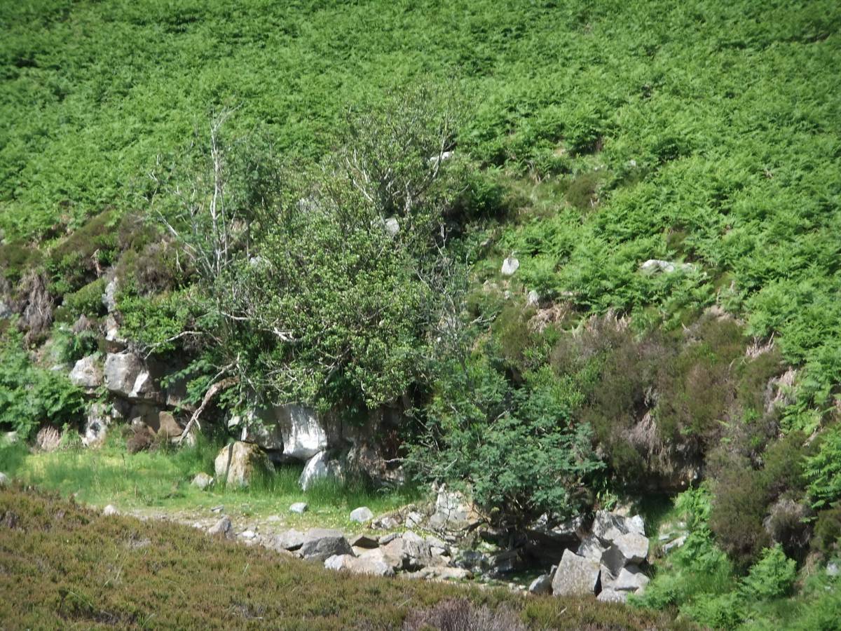
| Image 8 Description | Mossdale Gill Head. Relict woodland with aspens visible on the low cliff at the head of the Gill below the conifer plantation | 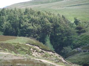 |
| Image 9 ID | 6313 Click image to enlarge |
| Image 9 Description | The relict woodland with hollies,rowan, aspen,sallows and downy birch on the ravine cliffs contrasts with the conifer plantation. | 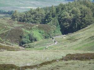 |
| Image 10 ID | 6314 Click image to enlarge |
| Image 10 Description | Relict woodland, Mossdale Gill |  |
| Image 11 ID | 6334 |
| Image 11 Description | Rowans are the only tree higher up at the Falls on Routing Gill | 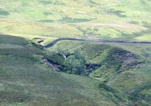 |
| Image 12 ID | 6315 |
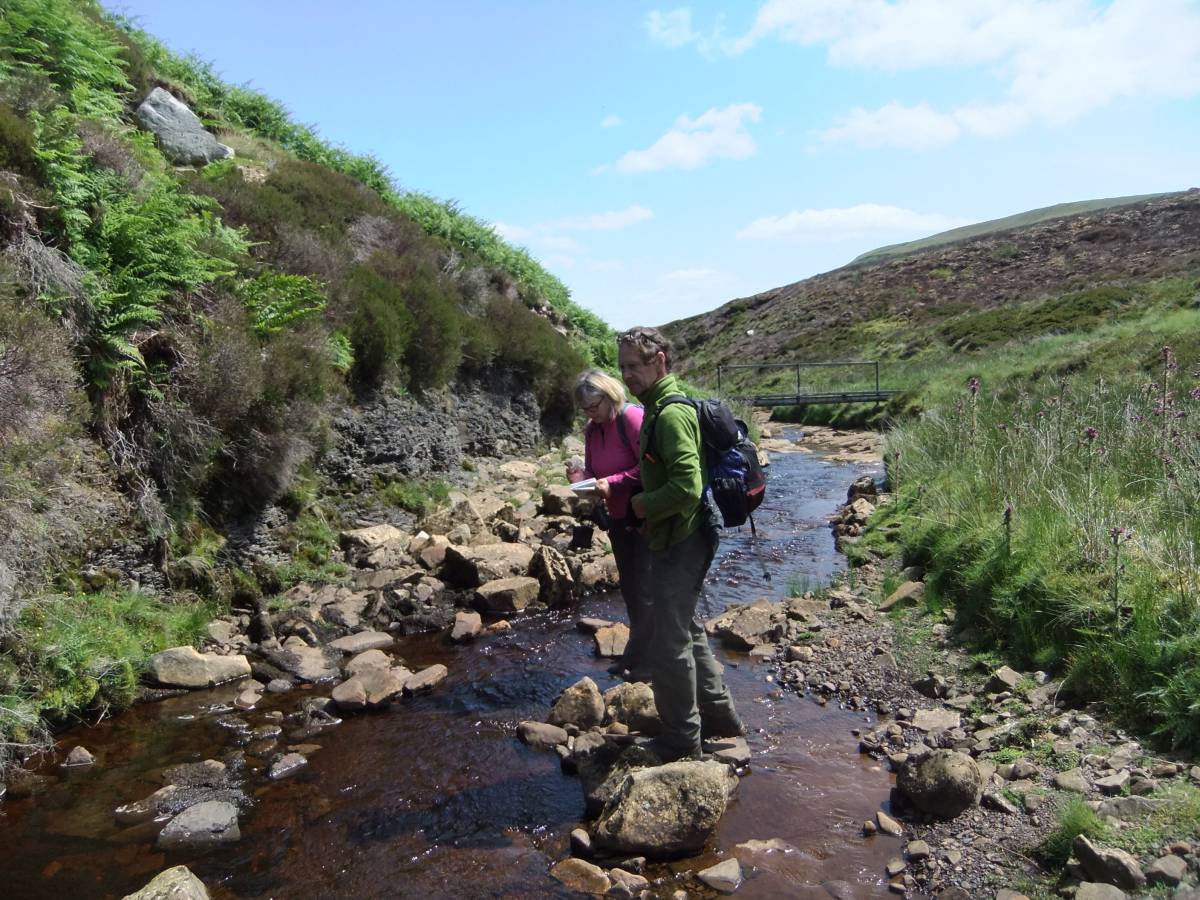
| Image 12 Description | Recording the species rich native woodland at the head of Mossdale Gill. | 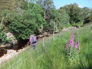 |
| Image 13 ID | 6316 |
| Image 13 Description | Aspens in relict woodland on low sandstone cliff at the head of Mossdale Gill. | 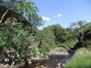 |
| Image 14 ID | 6317 |
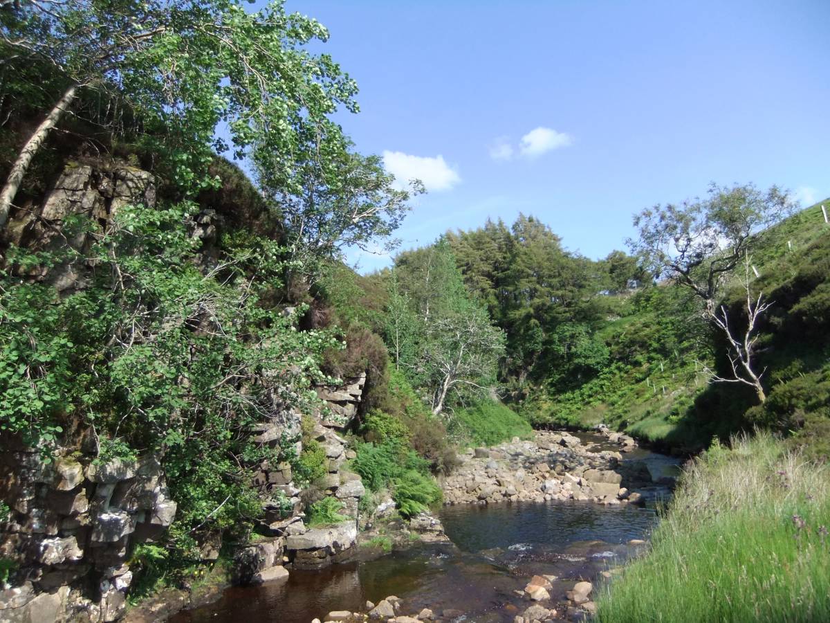
| Image 14 Description | Deep pool and low fall on Mossdale Beck | 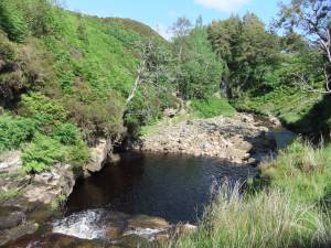 |
| Image 15 ID | 6318 |
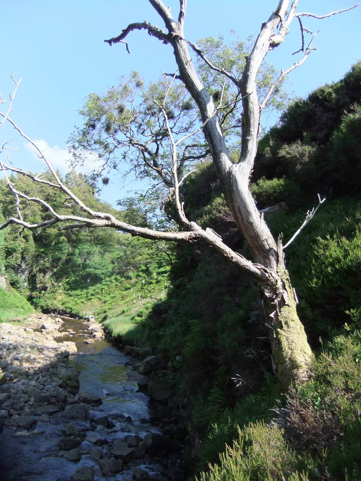
| Image 15 Description | Witches brooms on a Downy Birch tree at the head of Mossdale Gill. |  |
| Image 16 ID | 6319 |
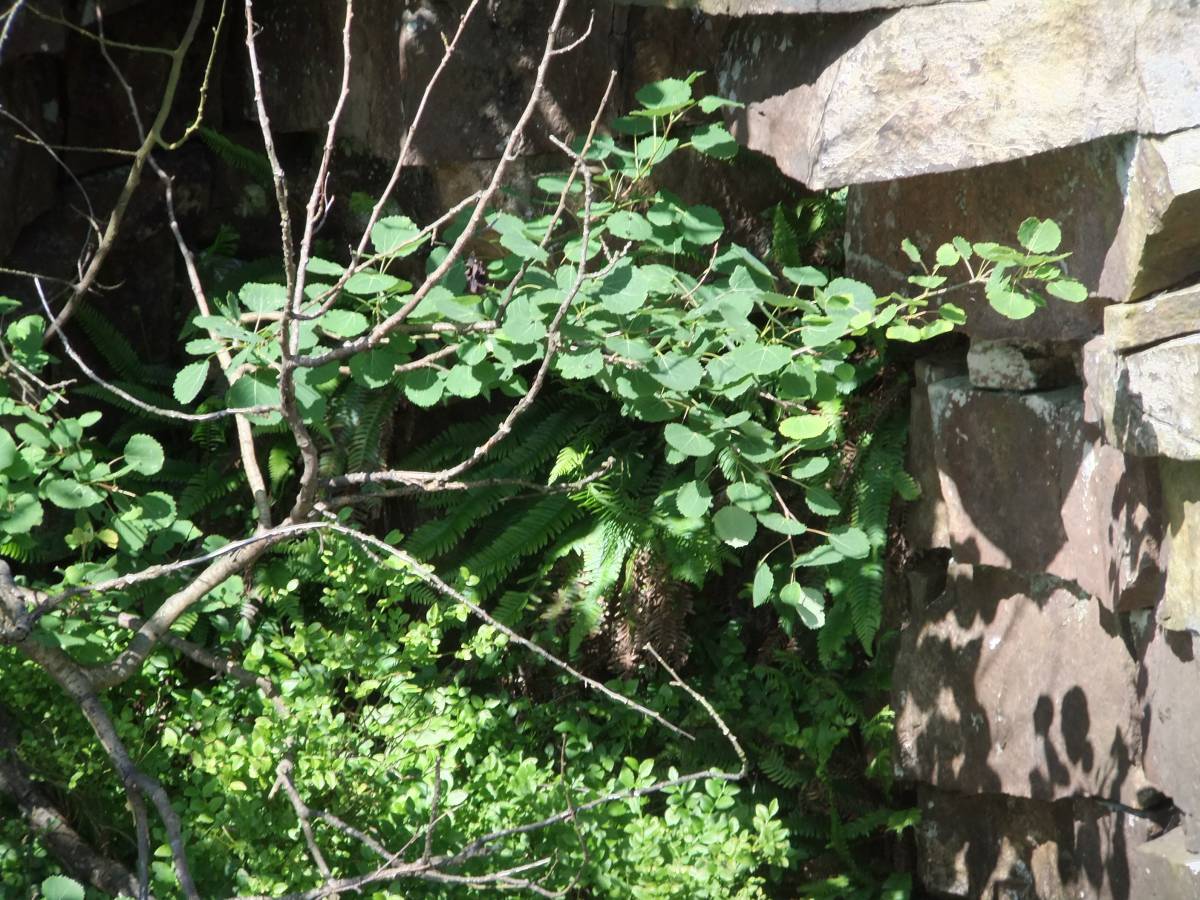
| Image 16 Description | Detail of aspen with Hard Fern (Blechnum spicant)on low sandstone cliff at the head of Mossdale Gill. |  |
| Image 17 ID | 6321 |
| Image 17 Description | Native woodland on cliff below larch plantation | 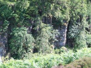 |
| Image 18 ID | 6320 |
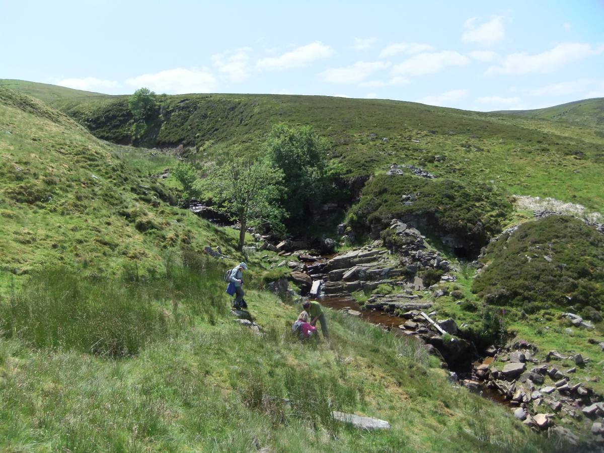
| Image 18 Description | Recording moorland vegetation higher up Mossdale Gill. |  |
| Image 19 ID | 6323 |
| Image 19 Description | Recording vegetation with Lemon Scented Fern on low shale cliff overlies the limestone in the bed of the stream, Routing Gill. |  |
| Image 20 ID | 6324 |
| Image 20 Description | Recording vegetation with Lemon Scented Fern on low shale cliff overlies the limestone in the bed of the stream, Routing Gill. | 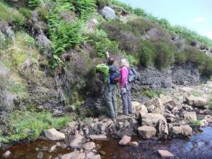 |
| Image 21 ID | 6325 |
| Image 21 Description | Lemon Scented Fern, detail | 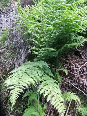 |
| Image 22 ID | 6326 |
| Image 22 Description | Ancient wind blown hollies and rowan on low sandstone cliff. |  |
| Image 23 ID | 6327 |
| Image 23 Description | Time to stop for lunch below the lower falls. Stone mine adit visible on opposite bank. |  |
| Image 24 ID | 6328 |
| Image 24 Description | Carpeting thyme is the most prominent flower on the stream gravels. | 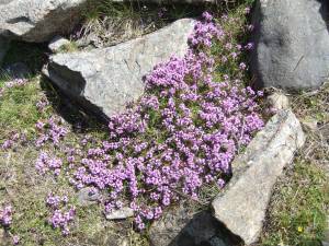 |
| Image 25 ID | 6329 |
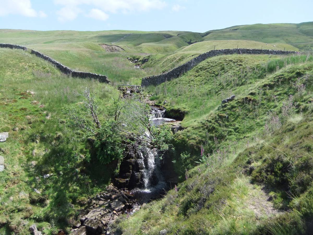
| Image 25 Description | The lower falls on Routing Beck. Rowan and downy birch the trees here. | 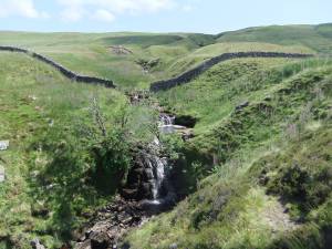 |
| Image 26 ID | 6330 |
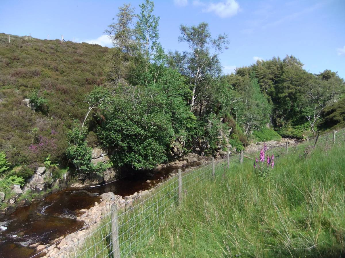
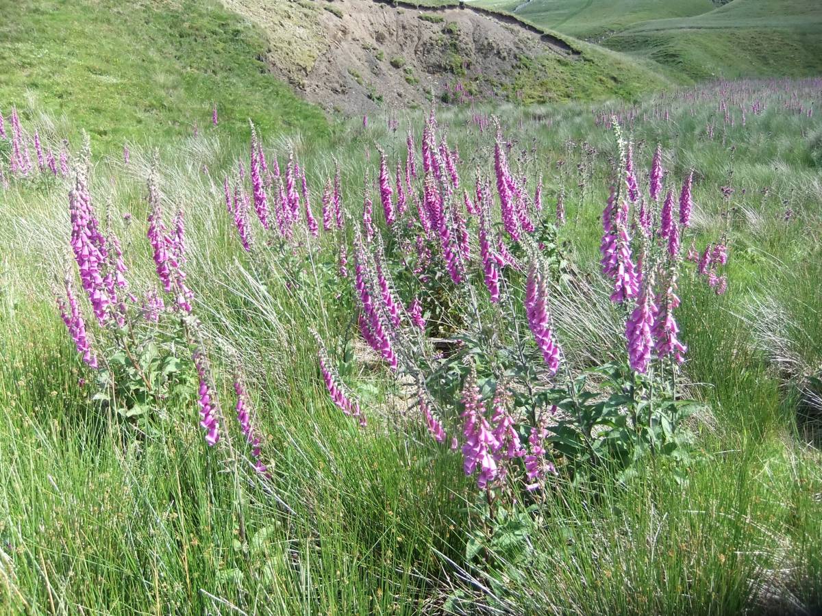
| Image 26 Description | Foxgloves in their prime by the stream | 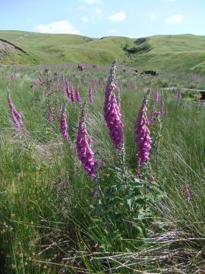 |
| Image 27 ID | 6331 |
| Image 27 Description | Foxgloves in their prime by the stream |  |
| Image 28 ID | 6332 |
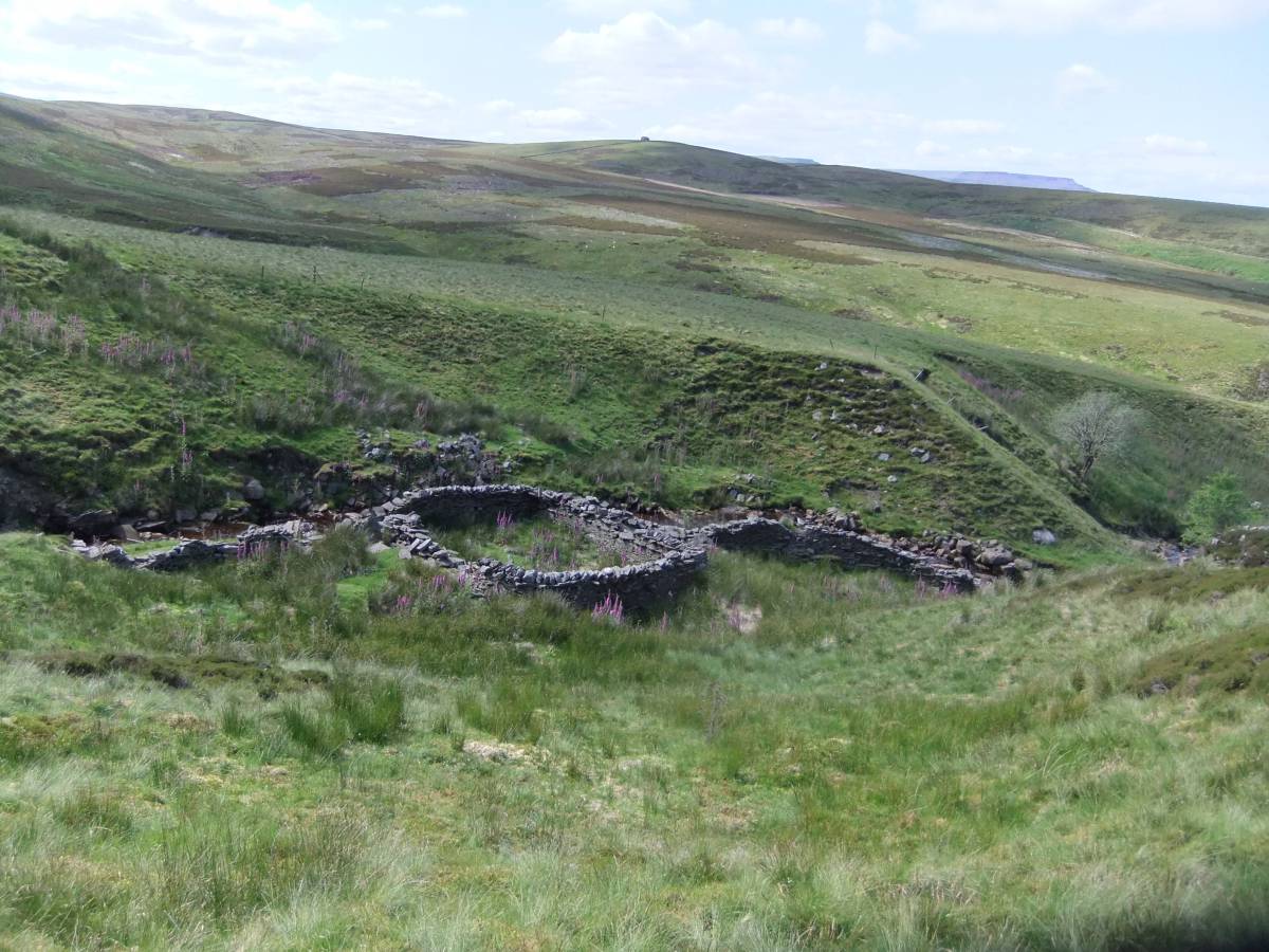
| Image 28 Description | Washfold on Routing Gill | 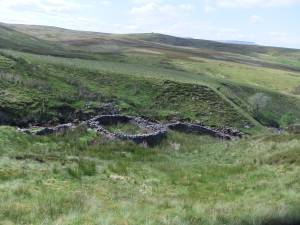 |
| Image 29 ID | 6333 |
| Image 29 Description | Washfold on Routing Gill | 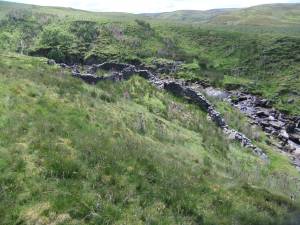 |
| Image 30 ID | 6335 |
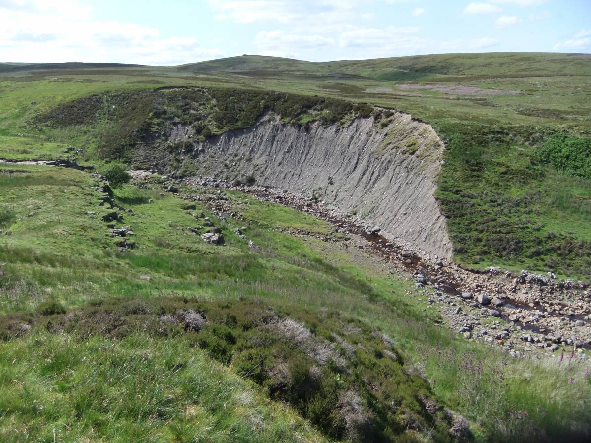
| Image 30 Description | Glacial till or boulder clay exposed by stream erosion directly overlies the limestone bed of Routing Gill. |  |