|
| *****SWAAG_ID***** | 874 |
| Date Entered | 11/04/2015 |
| Updated on | 12/04/2015 |
| Recorded by | Tim Laurie |
| Category | Settlement |
| Record Type | Archaeology |
| SWAAG Site Name | |
| Site Type | |
| Site Name | |
| Site Description | |
| Site Access | Public Access Land |
| Record Date | 09/04/2015 |
| Location | The route of a walk to visit Prehistoric Round House Settlement on Harland Hill from Whitrow Farm in Walden |
| Civil Parish | Carlton Town |
| Brit. National Grid | SE 0270 8376 |
| Altitude | 460 |
| Geology | Spring line at base of upper slope of Harland Hill. Concave slope over impervious shales overlooking the wide glaciated ridge covered with glacial hummocky drift between Walden and Coverdale. Harland Hill is formed from hard Namurian chert and sandstone strata streamlined by ice to a characteristic glacial landform, see photos . The Main Limestone with mineralised faults marked by isolated shaft mounds is exposed as a small ravine at the head of the glacially enlarged U shaped Cumma Gill. |
| Record Name | A SWAAG walk to the Prehistoric Round House Settlement on Harland Hill from Whitrow Farm, in Walden. |
| Record Description | On a fine April Day 14 SWAAG members walked from Whitrow Farm in Walden to visit the recently recognised High Level Prehistoric Round House Settlement at Jenkins Folds on Harland Hil,returning via the head of Cumma Gill and the track which follows the Moor Edge above Fleensop Farm.
NOTES
1.For details of the Prehistoric Settlement on Harland Hill See SWAAG Records Nos 807,808 and 809.
2.SWAAG Members on this walk would agree that Walden Dale is a most beautiful and interesting area. A total of 19 SWAAG Records can be accessed (Search the Database for Keyword: Walden) to see examples of the woodlands and settlements located on and below some of the more remote limestone scars at Walden Head.
|
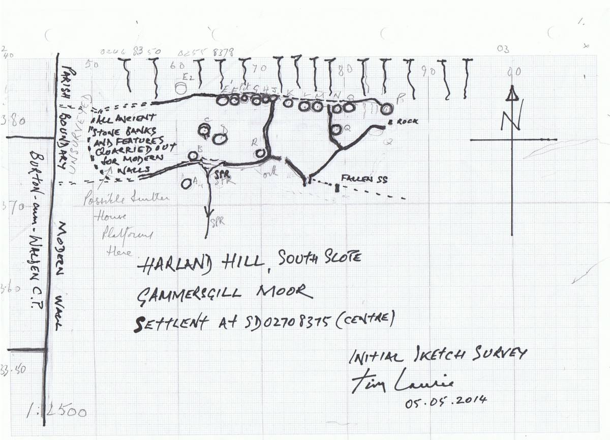
| Dimensions | Jenkins Fold Settlement measures 350m *100. overall. See initial survey plan below. |
| Geographical area | |
| Species | |
| Scientific Name | |
| Common / Notable Species | |
| Tree and / or Stem Girth | |
| Tree: Position / Form / Status | |
| Tree Site ID | 0 |
| Associated Site SWAAG ID | 0 |
| Additional Notes | The following is a summary of my earlier SWAAG Records No 807-808 and 809 of the previous recording of the enclosures on Harland Hill known as Jenkins Folds which had been interpreted from aerial photography as possibly Romano British in origine possibly reused as medieval and later sheep folds however the 18 round house platforms which are necessary to interpret the site had not been seen:
'Following the previous Initial Record (SWAAG 808) of this site, a further visit has been made to establish the extent of the site and subsequent discussion with Robert White at the YDNP has revealed that this Site had been 'picked up by the OS 6†and the Yorkshire Dales Mapping Project and referred to as: “ Substantial network of original stone-built enclosures and interlinked folds. The sites are marked as 'Jenkins Folds' on the 1st Edition OS mapping and at least some of the remains surely were used as large stock enclosures through the post-medieval period. In form they are similar to possible prehistoric or Romano-British enclosure systems in the more upland areas of the Park and it is possible that the site had early origins and was then adapted to a purely stock enclosure use during the medieval and post-medieval periods. A survey and ground examination would be beneficial for the interpretation of the siteâ€. Robert has confirmed that the YDNP Database Record MYD16255 which has now been updated following my visit and the opinion that the site is a prehistoric settlement of at least 18 round house platforms or hut circles. The enclosure banks abut or are tangential to the round houses and I have not seen evidence of intrusive or later stone walling indicative of subsequent reoccupation as sheep fold. In these circumstances the enclosures are considered to be associated and contemporary with the round house settlement. The house platforms and hut circles are shrouded by moorland vegetation and very difficult to recognise from aerial photographs or Google Earth. |
| Image 1 ID | 6200 Click image to enlarge |
| Image 1 Description | Harland Hill seen from the track from Whitrow Farm. | 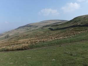 |
| Image 2 ID | 6201 Click image to enlarge |
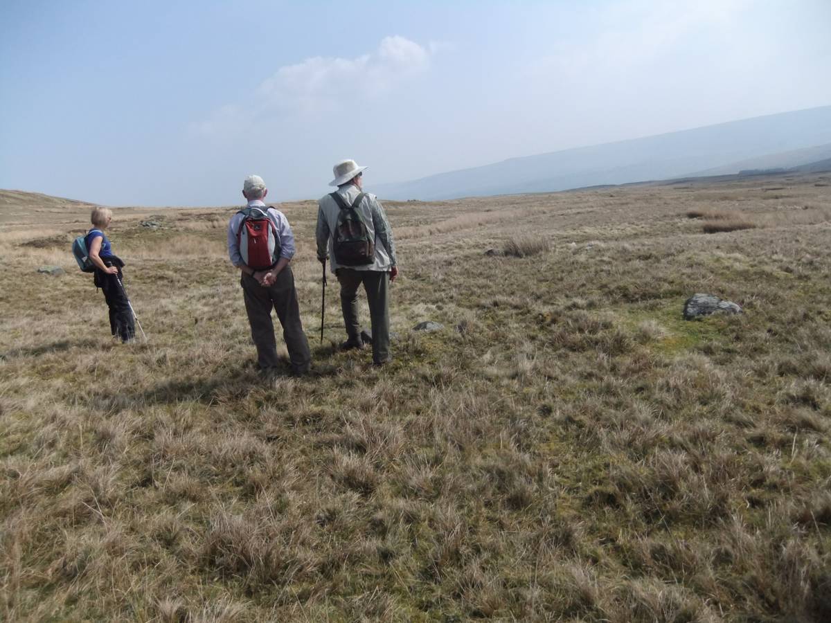
| Image 2 Description | SWAAG consider a possible round cairn and alignment of four rocks, three set on edge. | 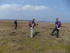 |
| Image 3 ID | 6202 Click image to enlarge |
| Image 3 Description | SWAAG consider a possible round cairn and alignment of four rocks, three set on edge. | 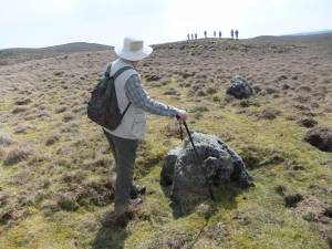 |
| Image 4 ID | 6203 Click image to enlarge |
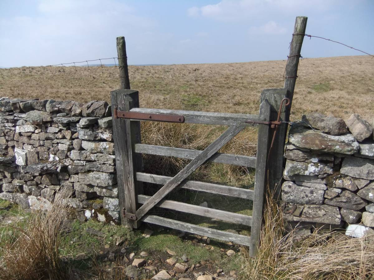
| Image 4 Description | The gate through the Parish Boundary Wall we were hoping to find. | 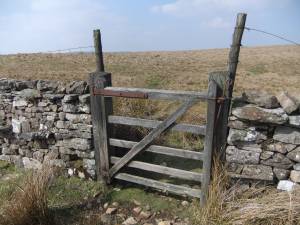 |
| Image 5 ID | 6204 Click image to enlarge |
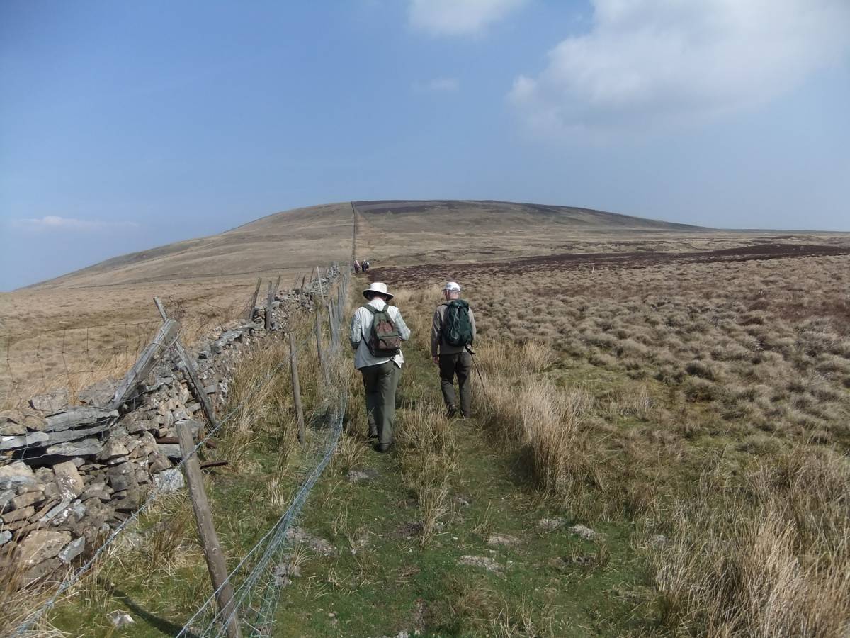
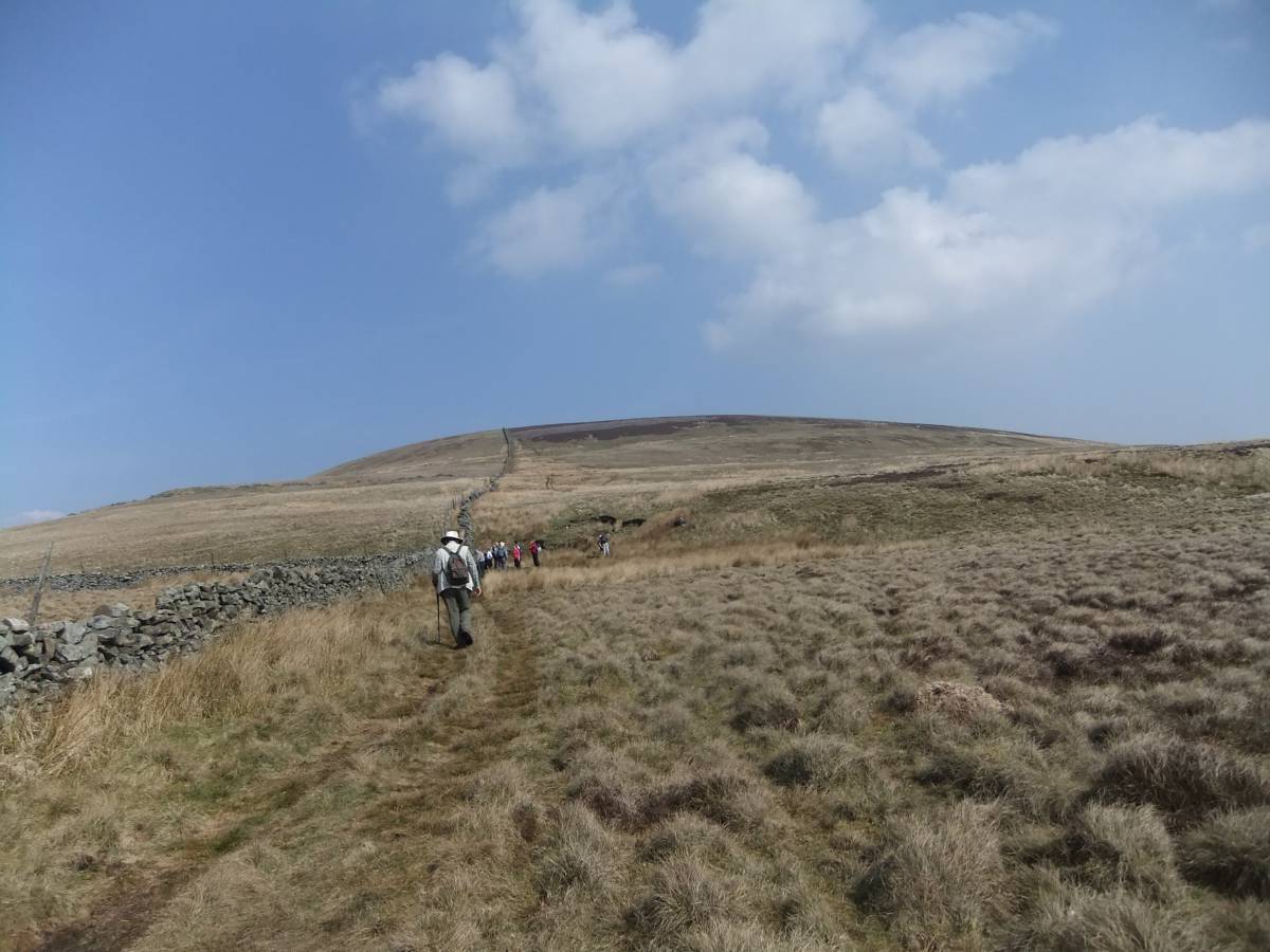
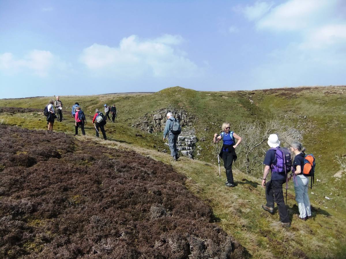
| Image 5 Description | The approach to Harland Hill follows the wall forming the Boundary between the Parishes of Burton cum Walden and CarltonTown/Gammersgill in Coverdale. | 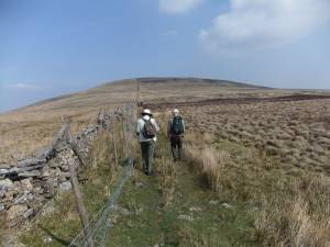 |
| Image 6 ID | 6205 Click image to enlarge |
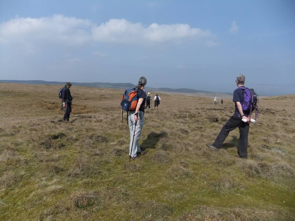
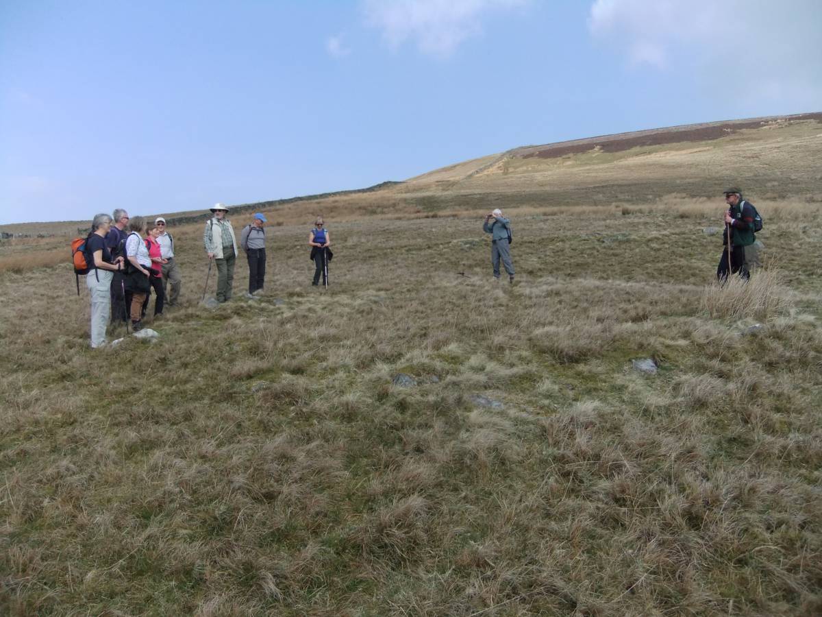
| Image 6 Description | A leisurely walk with a minute to discuss who will win the election | 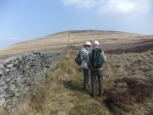 |
| Image 7 ID | 6206 Click image to enlarge |
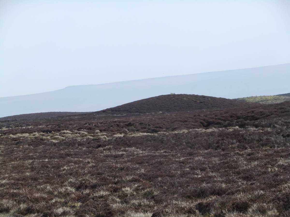
| Image 7 Description | Glacial hummocks of graceful streamlined profile, or small drumlins indicate that the Wensleydale Ice once overrode this ridge. | 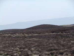 |
| Image 8 ID | 6207 Click image to enlarge |
| Image 8 Description | Most impressive of these glacial landforms is Harland Hill. |  |
| Image 9 ID | 6208 Click image to enlarge |
| Image 9 Description | Arrival at the first round house. | 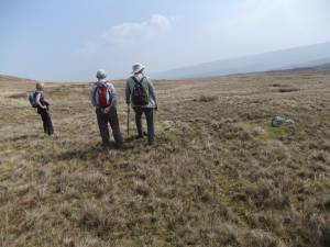 |
| Image 10 ID | 6209 Click image to enlarge |
| Image 10 Description | Swaag stand on the perimeter of the first of the round houses. | 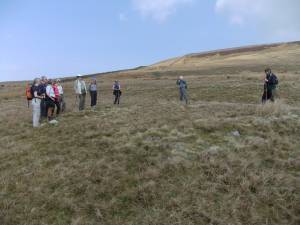 |
| Image 11 ID | 6210 |
| Image 11 Description | Harland Hill. Settlement at Jenkins Folds. Initial walkover survey plan. TCL May 2014. Detailed larger scale survey to follow. | 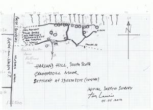 |
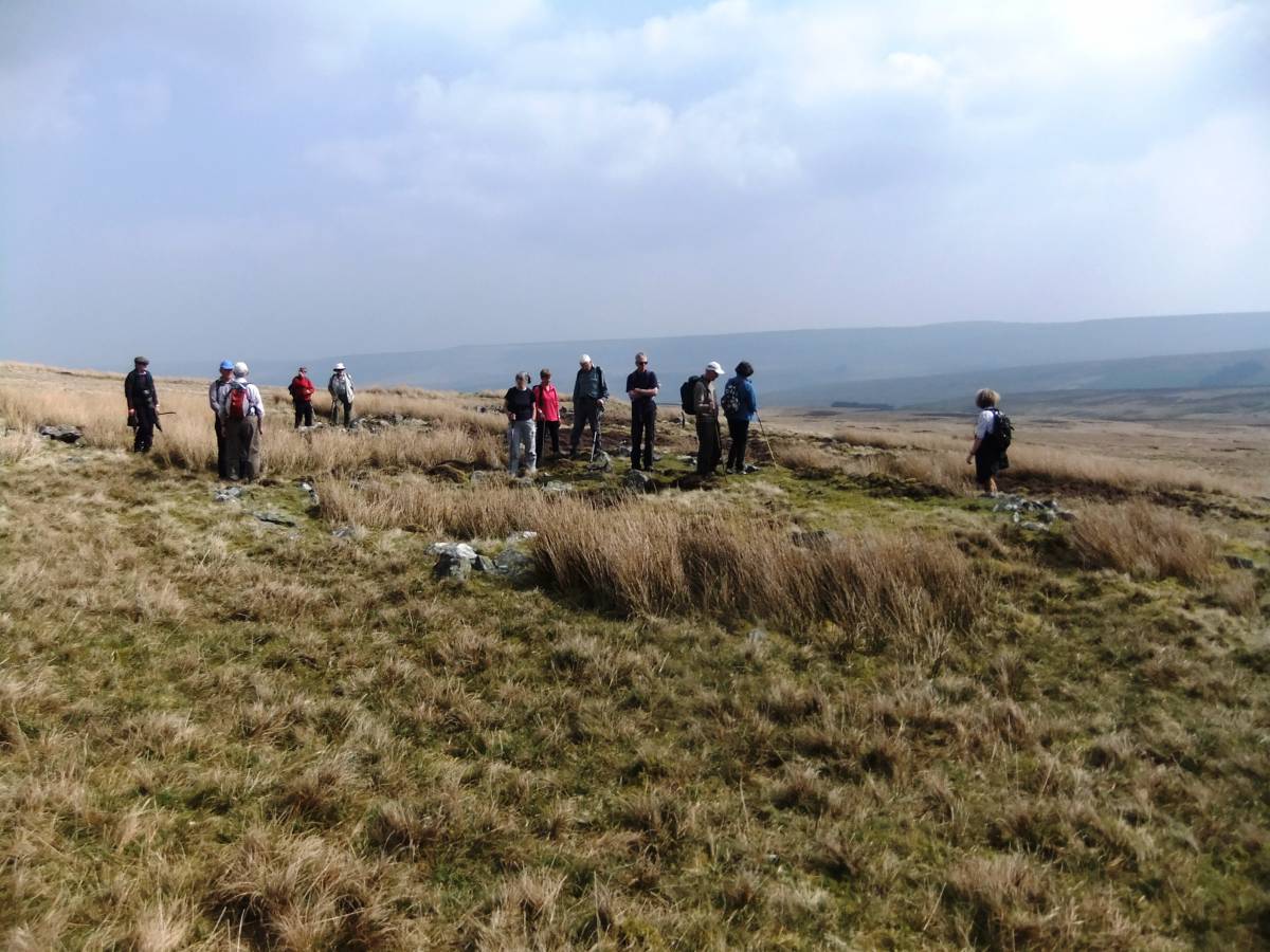
| Image 12 ID | 6212 |
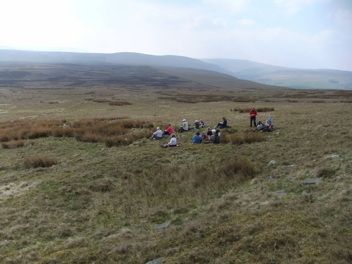
| Image 12 Description | Swaag take lunch in one of the twelve round houses located on the contouring enclosure bank overlooking the enclosures. | 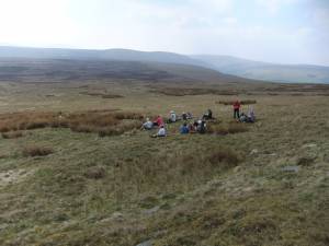 |
| Image 13 ID | 6213 |
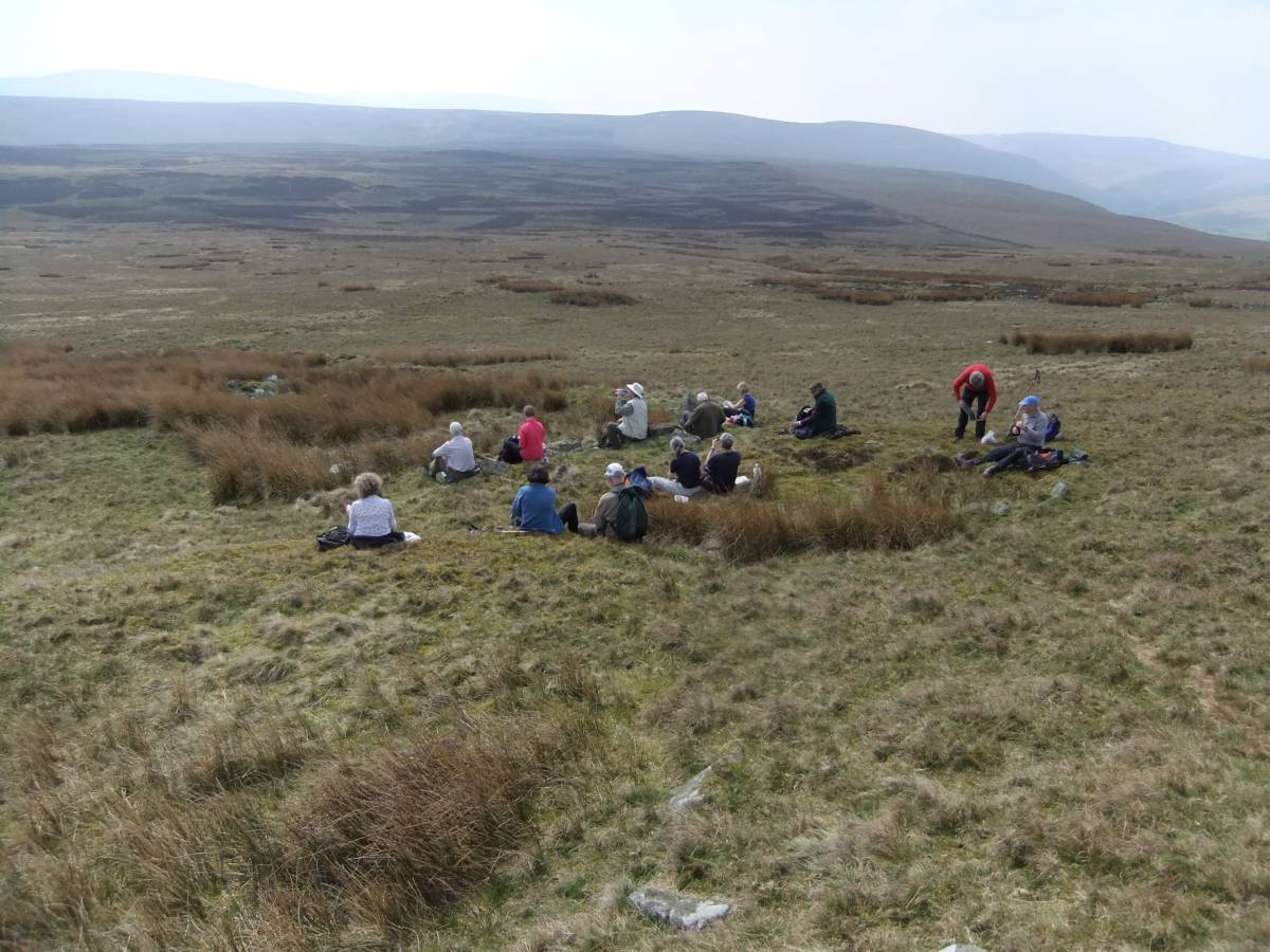
| Image 13 Description | The first luncheon party to be held at this address for at least 2800 years! | 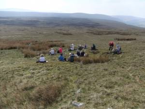 |
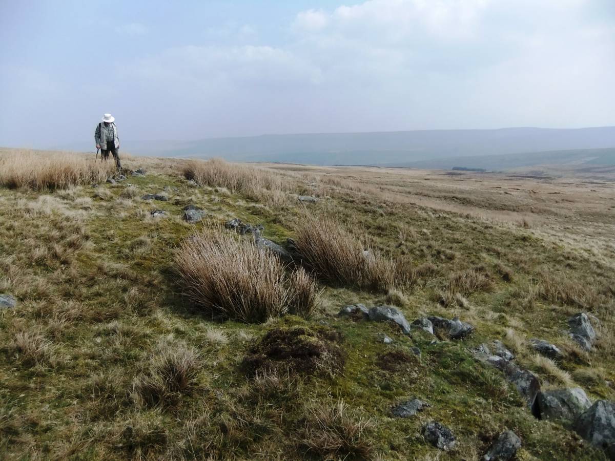
| Image 14 ID | 6214 |
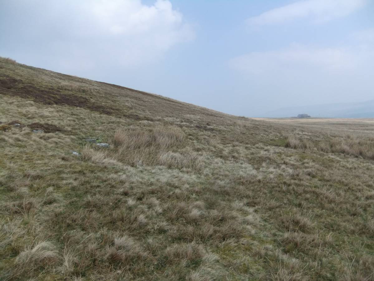
| Image 14 Description | One of the upper row of house platforms. | 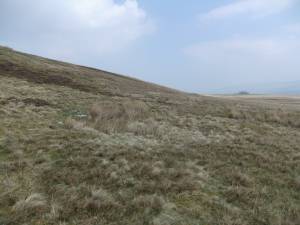 |
| Image 15 ID | 6215 |
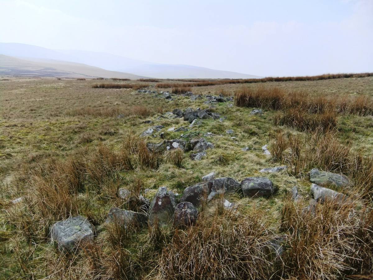
| Image 15 Description | One of the two very substantial enclosure banks which separate the three paddock like enclosures. |  |
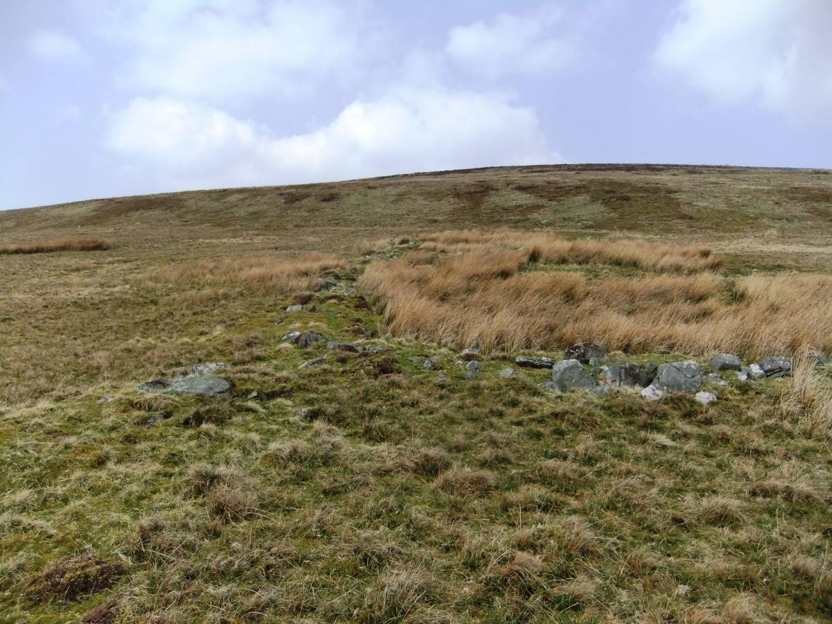
| Image 16 ID | 6216 |
| Image 16 Description | The lower enclosure bank under consideration. | 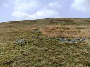 |
| Image 17 ID | 6217 |
| Image 17 Description | The lower enclosure bank under consideration. | 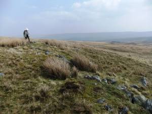 |
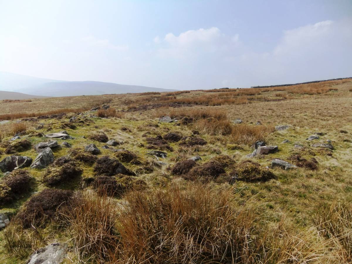
| Image 18 ID | 6218 |
| Image 18 Description | Round house at the lower edge of the enclosures. | 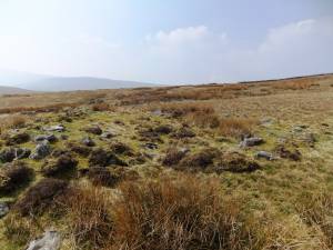 |
| Image 19 ID | 6219 |
| Image 19 Description | Round house at the lower edge of the enclosures. | 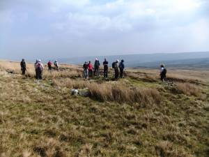 |
| Image 20 ID | 6220 |
| Image 20 Description | Round house at the lower edge of the enclosures. | 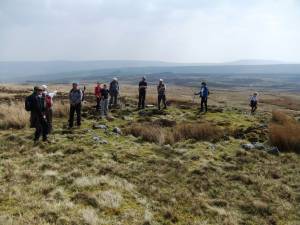 |
| Image 21 ID | 6221 |
| Image 21 Description | The substantial enclosure bank and more discussion on the election perhaps. | 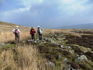 |
| Image 22 ID | 6222 |
| Image 22 Description | | 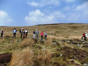 |
| Image 23 ID | 6223 |
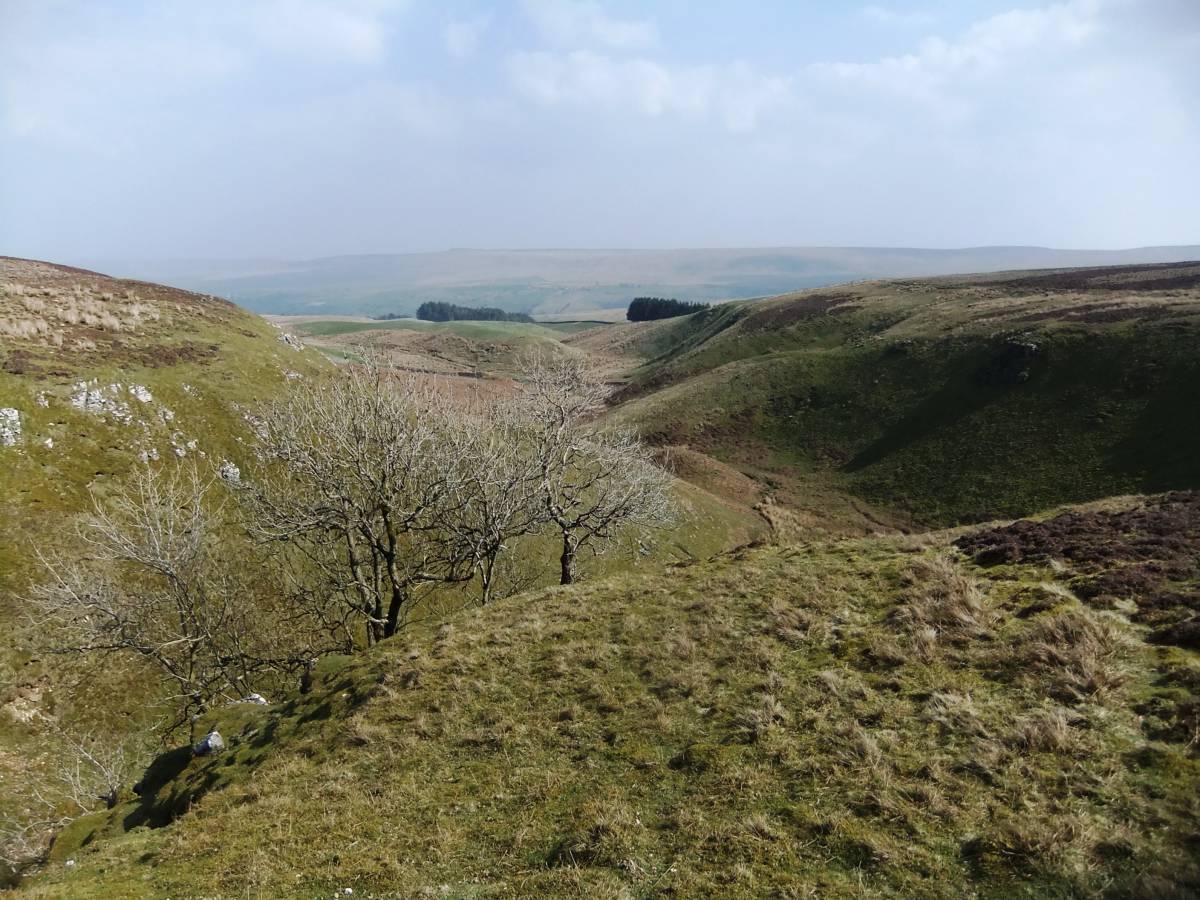
| Image 23 Description | Cumma Gill. |  |
| Image 24 ID | 6224 |
| Image 24 Description | Old multi stem ash trees on the limestone scar at Cumma Gill | 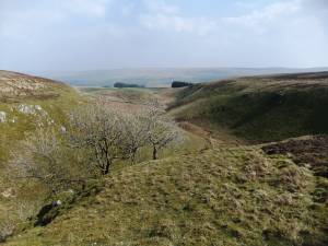 |
| Image 25 ID | 6225 |
| Image 25 Description | | 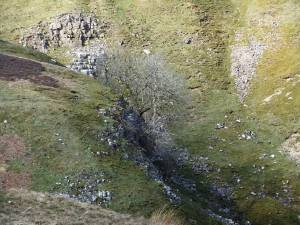 |