|
| *****SWAAG_ID***** | 884 |
| Date Entered | 27/07/2015 |
| Updated on | 28/07/2015 |
| Recorded by | Tim Laurie |
| Category | Settlement |
| Record Type | Archaeology |
| SWAAG Site Name | |
| Site Type | |
| Site Name | |
| Site Description | |
| Site Access | Public Access Land |
| Record Date | 25/07/2015 |
| Location | Orgate Scar |
| Civil Parish | Marske |
| Brit. National Grid | NZ 094 021 |
| Altitude | 300m |
| Geology | Talus scree and kame terrace below sheer cliff formed by The Main Limestone. |
| Record Name | Extended settlement remains below Orgate Scar |
| Record Description | The existence of a single round house with associated enclosures on both sides of the 18C dry stone field wall at NZ094001 (centre) had been recognised and photographed from the top edge of Orgate Scar during March 2013, see photos below and also those on SWAAG Record No 700, but no record had been uploaded to indicate the full extent of these features.
A recent visit to Orgate Scar enabled these features to be examined closely in more detail, see photo images below.
No survey or HER record has yet been made of these structures which may represent occupation at different periods.
For further images of the fine yews and relict woodland on and below Orgate Scar, see SWAAG Records Nos 195,584,700,702,706,708,709 |
| Dimensions | See photos |
| Geographical area | |
| Species | |
| Scientific Name | |
| Common / Notable Species | |
| Tree and / or Stem Girth | |
| Tree: Position / Form / Status | |
| Tree Site ID | 0 |
| Associated Site SWAAG ID | 0 |
| Additional Notes | Thes interesting settlement remains are probably not on record and a small survey is needed to adequately describe them. The visible structural remains include two possible ring cairns, one good round house within a small enclosure to the east of the recent field wall and, to the west of the wall, several very roughly constructed huts with associated enclosures at the base of the scree together with several paddock like fields with clearance cairns which take advantage of the deeper soil on the kame terrace. |
| Image 1 ID | 6336 Click image to enlarge |
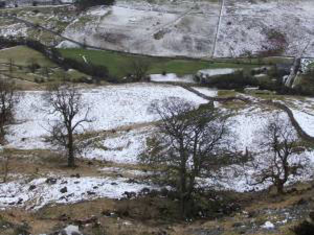
| Image 1 Description | Enclosures at base of scree below the Scar, west of the 18C field wall. | 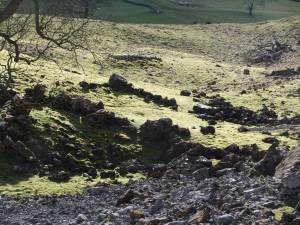 |
| Image 2 ID | 6337 Click image to enlarge |
| Image 2 Description | Detail of the enclosure from the field wall at the top of the scree. | 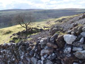 |
| Image 3 ID | 6339 Click image to enlarge |
| Image 3 Description | Isolated round house with attached enclosure in pasture east of the wall, photographed from the top edge of Orgate Scar. |  |
| Image 4 ID | 6340 Click image to enlarge |
| Image 4 Description | Closer view of this ring bank interpreted as a round huse. the stone banked enclosure is present but not visible on these photos. | 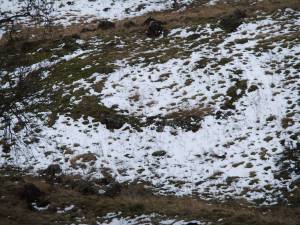 |
| Image 5 ID | 6341 Click image to enlarge |
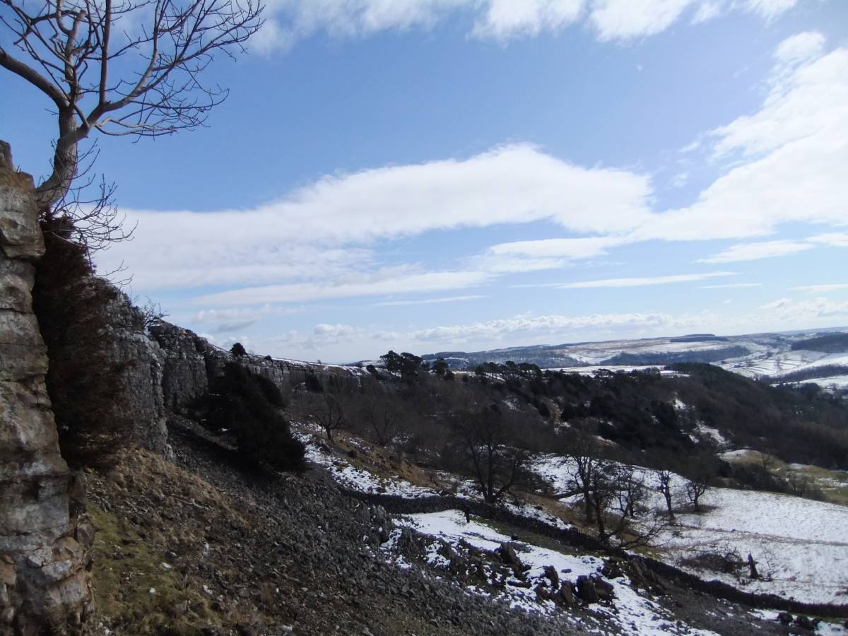
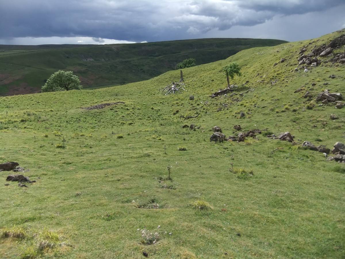
| Image 5 Description | View southward from Orgate SCar, winter. |  |
| Image 6 ID | 6342 Click image to enlarge |
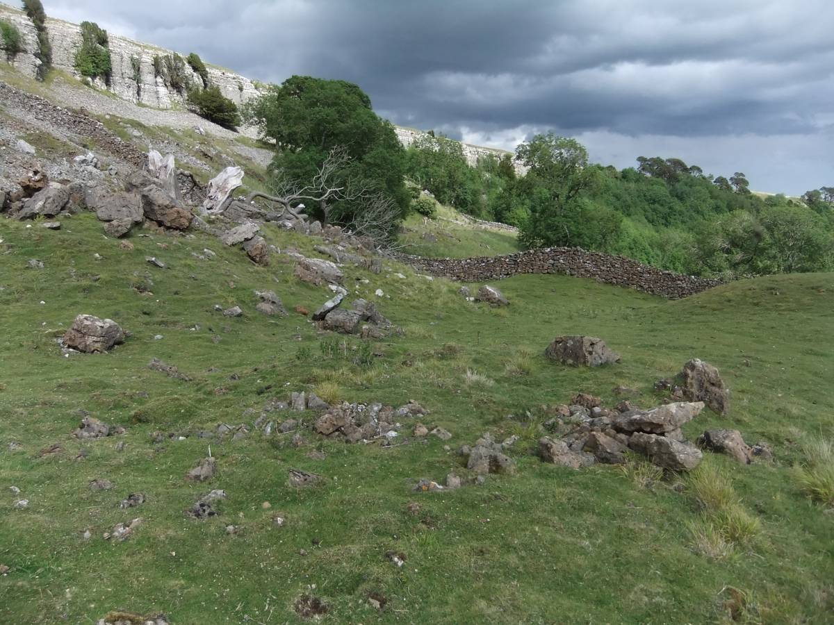
| Image 6 Description | Enclosure at base of scree as seen from the wall at the base of the cliff. |  |
| Image 7 ID | 6343 Click image to enlarge |
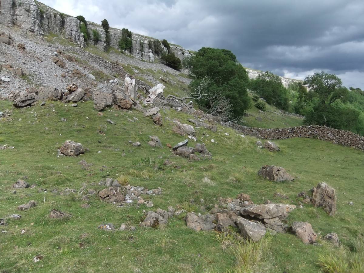
| Image 7 Description | Enclosure at base of scree | 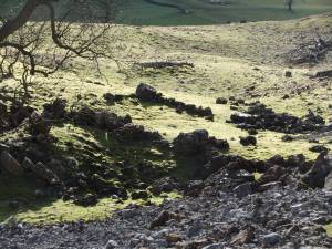 |
| Image 8 ID | 6344 Click image to enlarge |
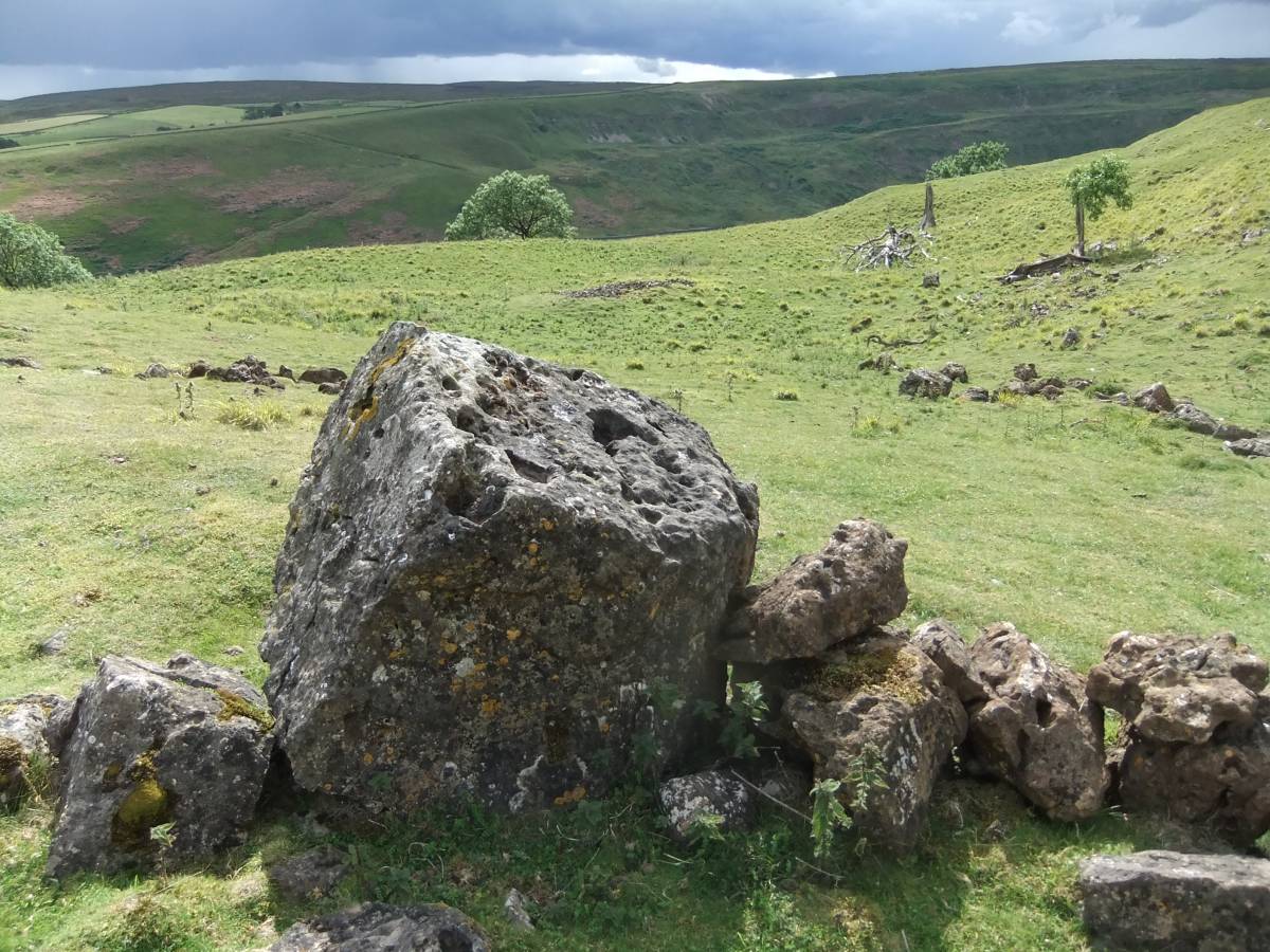
| Image 8 Description | Small ring bank, small hut but no entrance indicates that this may be a ring cairn, close to the settlement enclosure | 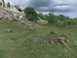 |
| Image 9 ID | 6345 Click image to enlarge |
| Image 9 Description | The same |  |
| Image 10 ID | 6346 Click image to enlarge |
| Image 10 Description | Entrance through stone banked enclosure leading to cleared paddock with several large clearance cairns | 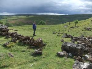 |
| Image 11 ID | 6347 |
| Image 11 Description | Detail of enclosure bank at entrance. | 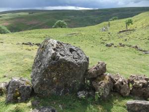 |
| Image 12 ID | 6348 |
| Image 12 Description | Irregular structure constructed at perimeter of the enclosure. | 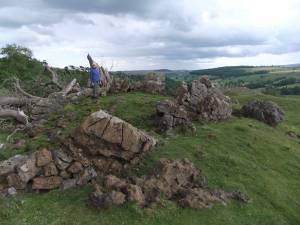 |
| Image 13 ID | 6349 |
| Image 13 Description | Irregular structure constructed at perimeter of the enclosure. | 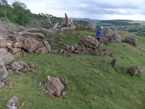 |
| Image 14 ID | 6450 |
| Image 14 Description | | 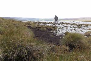 |
| Image 15 ID | 6351 |
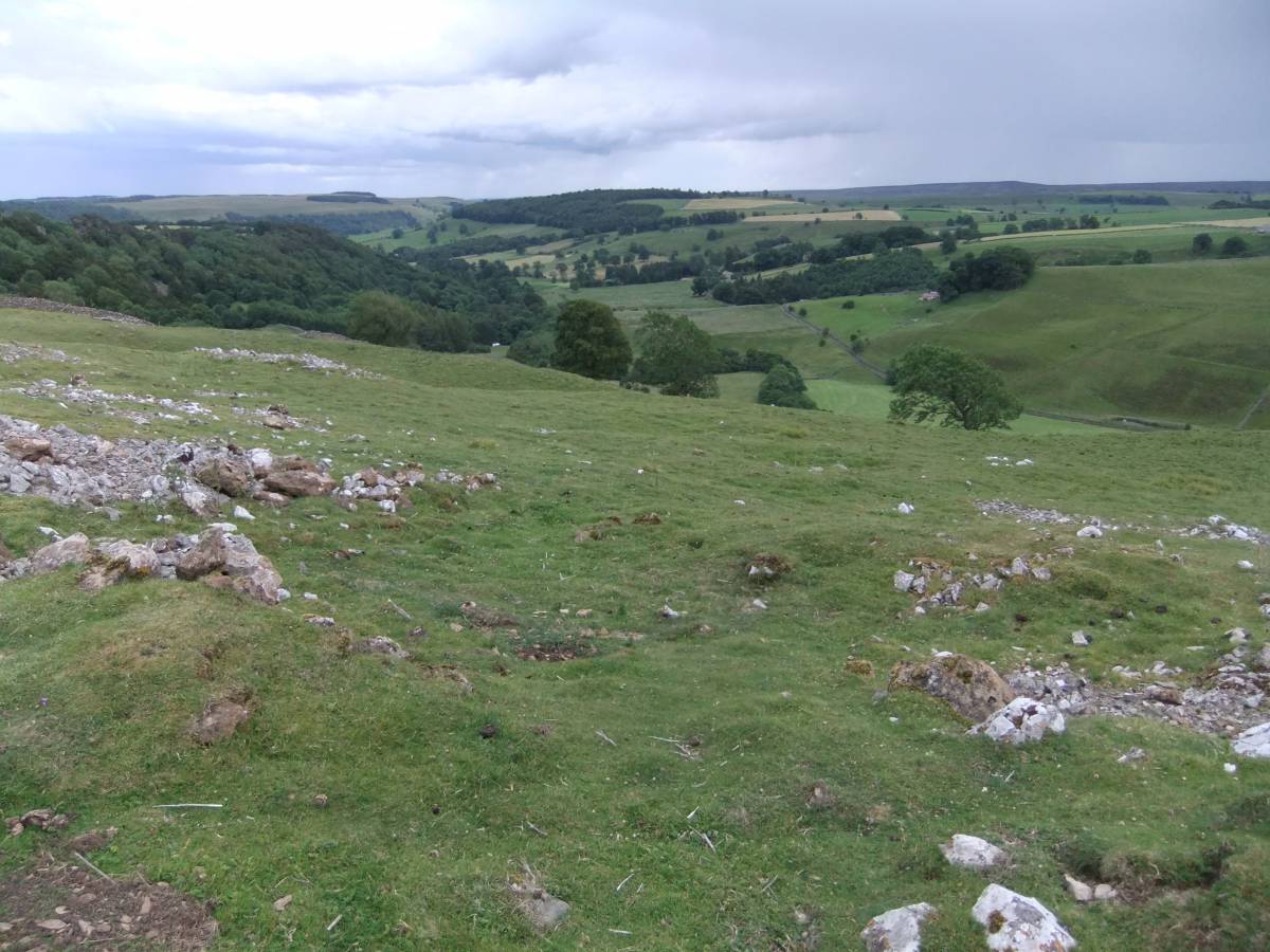
| Image 15 Description | Cleared field on kame terrace with clearance heaps. | 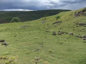 |
| Image 16 ID | 6352 |
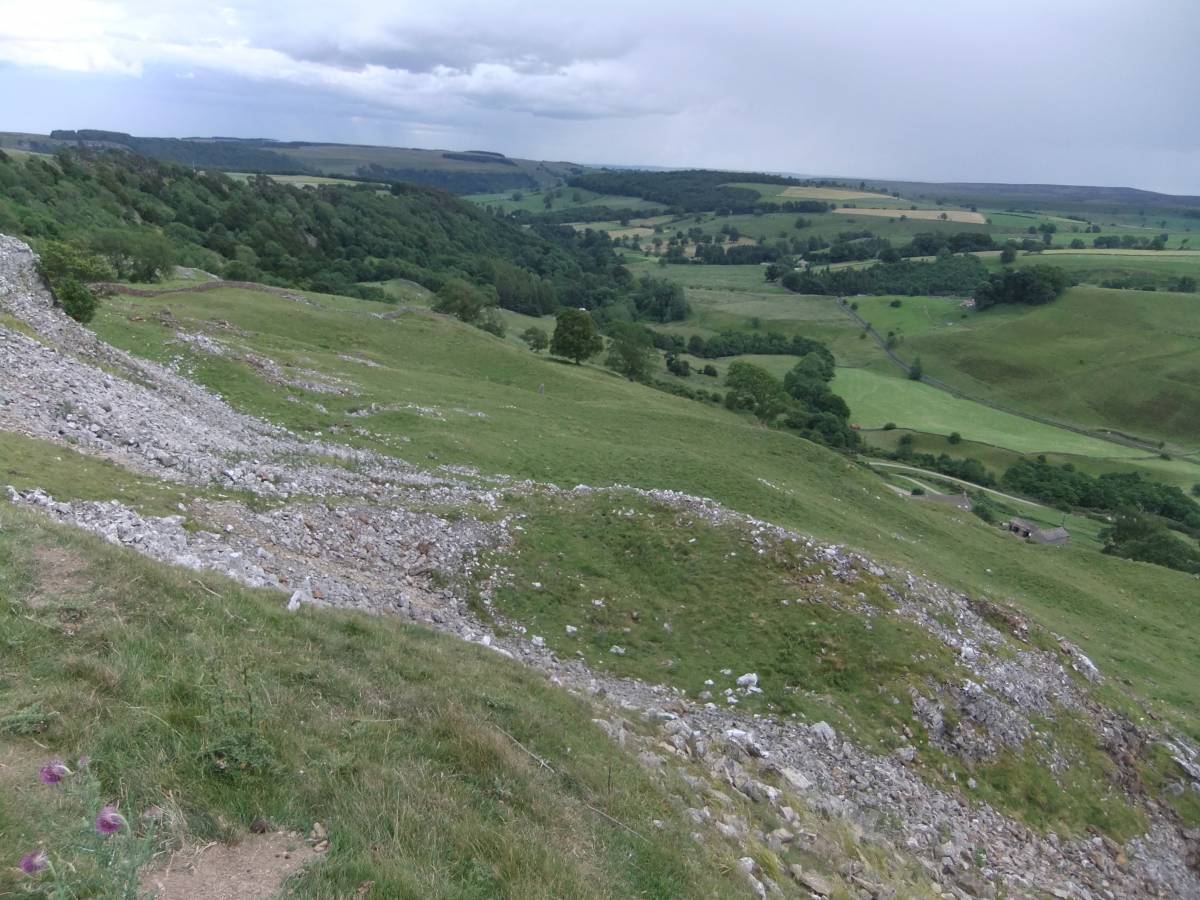
| Image 16 Description | Clearance heap. | 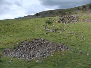 |
| Image 17 ID | 6353 |
| Image 17 Description | Isolated hut circle | 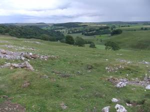 |
| Image 18 ID | 6354 |
| Image 18 Description | Possible ring cairn | 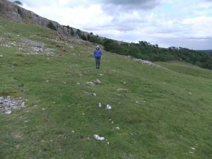 |
| Image 19 ID | 6355 |
| Image 19 Description | Round house platform with later mining delves. | 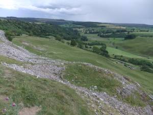 |