|
| *****SWAAG_ID***** | 886 |
| Date Entered | 02/08/2015 |
| Updated on | 02/08/2015 |
| Recorded by | Tim Laurie |
| Category | Tree Site Record |
| Record Type | Botanical HER |
| SWAAG Site Name | |
| Site Type | |
| Site Name | |
| Site Description | |
| Site Access | Public Footpath |
| Record Date | 29/07/2015 |
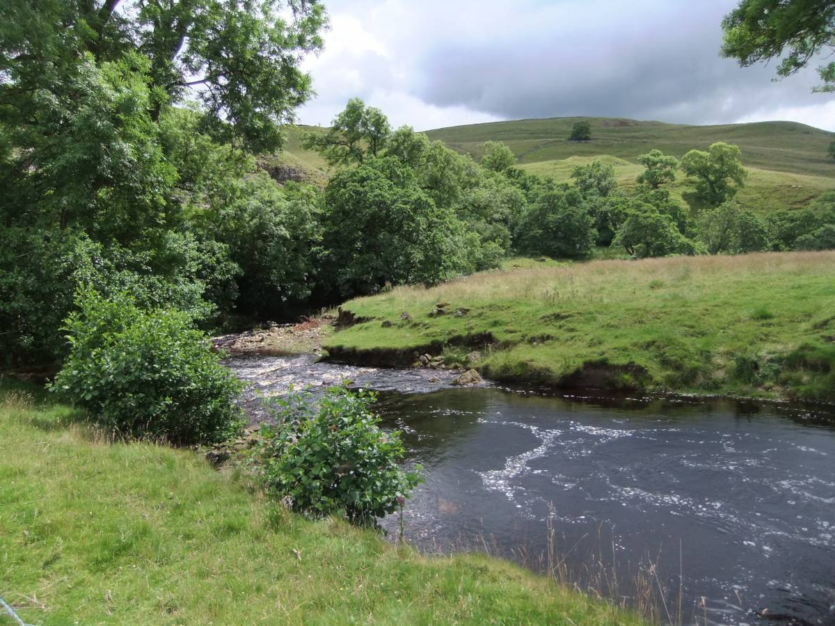
| Location | Orgate Falls and images of the alders which line the banks of Marske Beck upstream of the ancient arched bridge below Telfit Farm |
| Civil Parish | Marske |
| Brit. National Grid | |
| Altitude | |
| Geology | Waterfall formed from hard strata of The Middle Limestone series. |
| Record Name | Orgate Falls, the old arched bridge below Telfit Farm and riverside alders upstream of the Bridge |
| Record Description | The alders which line the banks of Marske Beck can be viewed at the fine waterfall below Orgate Farm and, by walking on the right of way which passes below Orgate Farm for a distance of 1km further upstream, fine riverside alders and a small alder wood can be seen upstream of the old arched packhorse bridge below Telfit Farm. |
| Dimensions | See photos |
| Geographical area | |
| Species | |
| Scientific Name | |
| Common / Notable Species | |
| Tree and / or Stem Girth | |
| Tree: Position / Form / Status | |
| Tree Site ID | 0 |
| Associated Site SWAAG ID | 0 |
| Additional Notes | Orgate Falls are well hidden by riverside alders and gorse which line the eastern bank of Marske Beck but can be visited from the access road to Orgate Farm by means of a short path on the west bank of the Beck. |
| Image 1 ID | 6366 Click image to enlarge |
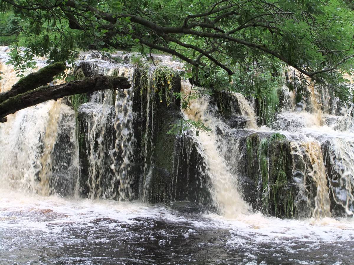
| Image 1 Description | Falls on Marske Beck after rain at Orgate. | 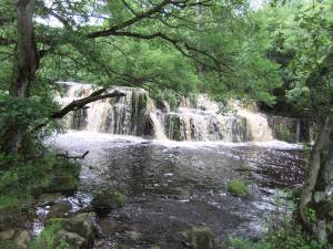 |
| Image 2 ID | 6367 Click image to enlarge |
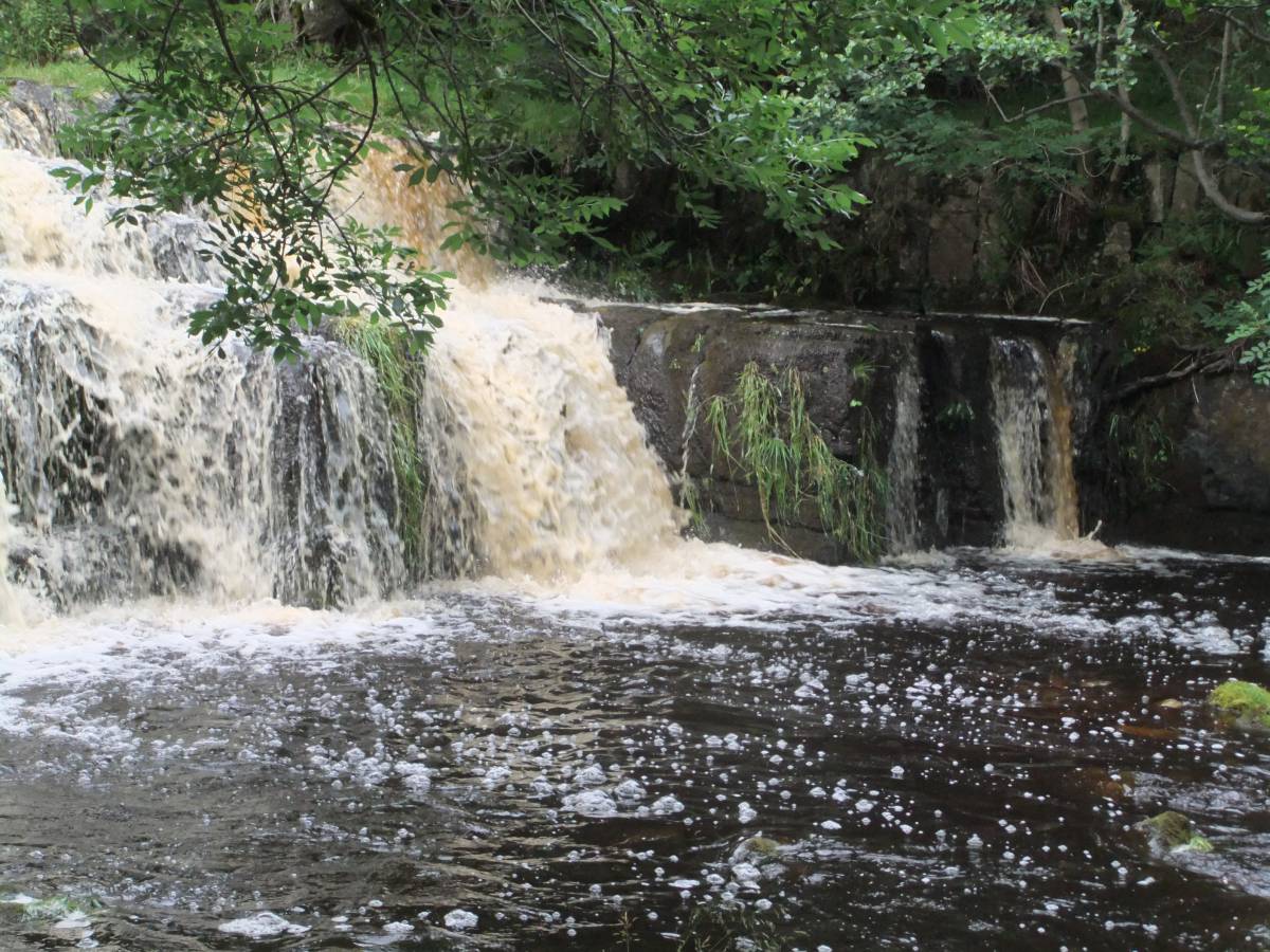
| Image 2 Description | Detail of the Falls |  |
| Image 3 ID | 6368 Click image to enlarge |
| Image 3 Description | Detail of the Falls | 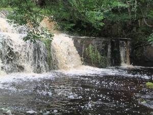 |
| Image 4 ID | 6369 Click image to enlarge |
| Image 4 Description | Detail of the Falls | 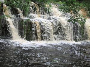 |
| Image 5 ID | 6370 Click image to enlarge |
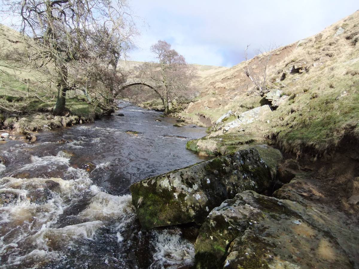
| Image 5 Description | Pack horse bridge near Telfit Farm. | 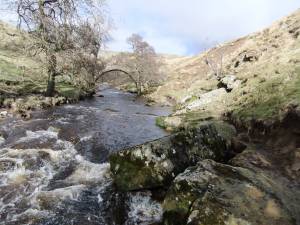 |
| Image 6 ID | 6371 Click image to enlarge |
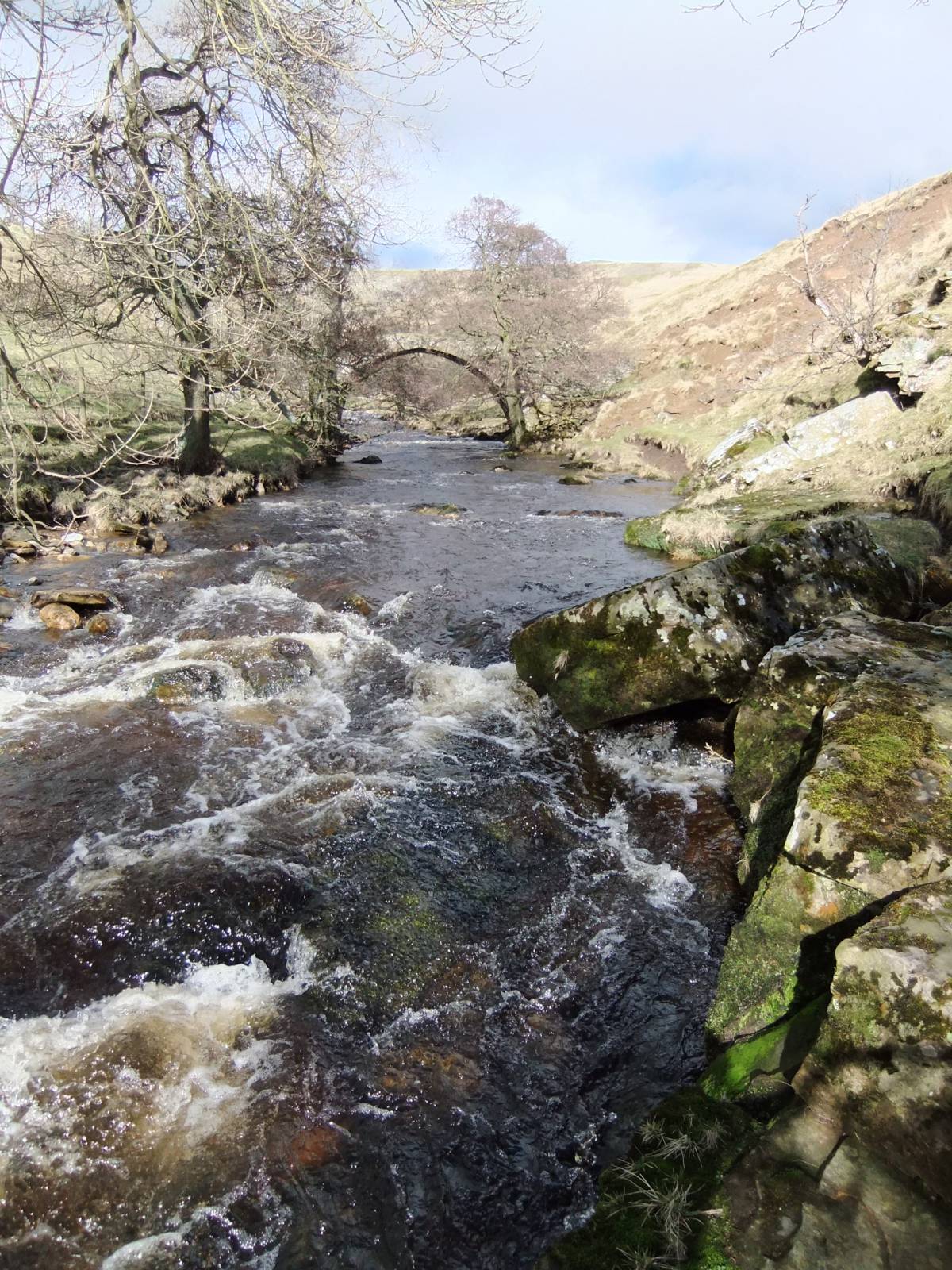
| Image 6 Description | Pack horse bridge near Telfit Farm. | 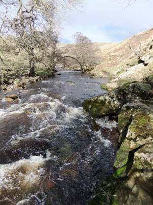 |
| Image 7 ID | 6372 Click image to enlarge |
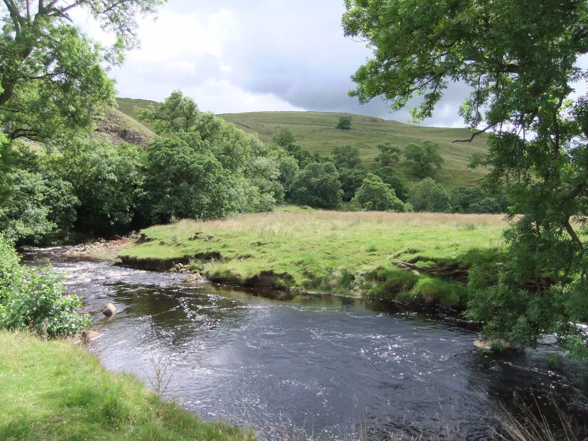
| Image 7 Description | Riverside alders and alder woodland enhance the landscape upstream from the Bridge. | 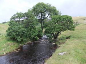 |
| Image 8 ID | 6374 Click image to enlarge |
| Image 8 Description | The alders appear timeless but are at severe risk of being cut off and washed out from the increasingly frequent high floods |  |
| Image 9 ID | 6373 Click image to enlarge |
| Image 9 Description | The root system of this fine alder has been exposed by flood water and the tree is at risk of washing out during the next flood. | 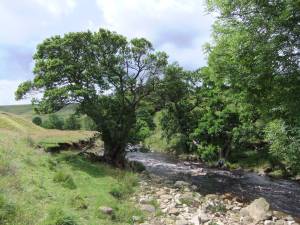 |
| Image 10 ID | 6377 Click image to enlarge |
| Image 10 Description | Fallen ash and the skeletal remnant of an ancient riverside alder . |  |
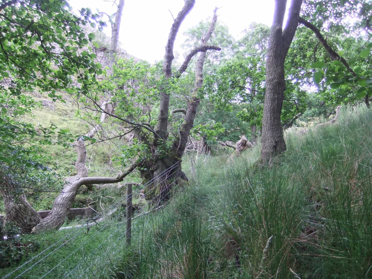
| Image 11 ID | 6376 |
| Image 11 Description | Alder woodland, with ancient coppiced alders, on the boundary with the Army Range. | 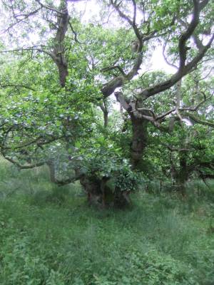 |
| Image 12 ID | 6375 |
| Image 12 Description | Remnant of a wych elm, long dead from the elm beetle fungal pathogen. Wych elms and ash, now vulnerable to die back, are two other tree species which grow on the banks of dale becks. | 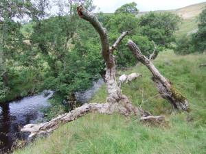 |
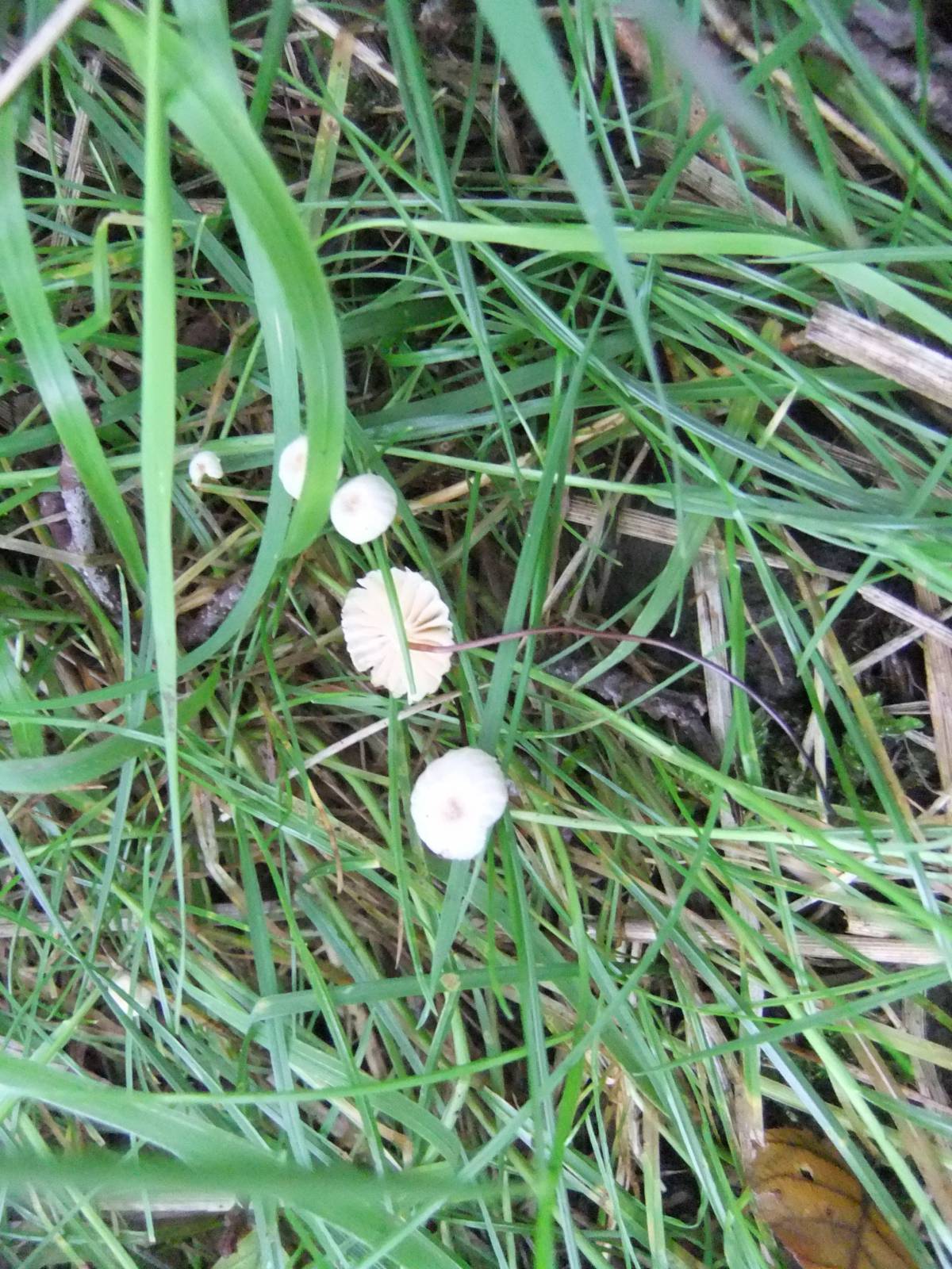
| Image 13 ID | 6379 |
| Image 13 Description | Very delicate fungus found in woodland below the alders | 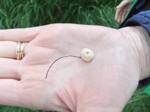 |
| Image 14 ID | 6380 |
| Image 14 Description | Can anyone identify this small fungus? | 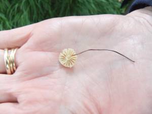 |
| Image 15 ID | 6378 |
| Image 15 Description | |  |
| Image 16 ID | 6381 |
| Image 16 Description | Hope for the future! Young shoots spring from the root system of riverside alders which have washed out. | 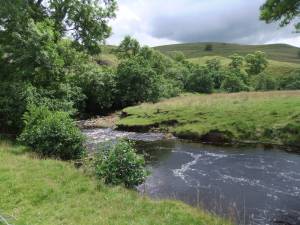 |