|
| *****SWAAG_ID***** | 824 |
| Date Entered | 30/07/2014 |
| Updated on | 31/07/2014 |
| Recorded by | Tim Laurie |
| Category | Geological Record |
| Record Type | Geological HER |
| SWAAG Site Name | |
| Site Type | |
| Site Name | |
| Site Description | |
| Site Access | Public Footpath |
| Record Date | 17/05/2014 |
| Location | Nateby CP. Ewebank Scar above Ladthwaite Beck and Birkett Hill |
| Civil Parish | Not known |
| Brit. National Grid | NY 792 068 |
| Altitude | 320m |
| Geology | Limestone strata in the vicinity of the Dent Fault with steeply dipping beds of the Great Scar Limestone forming a sheer cliff and fall on Ladthwaite Beck at Ewebank Scar and faulted strata of the Robinson Limestone well exposed in the face of the Scar on Birkett Hill. |
| Record Name | A walk from Stenkrith Bridge to see Limestone Scenery in the vicinity of the Dent Fault above Nateby. |
| Record Description | This record is to introduce a fine walk from Nateby commencing by admiring potholes in the bed of the juvenile River Eden below Stenkrith Bridge, then following the disused railway line, now a nature reserve to divert on a footpath following Ladthwaite Beck through massed blue bell woods to the impressive falls on the line of the Dent Fault at Ewebank Scar, where we enjoyed lunch at the side of the long waterfall, an interesting locality below sheer cliffs. Then, through hazel coppice with active red squirrels to Brikett Hill where strata of the Robinson Limestone are exposed in a small Scar, and where a minor Fault associated with the Dent fault is clearly visible. Returning on the old railway line to Stenkrith Bridge with distant views of the Pennine Escarpment. The spring flora was admired along the railway line . |
| Dimensions | See photographs |
| Geographical area | |
| Species | |
| Scientific Name | |
| Common / Notable Species | |
| Tree and / or Stem Girth | |
| Tree: Position / Form / Status | |
| Tree Site ID | 0 |
| Associated Site SWAAG ID | 0 |
| Additional Notes | British Geological Survey Map 1:50,000 Provisional Series Sheet 40 refers.
Bennison, G.M. and Wright,A.E. The Geological History of the British Isles, Figures 10.2 and 10.3.
ISBN0 7131 2226 9
See also: Versey, H.C.'Geology of the Appleby District.' Whitehead and Son. Appleby.
|
| Image 1 ID | 5653 Click image to enlarge |
| Image 1 Description | Birkett Hill | 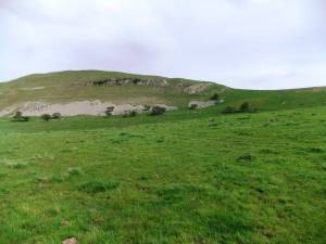 |
| Image 2 ID | 5654 Click image to enlarge |
| Image 2 Description | Steeply dipping limestone strata at Birkett Hill on minor fault associated with the Dent Fault | 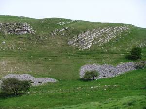 |
| Image 3 ID | 5655 Click image to enlarge |
| Image 3 Description | Potholes in the bed of the juvenile Eden below Stenkrith Bridge | 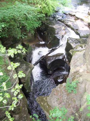 |
| Image 4 ID | 5656 Click image to enlarge |
| Image 4 Description | Potholes in the river bed below Stenkrith Bridge | 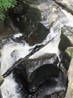 |
| Image 5 ID | 5657 Click image to enlarge |
| Image 5 Description | Red Campion planted on a retaining wall by the track leading down to the old railway. | 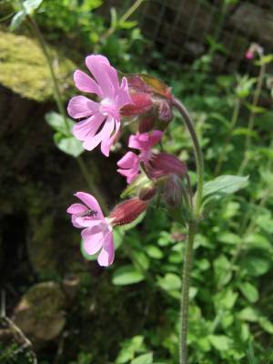 |
| Image 6 ID | 5658 Click image to enlarge |
| Image 6 Description | Cowslips on the railway bank. |  |
| Image 7 ID | 5659 Click image to enlarge |
| Image 7 Description | Bird cherry blossom on the trackside in May | 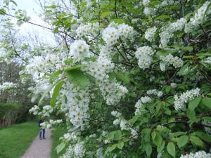 |
| Image 8 ID | 5660 Click image to enlarge |
| Image 8 Description | The path by Ladthwaite Beck to Ewebank Scar passes through old hazel coppice and massed bluebells. | 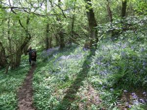 |
| Image 9 ID | 5661 Click image to enlarge |
| Image 9 Description | Ewebank Scar. The beck flows over steep dipping limestone of the Great Scar Limestone. | 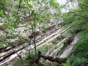 |
| Image 10 ID | 5662 Click image to enlarge |
| Image 10 Description | Botanising at the Falls. | 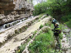 |
| Image 11 ID | 5666 |
| Image 11 Description | Botanising at the Falls. | 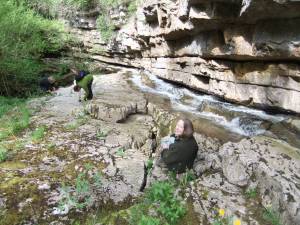 |
| Image 12 ID | 5665 |
| Image 12 Description | The falls. | 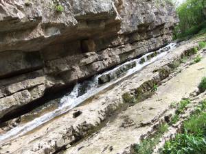 |
| Image 13 ID | 5667 |
| Image 13 Description | Lunch at the Falls. | 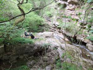 |
| Image 14 ID | 5668 |
| Image 14 Description | Lunch at the Falls below Ewescar | 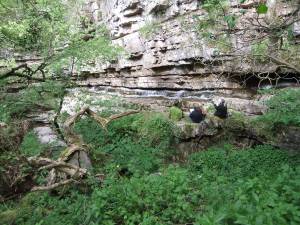 |
| Image 15 ID | 5669 |
| Image 15 Description | The way up. Careful use of finger tips is advised. | 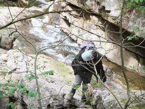 |
| Image 16 ID | 5670 |
| Image 16 Description | Nearly safe. | 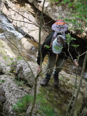 |
| Image 17 ID | 5671 |
| Image 17 Description | She has made it! | 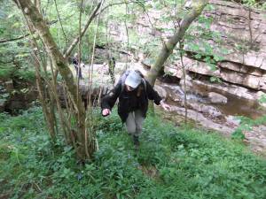 |
| Image 18 ID | 5672 |
| Image 18 Description | Old hazel coppice above the Falls, home of red squirrels. | 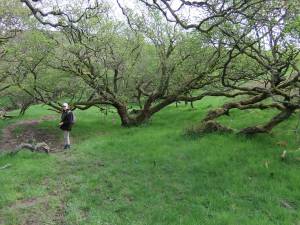 |
| Image 19 ID | 5673 |
| Image 19 Description | A glimpse of the shy red squirrel | 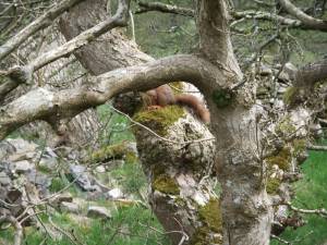 |
| Image 20 ID | 5674 |
| Image 20 Description | Birkett Hill, with horizontal limestone strata steeply dipping at fault. | 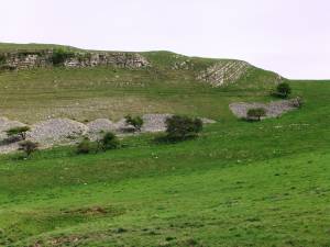 |
| Image 21 ID | 5675 |
| Image 21 Description | Detail at the fault. | 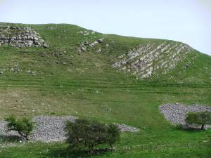 |
| Image 22 ID | 5684 |
| Image 22 Description | Fossil Carboniferous Llimestone coral (Syringopora sp.) from the scree below the Scar | 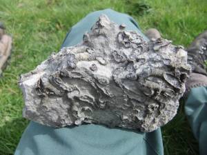 |
| Image 23 ID | 5676 |
| Image 23 Description | Ancient crab apple in hedgerow. | 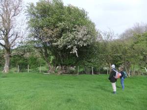 |
| Image 24 ID | 5681 |
| Image 24 Description | Glimpse of the Podgill Railway Viaduct from the track back to Stenkwith Bridge. | 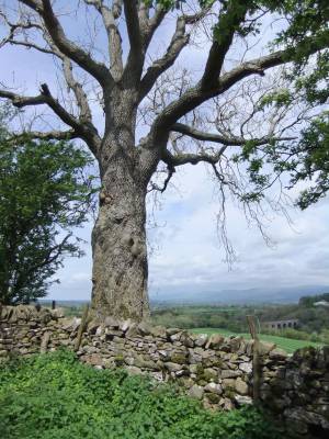 |
| Image 25 ID | 5682 |
| Image 25 Description | The Belah Viaduct as it once was. The runaway train runs over the bridge... | 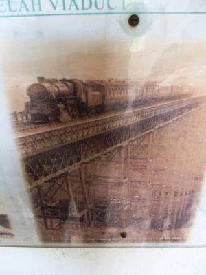 |


