|
| *****SWAAG_ID***** | 830 |
| Date Entered | 15/08/2014 |
| Updated on | 17/08/2014 |
| Recorded by | Tim Laurie |
| Category | Geological Record |
| Record Type | Geomorphology |
| SWAAG Site Name | |
| Site Type | |
| Site Name | |
| Site Description | |
| Site Access | Public Footpath |
| Record Date | 14/08/2014 |
| Location | Vale of Eden. Murton C.P. High Cup Gill, Middle Tongue and Trundale. |
| Civil Parish | Not known |
| Brit. National Grid | NY 728 238 |
| Altitude | 345 |
| Geology | Glaciated valley with terminal moraine. |
| Record Name | High Cup Gill, Middle Tongue and Trundale from Crosby Ravensworth Fell |
| Record Description | High Cup Gill, probably the most spectacular glaciated valley in the Pennines seen from the Vale of Eden. The deep glaciated U section of this Gyll and the line of the outcrop of the Whin Cill which forms the black cliffs at the head of the Gyll are well seen from the source of the river Lyvennet on Crosby Ravensworth Fell. |
| Dimensions | See photos |
| Geographical area | |
| Species | |
| Scientific Name | |
| Common / Notable Species | |
| Tree and / or Stem Girth | |
| Tree: Position / Form / Status | |
| Tree Site ID | 0 |
| Associated Site SWAAG ID | 0 |
| Additional Notes | This record supplements previous record 829 which details an early field system at Middle Tongue at the entrance to High Cup Gill. |
| Image 1 ID | 5757 Click image to enlarge |
| Image 1 Description | High Cup Gill seen from the source of the River Lyvennet. | 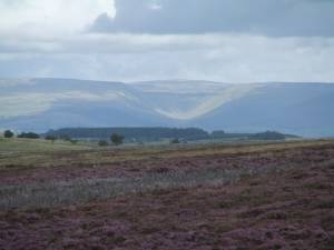 |
| Image 2 ID | 5758 Click image to enlarge |
| Image 2 Description | High Cup Gill and Trundale caught in brief sunlight. | 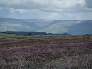 |
| Image 3 ID | 5759 Click image to enlarge |
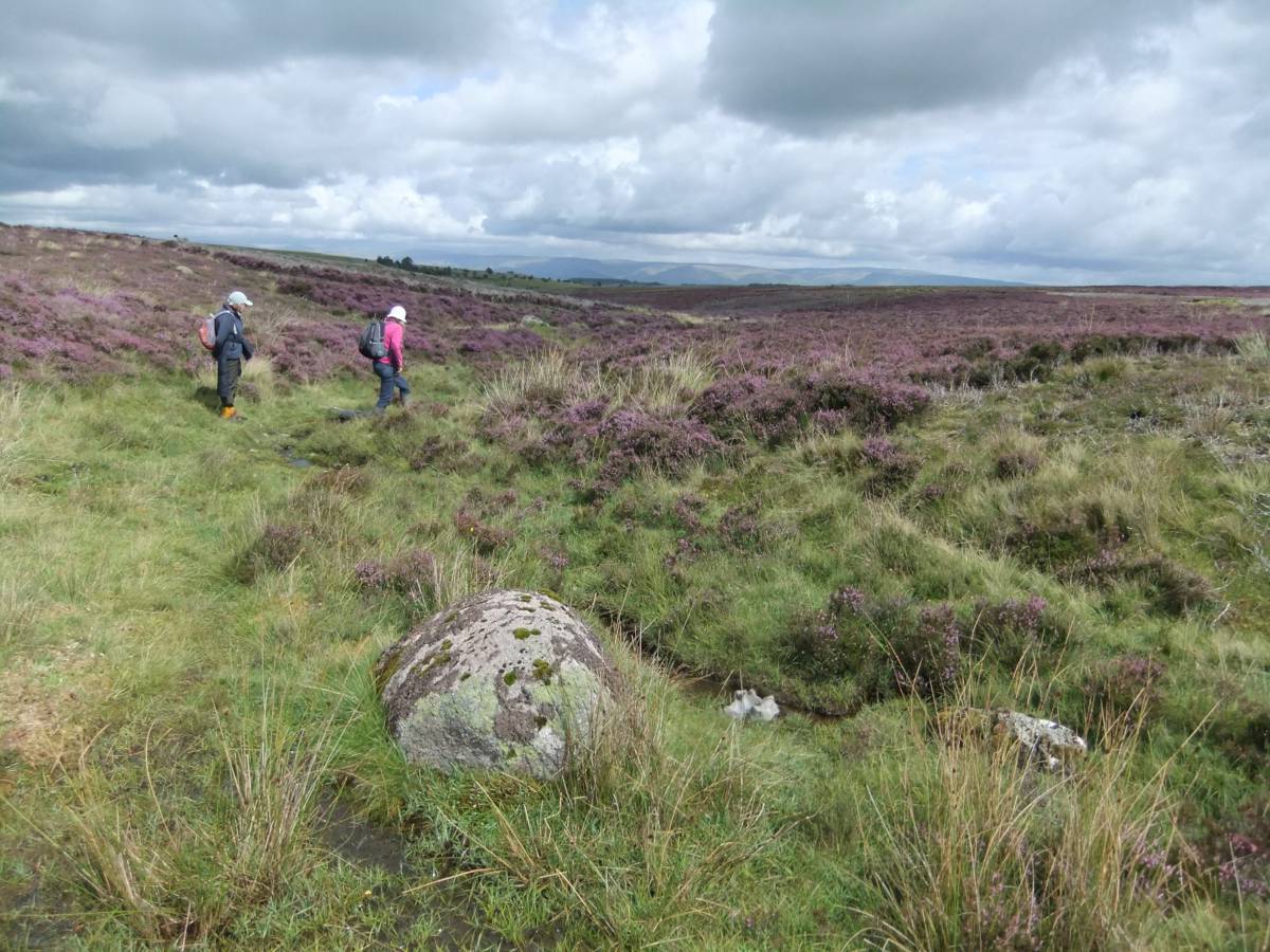
| Image 3 Description | Black Dub, the source of the Lyvennet. The Pennine Escarpment is visible on the northern horizon. | 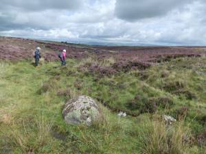 |
| Image 4 ID | 5760 Click image to enlarge |
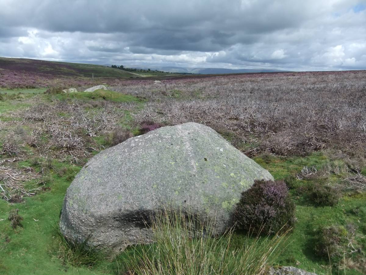
| Image 4 Description | Great boulders of Shap Granite like this example at Black Dub are widely scattered across Crosby Ravensworth Moor. | 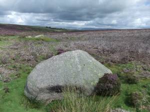 |