|
| *****SWAAG_ID***** | 828 |
| Date Entered | 09/08/2014 |
| Updated on | 10/08/2014 |
| Recorded by | Tim Laurie |
| Category | Coaxial Field Systems |
| Record Type | Archaeology |
| SWAAG Site Name | |
| Site Type | |
| Site Name | |
| Site Description | |
| Site Access | Public Access Land |
| Record Date | 04/08/2014 |
| Location | Vale of Eden. Murton C.P. High Cup Gill, Middle Tongue and Turndale. |
| Civil Parish | Not known |
| Brit. National Grid | NY 7279 2378 |
| Altitude | 345m |
| Geology | Drift covered ridge or col below Middle Tongue Scar formed from the Main Limestone, between the two spectacular glaciated valleys of High Cup Gill and Trundale. |
| Record Name | Middle Tongue. Coaxial field system with associated clearance cairns and burial cairn. |
| Record Description | This record will detail an extensive but isolated coaxial field system which covers the whole of the col between High Cup Gill and Turndale, below Middle Tongue Crag together with approximately 12 recognisable small stone clearance cairns and one larger cairn located at a view point which is most probably a burial cairn. The coaxial field boundaries and the clearance cairns on the Col have been heavily reduced by recent quarrying for stone walling but the basal stone remain and the stone banks are recognisable. However the field banks extend down slope from the Col to Turndale Beck and are clearly visible on the path which follows the Turndale Beck, see photo image nos X-Z
This coaxial field system is visible on Google Earth and a possible small enclosed round house settlement has been recognised on the col within the field system but a further visit is required to confirm this and to prepare a sketch plan of the whole complex. |
| Dimensions | See photgraphs |
| Geographical area | |
| Species | |
| Scientific Name | |
| Common / Notable Species | |
| Tree and / or Stem Girth | |
| Tree: Position / Form / Status | |
| Tree Site ID | 0 |
| Associated Site SWAAG ID | 0 |
| Additional Notes | The significance of this high level settlement and field system lies in the fact that it is isolated and probably represents a single upland Bronze Age Farmstead uncomplicated by later re-occupation. A further visit will be made to prepare a sketch survey of the archaeological remains here. |
| Image 1 ID | 5740 Click image to enlarge |
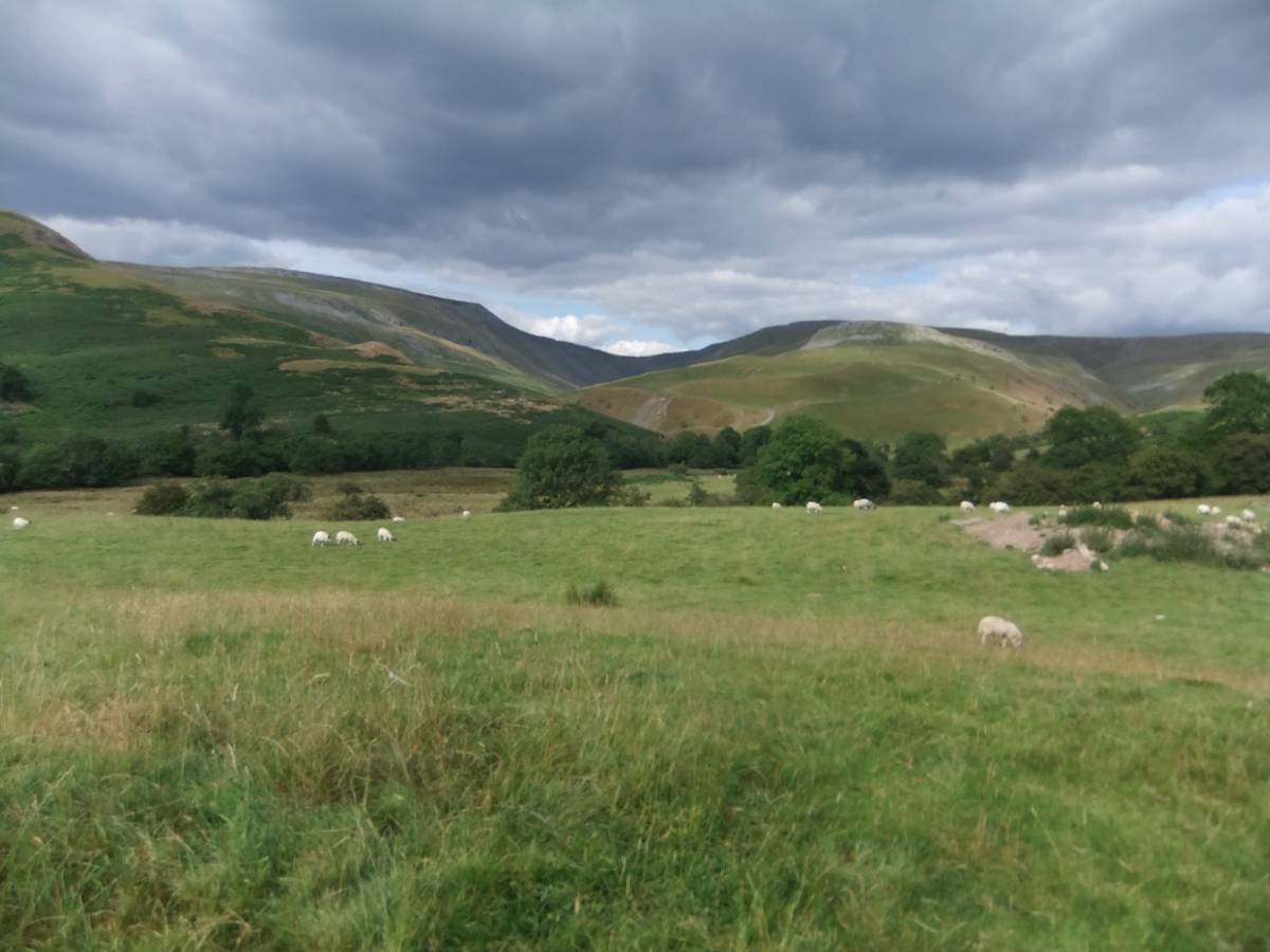
| Image 1 Description | Middle Tongue from Harbour Flatt Farm. | 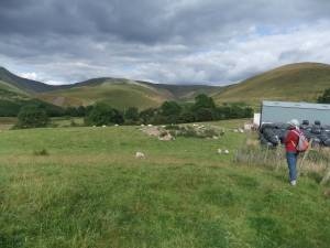 |
| Image 2 ID | 5741 Click image to enlarge |
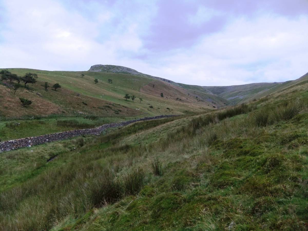
| Image 2 Description | Middle Tongue. The prehistoric settlement and coaxial field system complex is on the high ridge between High Cup Gill and Trundale. | 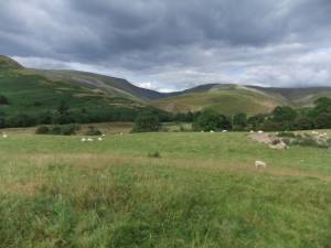 |
| Image 3 ID | 5742 Click image to enlarge |
| Image 3 Description | Coaxial field system is located on south facing slope of Trundale and on both sides the ridge below Middle Tongue Crag. | 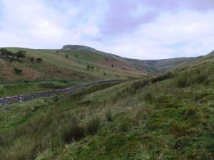 |
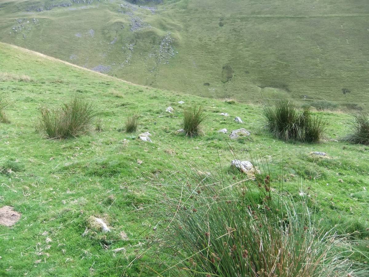
| Image 4 ID | 5743 Click image to enlarge |
| Image 4 Description | Coaxial field system above Trundale Beck. The uppermost of the parallel fields. | 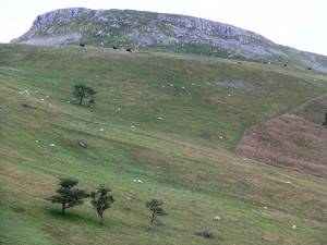 |
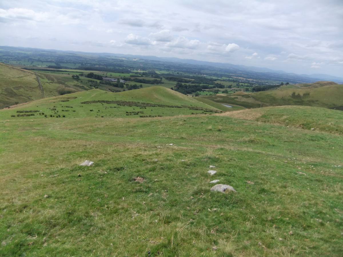
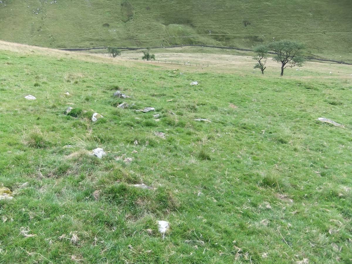
| Image 5 ID | 5744 Click image to enlarge |
| Image 5 Description | Coaxial field system above Trundale Beck, detail of the parallel fields. | 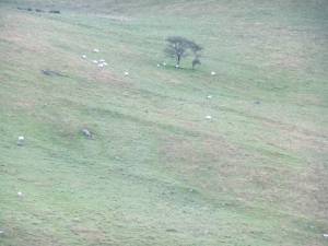 |
| Image 6 ID | 5745 Click image to enlarge |
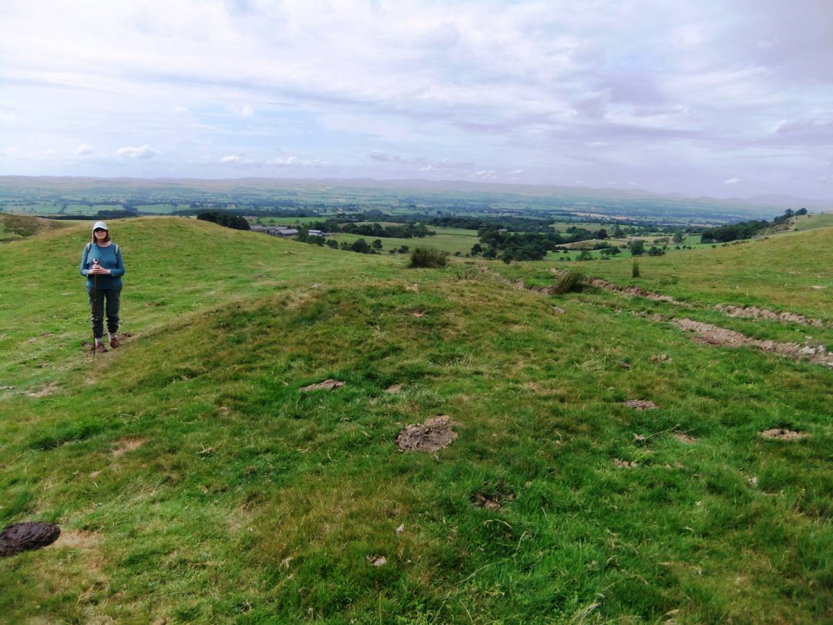
| Image 6 Description | The round cairn and view across the Eden Valley. |  |
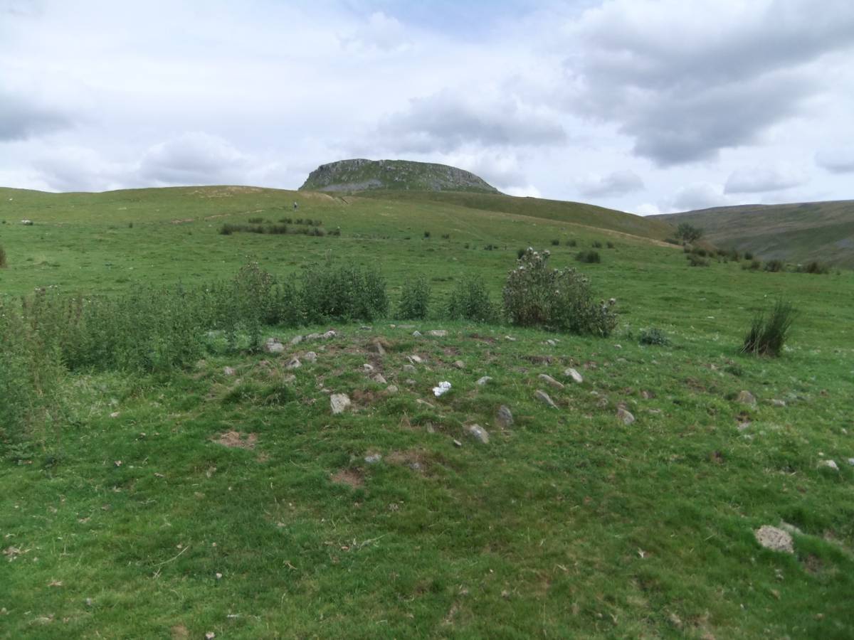
| Image 7 ID | 5746 Click image to enlarge |
| Image 7 Description | The round cairn and view up to Trundale. The cairn is close to a track and has been quarried for stone on one side but is otherwise undisturbed. |  |
| Image 8 ID | 5747 Click image to enlarge |
| Image 8 Description | View from the burial mound is uninterrupted westward to the Lake District. | 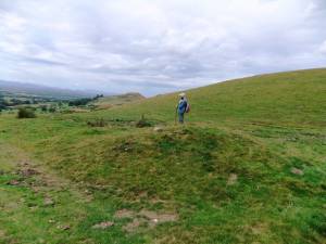 |
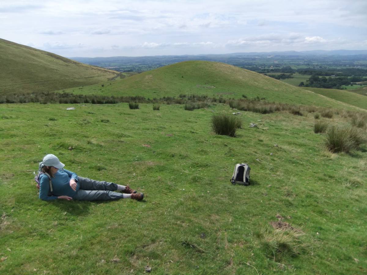
| Image 9 ID | 5748 Click image to enlarge |
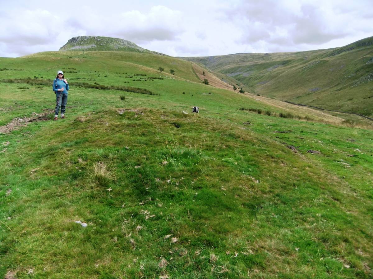
| Image 9 Description | View down to the coaxial field system on the Col between Trundale and High Cup Gill. | 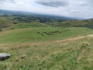 |
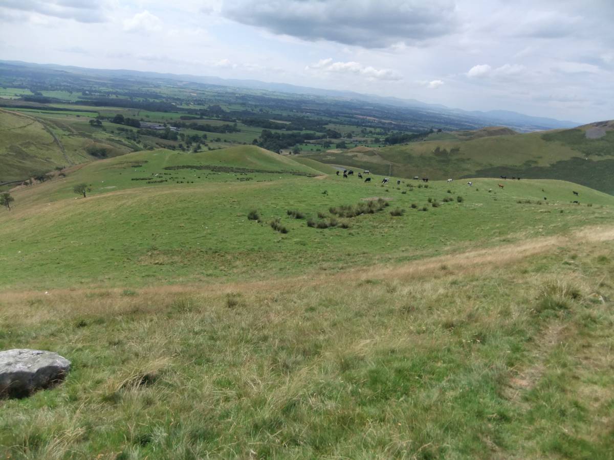
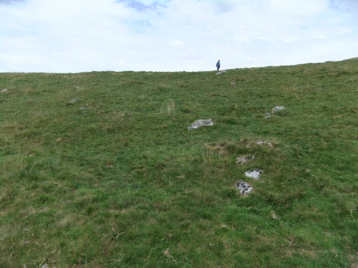
| Image 10 ID | 5749 Click image to enlarge |
| Image 10 Description | The coaxial field system extends across the ridge or col below Middle Tongue Crag. | 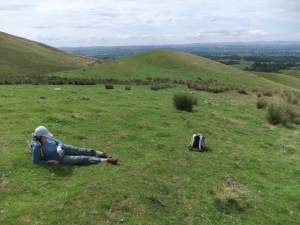 |
| Image 11 ID | 5750 |
| Image 11 Description | Small undisturbed cairn, most have been reduced by stone quarrying. | 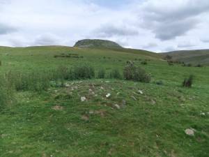 |
| Image 12 ID | 5751 |
| Image 12 Description | Small cairn heavily reduced by quarrying. | 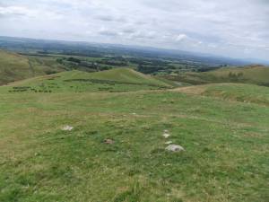 |
| Image 13 ID | 5752 |
| Image 13 Description | Coaxial boundary heavily reduced by stone quarrying | 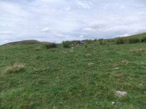 |
| Image 14 ID | 5753 |
| Image 14 Description | Coaxial boundary heavily reduced by stone quarrying | 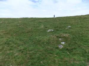 |
| Image 15 ID | 5754 |
| Image 15 Description | Coaxial boundary heavily reduced by stone quarrying | 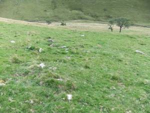 |
| Image 16 ID | 5755 |
| Image 16 Description | Coaxial boundary heavily reduced by stone quarrying |  |