|
| *****SWAAG_ID***** | 831 |
| Date Entered | 17/08/2014 |
| Updated on | 21/08/2014 |
| Recorded by | Tim Laurie |
| Category | Enclosure |
| Record Type | Archaeology |
| SWAAG Site Name | |
| Site Type | |
| Site Name | |
| Site Description | |
| Site Access | Public Access Land |
| Record Date | 03/08/2014 |
| Location | Vale of Eden. Murton CP Pennine Escarpment. Trundale Gill North Side |
| Civil Parish | Not known |
| Brit. National Grid | NY 7394 2383 |
| Altitude | 475m |
| Geology | Namurian strata above the Main Limestone close to the Murton Pike Thrust Zone on the Pennine Fault |
| Record Name | An extensive stone banked Enclosure Complex above Trundale Gill |
| Record Description | This remarkable complex of four conjoined stone dump embanked conjoined curvilinear or sub rectangular enclosures is located at 475m elevation on a wide moorland terrace high above the south eastern side of Trundale Gill. The enclosures are approximately 400m*300m overall and are in part obscured by vegetation so that it proved impossible on this visit to photograph the whole complex. The details shown here are of sections of the perimeters of just two of the more prominent enclosures, noted here as enclosures 1 and 2. However the whole enclosure complex can be seen to great advantage on Google Earth, see SWAAG Record No 832.
Most of the enclosure banks are very prominent being substantial banks of loose rocks some 3m wide Several sections of perimeters of the enclosures which are obscured by moorland vegetation are visible on Google Earth, see Google Earth Image, photo No 1.
Structures which could be designated as buildings, ie huts, are of both circular and sub rectangular but rudimentary in form and most are all located on the perimeters of the enclosures.
Some recent shelters have been constructed on these banks. There is some evidence for multi-phasing and re-forming the enclosures which may indicate a complex and lengthy chronology for this site.
|
| Dimensions | 400m*300m estimated |
| Geographical area | |
| Species | |
| Scientific Name | |
| Common / Notable Species | |
| Tree and / or Stem Girth | |
| Tree: Position / Form / Status | |
| Tree Site ID | 0 |
| Associated Site SWAAG ID | 0 |
| Additional Notes | So far as I am aware, these enclosures are undated and two alternative suggestions on their purpose and dating come to mind:
First, and preferred option is that these enclosures are the aggregation sites used by post medieval cattle drovers on their journey southward from Galloway. These Scots Herdsmen being tough would sleep wrapped in their plaids with their animals in the open since the area is and was then treeless no timber being available to construct even rudimentary shelters. The presence of a Galloway Stone within the boundary of Crosby Ravensworth some 10 miles to the south may reinforce this interpretation. These enclosures are at a point convenient to pause before descending from Murton Pike to Murton and so to the Vale of Eden.
It is not easy to accept these enclosures as being seasonal shielings to give access to good high level grazing since being on gritstone, the soil is very acidic and the grazing very bad.
This alternative use for the enclosures that these enclosures are very early-possible prehistoric shieling type stock enclosures is not favoured. |
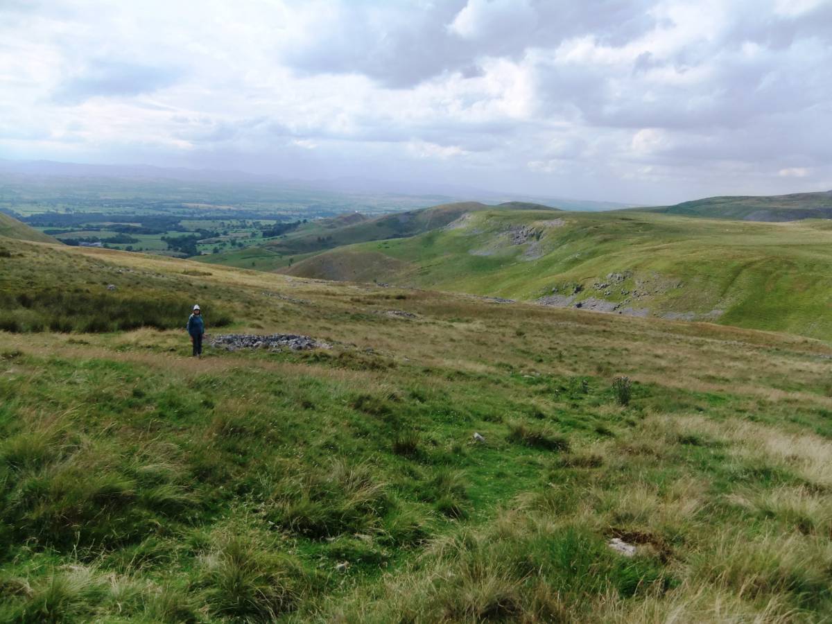
| Image 1 ID | 5761 Click image to enlarge |
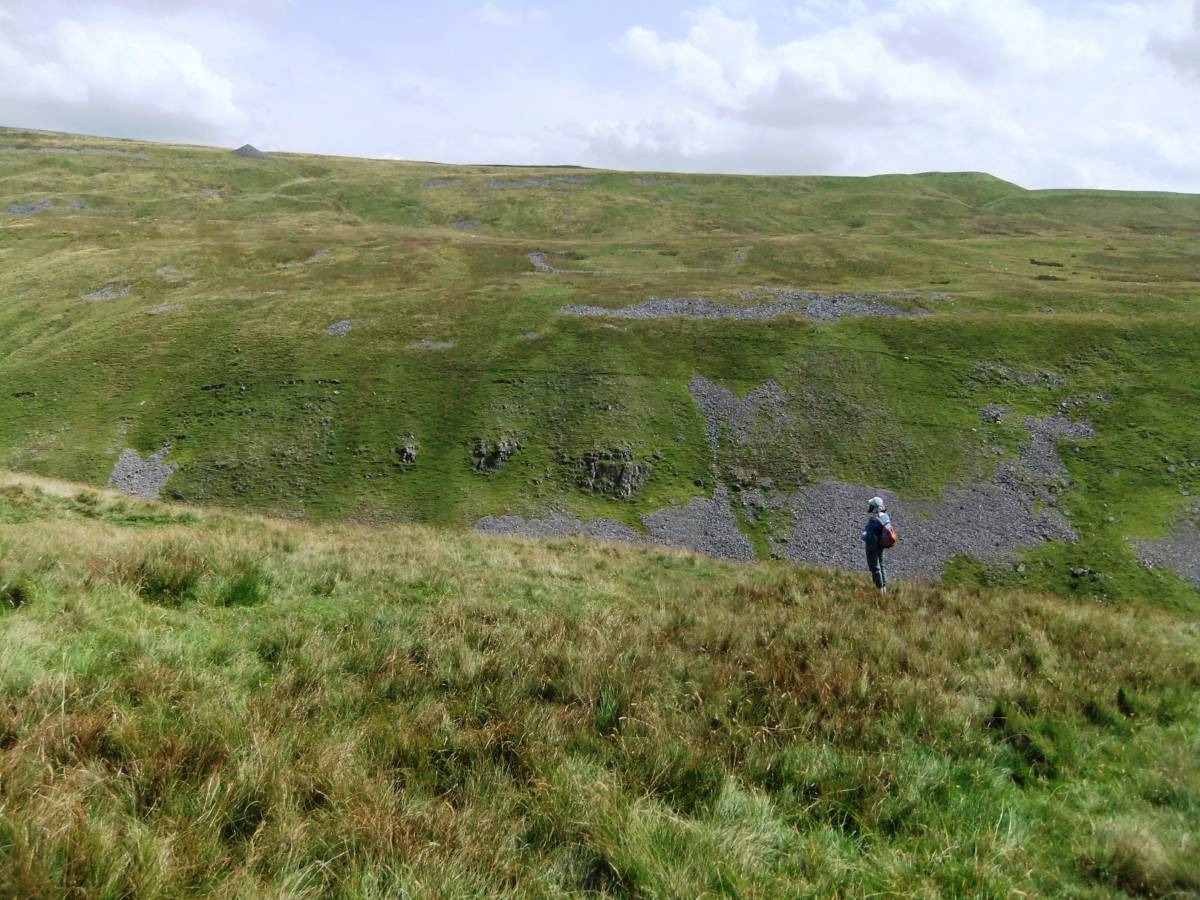
| Image 1 Description | The enclosures extend across the whole of the wide terrace on the opposite ,southern side of Trundale Gill. |  |
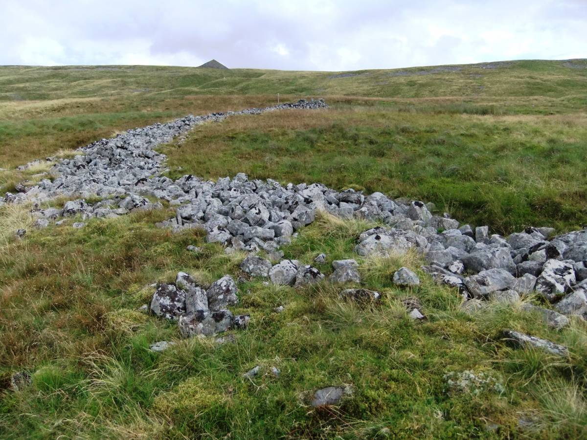
| Image 2 ID | 5762 Click image to enlarge |
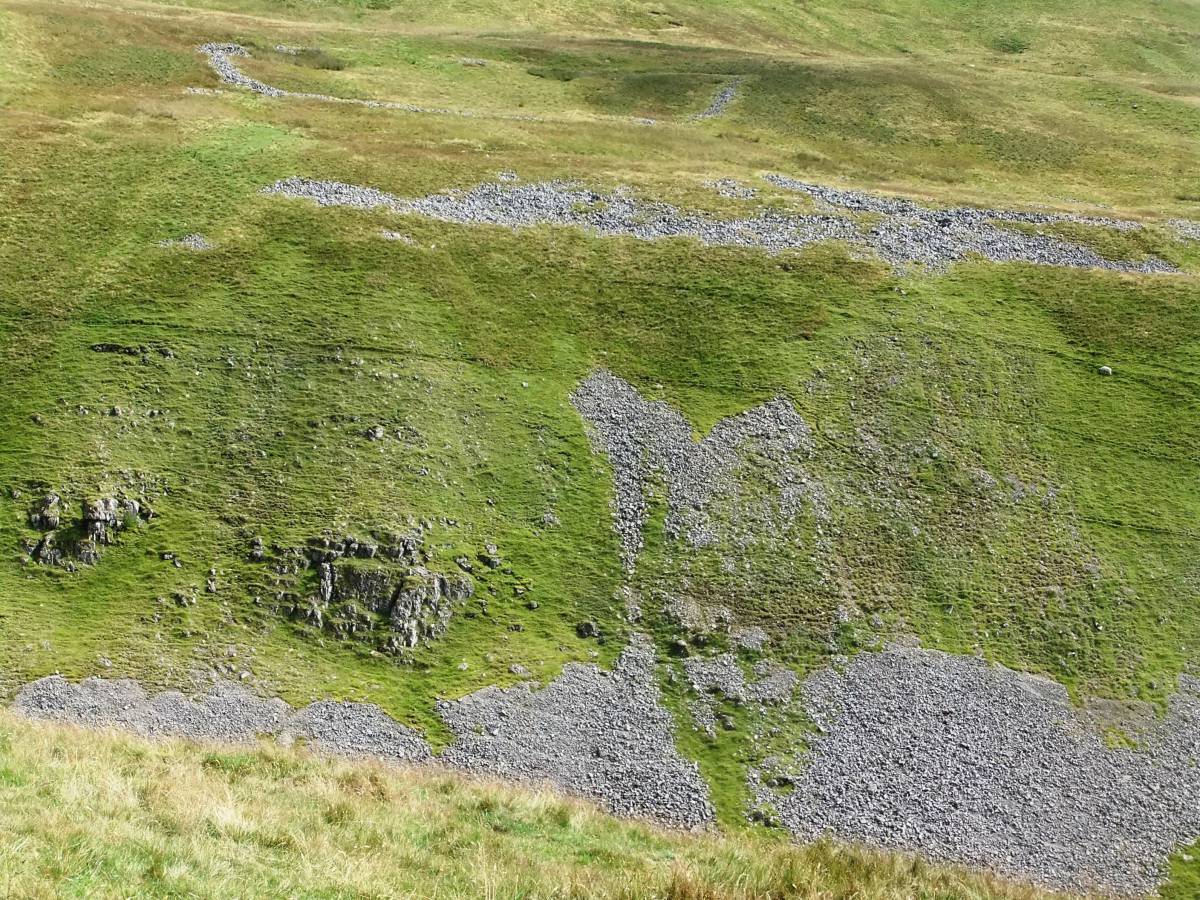
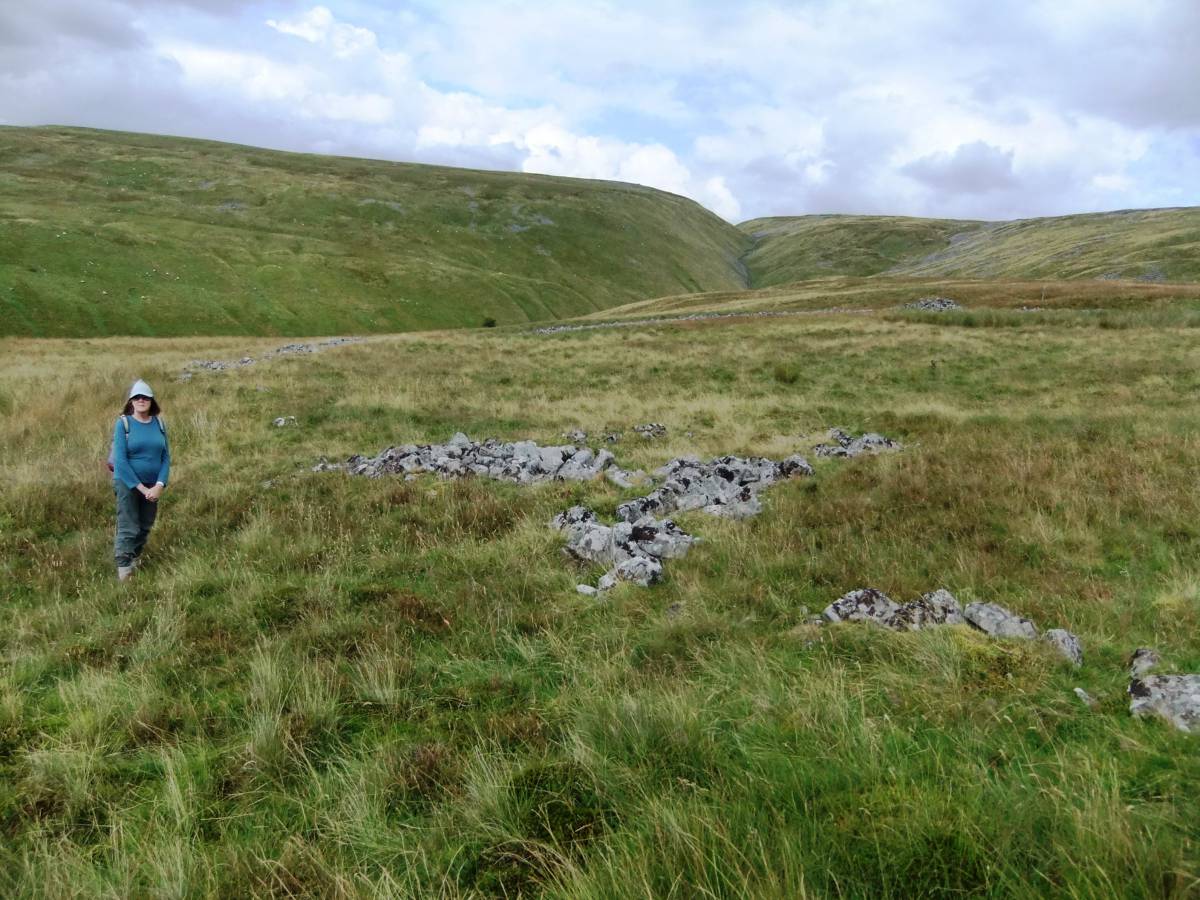
| Image 2 Description | The substantial banks of Enclosure 1 are visible from the opposite side of Trundale Gill. | 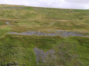 |
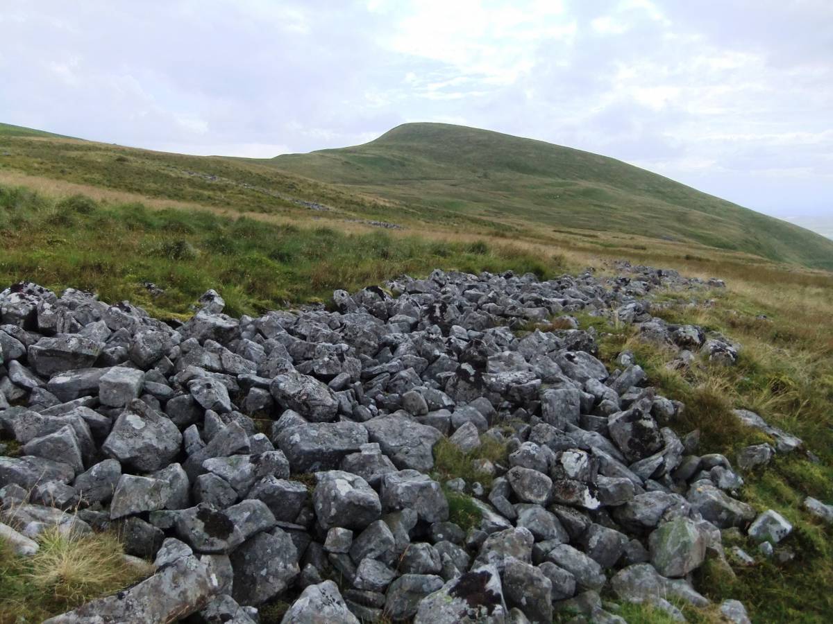
| Image 3 ID | 5763 Click image to enlarge |
| Image 3 Description | The enclosure extends to the edge of the terrace where much natural scree is also present. | 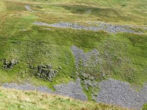 |
| Image 4 ID | 5764 Click image to enlarge |
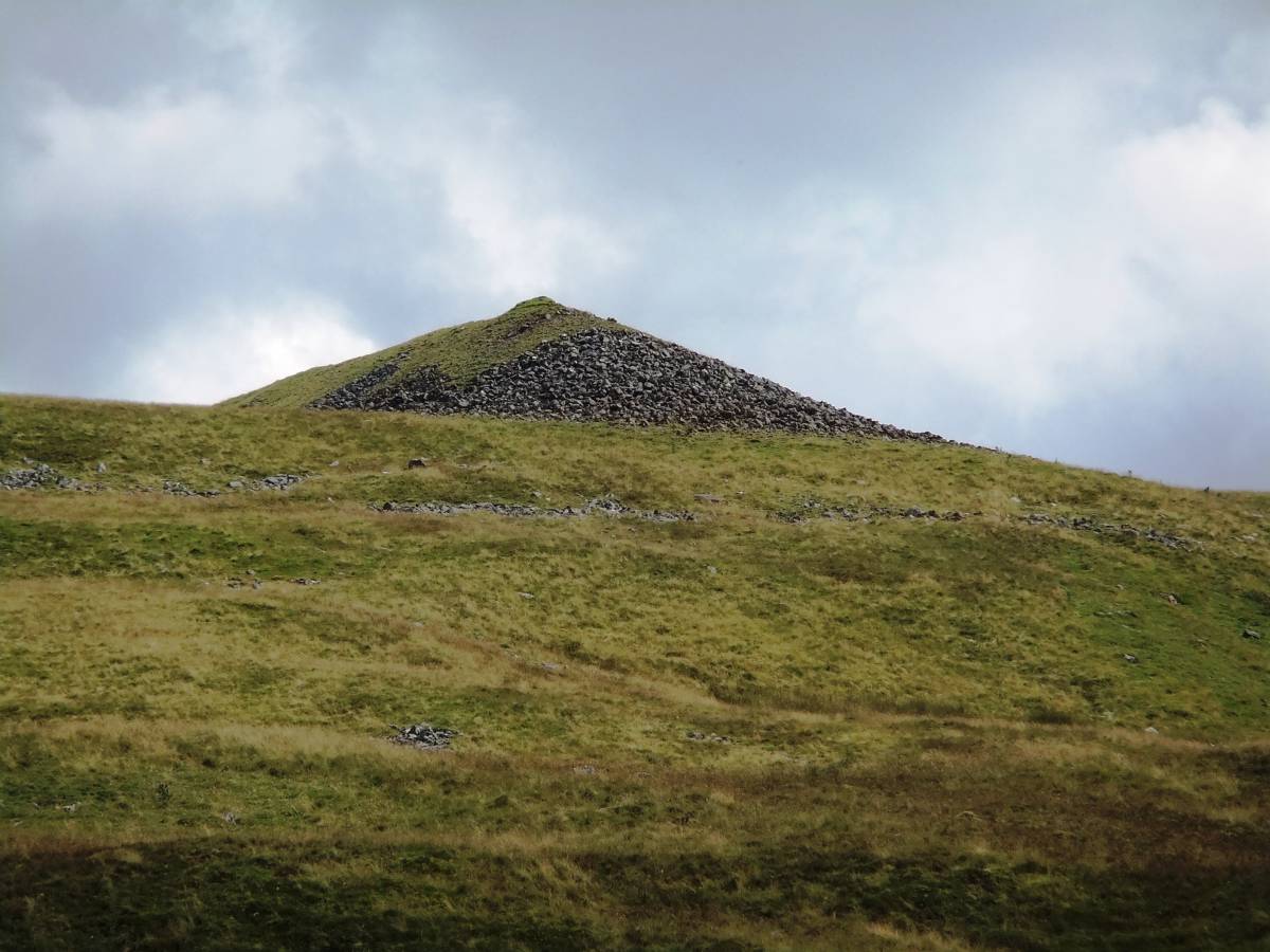
| Image 4 Description | The triangular spoil heap marks the presence of a lead mine high above the enclosures. | 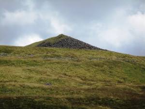 |
| Image 5 ID | 5765 Click image to enlarge |
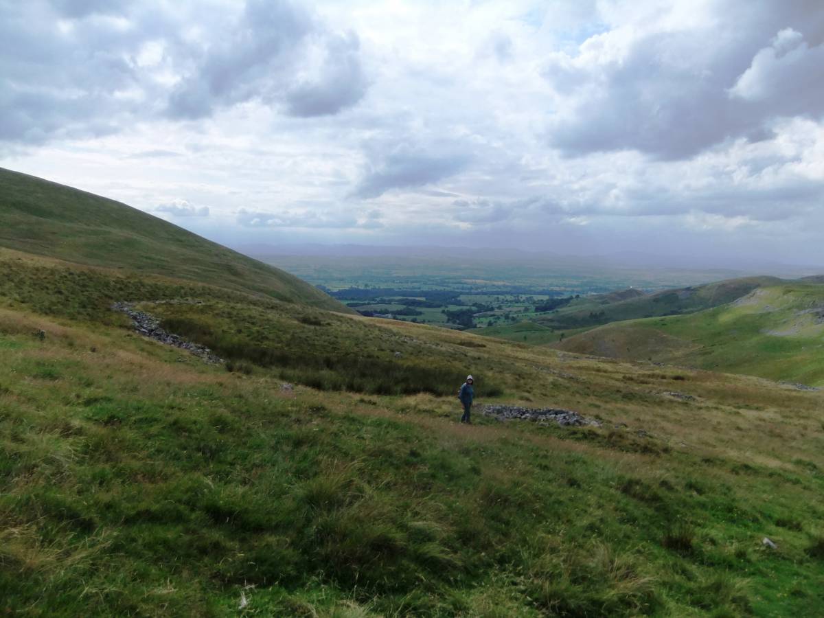
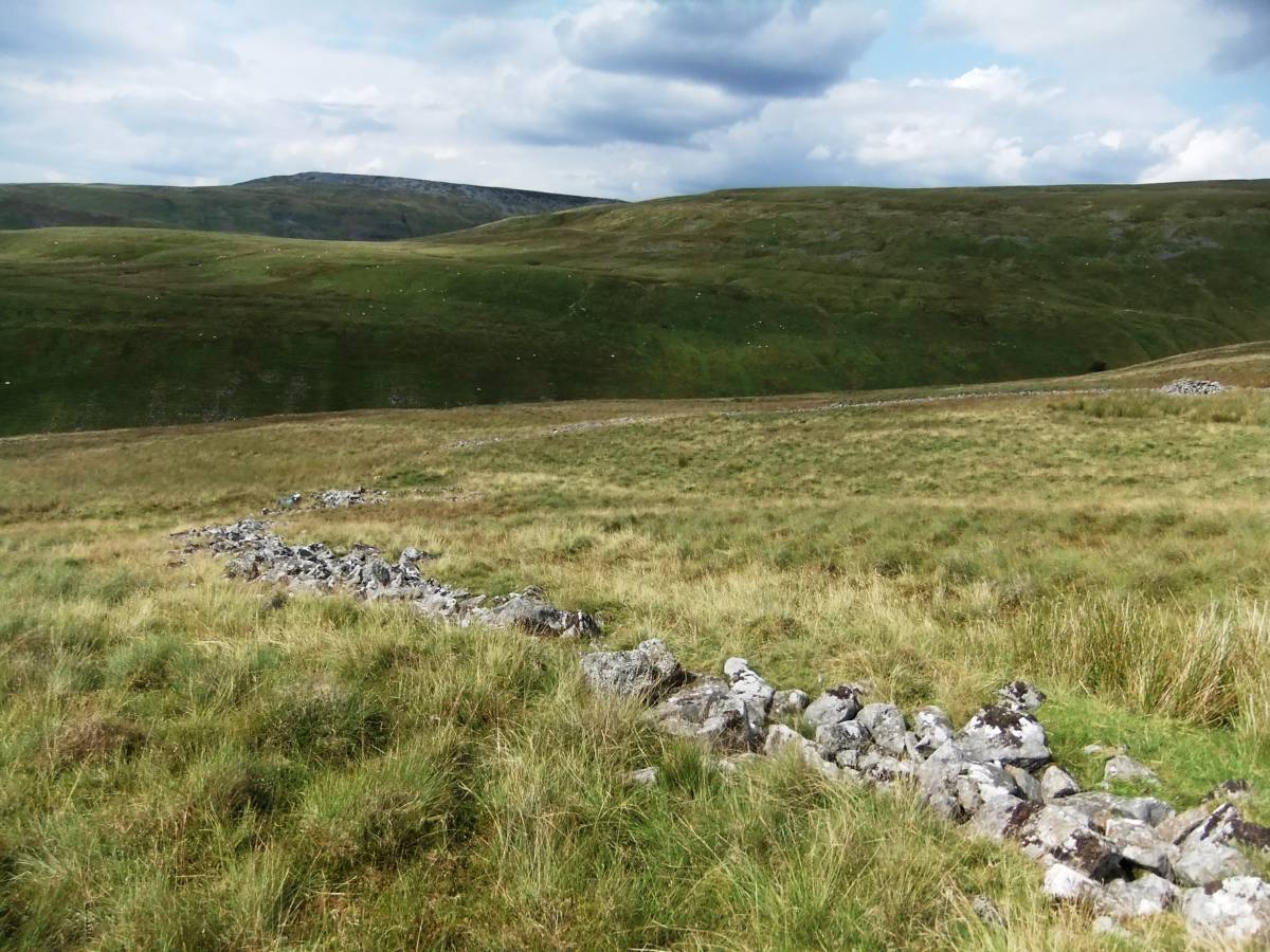
| Image 5 Description | The upper perimeter of Enclosure 1 seen from the moorland above and view westward to the Eden Valley |  |
| Image 6 ID | 5766 Click image to enlarge |
| Image 6 Description | Structures on the northern perimeter of the enclosure bank. | 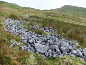 |
| Image 7 ID | 5767 Click image to enlarge |
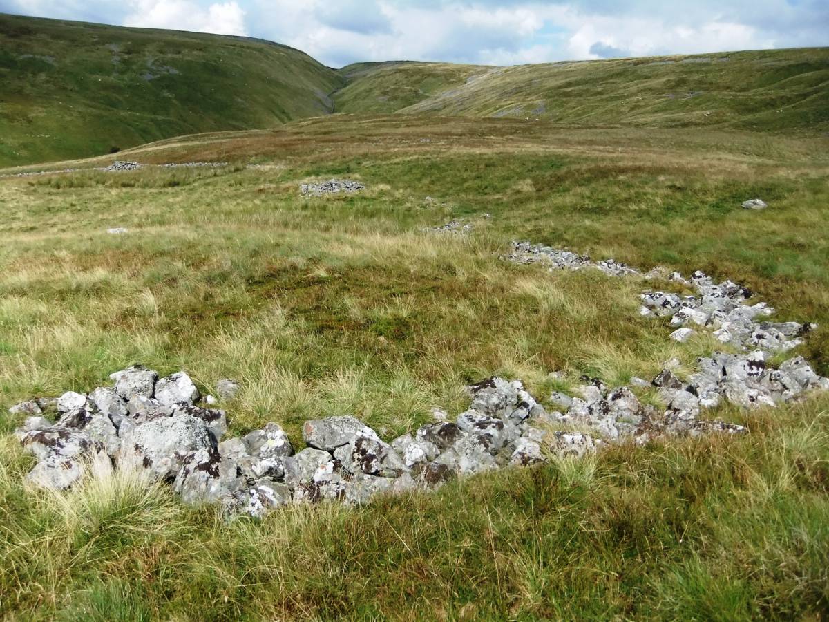
| Image 7 Description | View from the moorland above Enclosure 1 | 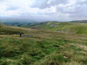 |
| Image 8 ID | 5768 Click image to enlarge |
| Image 8 Description | Recent shelters | 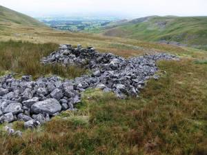 |
| Image 9 ID | 5769 Click image to enlarge |
| Image 9 Description | The NW corner of Enclosure 1 | 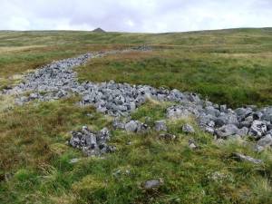 |
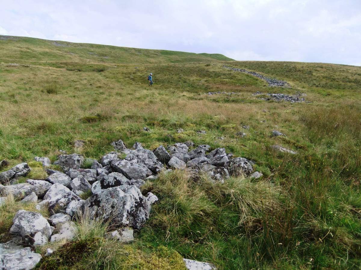
| Image 10 ID | 5771 Click image to enlarge |
| Image 10 Description | The lower perimeter of Enclosure 1 and Murton Pike. | 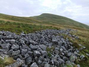 |
| Image 11 ID | 5770 |
| Image 11 Description | Northern and lower perimeter of Enclosure 1 and view to Encl. 2 | 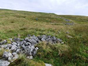 |
| Image 12 ID | 5772 |
| Image 12 Description | Structure on perimeter of Enclosure 2. |  |
| Image 13 ID | 5773 |
| Image 13 Description | Perimeter of Encl 2 |  |
| Image 14 ID | 5774 |
| Image 14 Description | Possible rectangular hut on perimeter of Enclosure 2 | 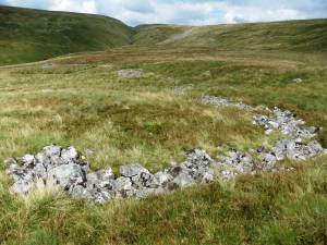 |
| Image 15 ID | 5775 |
| Image 15 Description | View of upper perimeters of Enclosures 1 and 2 and to the head of Trundale Gill. | 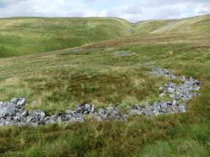 |
| Image 16 ID | 5776 |
| Image 16 Description | Rectangular building on perimeter of Enclosure 2 | 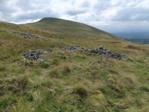 |
| Image 17 ID | 5777 |
| Image 17 Description | Rectangular hut at SE corner of Enclosure 2 |  |