|
| *****SWAAG_ID***** | 334 |
| Date Entered | 15/11/2011 |
| Updated on | 05/12/2011 |
| Recorded by | Tim Laurie |
| Category | Tree Site Record |
| Record Type | Botanical HER |
| SWAAG Site Name | |
| Site Type | |
| Site Name | |
| Site Description | |
| Site Access | Public Access Land |
| Record Date | 05/05/2011 |
| Location | Whitsundale.Unnamed west bank scar below Barney Brow. |
| Civil Parish | Muker |
| Brit. National Grid | NY 8675 0196 |
| Altitude | 358m |
| Geology | Namurian sandstones.Low east facing cliff at stream level. |
| Record Name | MUK118 Whitsundale. West bank scar below Barney Brow. Two isolated junipers. |
| Record Description | Site Type A. Acidic vegetation with two mature juniper bushes at lower end of cliff. Rowan and sallow the only other trees.
See LR plant list. |
| Dimensions | See photos. |
| Geographical area | Upper Swaledale |
| Species | Juniper |
| Scientific Name | |
| Common / Notable Species | Juniper, rowan and sallow |
| Tree and / or Stem Girth | |
| Tree: Position / Form / Status | |
| Tree Site ID | 0 |
| Associated Site SWAAG ID | 0 |
| Additional Notes | |
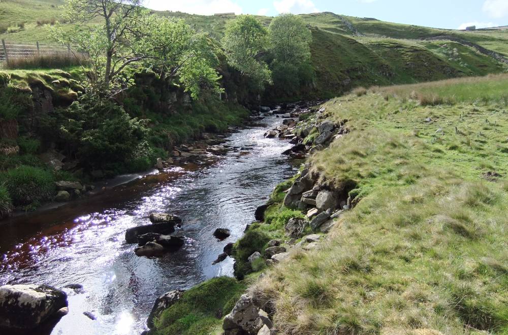
| Image 1 ID | 1281 Click image to enlarge |
| Image 1 Description | Unnamed west bank scar. View upstream. |  |
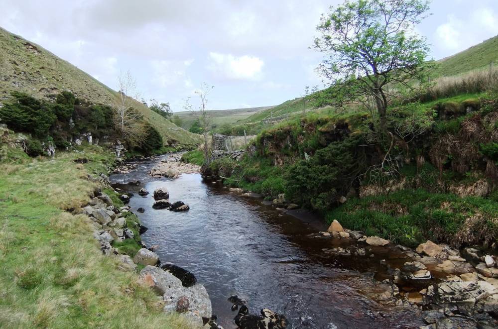
| Image 2 ID | 1282 Click image to enlarge |
| Image 2 Description | Unnamed west bank scar. View downstream with juniper and rowan. | 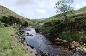 |
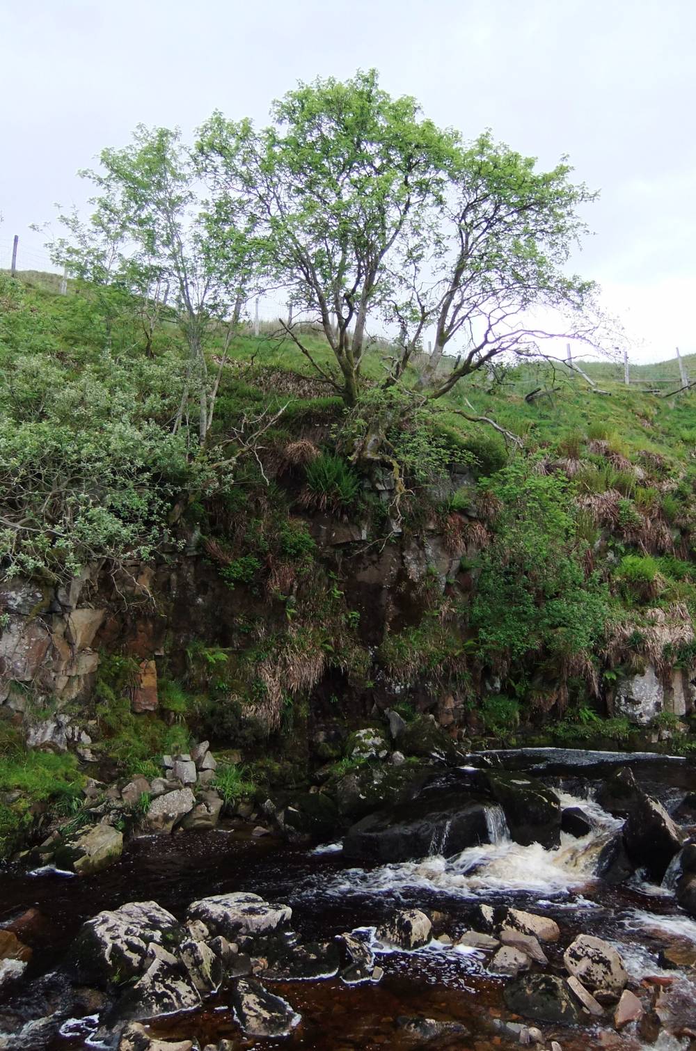
| Image 3 ID | 1283 Click image to enlarge |
| Image 3 Description | Unnamed west bank scar. Upper of two junipers. | 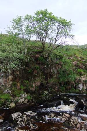 |
| Image 4 ID | 1284 Click image to enlarge |
| Image 4 Description | Unnamed west bank scar. Lower of two junipers. detail. | 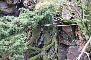 |
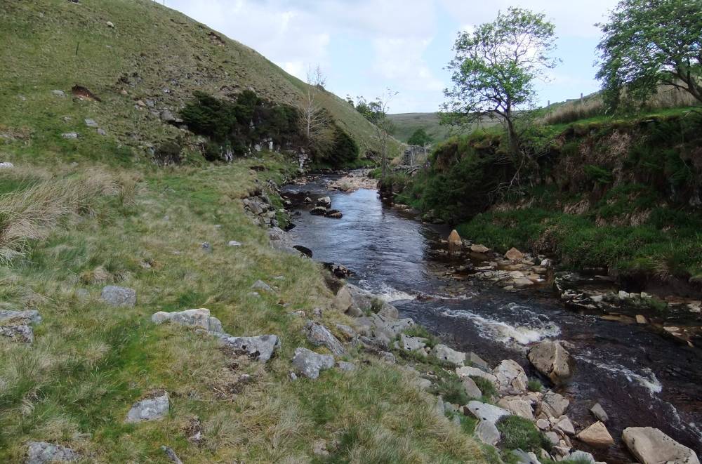
| Image 5 ID | 1285 Click image to enlarge |
| Image 5 Description | View downstream to the Juniper Scar, MUK117. |  |