|
| *****SWAAG_ID***** | 339 |
| Date Entered | 18/11/2011 |
| Updated on | 13/02/2012 |
| Recorded by | Tim Laurie |
| Category | Tree Site Record |
| Record Type | Botanical HER |
| SWAAG Site Name | |
| Site Type | |
| Site Name | |
| Site Description | |
| Site Access | Public Access Land |
| Record Date | 17/11/2011 |
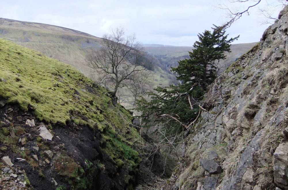
| Location | West Arngill Scar |
| Civil Parish | Muker |
| Brit. National Grid | NY 9130 0020 |
| Altitude | 400m |
| Geology | Main Limestone and talus slope |
| Record Name | MUK161 West Arngill Scar. Type C Species-rich Limestone ashwood with isolated juniper. |
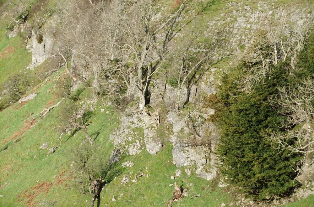
| Record Description | Species rich limestone ashwood on sheer limestone cliff with several fine yews,ash, wych elm,gooseberry, holly, hazel,sallow,rowan, dog rose and downy birch on chert strata at the top edge of the Scar. Most notably an isolated juniper (prostrate form) grows 1m above the base of the cliff.
Alder woodland with many ancient pollards and occasional blackthorn, hawthorn,hazel, elder on the spring flushed lower slopes below the cliff. Recorded seperately, SWAAG HER379.
There are very many fine specimen trees of all the above species on and below West Arngill Scar.
The vegetation has not yet been fully recorded, further visit required.
(SD 9130 0020 centre) |
| Dimensions | West Arngill Scar is approx 300m in length. |
| Geographical area | Upper Swaledale |
| Species | Juniper, prostrate form. |
| Scientific Name | J.comm. ssp nana. |
| Common / Notable Species | Ash, wych elm, downy birch, gooseberry, hazel,sallow, rowan, rose sp,rowan |
| Tree and / or Stem Girth | |
| Tree: Position / Form / Status | |
| Tree Site ID | 0 |
| Associated Site SWAAG ID | 0 |
| Additional Notes | The native woodland on and below this fine scar provides a rare transect from the highest limestone scar down to the river floodplain of the woodland communities which once would have been widespread on the dale sides throughout Swaledale. |
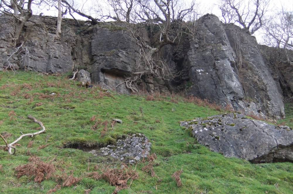
| Image 1 ID | 1306 Click image to enlarge |
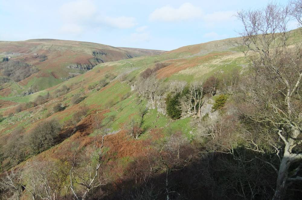
| Image 1 Description | West Arngill Scar seen from West Arngill. |  |
| Image 2 ID | 1307 Click image to enlarge |
| Image 2 Description | | 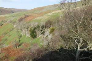 |
| Image 3 ID | 1308 Click image to enlarge |
| Image 3 Description | | 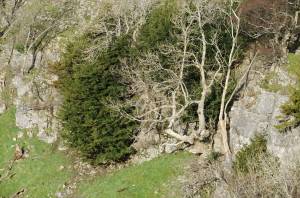 |
| Image 4 ID | 1309 Click image to enlarge |
| Image 4 Description | | 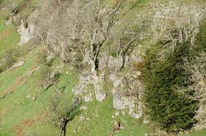 |
| Image 5 ID | 1310 Click image to enlarge |
| Image 5 Description | | 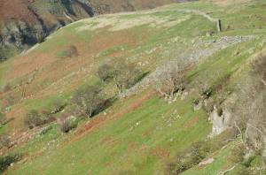 |
| Image 6 ID | 1311 Click image to enlarge |
| Image 6 Description | | 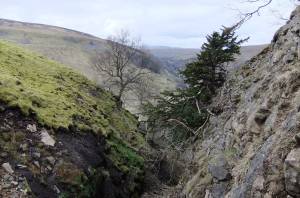 |
| Image 7 ID | 1312 Click image to enlarge |
| Image 7 Description | | 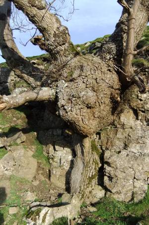 |
| Image 8 ID | 1313 Click image to enlarge |
| Image 8 Description | | 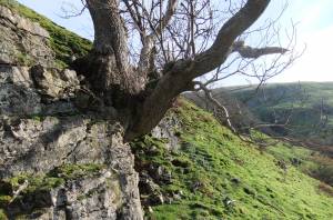 |
| Image 9 ID | 1314 Click image to enlarge |
| Image 9 Description | | 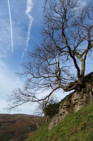 |
| Image 10 ID | 1315 Click image to enlarge |
| Image 10 Description | Isolated Juniper at base of cliff with holly ,wych elm, hazel, ash and yew. | 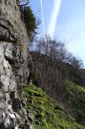 |
| Image 11 ID | 1316 |
| Image 11 Description | Juniper, prostrate form at base of cliff. Yew and holly on cliff also. | 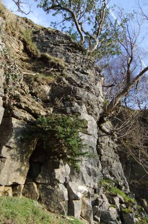 |
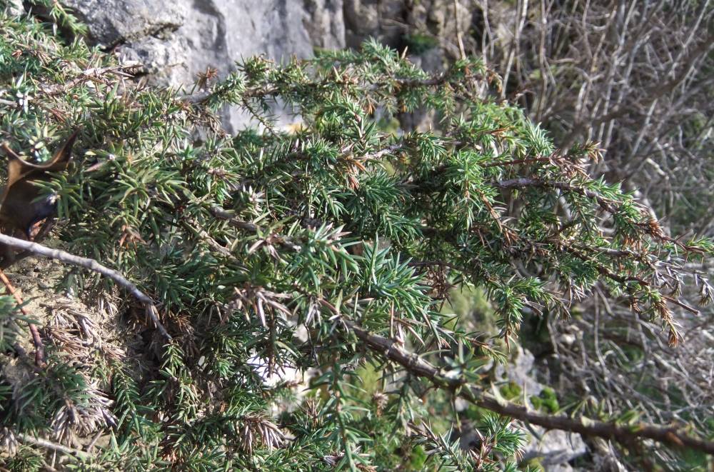
| Image 12 ID | 1317 |
| Image 12 Description | Juniper, etail. | 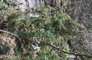 |
| Image 13 ID | 1318 |
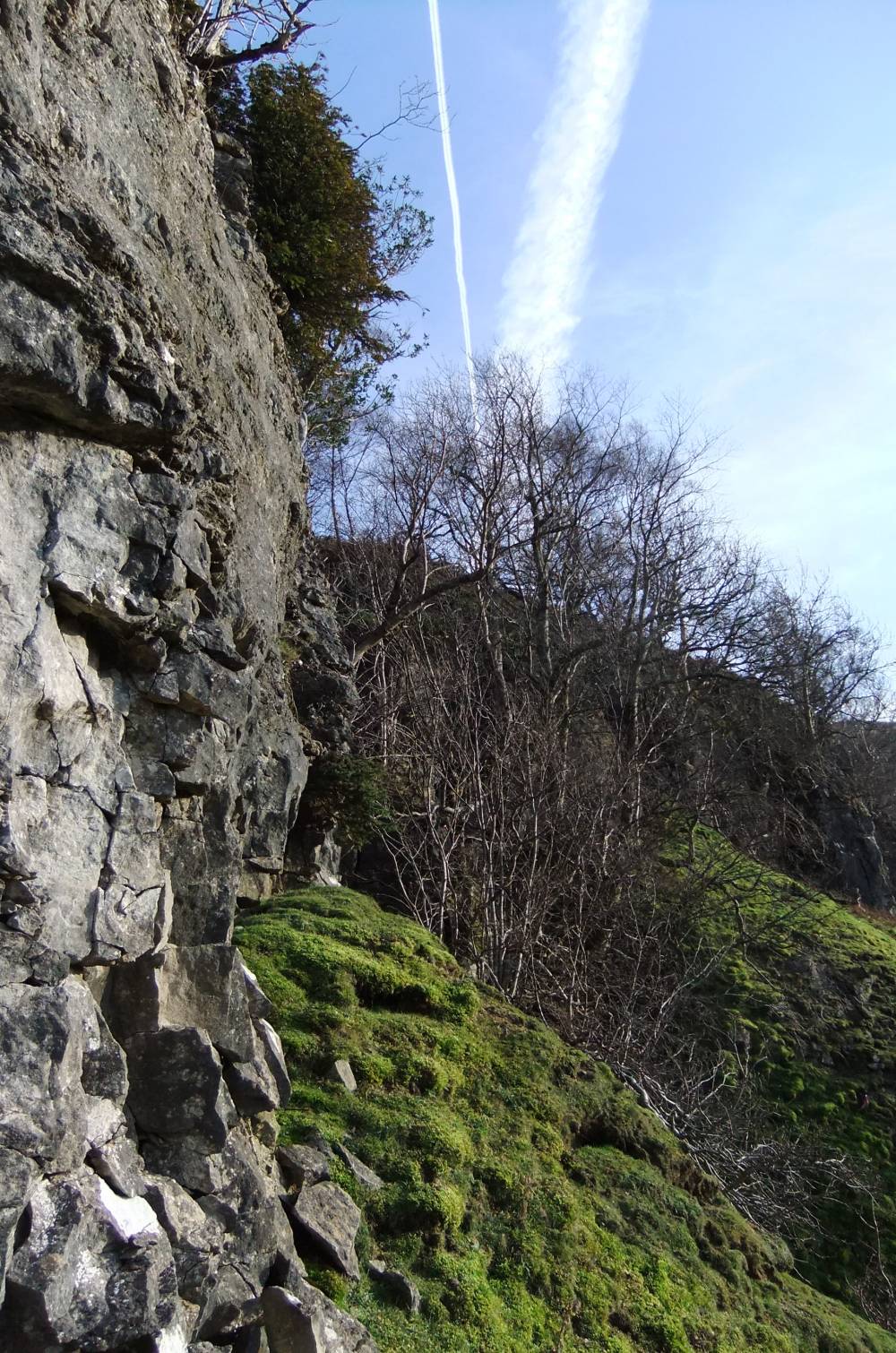
| Image 13 Description | Holly at top edge of cliff. 400mAOD. | 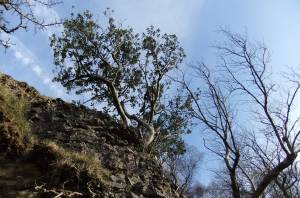 |
| Image 14 ID | 1319 |
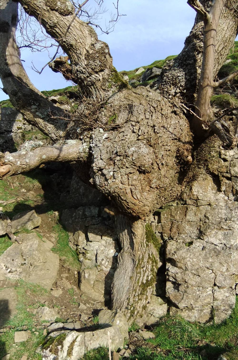
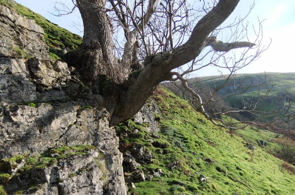
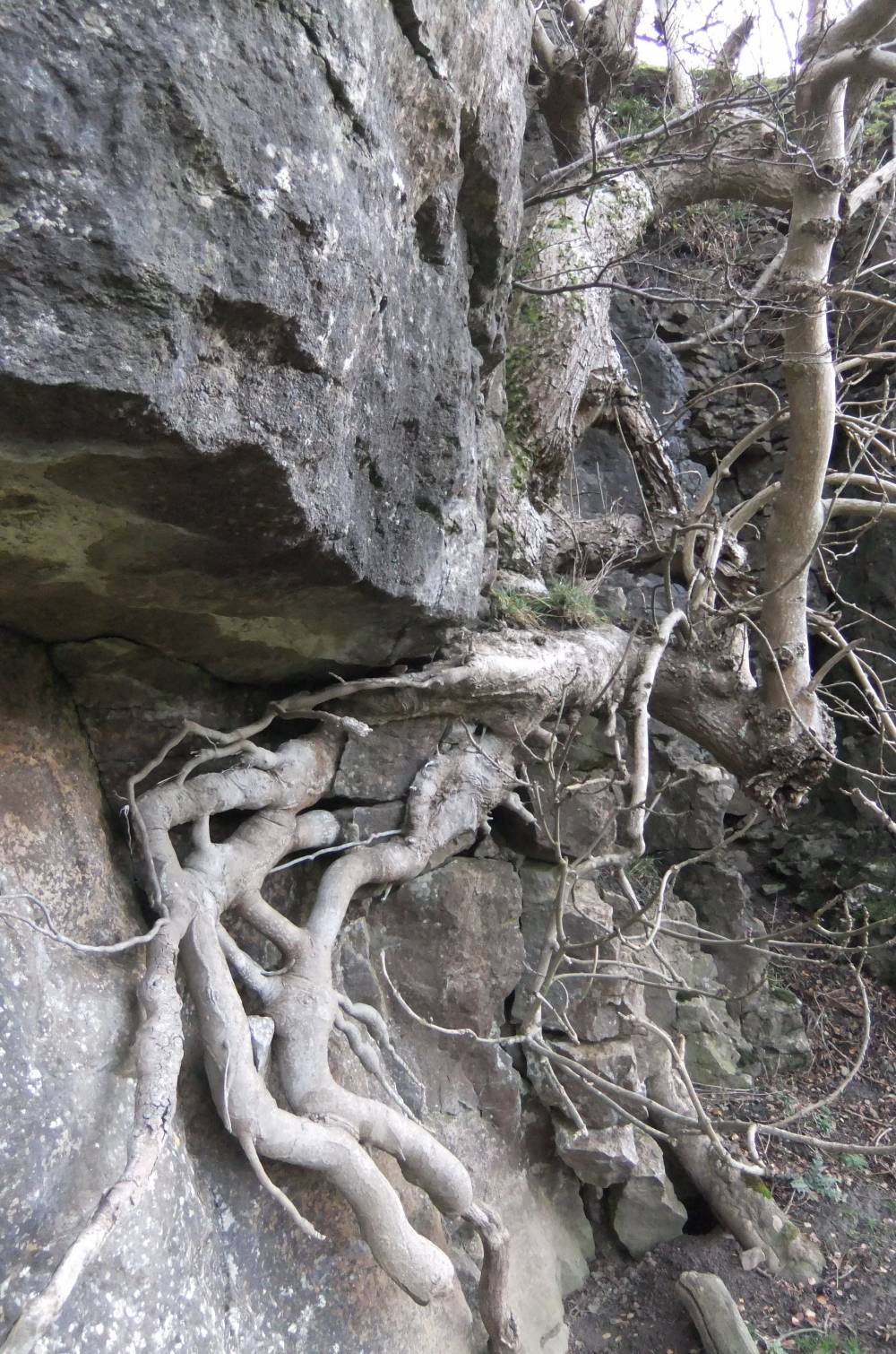
| Image 14 Description | Ash with exposed root system on face of cliff | 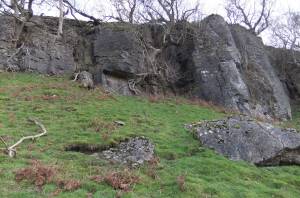 |
| Image 15 ID | 1320 |
| Image 15 Description | Ash with exposed roots. Note destabilising and destruction of the limestone rock face by the ash tree roots | 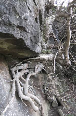 |