|
| *****SWAAG_ID***** | 342 |
| Date Entered | 21/11/2011 |
| Updated on | 25/11/2011 |
| Recorded by | Tim Laurie |
| Category | Mining Related |
| Record Type | Mining |
| SWAAG Site Name | |
| Site Type | |
| Site Name | |
| Site Description | |
| Site Access | Public Access Land |
| Record Date | 20/11/2011 |
| Location | Birkdale Common. Lane End Mine |
| Civil Parish | Muker |
| Brit. National Grid | |
| Altitude | |
| Geology | Namurian Strata (TFG) above Main Limestone. |
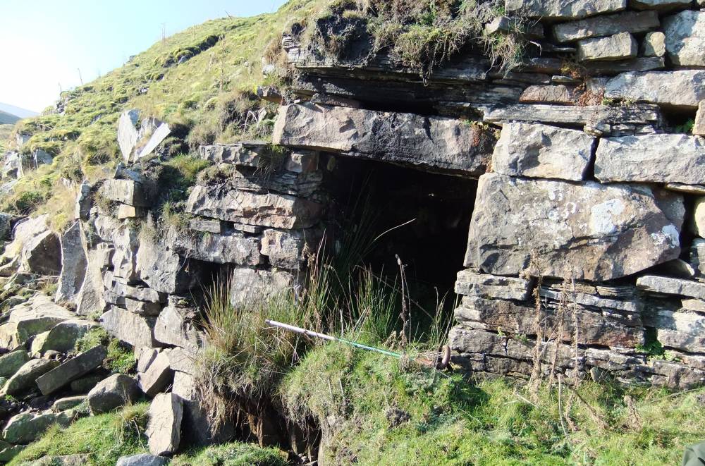
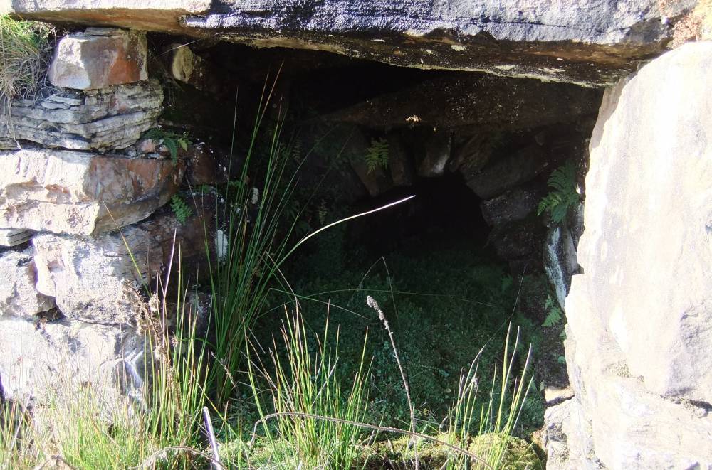
| Record Name | Birkdale Common. Lane End Mine. Level at stream level. |
| Record Description | This level is visible only from the east bank of Great Sleddale Beck and easily overlooked. |
| Dimensions | Very small arched tunnel visible. |
| Geographical area | |
| Species | |
| Scientific Name | |
| Common / Notable Species | |
| Tree and / or Stem Girth | |
| Tree: Position / Form / Status | |
| Tree Site ID | 0 |
| Associated Site SWAAG ID | 0 |
| Additional Notes | This may have been a drainage or early trial level but no water runs from this level today. It must be well above the level reached by the main shaft at the mine itself.
Please see records 108 and 325 as well. |
| Image 1 ID | 1335 Click image to enlarge |
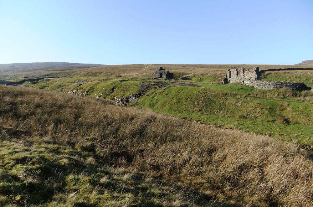
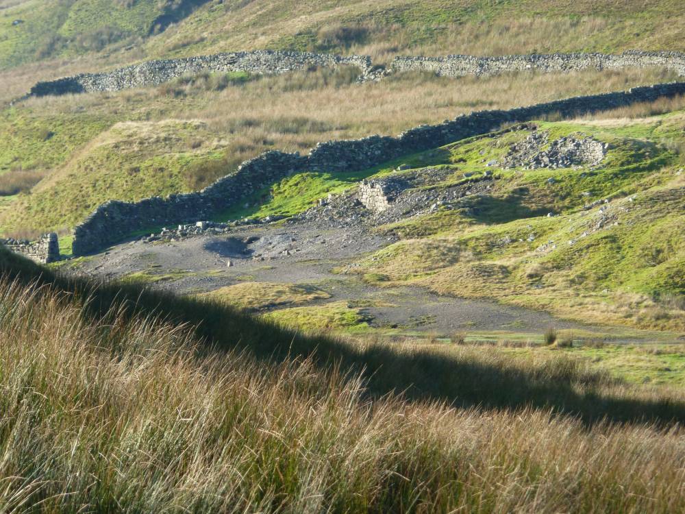
| Image 1 Description | Lane End Mine complex from the east. Opening to level visible above stream. |  |
| Image 2 ID | 1336 Click image to enlarge |
| Image 2 Description | | 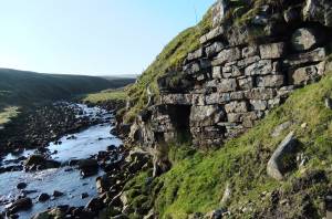 |
| Image 3 ID | 1337 Click image to enlarge |
| Image 3 Description | |  |
| Image 4 ID | 1338 Click image to enlarge |
| Image 4 Description | | 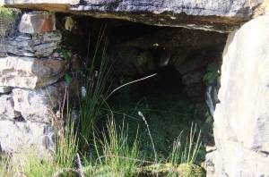 |
| Image 5 ID | 1339 Click image to enlarge |
| Image 5 Description | | 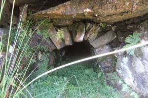 |
| Image 6 ID | 1402 Click image to enlarge |
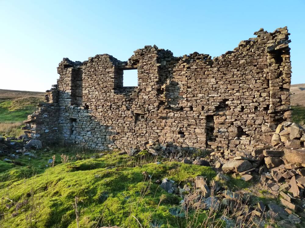
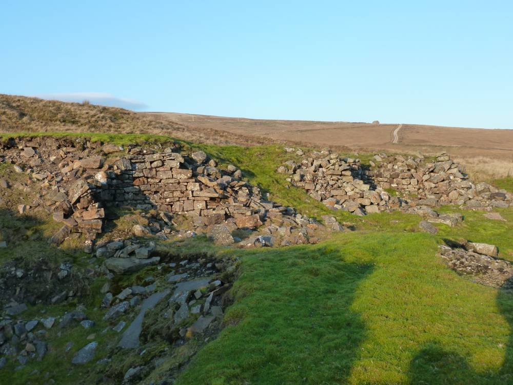
| Image 6 Description | Probably a miners bunk house |  |
| Image 7 ID | 1401 Click image to enlarge |
| Image 7 Description | Main shaft said to be 50 fathoms deep = 300 feet or 274 metres. | 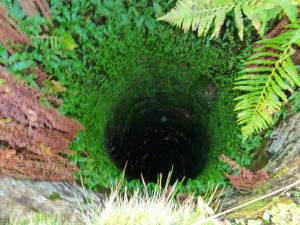 |
| Image 8 ID | 1396 Click image to enlarge |
| Image 8 Description | Dressing floor |  |
| Image 9 ID | 1397 Click image to enlarge |
| Image 9 Description | Water wheel pit | 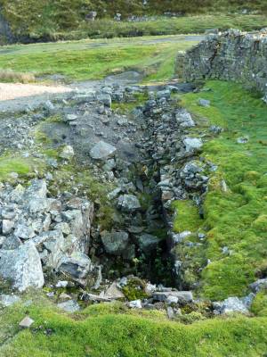 |
| Image 10 ID | 1399 Click image to enlarge |
| Image 10 Description | Bouse Teams | 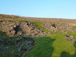 |