|
| *****SWAAG_ID***** | 336 |
| Date Entered | 16/11/2011 |
| Updated on | 05/12/2011 |
| Recorded by | Tim Laurie |
| Category | Tree Site Record |
| Record Type | Botanical HER |
| SWAAG Site Name | |
| Site Type | |
| Site Name | |
| Site Description | |
| Site Access | Private |
| Record Date | 13/11/2010 |
| Location | Whitsundale How Edge Scars Lower Section from Cop Gill down to Caveside Gill |
| Civil Parish | Muker |
| Brit. National Grid | NY 8675 0245 |
| Altitude | 400m |
| Geology | Stream cut ravine through Namurian sandstones and mudstones with tufa forming springs above the east bank of the stream. |
| Record Name | MUK120 How Edge Scars. Lower Section. Type B Generally acidic vegetation but with tufa springs above stream. Aspen Clones and Juniper. |
| Record Description | Native oak (Qu.robur) birch (B.pubescens) woodland with very extensive cloned aspen grove on eastern bank and two isolated juniper bushes on outcropping rock at the top edge of the eastern side of the ravine. Eared sallow(S. aurita)present.
Generally acidic vegetation but with local enrichment from tufa forming springs on eastern bank.
See L.R. Plant List.
|
| Dimensions | See photographs. |
| Geographical area | Upper Swaledale |
| Species | Aspen, juniper, pedunculate oak, eared sallow. |
| Scientific Name | |
| Common / Notable Species | |
| Tree and / or Stem Girth | |
| Tree: Position / Form / Status | |
| Tree Site ID | 0 |
| Associated Site SWAAG ID | 0 |
| Additional Notes | The native woodland at How Edge Scars is perhaps the best example of native woodland once widespread across the open moorland of Upper Swaledale.
The seperate populations of aspens located on the eastern slopes at the lower and upper parts of the ravine and on the north facing cliff at the top of the ravine on the westside of the stream are of special interest as are the scattered junipers and above all the uniquely interesting overhanging tufa formation on the cliff at the top of the ravine colonised by non-flowering plants, mosses, lichen, algae and diatoms.
Colonies of stone bramble,oak and beech fern also present.
Upper (MUK121) and Lower Parts (MUK120) of the ravine recorded seperately to allow seperate presentation of the isolated junipers and aspen groves. |
| Image 1 ID | 1292 Click image to enlarge |
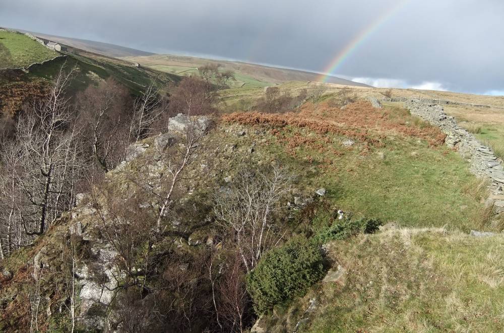
| Image 1 Description | How Edge Ravine, view from Caveside Gill upstream. | 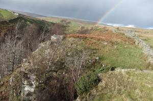 |
| Image 2 ID | 1293 Click image to enlarge |
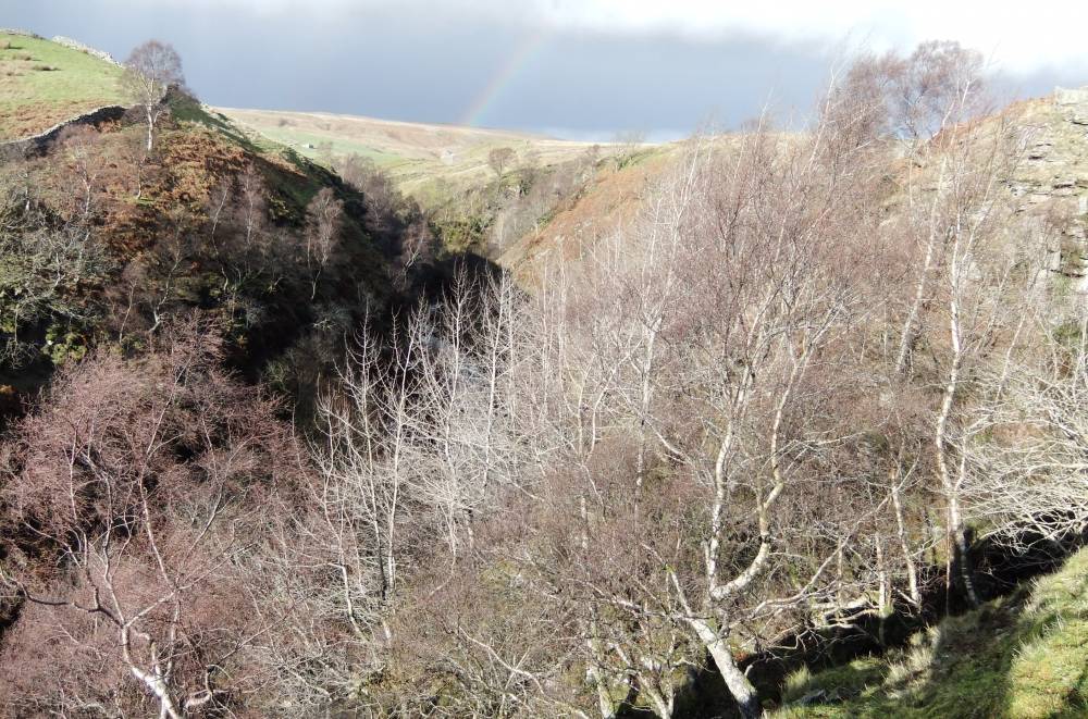
| Image 2 Description | How Edge Ravine, juniper and aspen. Caveside Gill. | 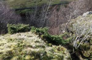 |
| Image 3 ID | 1294 Click image to enlarge |
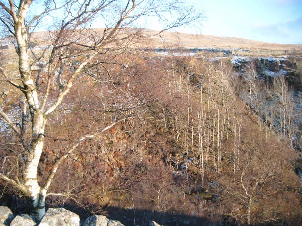
| Image 3 Description | How Edge Ravine, aspen grove. Caveside Gill. Oak and birch on far bank. |  |
| Image 4 ID | 1296 Click image to enlarge |
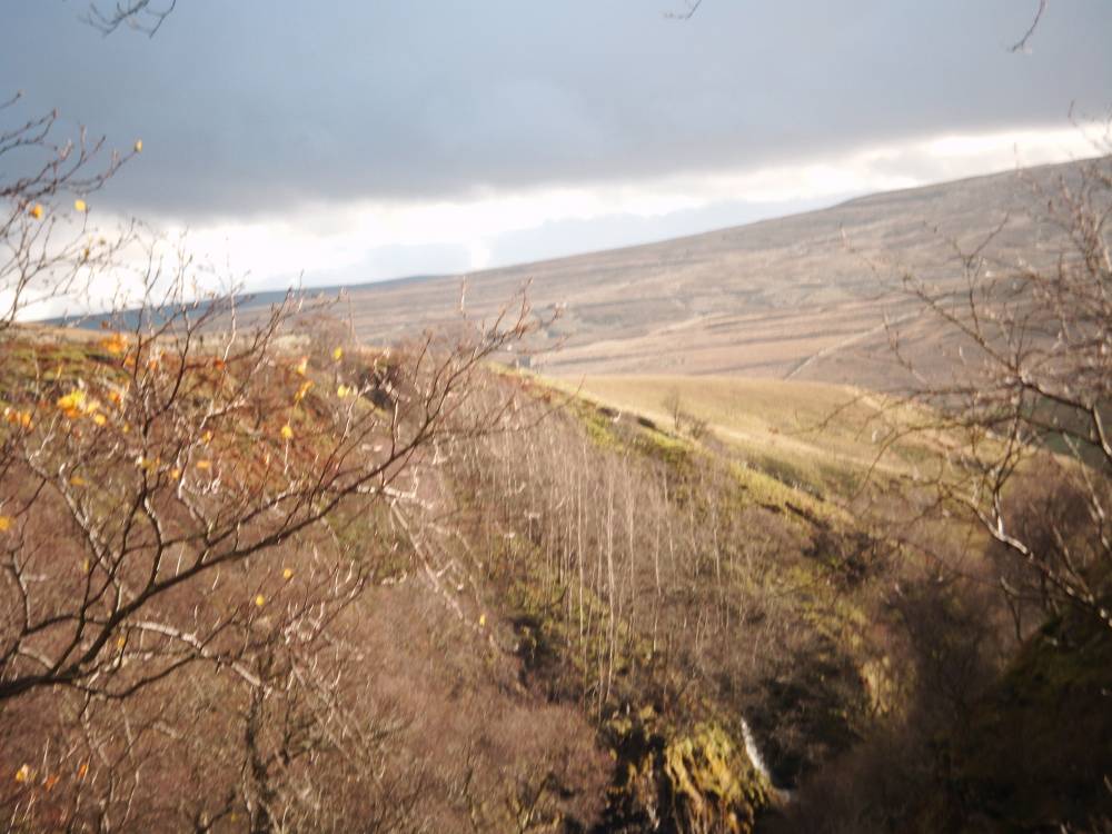
| Image 4 Description | How Edge Ravine, oak woodland on west bank. | 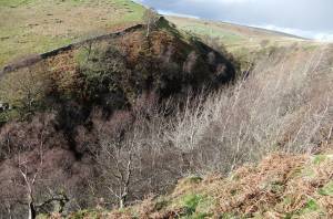 |
| Image 5 ID | 1297 Click image to enlarge |
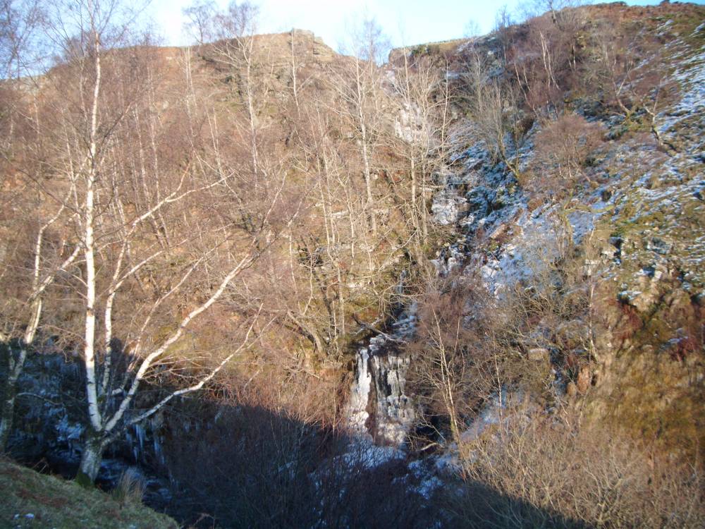
| Image 5 Description | Caveside Gill. Frozen. | 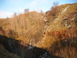 |
| Image 6 ID | 1298 Click image to enlarge |
| Image 6 Description | View of aspen grove at Caveside Gill from west bank.Winter. |  |
| Image 7 ID | 1299 Click image to enlarge |
| Image 7 Description | View of aspen grove at Caveside Gill from west bank.Winter. | 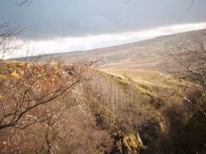 |
| Image 8 ID | 1300 Click image to enlarge |
| Image 8 Description | Caveside Gill from west bank.Winter. |  |