|
| *****SWAAG_ID***** | 425 |
| Date Entered | 10/01/2012 |
| Updated on | 10/01/2012 |
| Recorded by | Tim Laurie |
| Category | Burial Mounds and Cairns |
| Record Type | Archaeology |
| SWAAG Site Name | |
| Site Type | |
| Site Name | |
| Site Description | |
| Site Access | Public Access Land |
| Location | New Forest. Holgate How. Summit. |
| Civil Parish | New Forest |
| Brit. National Grid | NZ 06741 04746 |
| Altitude | 432m |
| Geology | Main Limestone. |
| Record Name | New Forest.Holgate How. Summit round barrow and associated prehistoric landscape. |
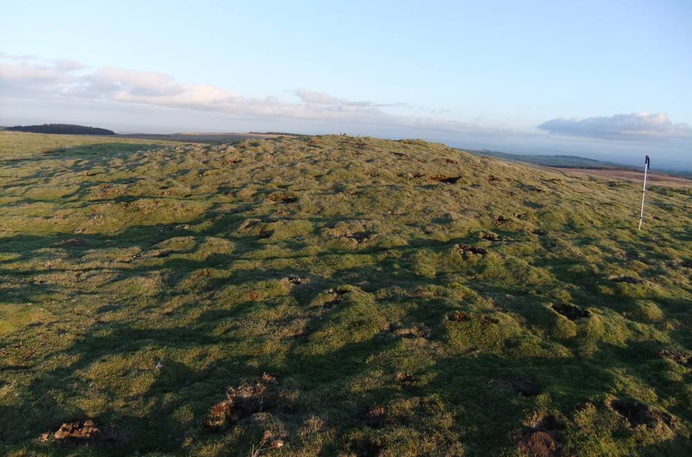
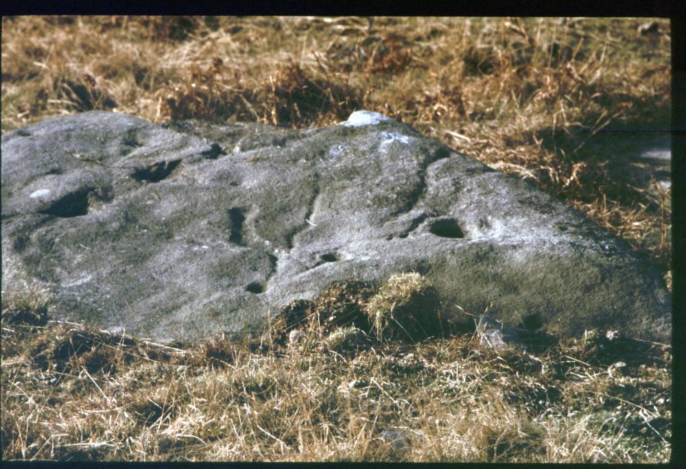
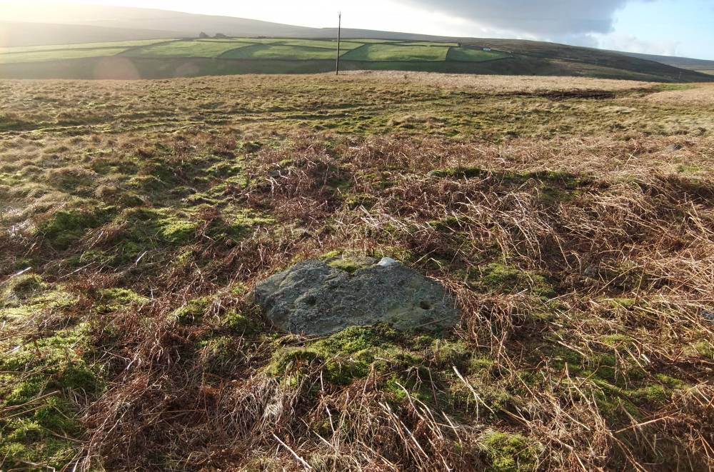
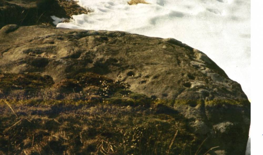
| Record Description | Very large, 20m diameter, and rather low,1.5m high,summit round barrow. Turf covered and slightly disturbed. This round barrow is the focal point of a prehistoric landscape which includes; 1) A second but much smaller round cairn approximately 5000m to the NE (see photo below),2) a group of rock art sites on the SW slopes (see photos below) an unenclosed settlement (unsurveyed) on the lower slopes to the South and a burnt mound at NZ06467 04676, 388m. |
| Dimensions | 20m Diameter overall |
| Geographical area | |
| Species | |
| Scientific Name | |
| Common / Notable Species | |
| Tree and / or Stem Girth | |
| Tree: Position / Form / Status | |
| Tree Site ID | 0 |
| Associated Site SWAAG ID | 0 |
| Additional Notes | These late neolithic and bronze age sites are located on the line of an easy approach across the Swale-Tees-Greta Interfluve to the Pass of Stainmore. Penny Spikens, in her paper titled 'Rivers Boundaries and Change' (Spikens 1996) suggested that Mesolithic Communities occupied territories based on river catchments and that the concentrations of Hunter Gatherer Occupation Sites at Springs on the interfluve wer located for purposes of exchange and marriage. The concentration of Mesolithic Hunter Gatherer Occupation Sites some 2km tothe north of Holgate How, see photos below, which are clustered at the watershed springs at the head of Marske Beck provide support for this idea. |
| Image 1 ID | 2011 Click image to enlarge |
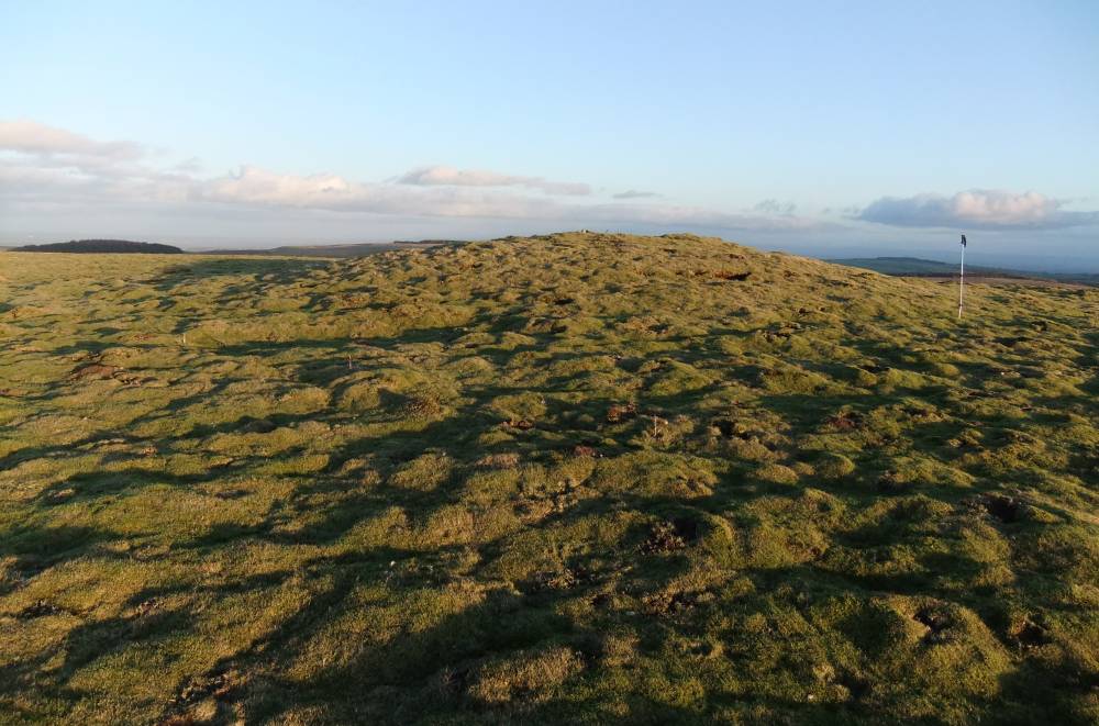
| Image 1 Description | Holgate How Round barrow. View to the south. | 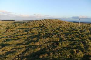 |
| Image 2 ID | 2025 Click image to enlarge |
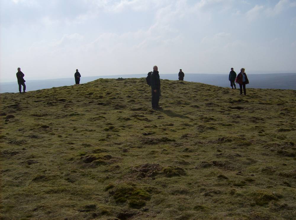
| Image 2 Description | Holgate How Summit Round Barrow. Photographed during Reeth Museum Friends Field Walk 26.03.2007. | 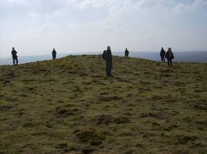 |
| Image 3 ID | 2012 Click image to enlarge |
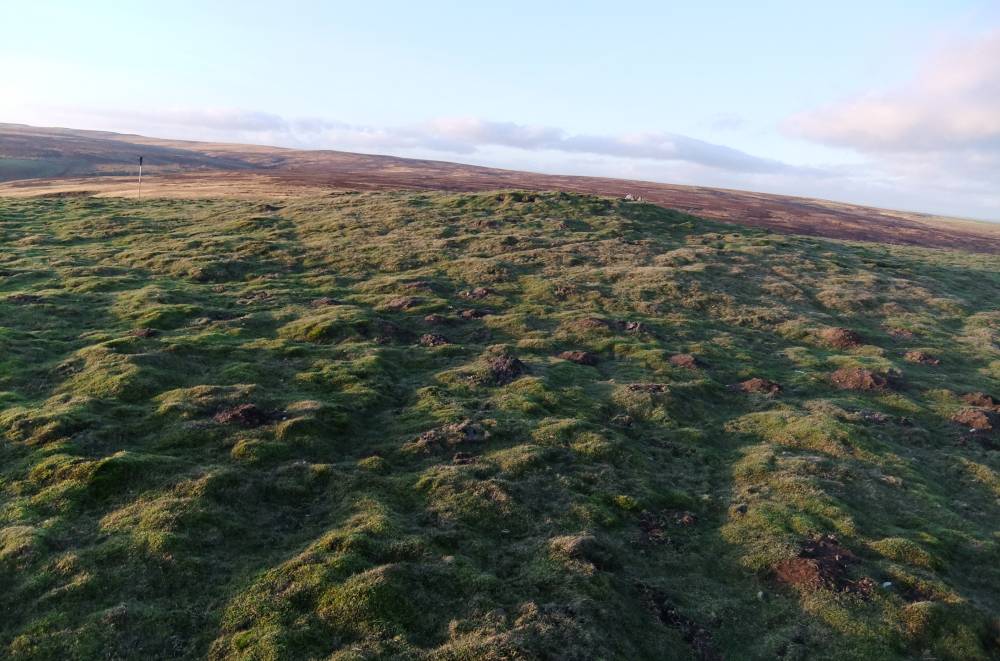
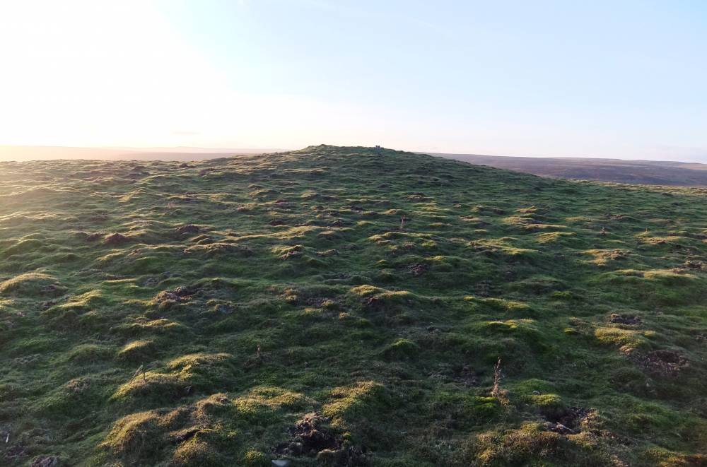
| Image 3 Description | Holgate How Round barrow. | 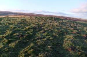 |
| Image 4 ID | 2013 Click image to enlarge |
| Image 4 Description | Holgate How Round barrow. | 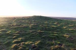 |
| Image 5 ID | 2014 Click image to enlarge |
| Image 5 Description | Holgate How Round barrow. | 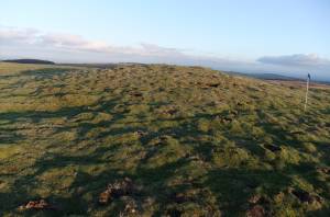 |
| Image 6 ID | 2015 Click image to enlarge |
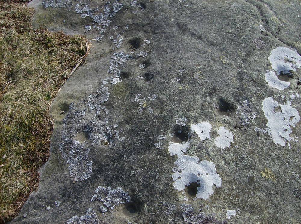
| Image 6 Description | Holgate How South Slope.Cup and ring marked rock. Beckensall and Laurie, 1998, p.94 Holgate Site 6. Historic photo. |  |
| Image 7 ID | 2016 Click image to enlarge |
| Image 7 Description | Holgate How South Slope. Cup and ring marked rock. Beckensall and Laurie 1998 Site 6. Recent photo. | 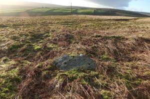 |
| Image 8 ID | 2019 Click image to enlarge |
| Image 8 Description | Holgate How South Slope.Cup and ring marked rock. Beckensall and Laurie,1998, Holgate Site 7. Historic photo. |  |
| Image 9 ID | 2020 Click image to enlarge |
| Image 9 Description | Holgate How South Slope.Cup and ring marked rock. Beckensall and Laurie, 1998, Holgate Site 7. Historic photo. | 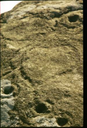 |
| Image 10 ID | 2017 Click image to enlarge |
| Image 10 Description | Holgate How South Slope. Cup and ring marked rock. Many rocks here have been quarried away for stone gate posts. | 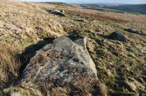 |
| Image 11 ID | 2021 |
| Image 11 Description | Barningham High Moor. Late neolithis arrowpoint made from black chert, and mesolithic toolkit. | 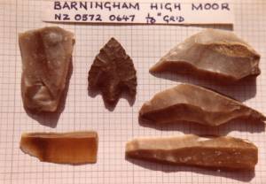 |
| Image 12 ID | 2022 |
| Image 12 Description | Late Mesolithic lithic finds from High Moor with narrow blade microliths. | 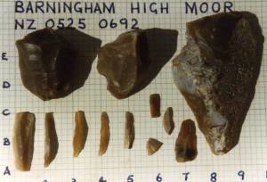 |
| Image 13 ID | 2023 |
| Image 13 Description | Flint cores of Late Mesolithic character from a High Moor site. | 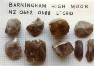 |
| Image 14 ID | 2024 |
| Image 14 Description | Holgate How from Helwith. | 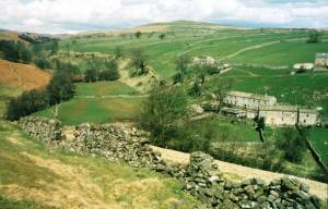 |
| Image 15 ID | 2026 |
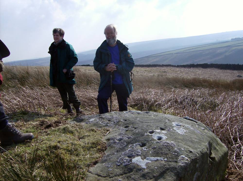
| Image 15 Description | Cup and ring marked rock photographed during Reeth Museum Friends Field Walk, 26.03.07 | 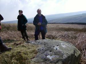 |
| Image 16 ID | 2027 |
| Image 16 Description | Cup and ring marked rock photographed during Reeth Museum Friends Field Walk, 26.03.07 | 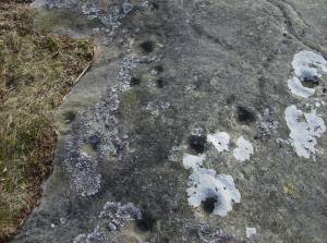 |
| Image 17 ID | 2028 |
| Image 17 Description | Cup and ring marked rock photographed during Reeth Museum Friends Field Walk, 26.03.07 | 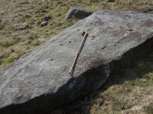 |
| Image 18 ID | 2029 |
| Image 18 Description | Cup and ring marked rock photographed during Reeth Museum Friends Field Walk, 26.03.07 | 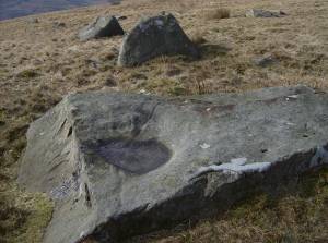 |
| Image 19 ID | 2030 |
| Image 19 Description | Cup and ring marked rock photographed during Reeth Museum Friends Field Walk, 26.03.07 |  |
| Image 20 ID | 2031 |
| Image 20 Description | Cup and ring marked rock photographed during Reeth Museum Friends Field Walk, 26.03.07 | 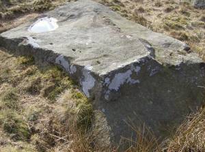 |
| Image 21 ID | 2033 |
| Image 21 Description | Cultivation terraces near Holgate Farm, photographed during Reeth Museum Friends Field Walk, 26.03.07 | 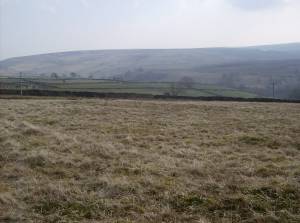 |
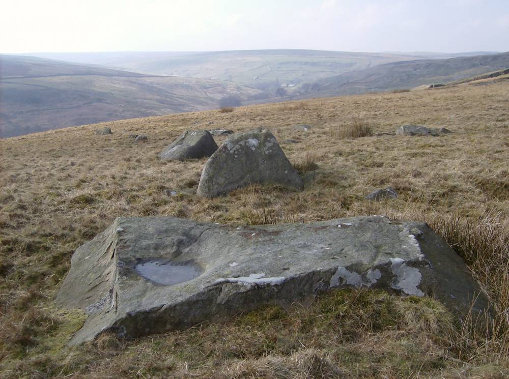
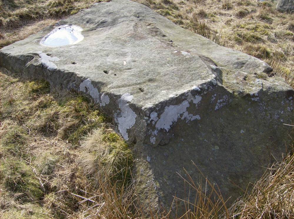
| Image 22 ID | 2034 |
| Image 22 Description | Small 8m dia round cairn 500m NE of Holgate How Summit Cairn. |  |
| Image 23 ID | 2035 |
| Image 23 Description | Small 8m dia round cairn 500m NE of Holgate How Summit Cairn. | 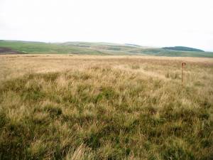 |