|
| *****SWAAG_ID***** | 432 |
| Date Entered | 20/01/2012 |
| Updated on | 20/01/2012 |
| Recorded by | Ric Carter |
| Category | Earthworks |
| Record Type | Archaeology |
| SWAAG Site Name | |
| Site Type | |
| Site Name | |
| Site Description | |
| Site Access | Public Access Land |
| Record Date | 17/01/2012 |
| Location | below Little Windegg, Arkengarthdale |
| Civil Parish | Arkengarthdale |
| Brit. National Grid | NZ 00608 04532 |
| Altitude | 422m |
| Geology | |
| Record Name | Earthwork and Enclosure below Little Windegg |
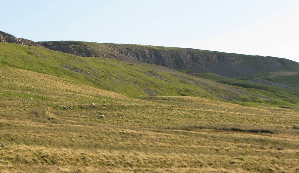
| Record Description | A penannular earthwork in the form of a ditch (max. 1.8m deep) and bank with a central, heavily quarried, mound and a levelled area to the fore. On sloping ground, facing West, this feature is of uncertain date and purpose but may have been the stance for a timber building; the ditch to divert run-off water from higher ground above. |
| Dimensions | |
| Geographical area | |
| Species | |
| Scientific Name | |
| Common / Notable Species | |
| Tree and / or Stem Girth | |
| Tree: Position / Form / Status | |
| Tree Site ID | 0 |
| Associated Site SWAAG ID | 0 |
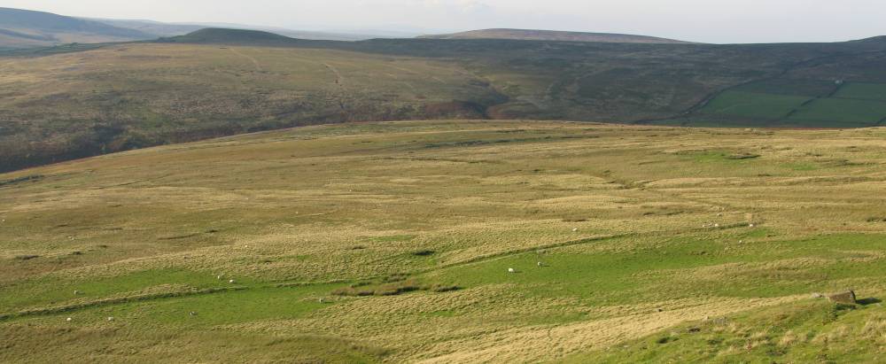
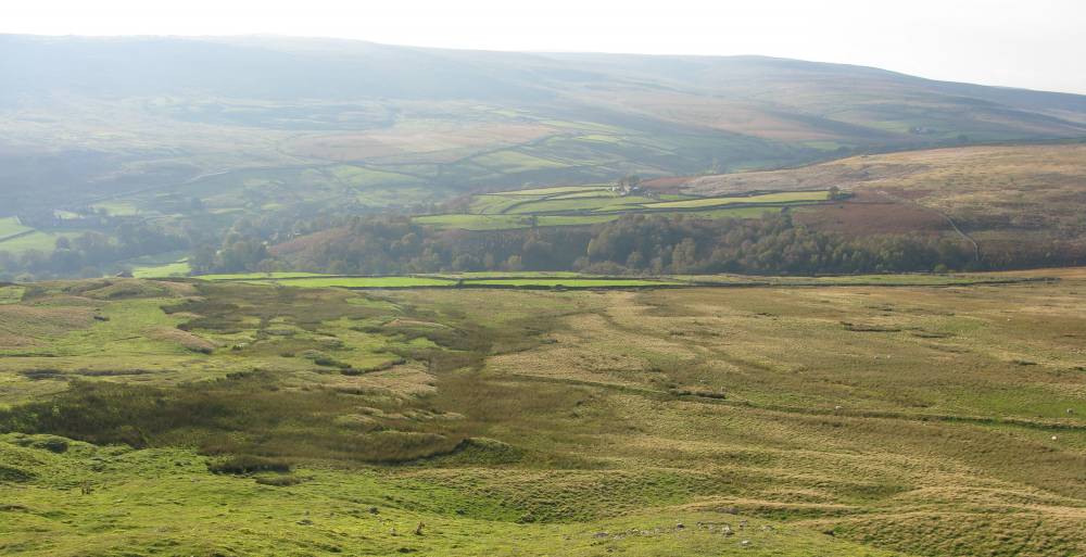
| Additional Notes | This earthwork is in proximity to, and may be associated with, the much larger semi-circular feature shown in the later images. In part embanked, in part ditched and in part following the post- glacial landslip terrain this feature can be traced from/to the field walls close to Stang Lane but is considered to pre-date those walls. Enclosing several acres of ground, it may represent an earlier Drovers' stock enclosure. |
| Image 1 ID | 2099 Click image to enlarge |
| Image 1 Description | Earthwork | 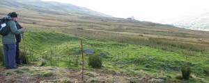 |
| Image 2 ID | 2100 Click image to enlarge |
| Image 2 Description | Earthwork (foreground) with Embankment in middle-distance | 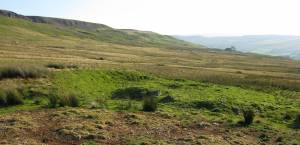 |
| Image 3 ID | 2101 Click image to enlarge |
| Image 3 Description | Enclosure (part) | 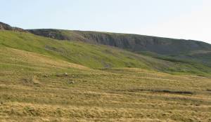 |
| Image 4 ID | 2102 Click image to enlarge |
| Image 4 Description | Enclosure (continuation) | 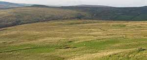 |
| Image 5 ID | 2103 Click image to enlarge |
| Image 5 Description | Enclosure (continuation) | 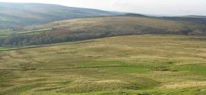 |
| Image 6 ID | 2104 Click image to enlarge |
| Image 6 Description | Enclosure (final) | 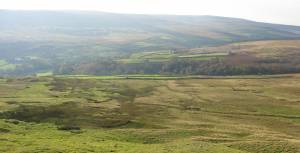 |
| Image 7 ID | 2105 Click image to enlarge |
| Image 7 Description | Earthwork Plan: S. Eastmead | 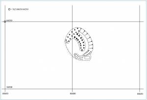 |