|
| *****SWAAG_ID***** | 442 |
| Date Entered | 29/01/2012 |
| Updated on | 07/04/2012 |
| Recorded by | Tim Laurie |
| Category | Geographical Record |
| Record Type | Geomorphology |
| SWAAG Site Name | |
| Site Type | |
| Site Name | |
| Site Description | |
| Site Access | Army Range |
| Record Date | 28/01/2012 |
| Location | Bellerby Moor Ranges and Bellerby Deer Park. |
| Civil Parish | Bellerby |
| Brit. National Grid | SE 088 934 |
| Altitude | 315m |
| Geology | Morainic hills with loess infilled depressions and tufa forming springs. Faulted namurian Strata with economic coal seam at the eastern extremity of the Preston Moor Colliery |
| Record Name | Photographic montage of Bellerby Moorand Bellerby Deer Park in advance of construction of New Range. Part Two. |
| Record Description | This is Part Two (See also HER 433) of an overview and photo montage of a Pennine Moorland landscape soon to be changed for ever in the cause of National Defence by the construction of a new Small Arms Range.
Bellerby Moor is an area of heather covered morainic hills and green grassy hollows infilled with wind blown loess. Areas of wetland are drained by small streams which rise at highly calcareous ,tufa forming springs located to the south of Black Beck on the interfluve between Swale and Ure. These streams cross the area to be levelled for the two lanes of the new Range to fall towards Park Gill and from thence to disappear into the Main Limestone which forms the Northern Edge of Wensleydale.
This area, within the Pennine Moors SSSI, has a wealth of sites of high landscape and specialist interest including Geological, Geomorhological, Botanical, Mining,Historical and Archaeological Features.
Each of these specialist fetaures will be recorded seperately as specific records on the SWAAG HER in order to place on record the context of these sites and quality of this moorland landscape prior to construction of the New Range.
The photographs which are attached to this record were all taken during a field visit to Bellerby Moor by Swaag Members on Saturday 28th January 2012. |
| Dimensions | See photographs. |
| Geographical area | |
| Species | |
| Scientific Name | |
| Common / Notable Species | |
| Tree and / or Stem Girth | |
| Tree: Position / Form / Status | |
| Tree Site ID | 0 |
| Associated Site SWAAG ID | 0 |
| Additional Notes | The detailed archaeological landscape of Bellerby Moor is currently being mapped by SWAAG Members and each site will be recorded seperately on the SWAAG HER Database. This overview is an informal portrait of the area which has probably been overlooked and rarely visited except by occasional shooting parties and by 'vermin control' or rabbiters. Only recently have the wealth of geological, botanical, archaeological and mining remains been subjects for close record. |
| Image 1 ID | 2172 Click image to enlarge |
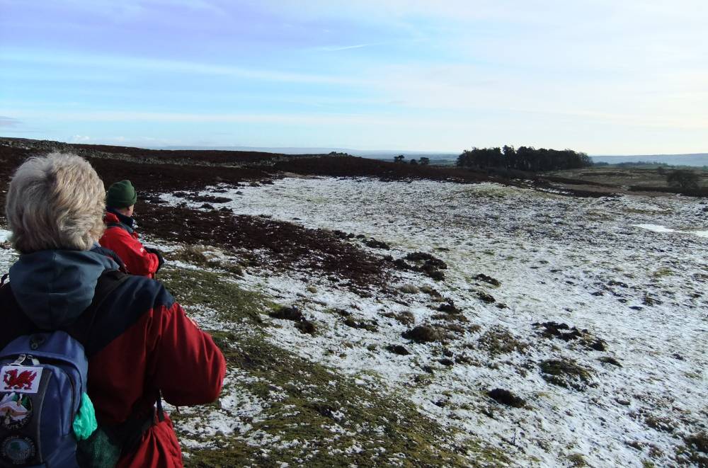
| Image 1 Description | View Southward from Park Gill Beck Head towards the recently discovered Barrow. Photo: Ric Carter. | 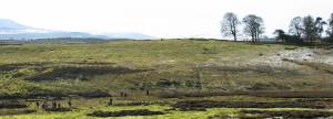 |
| Image 2 ID | 2170 Click image to enlarge |
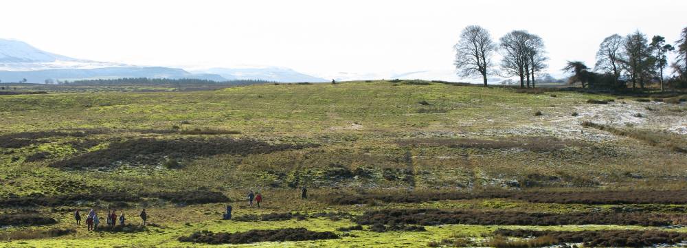
| Image 2 Description | Bellerby Range in winter from road. | 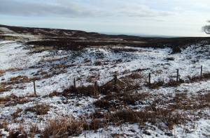 |
| Image 3 ID | 2171 Click image to enlarge |
| Image 3 Description | Coal pit and oak tree | 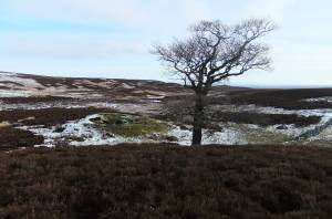 |
| Image 4 ID | 2173 Click image to enlarge |
| Image 4 Description | Small depression, once open water fed by tufa springs, with 18C AD coal pits an 18C BC burnt mound |  |
| Image 5 ID | 2174 Click image to enlarge |
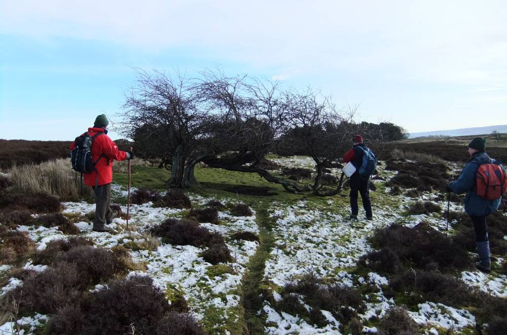
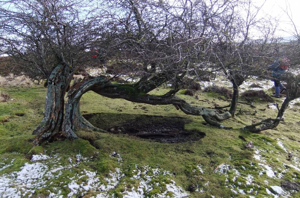
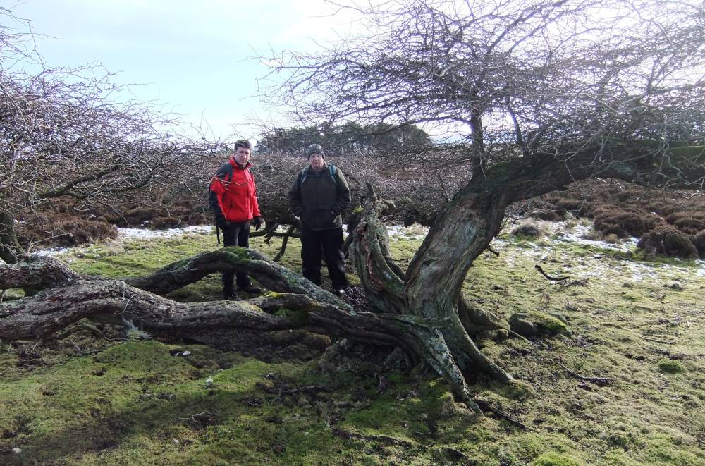
| Image 5 Description | Ancient hawthorn, one of several similar trees on the Range. |  |
| Image 6 ID | 2175 Click image to enlarge |
| Image 6 Description | | 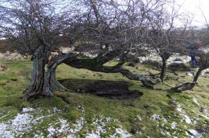 |
| Image 7 ID | 2176 Click image to enlarge |
| Image 7 Description | | 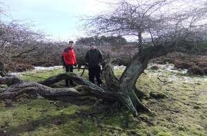 |
| Image 8 ID | 2177 Click image to enlarge |
| Image 8 Description | Hollow Ways, the roads to the Preston Moor Colliery and Plantation. | 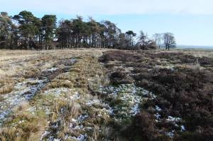 |
| Image 9 ID | 2178 Click image to enlarge |
| Image 9 Description | Approach to the small standing stone and barrow with views southward to the Vale of Mowbray | 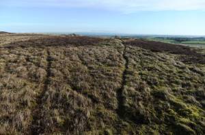 |
| Image 10 ID | 2169 Click image to enlarge |
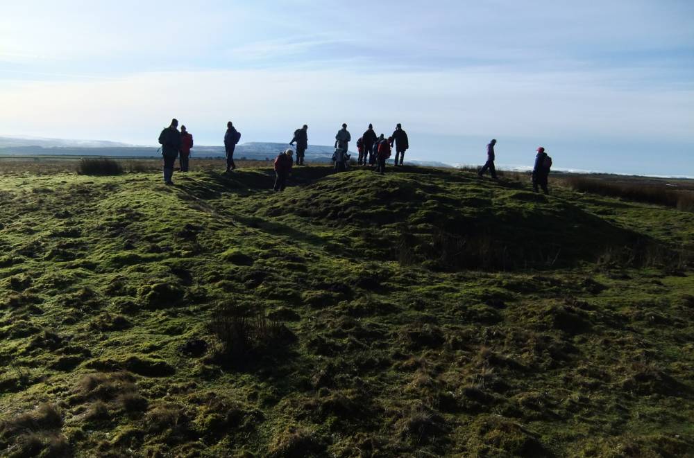
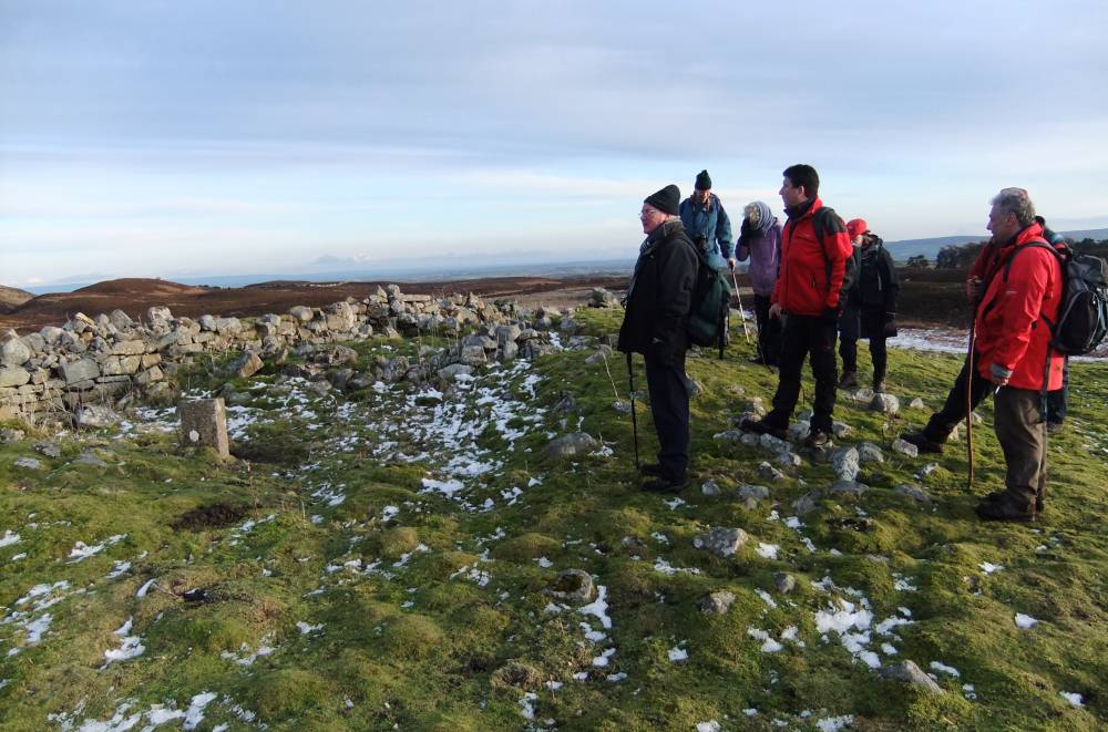
| Image 10 Description | At the hengiform barrow |  |
| Image 11 ID | 2182 |
| Image 11 Description | Lunch at Park Gill Head Beck | 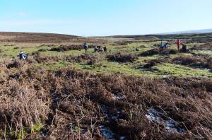 |
| Image 12 ID | 2183 |
| Image 12 Description | Chara aspera in Park Gill Beck. An indicator of highest water quality. | 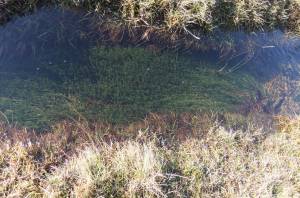 |
| Image 13 ID | 2184 |
| Image 13 Description | Chara aspera in Park Gill Beck. | 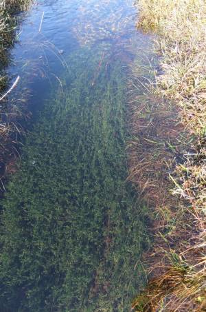 |
| Image 14 ID | 2185 |
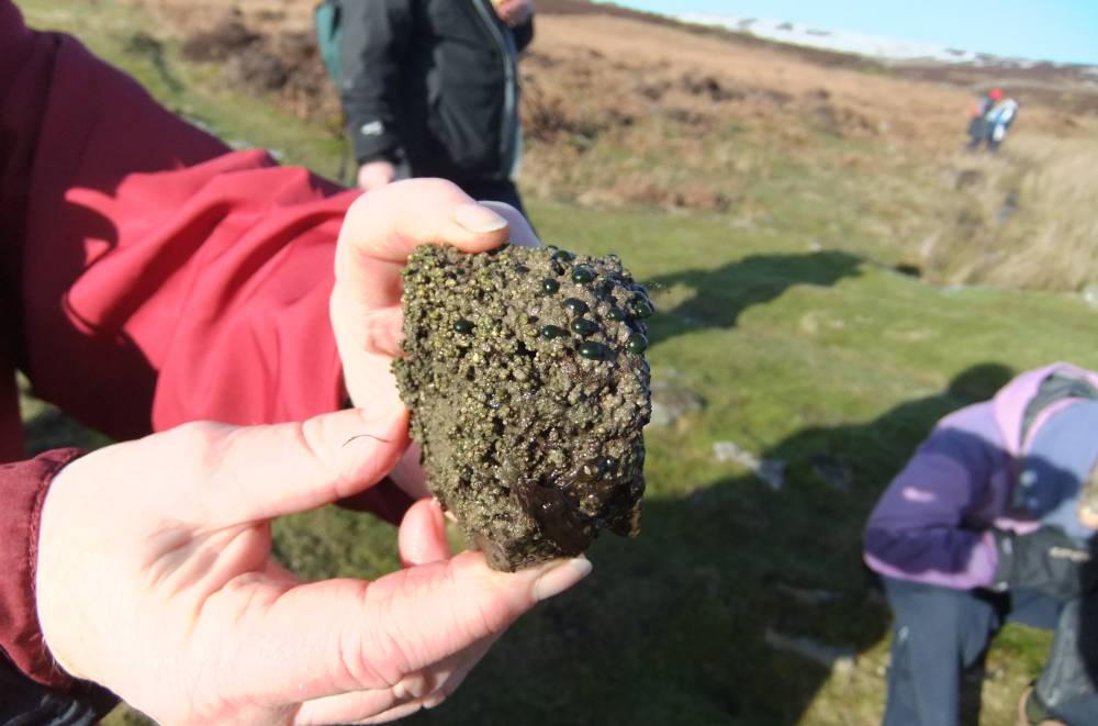
| Image 14 Description | Tufa coated stone with algal colonies from bed of stream, Park Gill Beck. |  |
| Image 15 ID | 2186 |
| Image 15 Description | Northern end of proposed new range and view towards Whinfell. | 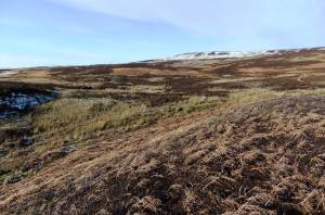 |
| Image 16 ID | 2187 |
| Image 16 Description | | 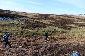 |
| Image 17 ID | 2188 |
| Image 17 Description | Hollow way leaving Black Beck Gill | 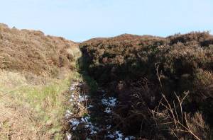 |
| Image 18 ID | 2189 |
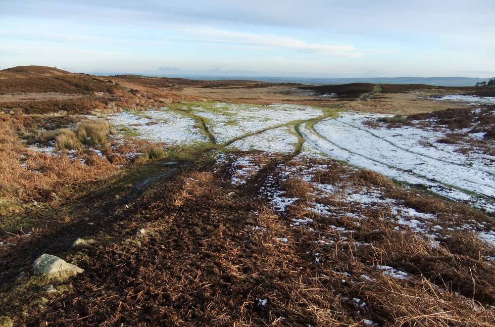
| Image 18 Description | Northern end of proposed new range. |  |
| Image 19 ID | 2190 |
| Image 19 Description | Black Beck House | 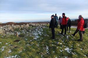 |