|
| *****SWAAG_ID***** | 427 |
| Date Entered | 12/01/2012 |
| Updated on | 22/08/2012 |
| Recorded by | Tim Laurie |
| Category | Settlement |
| Record Type | Archaeology |
| SWAAG Site Name | |
| Site Type | |
| Site Name | |
| Site Description | |
| Site Access | Private |
| Location | Hurst. Schoolmaster Pasture. Rispey Wood. |
| Civil Parish | Marrick |
| Brit. National Grid | NZ 06123 04442 |
| Altitude | 320m |
| Geology | Drift or talus slope below quarried sandstone. |
| Record Name | Hurst. Schoolmaster Pasture. Rispey Wood. Enclosed Settlement |
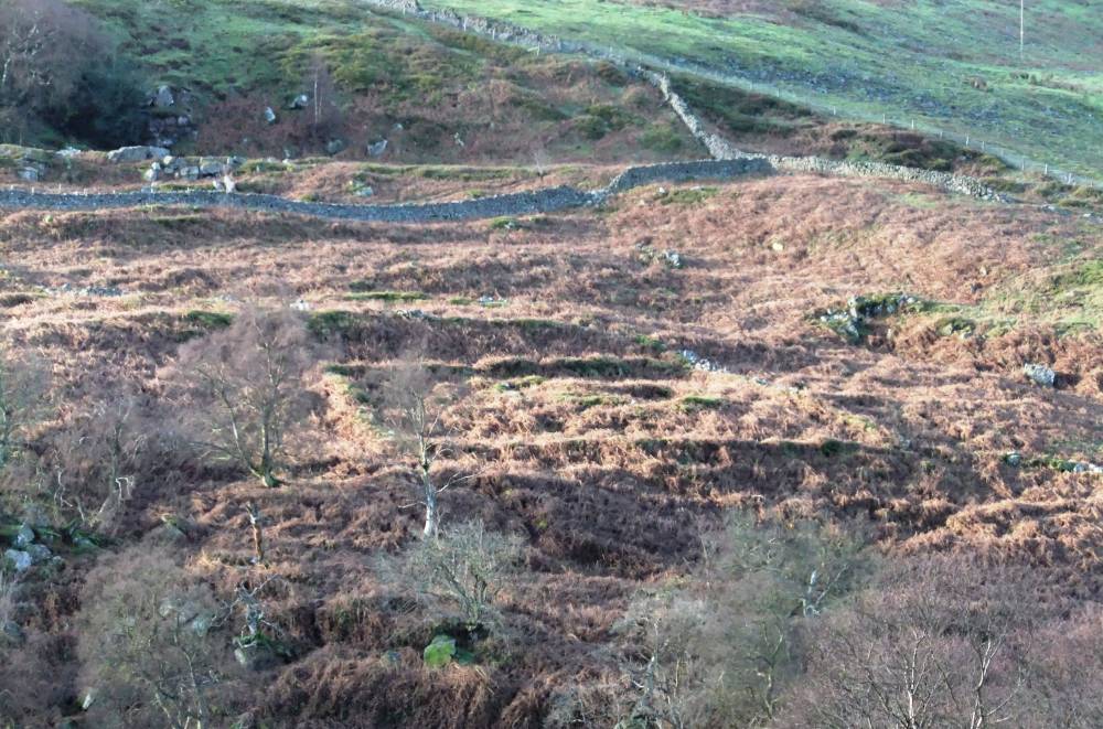
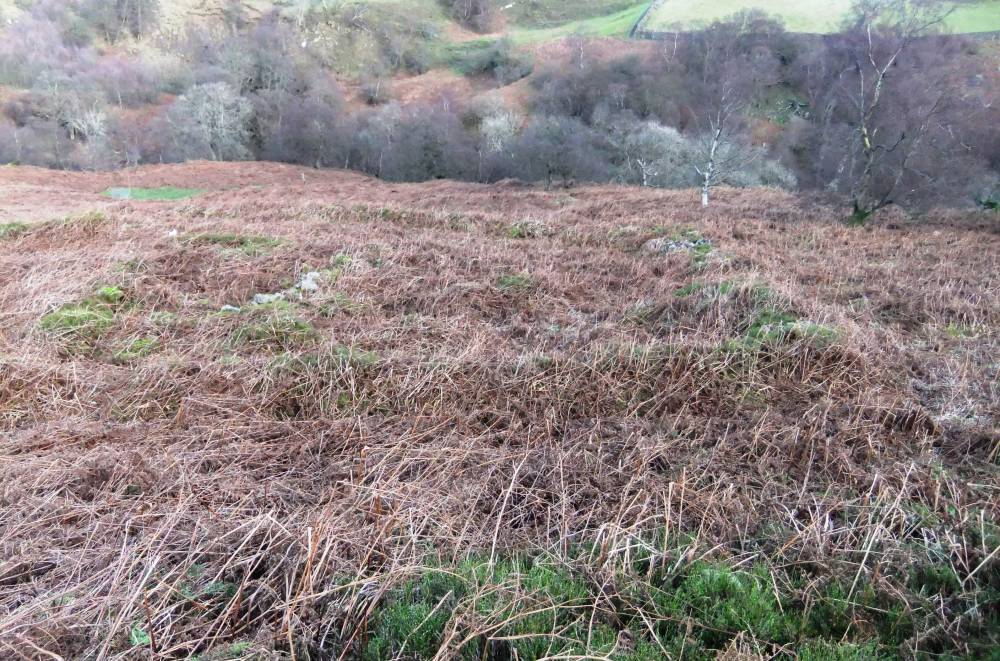
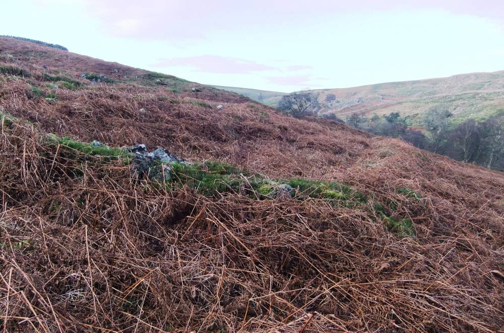
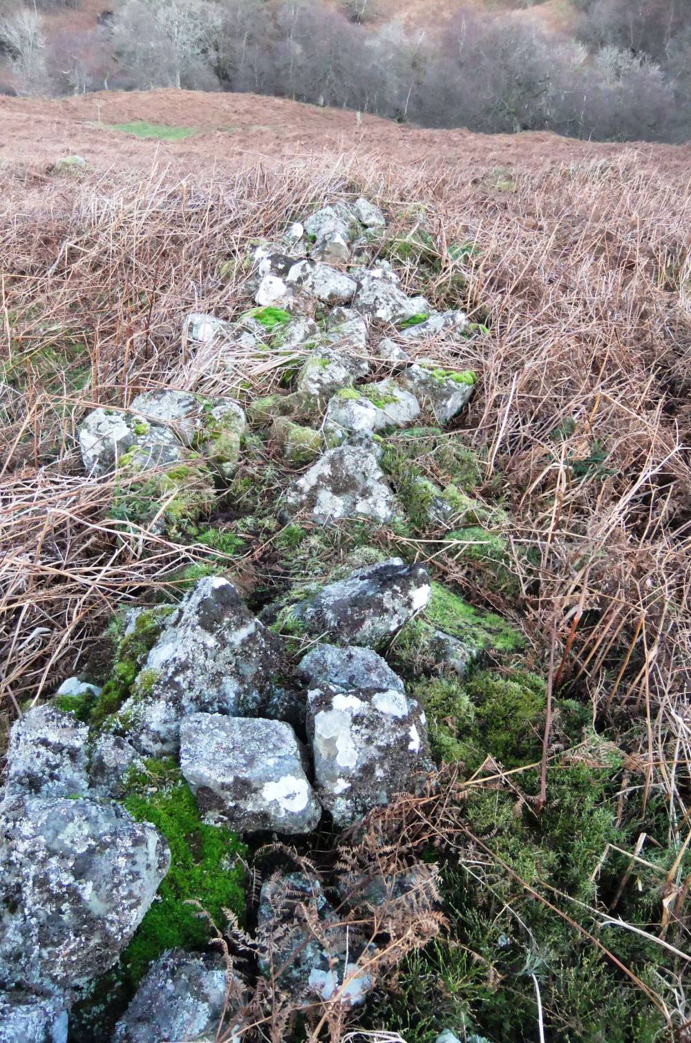
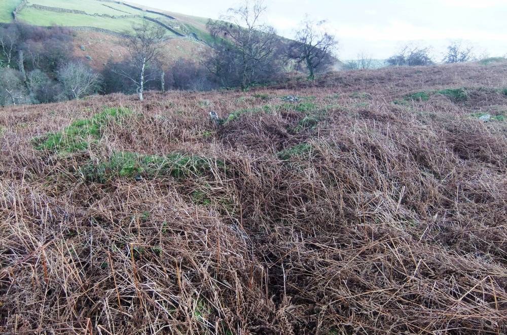
| Record Description | Unsurveyed.This very unusual site is located at Rispey Wood which is today abandoned and uncleared stone walled rough pasture or degraded woodland on the steep rough east facing dale/valley side above Kexwith Beck, see photo 1. This is extremely rough rocky ground in thickest bracken on a steep hillslope below a quarried outcrop of sandstone. There are no paths to this site and it is very difficult to see why such a substantial enclosed structure should have been constructed here. The upper part of the site is crossed by a later, early 18C ruined field wall.
The settlement site recorded here consists of a complex group of structures which includes a circular deeply recessed hut with what appears to be an eastern entrance lobby and several adjacent rectangular structures. These structures as a whole may have formed a single substantial multi roomed building within the rectangular walled yard. The enclosing wall is from 1.2- 1.5m thick and stands to a height of 1.5m at the rear and to about 1.0 m at the front. All the walls which form the structures are substantial and well preserved but tumbled under bracken. A contemporary field bank runs from the NE corner of the internal enclosure down to the west bank of Kexwith Beck. |
| Dimensions | Approximately 75m * 75m overall.Inner rectangular walled enclosure with central structures 30m*30m overall and building complex 30m*30m internally. Unsurveyed |
| Geographical area | |
| Species | |
| Scientific Name | |
| Common / Notable Species | |
| Tree and / or Stem Girth | |
| Tree: Position / Form / Status | |
| Tree Site ID | 0 |
| Associated Site SWAAG ID | 0 |
| Additional Notes | When first recognised some 30 years ago, I interpreted this settlement as a medieval shieling or summer shepherd's shelter. However, this is more substantial than the usual simple rectangular building characteristic of a shieling. I have now concluded that this compex structure could be associated with Medieval Forest or Deer Management, the residence of the New Forest Warden or Verdurer. To sum up, the site is undated and undateable due to the absence of any finds and depth of the bracken litter which covers and masks the ground surface. It is very well worth a visit although a real strggle to reach, either from below or above. |
| Image 1 ID | 2044 Click image to enlarge |
| Image 1 Description | Rispey Wood Settlement from the pastures below West House. | 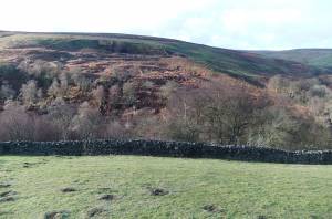 |
| Image 2 ID | 2045 Click image to enlarge |
| Image 2 Description | Rispey Wood Settlement from the pastures below West House. Detail | 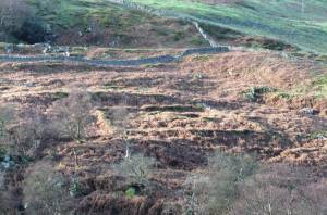 |
| Image 3 ID | 2046 Click image to enlarge |
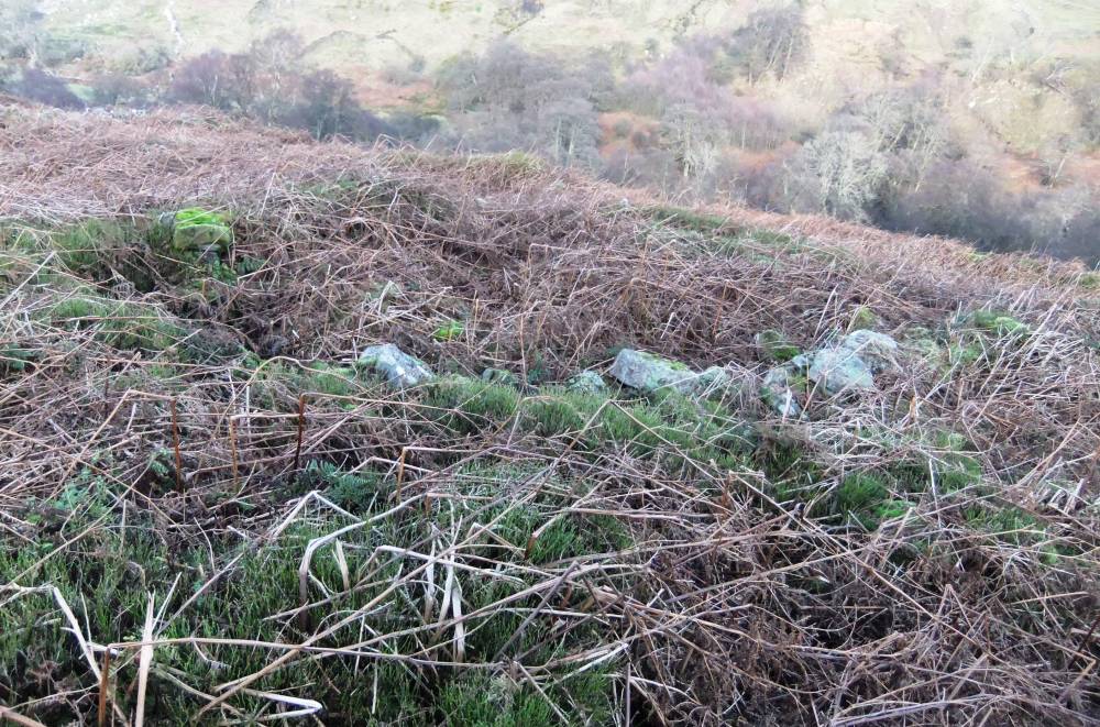
| Image 3 Description | The inner enclosure from above, west. | 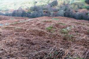 |
| Image 4 ID | 2047 Click image to enlarge |
| Image 4 Description | The inner enclosure from above, west. |  |
| Image 5 ID | 2048 Click image to enlarge |
| Image 5 Description | SE Corner of the enclosure wall | 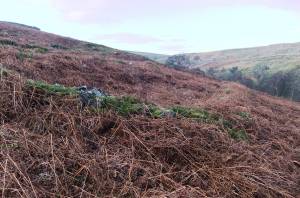 |
| Image 6 ID | 2049 Click image to enlarge |
| Image 6 Description | Enclosure wall, south side. |  |
| Image 7 ID | 2050 Click image to enlarge |
| Image 7 Description | The structure, detail. | 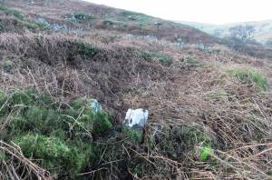 |
| Image 8 ID | 2053 Click image to enlarge |
| Image 8 Description | The circular structure. | 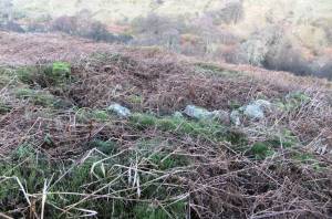 |
| Image 9 ID | 2051 Click image to enlarge |
| Image 9 Description | The circular building. | 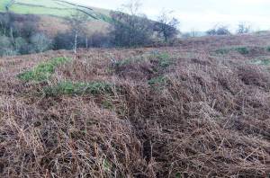 |