|
| *****SWAAG_ID***** | 426 |
| Date Entered | 10/01/2012 |
| Updated on | 11/01/2012 |
| Recorded by | Tim Laurie |
| Category | Geological Record |
| Record Type | Geological HER |
| SWAAG Site Name | |
| Site Type | |
| Site Name | |
| Site Description | |
| Site Access | Public Footpath |
| Record Date | 09/01/2011 |
| Location | New Forest CP. Holgateand Kexwith Beck. |
| Civil Parish | New Forest |
| Brit. National Grid | NZ 0650 0400 |
| Altitude | 300m |
| Geology | Steeply dipping chert strata of the ?Underset Limestone series within a fault zone on the eastern side of Kexwith Beck above and to the north of The Goats Bridge. The Underset Limestone forms the upper slopes and and the Main Limestone forms the summit of Holgate How at an elevation some 200m above the stream. The exposed face of the strata fall from the north to the south near Goats Bridge at NZ06500400 and in the opposite direction from south to north in a low cliff at stream level on the east bank of Kexwith Beck also at 300m elevation. Is this structure above Kexwith Beck an anticline? For details of the faulted strata at this location and to make your own interpretation of the strata here, See BGS Solid and Drift Edition, Sheet 41, Richmond. BGS Geological Maps are readily obtainable at a very reasonable price by return of post by a telephone call to 08454560420. |
| Record Name | New Forest CP. Holgate and Kexwith Beck. Fault Zone.?Anticline structure. |
| Record Description | To follow, further site visit required. |
| Dimensions | 500m in length |
| Geographical area | |
| Species | |
| Scientific Name | |
| Common / Notable Species | |
| Tree and / or Stem Girth | |
| Tree: Position / Form / Status | |
| Tree Site ID | 0 |
| Associated Site SWAAG ID | 0 |
| Additional Notes | |
| Image 1 ID | 2036 Click image to enlarge |
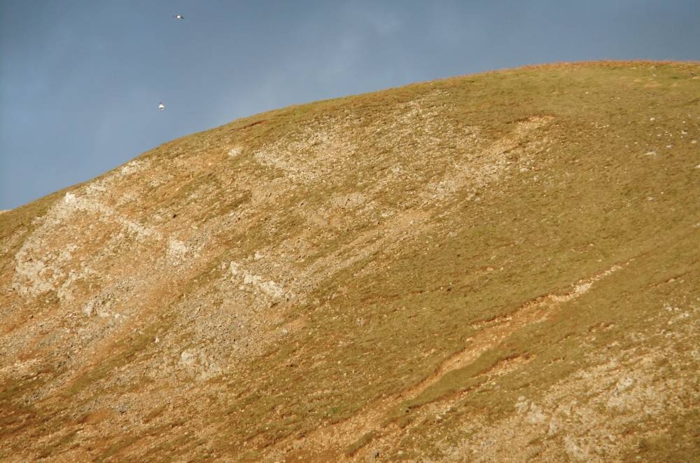
| Image 1 Description | Holgate. Chert strata dipping from north to south. |  |
| Image 2 ID | 2039 Click image to enlarge |
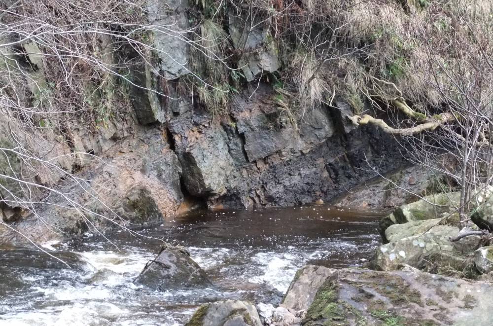
| Image 2 Description | Holgate. Chert strata some 250m above the Goats bridge forming small cliff at stream level, east bank. | 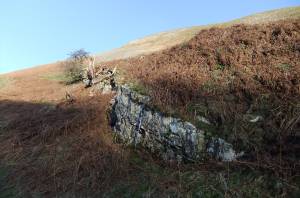 |
| Image 3 ID | 2040 Click image to enlarge |
| Image 3 Description | Holgate. Chert strata some 250m above the Goats bridge forming small cliff just above stream level dipping from north to south. | 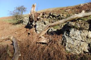 |
| Image 4 ID | 2037 Click image to enlarge |
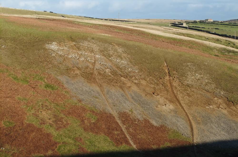
| Image 4 Description | Kexwith beck, 500m upstream. Sandstone and ?chert strata dipping from south to north | 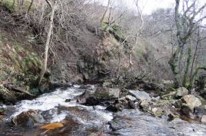 |
| Image 5 ID | 2038 Click image to enlarge |
| Image 5 Description | Kexwith beck, 500m upstream. Sandstone and ?chert strata dipping from south to north |  |
| Image 6 ID | 2041 Click image to enlarge |
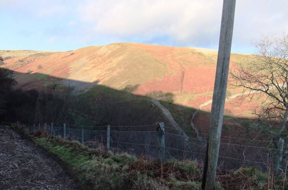
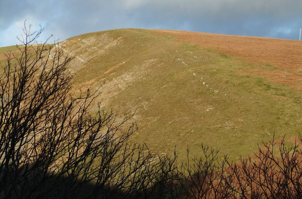
| Image 6 Description | Holgate. The southern leg of the anticline seen from Schoolmaster Pasture. | 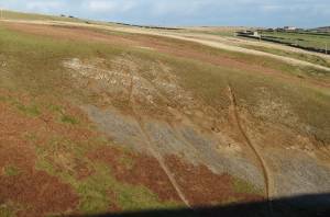 |
| Image 7 ID | 2042 Click image to enlarge |
| Image 7 Description | Holgate. The 'anticline' seen from the Goats Track. | 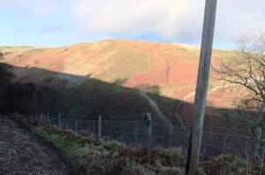 |
| Image 8 ID | 2043 Click image to enlarge |
| Image 8 Description | Holgate. The anticline seen from the Goats Track. | 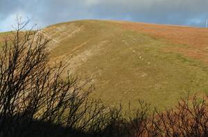 |