|
| *****SWAAG_ID***** | 438 |
| Date Entered | 26/01/2012 |
| Updated on | 26/01/2012 |
| Recorded by | Tim Laurie |
| Category | Settlement |
| Record Type | Archaeology |
| SWAAG Site Name | |
| Site Type | |
| Site Name | |
| Site Description | |
| Site Access | Public Footpath |
| Location | Redmire pasture |
| Civil Parish | Redmire |
| Brit. National Grid | SE 05149 92403 |
| Altitude | 320 |
| Geology | Talus slope below Redmire Scar which is the surviving remnant of the heavily quarried Main Limestone forms the south facing Uppermost Scar overlooking Wenseydale. |
| Record Name | Unenclosed settlement at Redmire Pasture. |
| Record Description | On grounds that the sum of the parts are greater than the individual componants or sites, this record will detail the many different sites at this location which together provide an insight into the nature of Bronze Age Settlement.
This settlement complex is comprised of: firstly a large unenclosed house platform at the above grid reference with rear scarp and frontal apron cut into the hillslope, approximately 18m *16m overall. Secondly a series of platforms (see feature schedule below) on the lower slopes. Thirdly well defined hollow ways which may relate to these settlements. Fourthly at least three burnt mounds. Fifth, at least eight stone cairns and finally areas with charcoal concentrations and lithic finds.
Note! Whereas this location is within Redmire Parish, this complex of sites are more sensibly included with the SWAAG Preston Moor Study Area. |
| Dimensions | 500m*500m Minimum |
| Geographical area | |
| Species | |
| Scientific Name | |
| Common / Notable Species | |
| Tree and / or Stem Girth | |
| Tree: Position / Form / Status | |
| Tree Site ID | 0 |
| Associated Site SWAAG ID | 0 |
| Additional Notes | This previously unrecorded Bronze Age Settlement Complex is on limestone at a well watered, south facing elevated location very attractive to settlement. The surviving componants which are detailed here may be just the remnant of a settlement complex once much more extensive but now alas, largely quarried away with no record.
The worked out quarry above is very large and has completely removed the area of limestone pasture above this settlement complex.
However, the large well preserved Ring Cairn at Thorny Bank Hill together with the fragmentary field system and the two burnt mounds nearby (SE050933,380M, CENTRE) which have been previously recorded (Laurie 2003, 2004)may represent the northern limits of this settlement complex.
Feature Complex: To follow. |
| Image 1 ID | 2144 Click image to enlarge |
| Image 1 Description | Redmire Pasture. Burnt Mound in foreground. Unenclosed round house is parch mark in distance short of wall |  |
| Image 2 ID | 2145 Click image to enlarge |
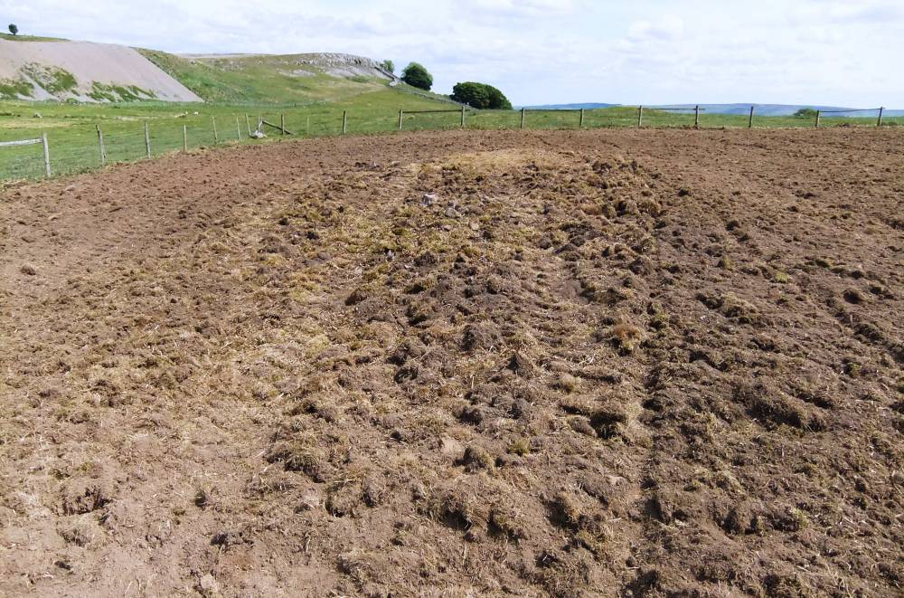
| Image 2 Description | Redmire Pasture. Burnt Mound in foreground revealed after ploughing and reseeding pasture. | 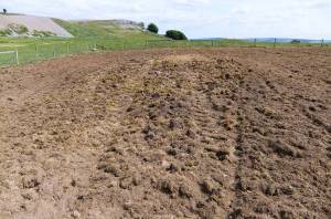 |
| Image 3 ID | 2146 Click image to enlarge |
| Image 3 Description | Redmire Pasture. Burnt Mound in foreground revealed after ploughing and reseeding pasture. | 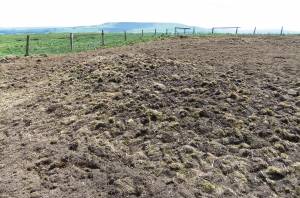 |
| Image 4 ID | 2147 Click image to enlarge |
| Image 4 Description | Redmire Pasture. Burnt Mound in foreground revealed after ploughing and reseeding pasture. | 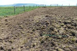 |
| Image 5 ID | 2148 Click image to enlarge |
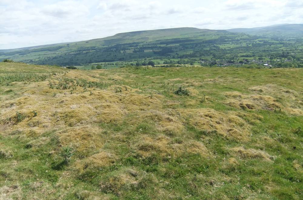
| Image 5 Description | Redmire Pasture. Round House Platform. View southward to Penhill. | 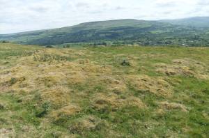 |
| Image 6 ID | 2149 Click image to enlarge |
| Image 6 Description | Redmire Pasture. Round House Platform. View south west to Bishopedale | 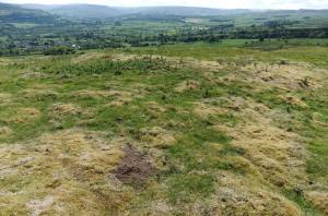 |
| Image 7 ID | 2150 Click image to enlarge |
| Image 7 Description | Redmire Pasture. Round House Platform. View west towards Low Scar and Bolton East Parks | 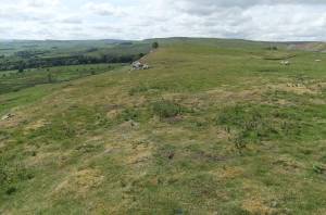 |