|
| *****SWAAG_ID***** | 636 |
| Date Entered | 03/11/2012 |
| Updated on | 06/11/2012 |
| Recorded by | Tim Laurie |
| Category | Geological Record |
| Record Type | Geological HER |
| SWAAG Site Name | |
| Site Type | |
| Site Name | |
| Site Description | |
| Site Access | Public Footpath |
| Record Date | 22/07/2012 |
| Location | The RiverTees downstream from Cronkley Bridge to High Force. |
| Civil Parish | Holwick |
| Brit. National Grid | NY 880 283 |
| Altitude | 350m-270m |
| Geology | River, valley and gorge scenery dominated by the Whin Cill. |
| Record Name | The Upper Teesdale. Whin Cill scenery of the River Tees downstream from Cronkley Bridge to High Force. |
| Record Description | This record shows the nature of the scenery of the River Tees from Cronkley Brifge downstream to the High Force which is dominated by the presence of the dolerite igneous intrusive Whin Cill. |
| Dimensions | See photofile |
| Geographical area | |
| Species | |
| Scientific Name | |
| Common / Notable Species | |
| Tree and / or Stem Girth | |
| Tree: Position / Form / Status | |
| Tree Site ID | 0 |
| Associated Site SWAAG ID | 0 |
| Additional Notes | This length of the River Tees above the High Force is not only fine scenery but is, together with Crossthwite Common and Holwick Fell also the location of a wealth of archaeological sites of different periods (Coggins, D. 'Upper Teesdale. Thearchaeology of a North Pennine Valley.' BAR British Series 150, 1986.) and was the scene of an intensive charcoal burning and iron smelting or bloomery industry, (Gledhill, T.2003. 'The Charcoal Iron Industry of Upper Teesdale.'Teesdale Record Society.
The archaeology of this area was surveyed and selectively excavated by the Late Dennis Coggins and by Ken Fairless over many years. A number of settlements sites which have their close analogues in Swaledale were surveyed, investigated and radiocarbon dated. These sites which range from lithic find sites and scatters marking the location of Mesolithic Hunter and Neolithic Period Occupation, the unenclosed round house settlement on Bracken Rig of Middle Bronze Age Date to farmstead settlements of Pre-Conquest Date and shielings of Medieval and Post Medieval date. Examples of these sites will be uploaded to the SWAAG Database with the purpose of encouraging members to visit these sites and to be aware of these sites a the closest references for many as yet undated Swaledale sites.
See photofile captions for brief explanatory details of features photographed. |
| Image 1 ID | 3633 Click image to enlarge |
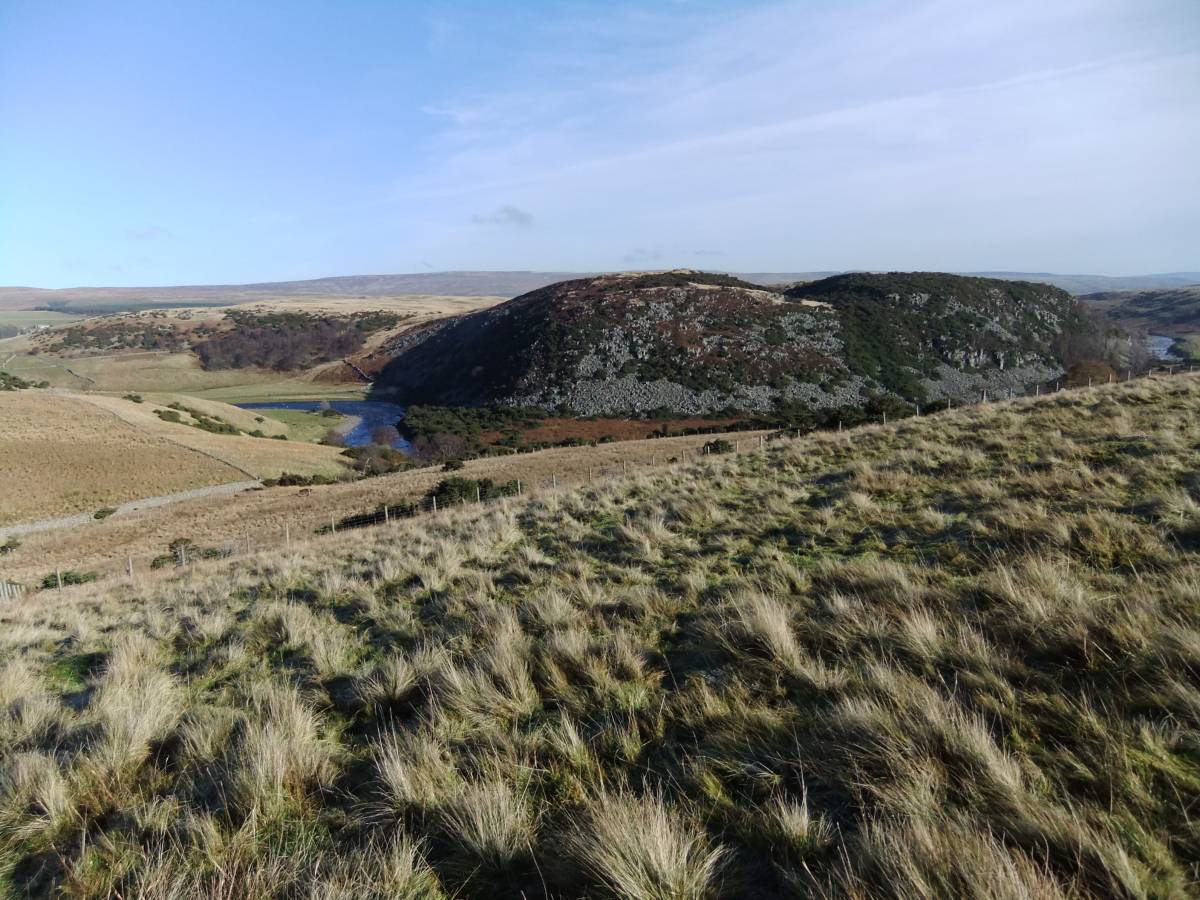
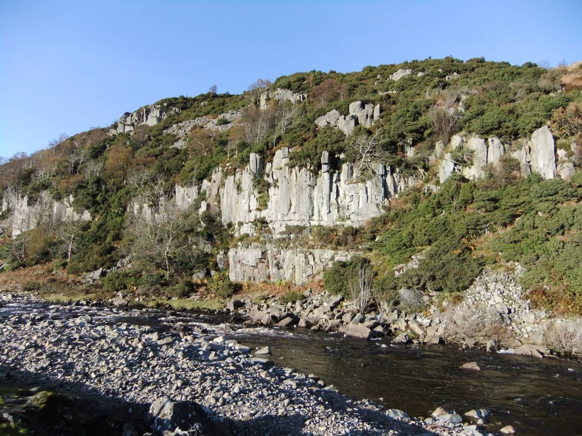
| Image 1 Description | River Tees and Dine Holm Scars from the Pennine Way at Bracken Rigg. | 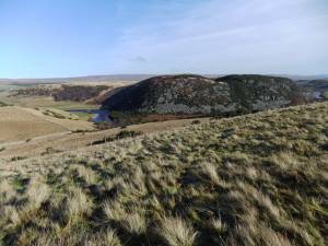 |
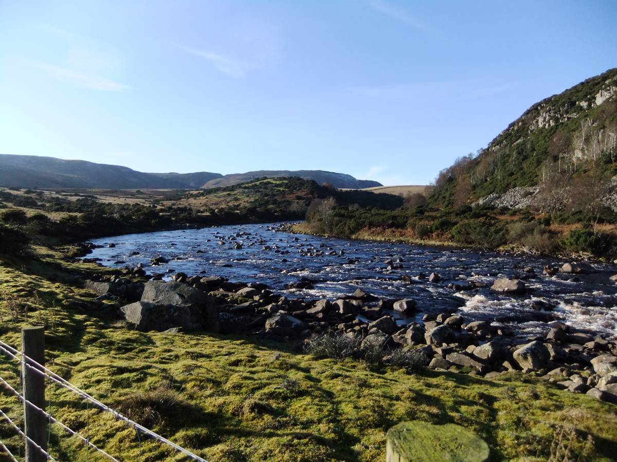
| Image 2 ID | 3611 Click image to enlarge |
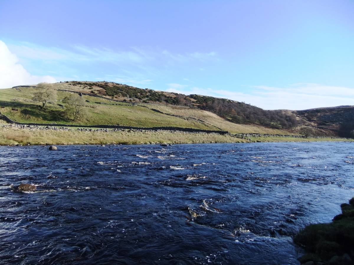
| Image 2 Description | River Tees at Cronkley Bridge. View downstream. | 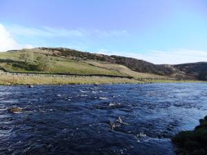 |
| Image 3 ID | 3612 Click image to enlarge |
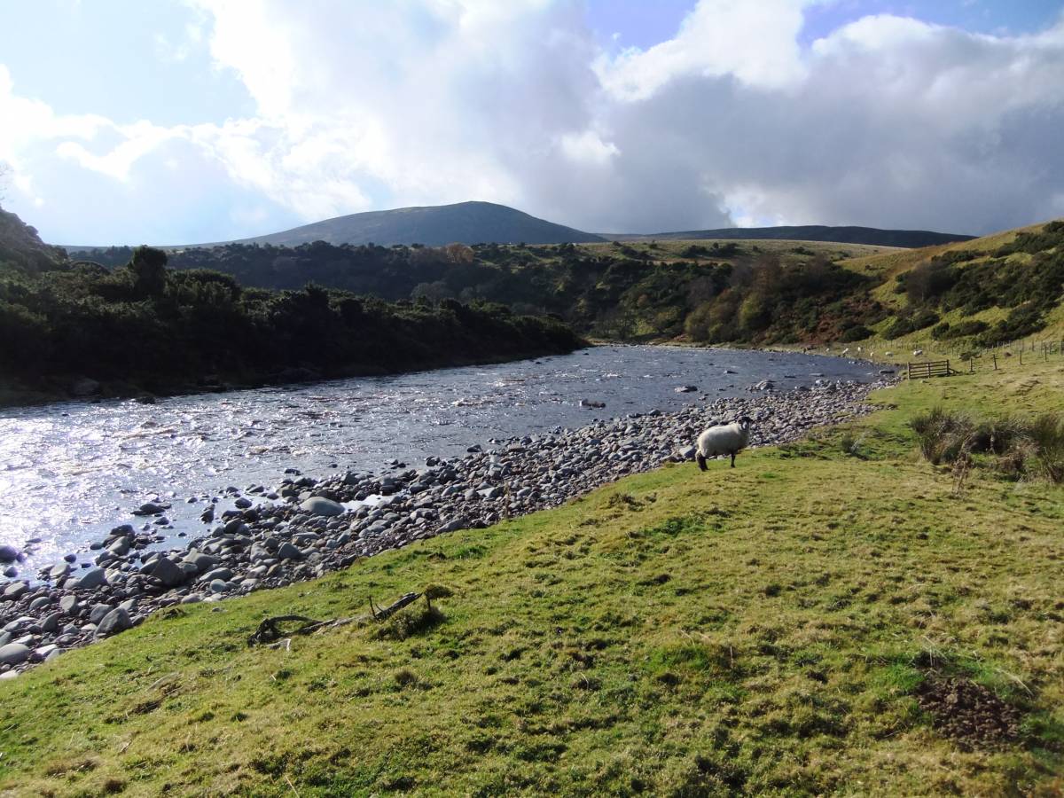
| Image 3 Description | River Tees, Calf Holm. | 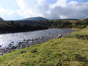 |
| Image 4 ID | 3613 Click image to enlarge |
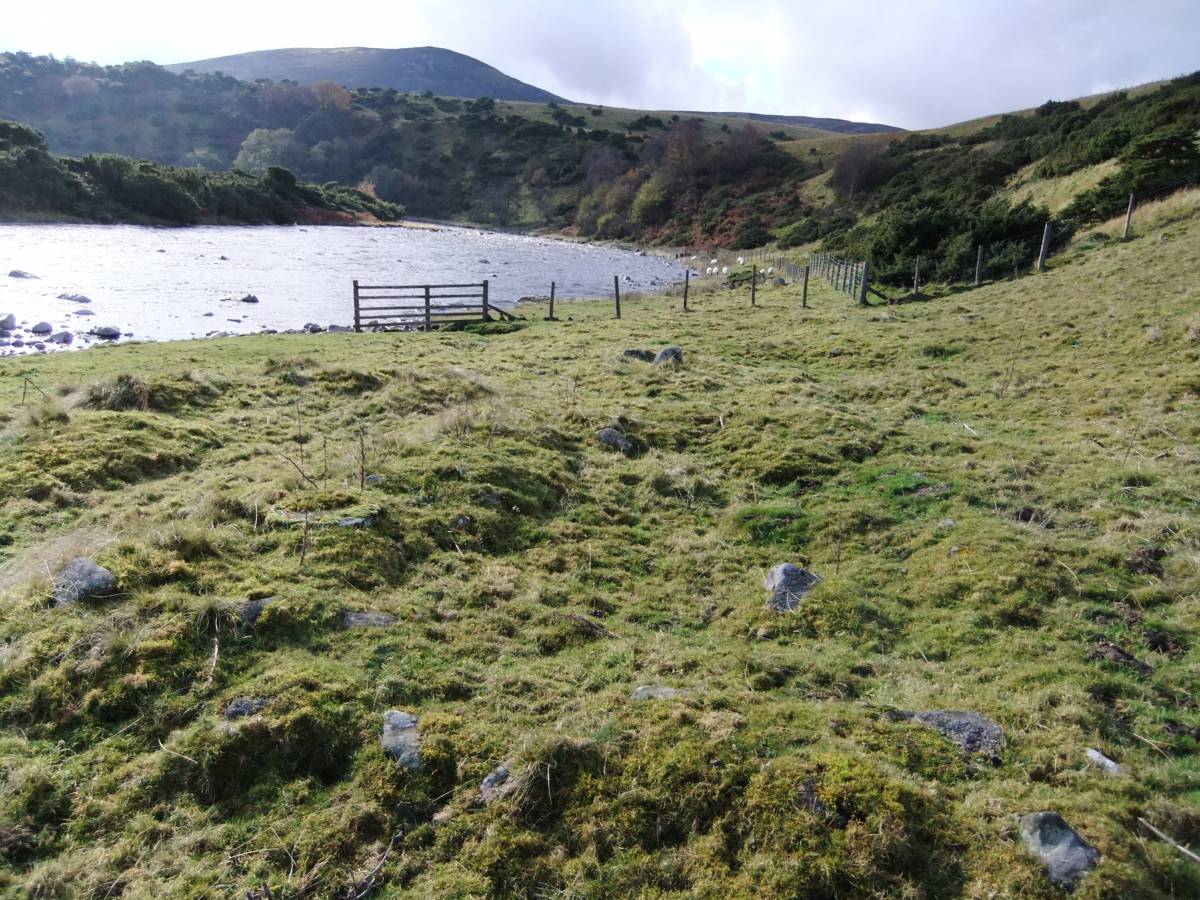
| Image 4 Description | River Tees, Shieling on river bank opposite Calf Holm. | 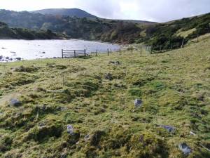 |
| Image 5 ID | 3614 Click image to enlarge |
| Image 5 Description | River Tees view upstream towards Currack Wood. One of the few remaining areas of Upland Birchwood - once the prevalent woodland present across Upper Teesdale. | 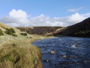 |
| Image 6 ID | 3615 Click image to enlarge |
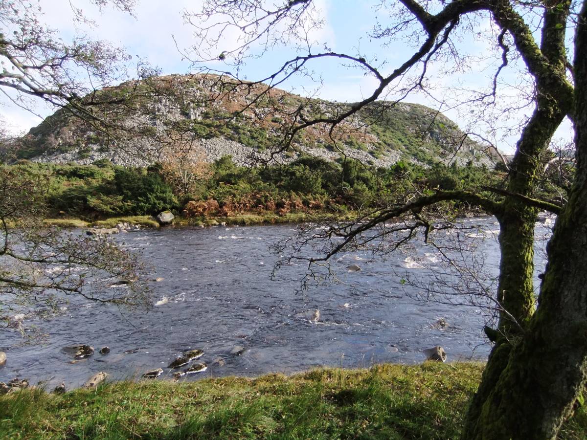
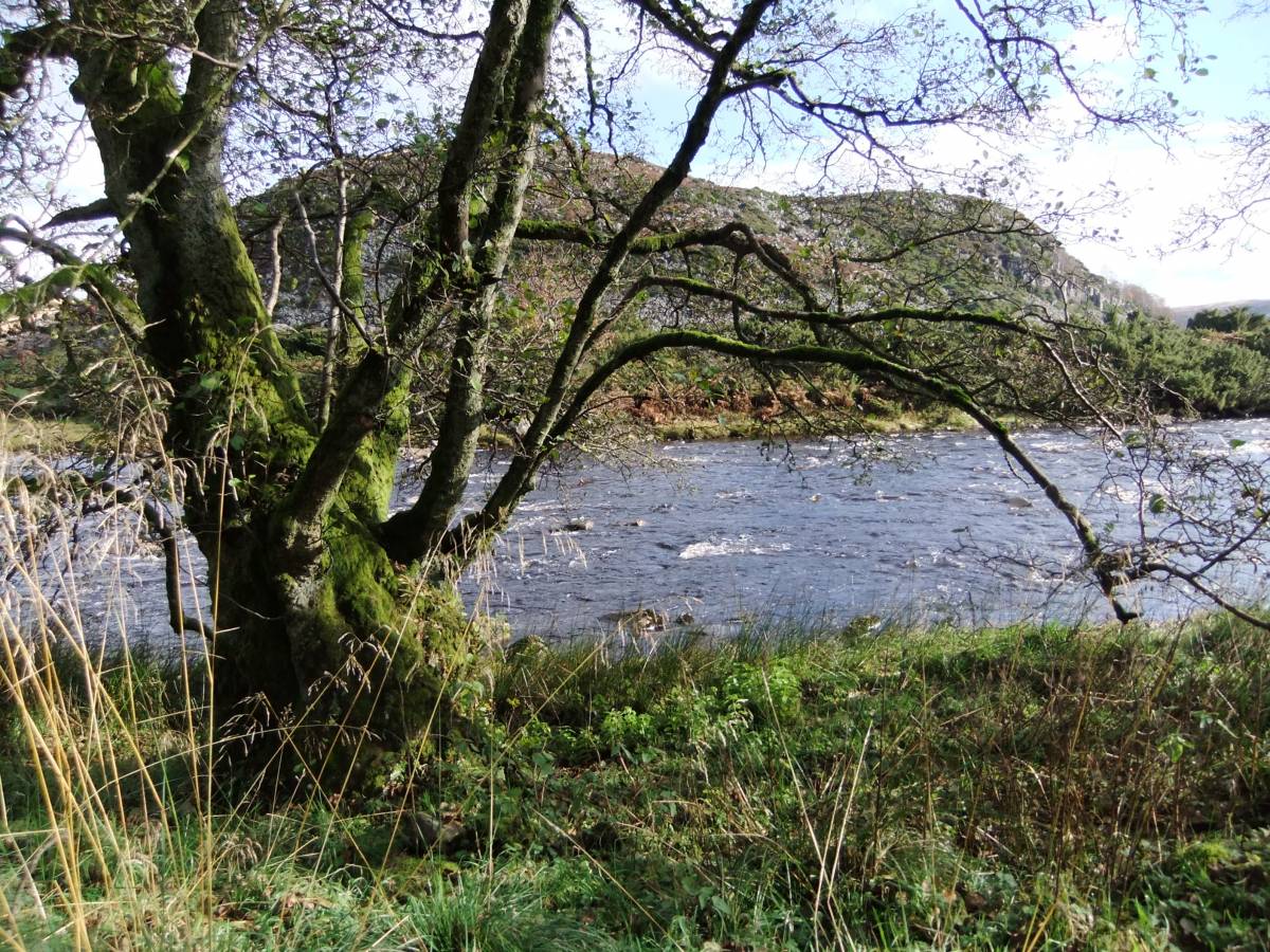
| Image 6 Description | Alders on the riverside, Dine Holm Scars in the background. |  |
| Image 7 ID | 3616 Click image to enlarge |
| Image 7 Description | Alders on the riverside, Dine Holm Scars in the background. |  |
| Image 8 ID | 3617 Click image to enlarge |
| Image 8 Description | Alders on the riverside, Dine Holm Scars in the background. | 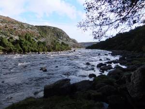 |
| Image 9 ID | 3618 Click image to enlarge |
| Image 9 Description | Downy birch with alders above the river. |  |
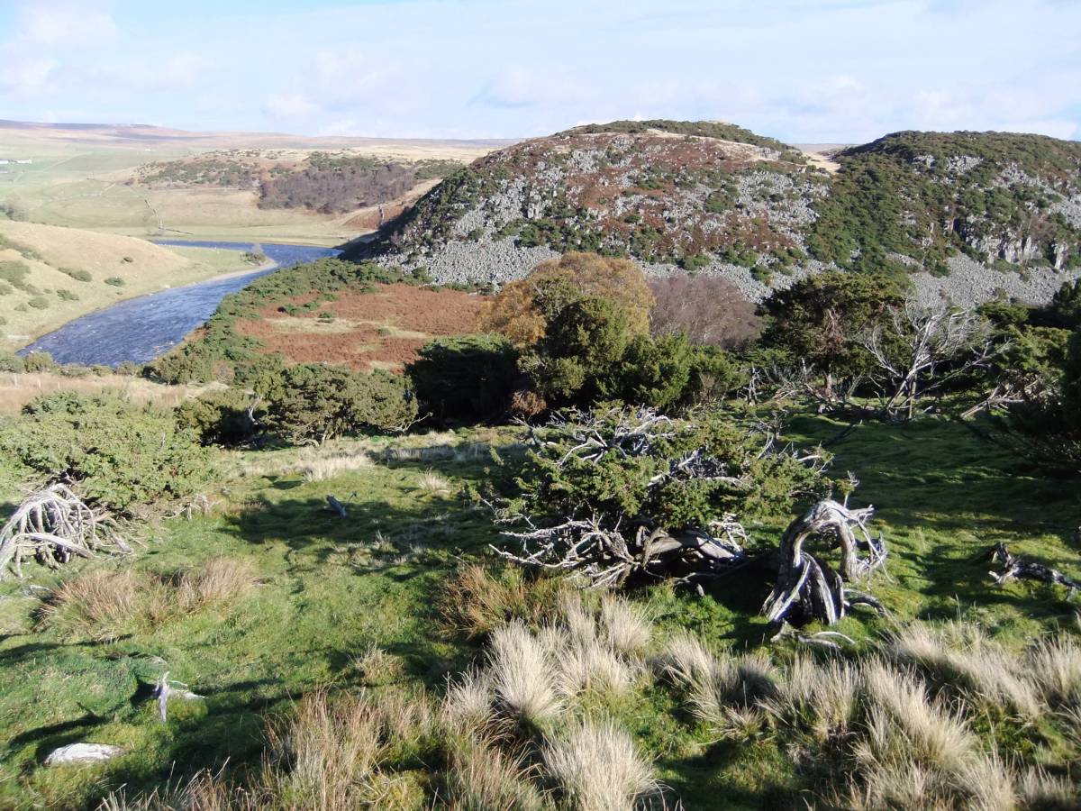
| Image 10 ID | 3619 Click image to enlarge |
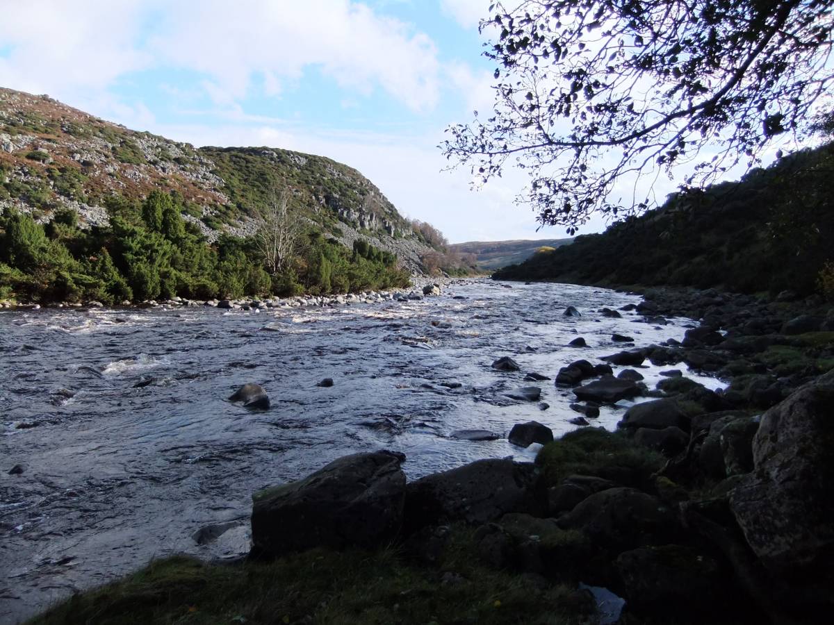
| Image 10 Description | Bends along the Tees and juniper scrub on the Whin Cill undisturbed at Dine Holm Scar. Quarried further downstream. | 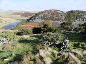 |
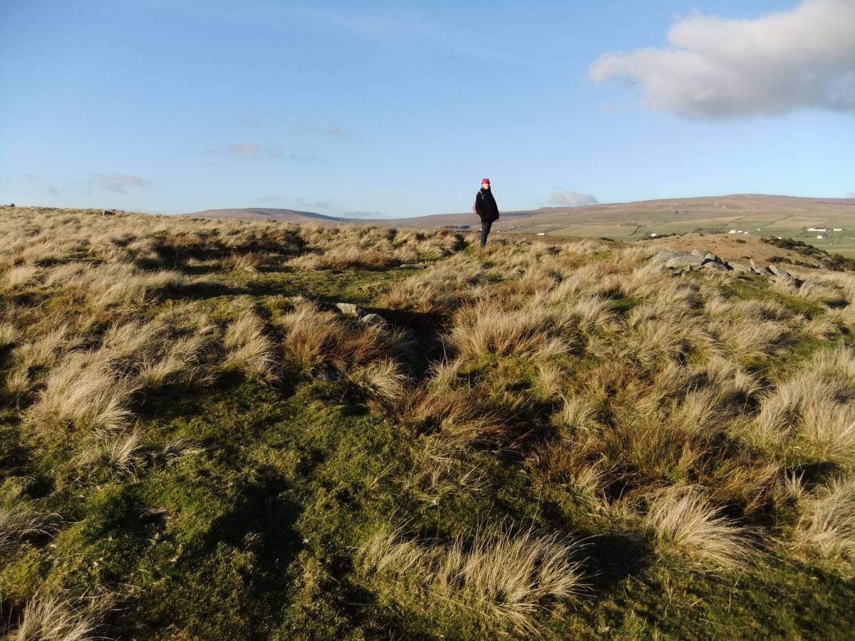
| Image 11 ID | 3634 |
| Image 11 Description | Bracken Rigg. Unenclosed round house settlement of MBA date near the Pennine Way. | 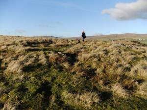 |
| Image 12 ID | 3635 |
| Image 12 Description | Iron Bloomery (mound of iron slag) next Skyer Beck, in foreground next the footbridge, with juniper. | 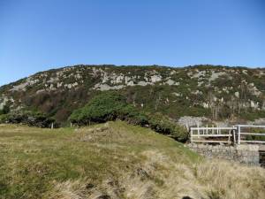 |
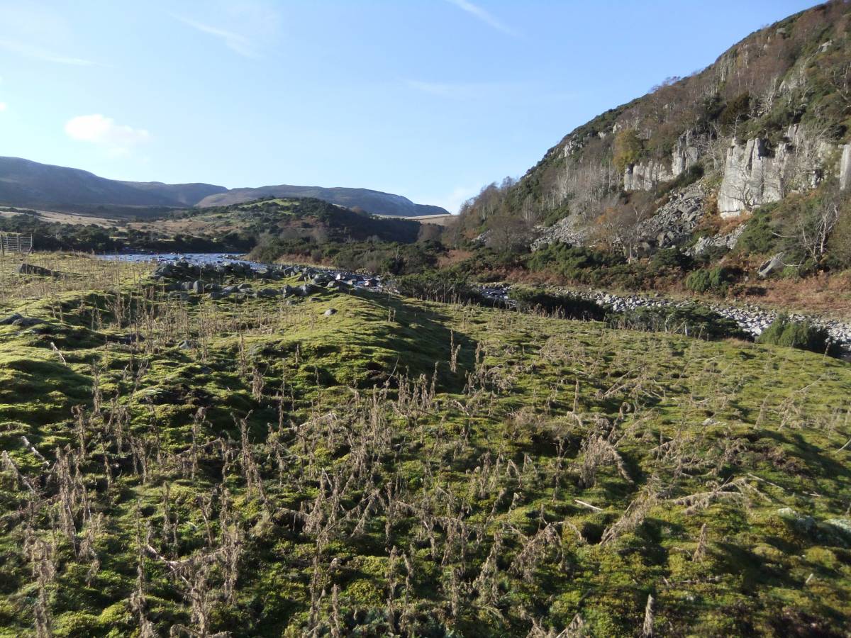
| Image 13 ID | 3636 |
| Image 13 Description | River Tees at pasture Foot. | 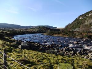 |
| Image 14 ID | 3637 |
| Image 14 Description | Rectangular building on south bank at Pasture Foot,undated but possibly a shieling or early medieval dwelling associated with the iron smelting industry. |  |
| Image 15 ID | 3638 |
| Image 15 Description | The whinstone cliffs upstream of the quarry,photgraphed from the Pennine Way, with native aspen and juniper. |  |
| Image 16 ID | 3639 |
| Image 16 Description | Juniper on the river bank at Calf Holm. These junipers show signs of infection from the Phytopthora austrocedrae pathogen, although inaccessible to walkers. | 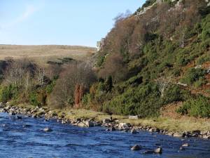 |
| Image 17 ID | 3640 |
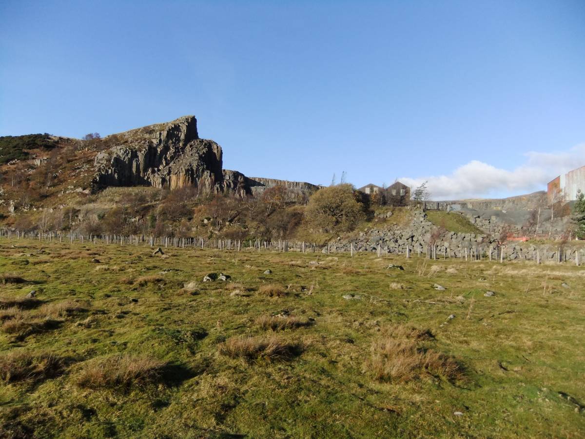
| Image 17 Description | The quarry on the whinstone cliffs above the High Force. | 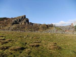 |
| Image 18 ID | 3620 |
| Image 18 Description | View upstream from the High Force, Upland birchwood on north bank. | 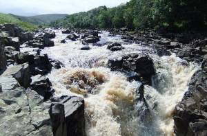 |
| Image 19 ID | 3621 |
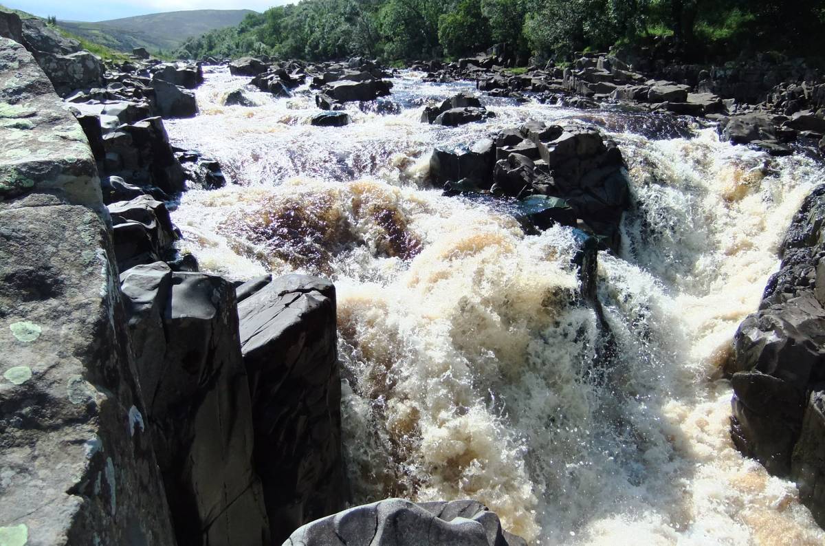
| Image 19 Description | The falls. | 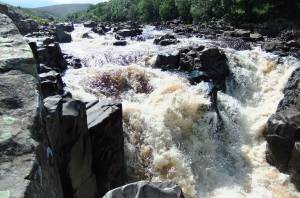 |
| Image 20 ID | 3622 |
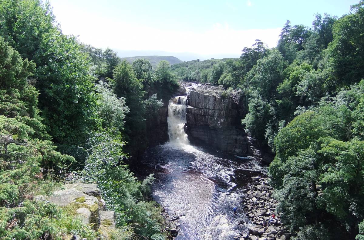
| Image 20 Description | The High Force. |  |
| Image 21 ID | 3623 |
| Image 21 Description | The High Force | 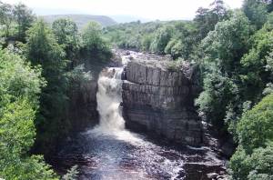 |
| Image 22 ID | 3624 |
| Image 22 Description | The falls and river gorge |  |