|
| *****SWAAG_ID***** | 645 |
| Date Entered | 24/11/2012 |
| Updated on | 24/11/2012 |
| Recorded by | Tim Laurie |
| Category | Geographical Record |
| Record Type | Northern Britain |
| SWAAG Site Name | |
| Site Type | |
| Site Name | |
| Site Description | |
| Site Access | Public Access Land |
| Record Date | 23/11/2012 |
| Location | Cotherstone Moor, Goldsborough Hill and Goldsborough Rigg. |
| Civil Parish | Cotherstone |
| Brit. National Grid | NY 955 177 |
| Altitude | 383m |
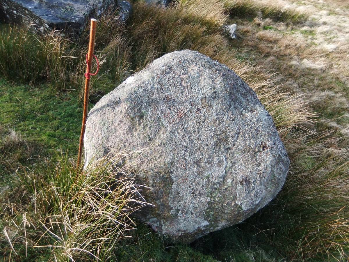
| Geology | Isolated 'nunatak' like hill capped with thick current bedded sandstones and with an elongated attached eastern ridge of boulder clay (crag and tail). This hill may look as though it had diverted the Stainmore Glacier, however the presence of two Lake District erratic boulders on the summit show that the glacier had over topped Shackleborough. |
| Record Name | Landscape and prehistory on Goldsborough Hill, Cotherstone Moor. |
| Record Description | This is a small photographic introduction to Goldsborough Hill, which together with Shacklesborough Hill some 5km further west, are prominent and isolated sandstone capped hills, distinctivelandmark features with special geological and prehistoric interest within a fine Teesdale Pennine Landscape,at the wild northern edge of Stainmore. |
| Dimensions | See photographs. |
| Geographical area | |
| Species | |
| Scientific Name | |
| Common / Notable Species | |
| Tree and / or Stem Girth | |
| Tree: Position / Form / Status | |
| Tree Site ID | 0 |
| Associated Site SWAAG ID | 0 |
| Additional Notes | See captions to photographs.
Individual features and archaeological sites on Goldsborough Hill, on Shacklesborough and at West Loups on the Battle Hill Ranges 2km to the east will be recorded severally and in more detail in further following SWAAG records. |
| Image 1 ID | 3722 Click image to enlarge |
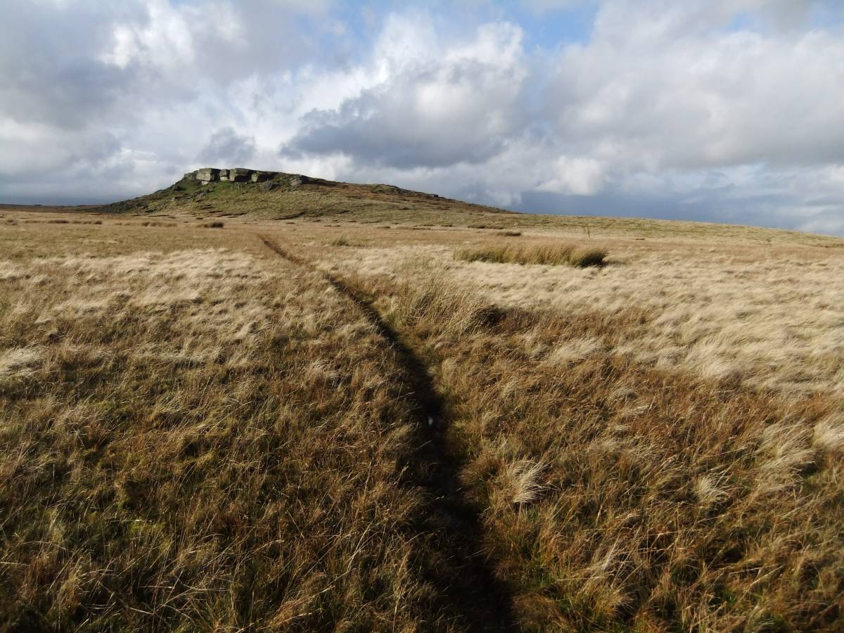
| Image 1 Description | Goldsborough from the Pennine Way, Bowes Diversion. | 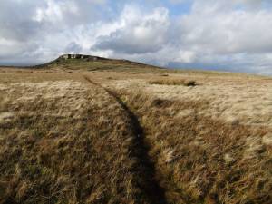 |
| Image 2 ID | 3723 Click image to enlarge |
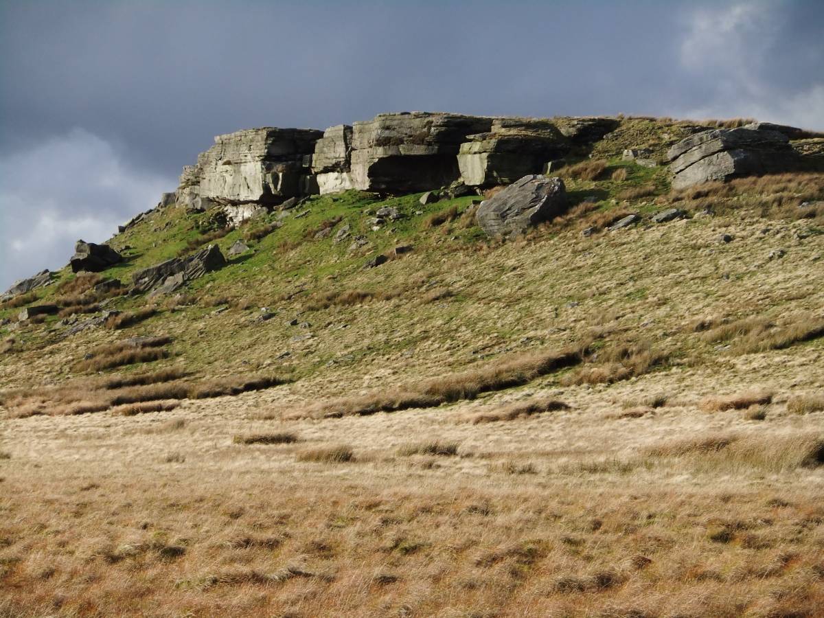
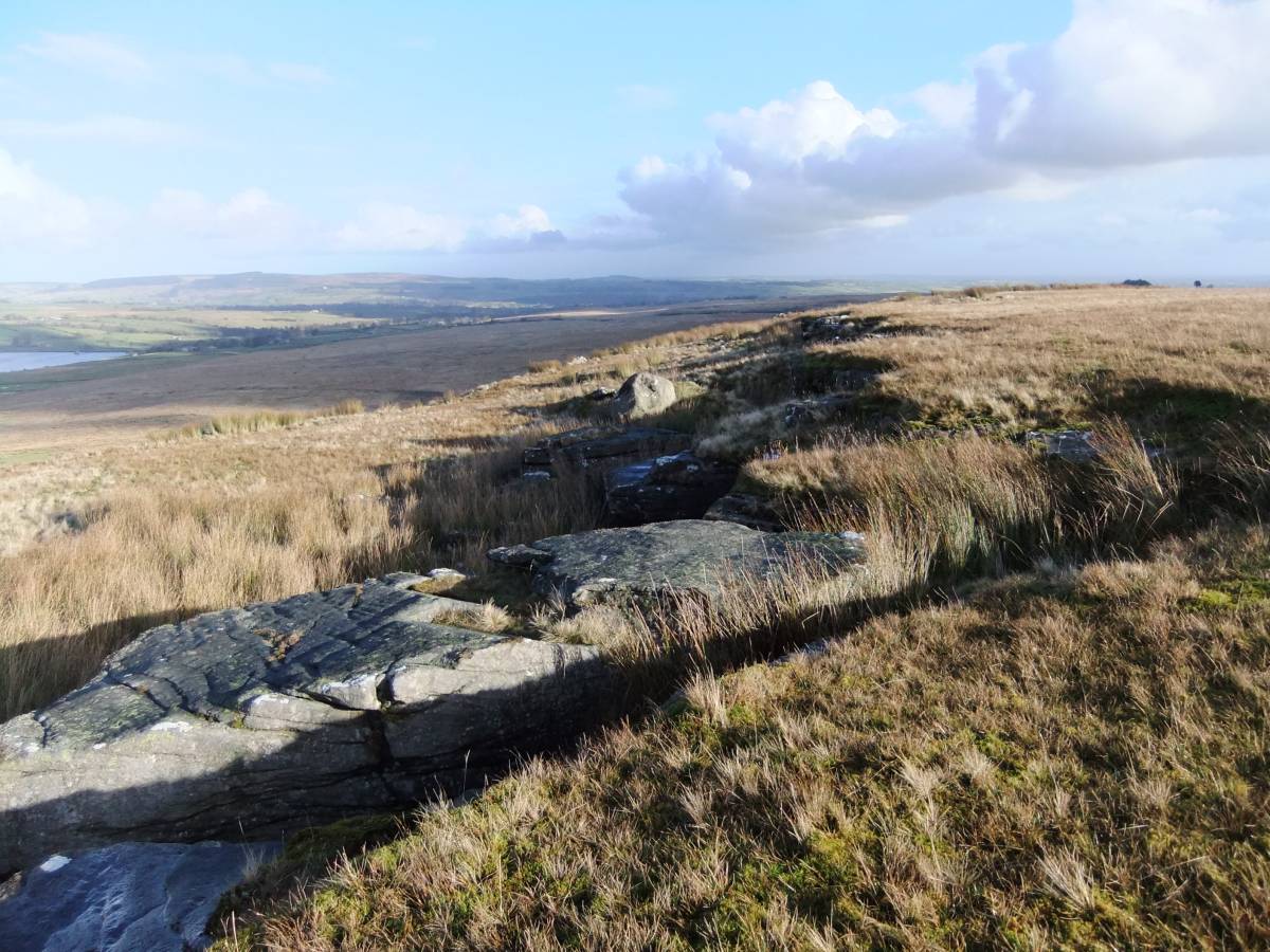
| Image 2 Description | Goldsborough, the southern crags. | 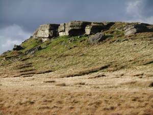 |
| Image 3 ID | 3724 Click image to enlarge |
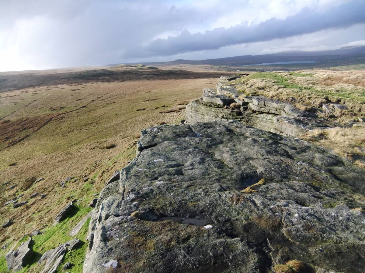
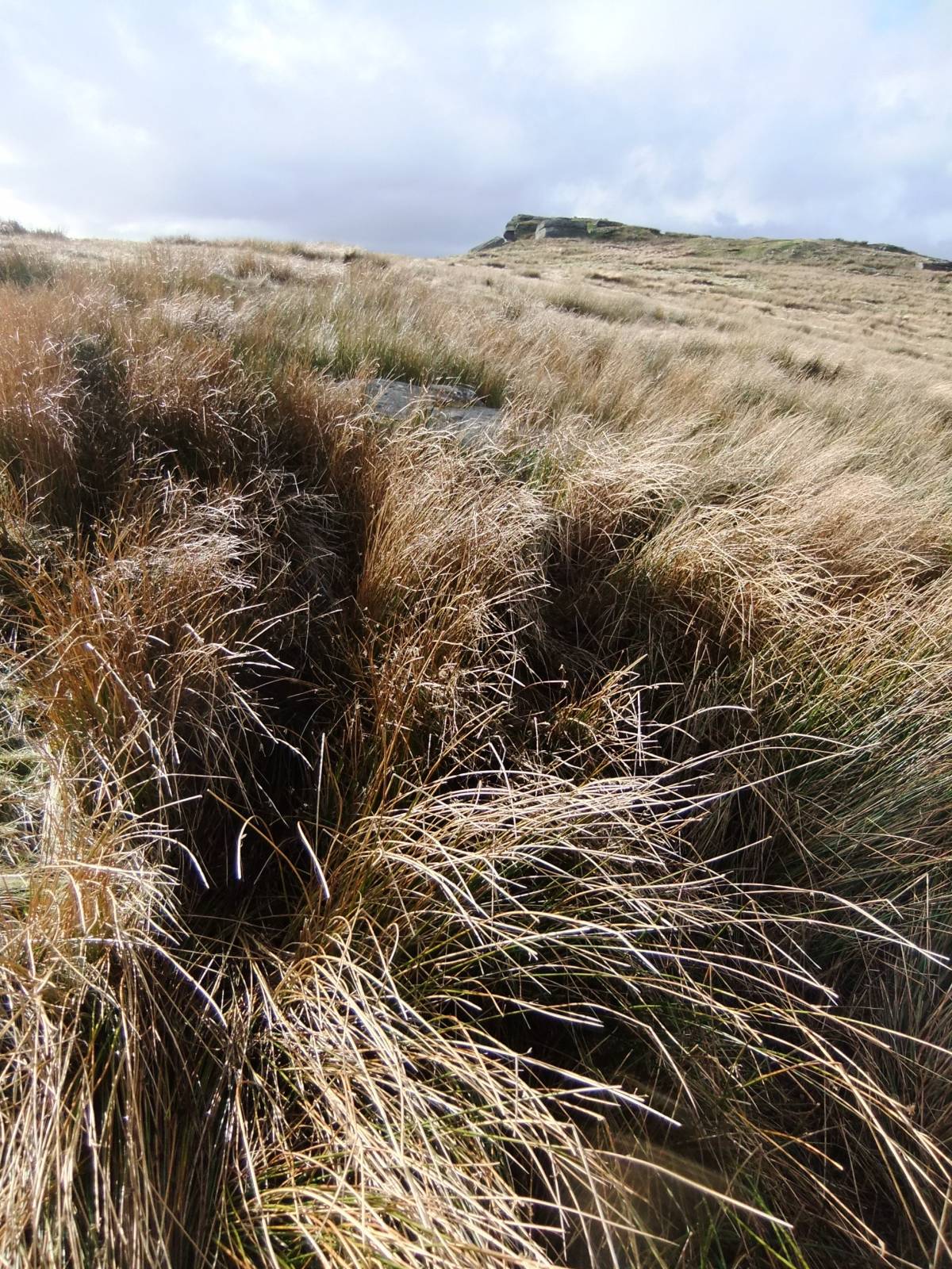
| Image 3 Description | Goldsborough. View westward towards Shacklesborough from the summit. | 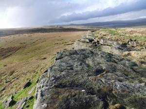 |
| Image 4 ID | 3725 Click image to enlarge |
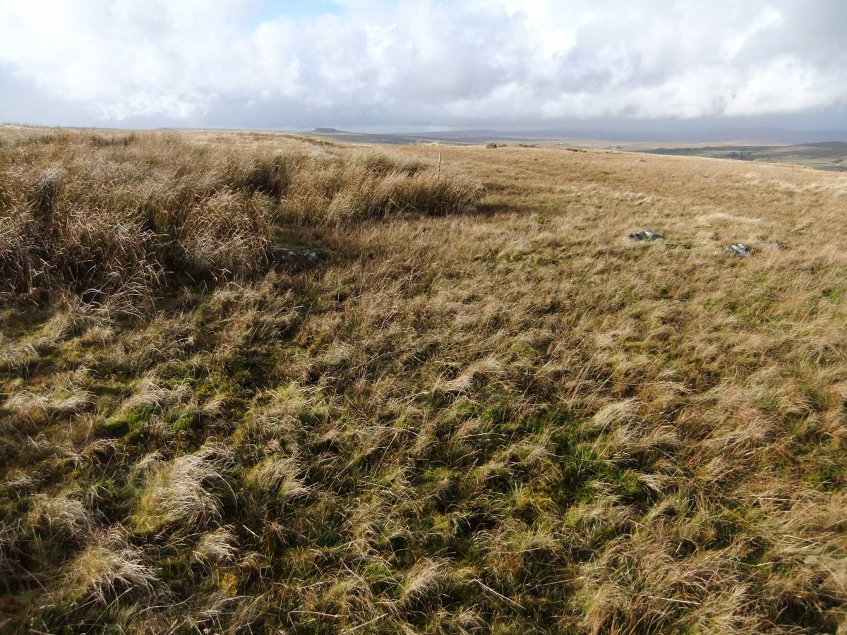
| Image 4 Description | View eastward. | 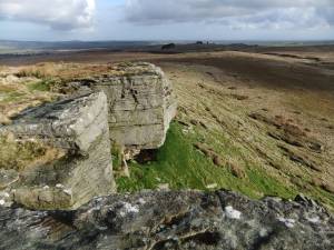 |
| Image 5 ID | 3726 Click image to enlarge |
| Image 5 Description | The ring cairn on the summit, part concealed by soft rush growth. There is a Bronze Age round barrow on Shacklesborough 5km further west. | 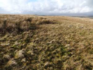 |
| Image 6 ID | 3727 Click image to enlarge |
| Image 6 Description | Goldsborough Rigg. Cup and ring marked rock. | 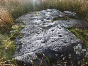 |
| Image 7 ID | 3728 Click image to enlarge |
| Image 7 Description | Fourtrack ruts leading straight across the cup and ring marked rock. Perhaps local farmers should be specifically notified of the existence and location of all cup and ring marked rocks. |  |
| Image 8 ID | 3729 Click image to enlarge |
| Image 8 Description | Goldsborough. Shap erratic boulder and quarried sandstone outcrop. |  |
| Image 9 ID | 3730 Click image to enlarge |
| Image 9 Description | The Shap erratic boulder perched near an old quarry face on the summit. This very large granite boulder, glacially transported from the eastern edge of the Lake District provides evidence that the Stainmore Ice overtopped this sandstone hillock. | 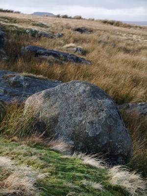 |
| Image 10 ID | 3731 Click image to enlarge |
| Image 10 Description | The Shap erratic boulder | 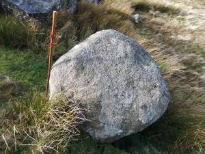 |
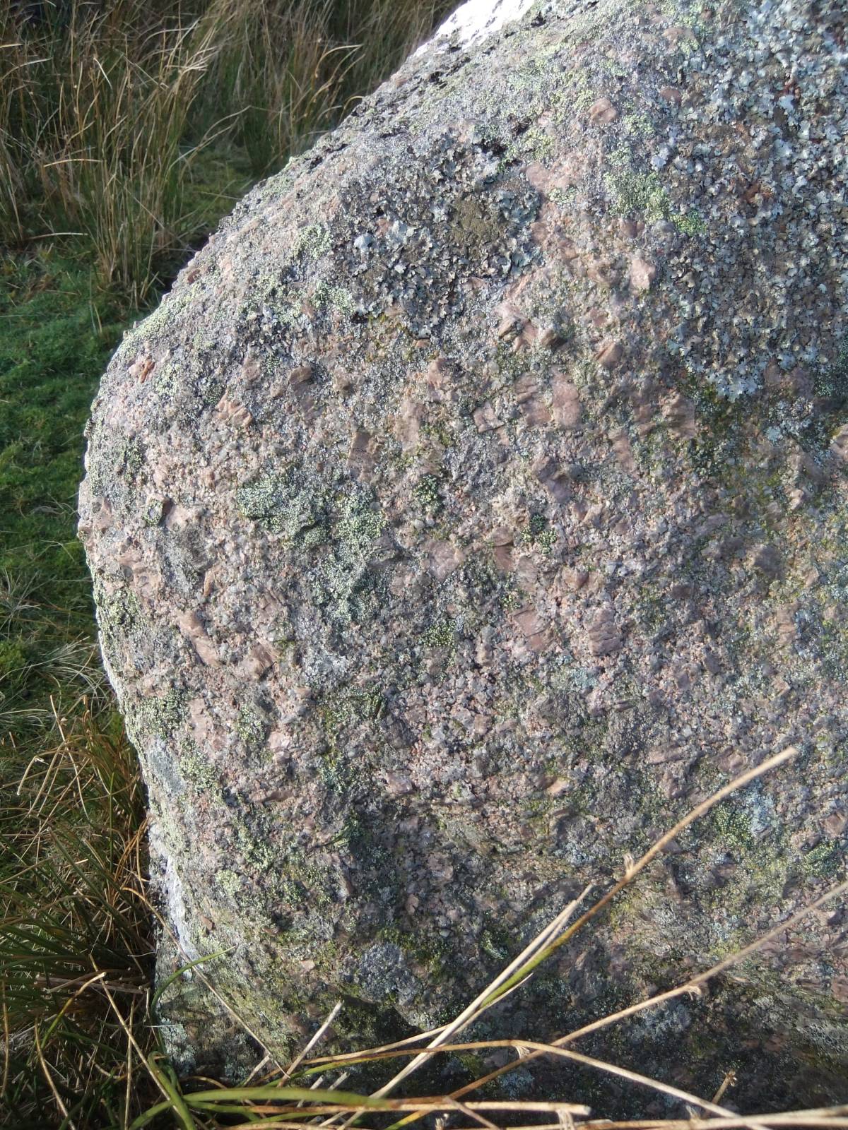
| Image 11 ID | 3732 |
| Image 11 Description | The Shap erratic boulder | 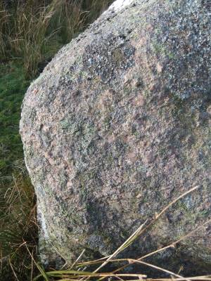 |
| Image 12 ID | 3733 |
| Image 12 Description | Small boulder of Lake District volcanic rock (Borrowdale Volcanic ash) glacially transported and deposited on the summit of Goldsborough by the Stainmore Ice stream. | 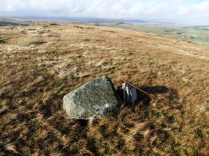 |