|
| *****SWAAG_ID***** | 643 |
| Date Entered | 19/11/2012 |
| Updated on | 20/11/2012 |
| Recorded by | Tim Laurie |
| Category | Mining Related |
| Record Type | Mining |
| SWAAG Site Name | |
| Site Type | |
| Site Name | |
| Site Description | |
| Site Access | Public Access Land |
| Record Date | 18/11/2012 |
| Location | Fremington Edge |
| Civil Parish | Reeth |
| Brit. National Grid | Hidden |
| Altitude | 392m |
| Geology | The outcrop scarp of the Main Limestone |
| Record Name | Jingle Pot Level |
| Record Description | See Dunham and Wilson 1985. Geology of the North Pennine Orefield. Volume 2. Stainmore to Craven. p146 and Figure 27. See also L.O. Tyson 1989. British Mining Monograph No 38.
This level was cut to work the Jingle Pot Vein and String in the main Limestone and Underset Limesone which had already been worked from a series of shafts over a distance of 730m 800m NW of the Copperthwaite workings. This Level was subsequently extended for a further distance of 625m below the shallow valley seperating Fremington Edge from Hurst. This further extension, known as the Langstaff Trial connected Fremington Edge with the Hurst Mines.
It would be easy to overlook the comparatively small spoil tailing heap and small bouse teams of this mine level when walking below the high limestone Scars of Fremington Edge, but close examination of the entrance workings to this extensive lead mine working show that:
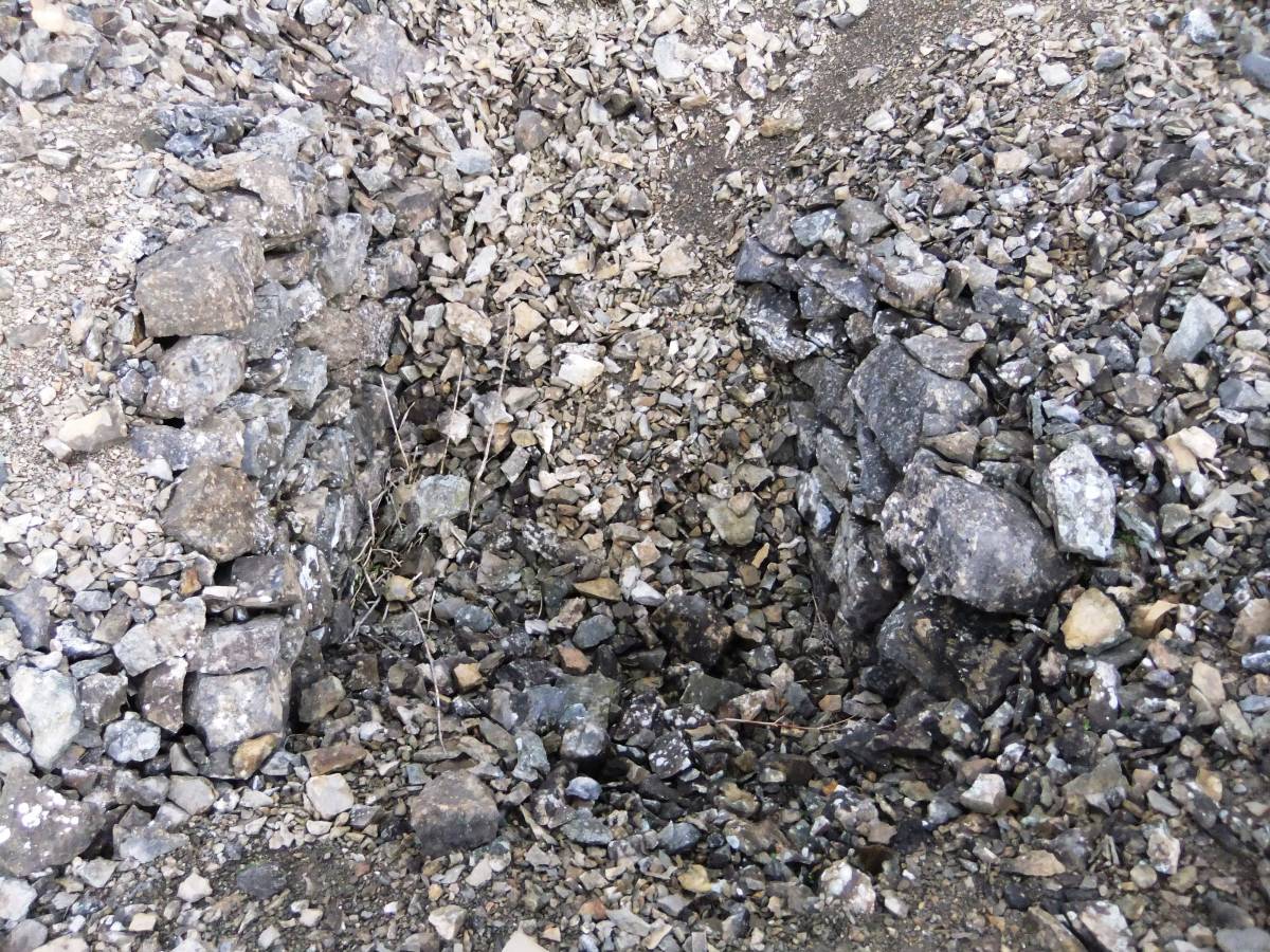
1. The level has collapsed and is not accessible. See photo image Nos3695 and 3696
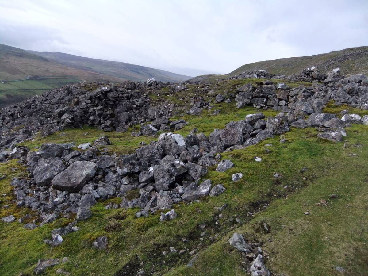
2. Small bouse teams were built below the Spoil heap.See photo image Nos 3697, 3698
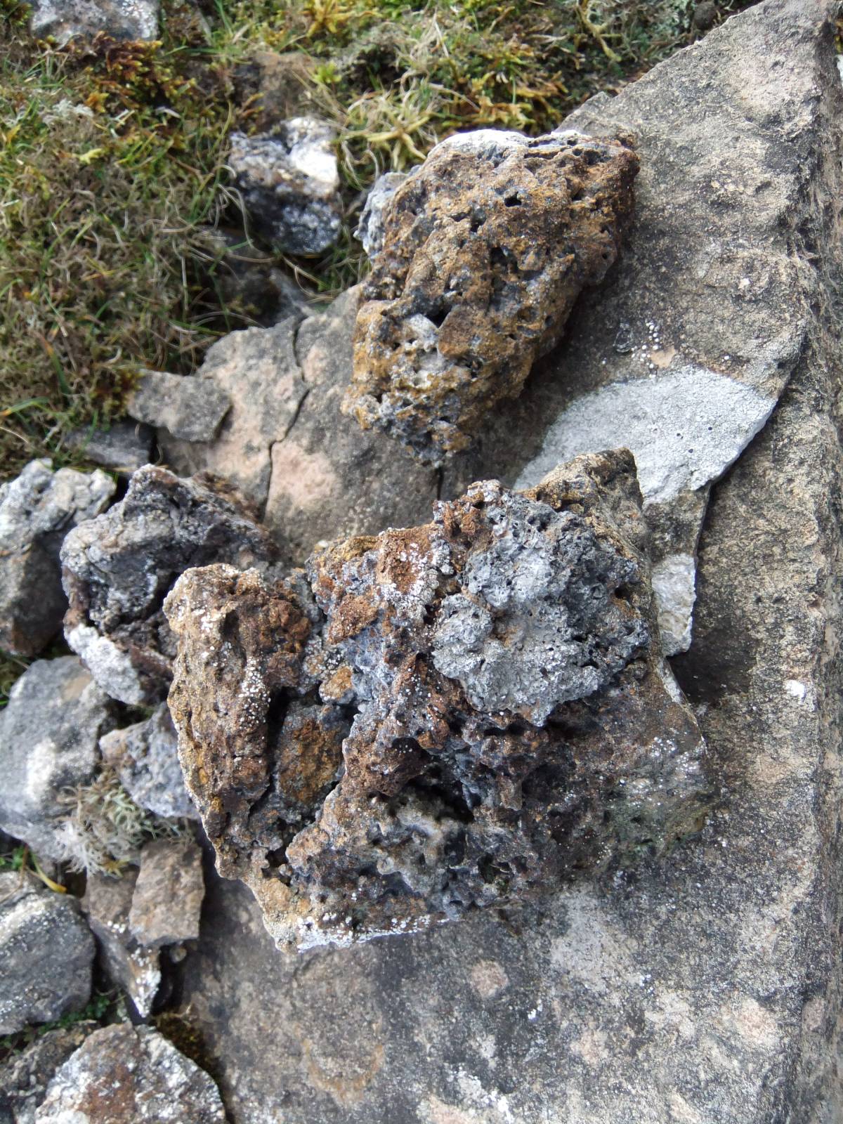
3. A lead dressing floor or possible lead bale exists just below the bouse team. Much lead vein material is present here. See photo image Nos 3700,3701
|
| Dimensions | See text. |
| Geographical area | |
| Species | |
| Scientific Name | |
| Common / Notable Species | |
| Tree and / or Stem Girth | |
| Tree: Position / Form / Status | |
| Tree Site ID | 0 |
| Associated Site SWAAG ID | 0 |
| Additional Notes | Considering that tis level extended for a total distance of nearly 1 mile to connect Freminton Edge with the Hurst Lead Veins, the surface remains at the entrance to this lead mine are remarkably discrete and not prominent. |
| Image 1 ID | 3693 Click image to enlarge |
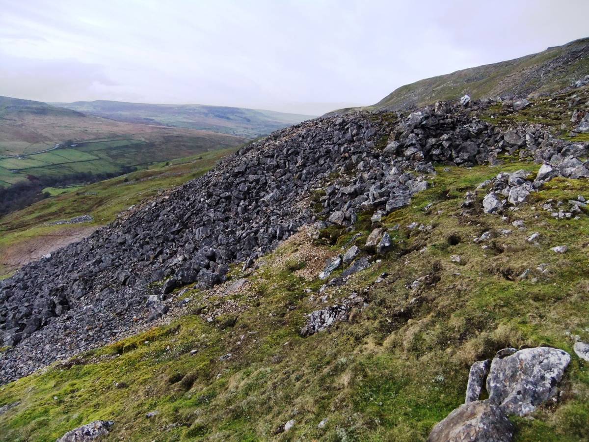
| Image 1 Description | Fremington Edge, Jingle Pot Level from east. | 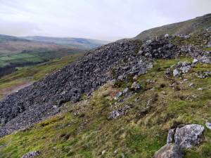 |
| Image 2 ID | 3694 Click image to enlarge |
| Image 2 Description | Fremington Edge, Jingle Pot Level from west. | 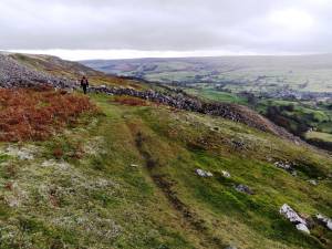 |
| Image 3 ID | 3695 Click image to enlarge |
| Image 3 Description | Jingle Pot Level. The collapsed entrance. | 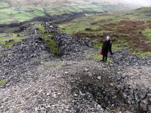 |
| Image 4 ID | 3696 Click image to enlarge |
| Image 4 Description | Jingle Pot Level. The collapsed entrance. | 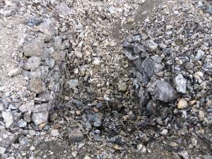 |
| Image 5 ID | 3697 Click image to enlarge |
| Image 5 Description | Fremington Edge, Jingle Pot Level showing bouse teams below spoil heap. | 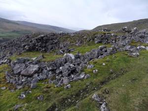 |
| Image 6 ID | 3698 Click image to enlarge |
| Image 6 Description | Fremington Edge, Jingle Pot Level showing bouse teams below spoil heap. | 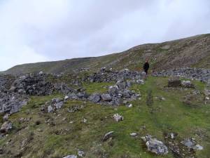 |
| Image 7 ID | 3699 Click image to enlarge |
| Image 7 Description | Ore dressing floor?. | 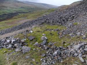 |
| Image 8 ID | 3700 Click image to enlarge |
| Image 8 Description | Vein material. | 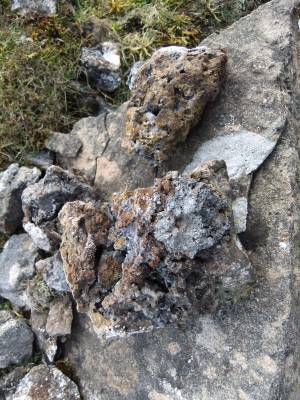 |
| Image 9 ID | 3701 Click image to enlarge |
| Image 9 Description | Vein material. | 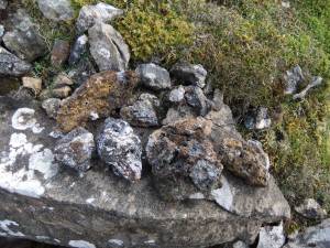 |