|
| *****SWAAG_ID***** | 635 |
| Date Entered | 03/11/2012 |
| Updated on | 03/11/2012 |
| Recorded by | Tim Laurie |
| Category | Mining Related |
| Record Type | Northern Britain |
| SWAAG Site Name | |
| Site Type | |
| Site Name | |
| Site Description | |
| Site Access | Public Access Land |
| Record Date | 01/11/2012 |
| Location | Upper Teesdale, Cronkley Fell, Tarn Rigg |
| Civil Parish | Forest and Frith |
| Brit. National Grid | NY 85370 28813 |
| Altitude | 427m |
| Geology | Glacial lateral moraine or protallus rampart. At edge of terace above small tarns below Cronkley Crags. |
| Record Name | Iron bloomeries on Cronkley Pasture and on Birk Rigg |
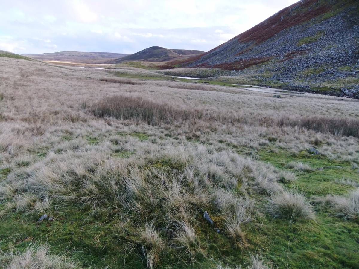
| Record Description | This record describes four iron bloomery sites , three on Cronkley Pasture and one on Birk Rig. These bloomeries are representative of the very large number of these sites scattered across the landscapes of Upper Teesdale south of the Tees and notably those on Holwick Fell dated by their relationship to early medieval settlements(which they generally overlie) to an intense episode of iron smelting during the 12th/13C AD (Gledhill, 2003).
Reference: Dr Tom Gledhill, 2003. 'The Charcoal Iron Industry of Upper Teesdale'.In: Past Times in Teesdale. Third Series. pp15-27. Teesdale Record Society and The Bowes Museum. |
| Dimensions | |
| Geographical area | |
| Species | |
| Scientific Name | |
| Common / Notable Species | |
| Tree and / or Stem Girth | |
| Tree: Position / Form / Status | |
| Tree Site ID | 0 |
| Associated Site SWAAG ID | 0 |
| Additional Notes | These bloomery sites were encountered during a single walk across this area and do not in any way represent a survey. There will be other bloomery sites in this area which are not recorded here.
In contrast to the very numerous bloomery sites in Upper Teesdale, bloomery sites are very rare in Swaledale, I have seen just two bloomery sites in Swaledale and those are located close to Throstle Gill Beck directly below the settlement of early medieval character at Dicky Edge. |
| Image 1 ID | 3595 Click image to enlarge |
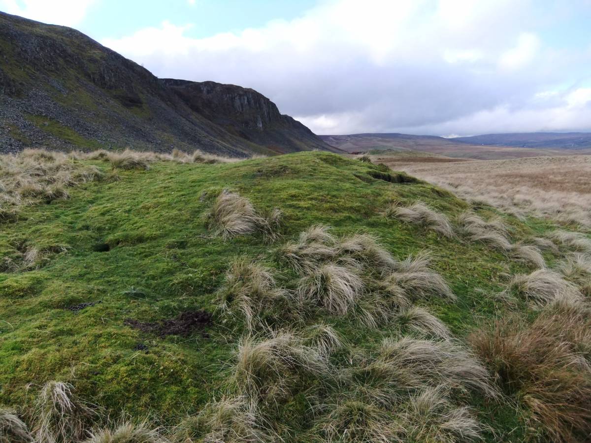
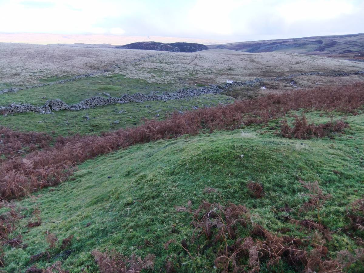
| Image 1 Description | Iron bloomery site on Tarn Rigg below Cronkley Scars. At NY85370 28813, 427m | 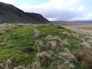 |
| Image 2 ID | 3596 Click image to enlarge |
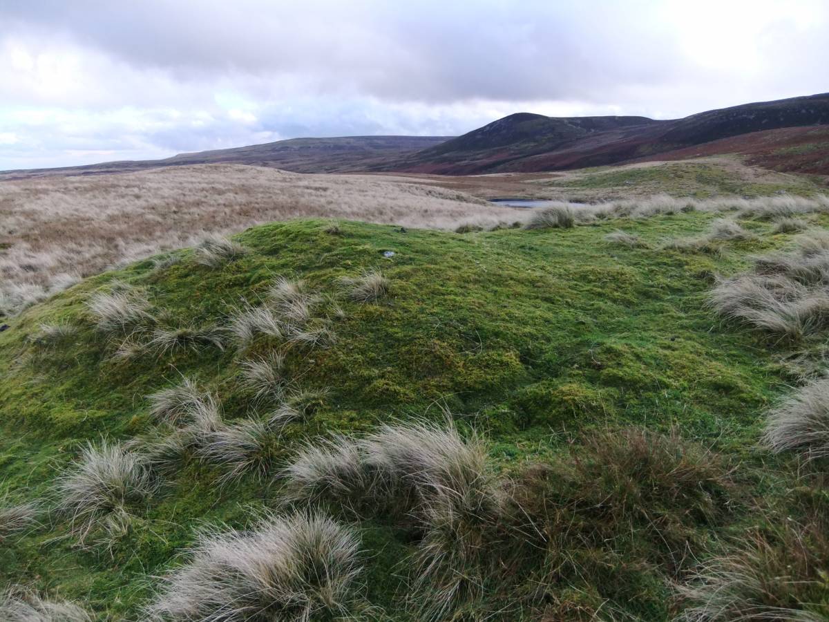
| Image 2 Description | Iron bloomery site on Tarn Rigg below Cronkley Scars. At NY85370 28813, 427m | 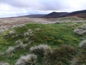 |
| Image 3 ID | 3597 Click image to enlarge |
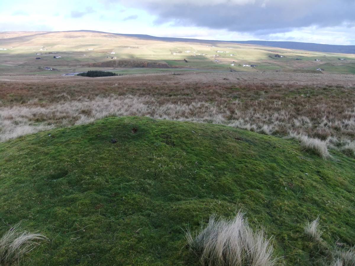
| Image 3 Description | Iron bloomery site on Tarn Rigg below Cronkley Scars. At NY85370 28813, 427m |  |
| Image 4 ID | 3598 Click image to enlarge |
| Image 4 Description | Iron bloomery site on Tarn Rigg below Cronkley Scars. At NY85370 28813, 427m | 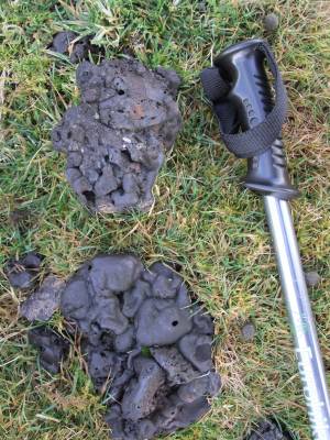 |
| Image 5 ID | 3599 Click image to enlarge |
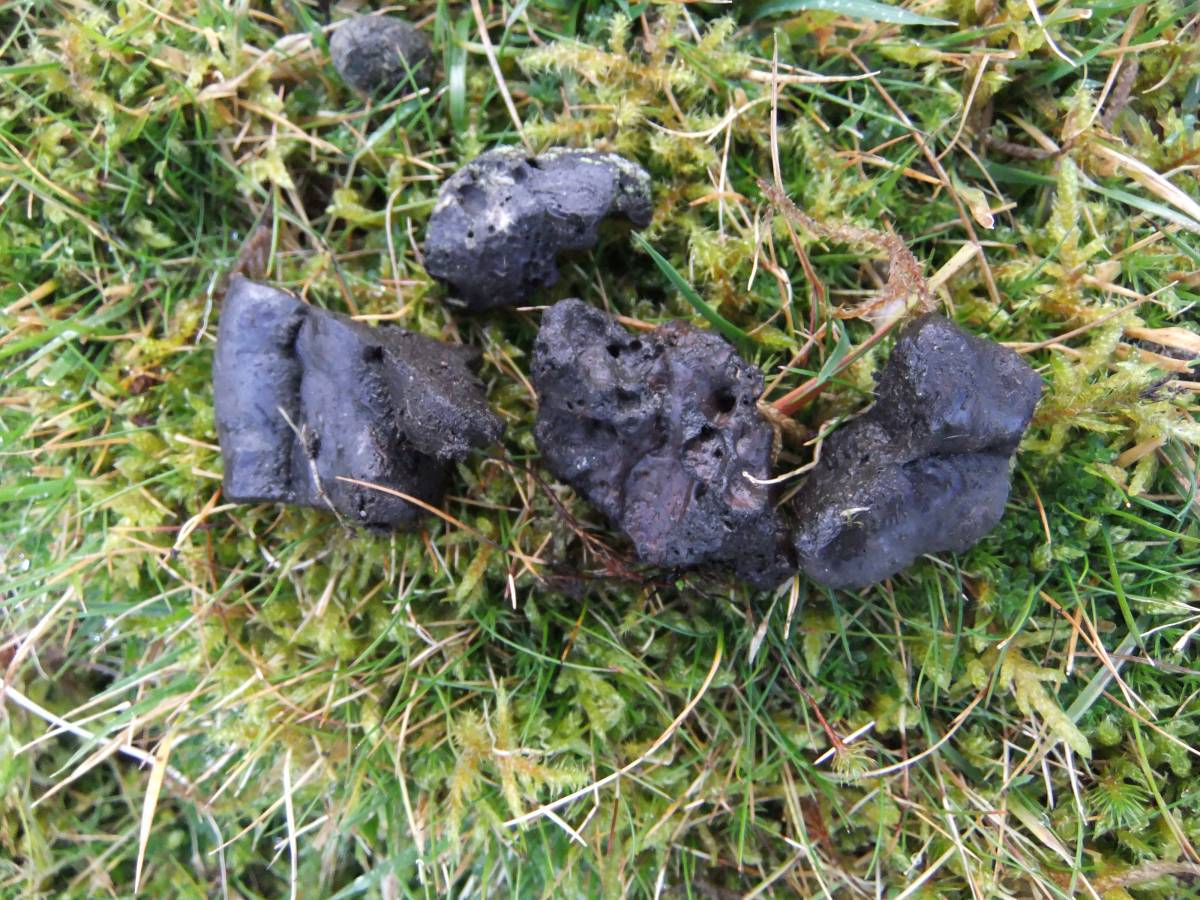
| Image 5 Description | Slag from iron bloomery site on Tarn Rigg below Cronkley Scars. At NY85370 28813, 427m | 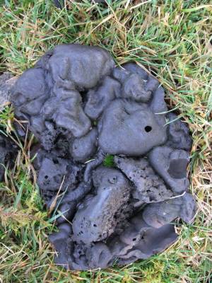 |
| Image 6 ID | 3600 Click image to enlarge |
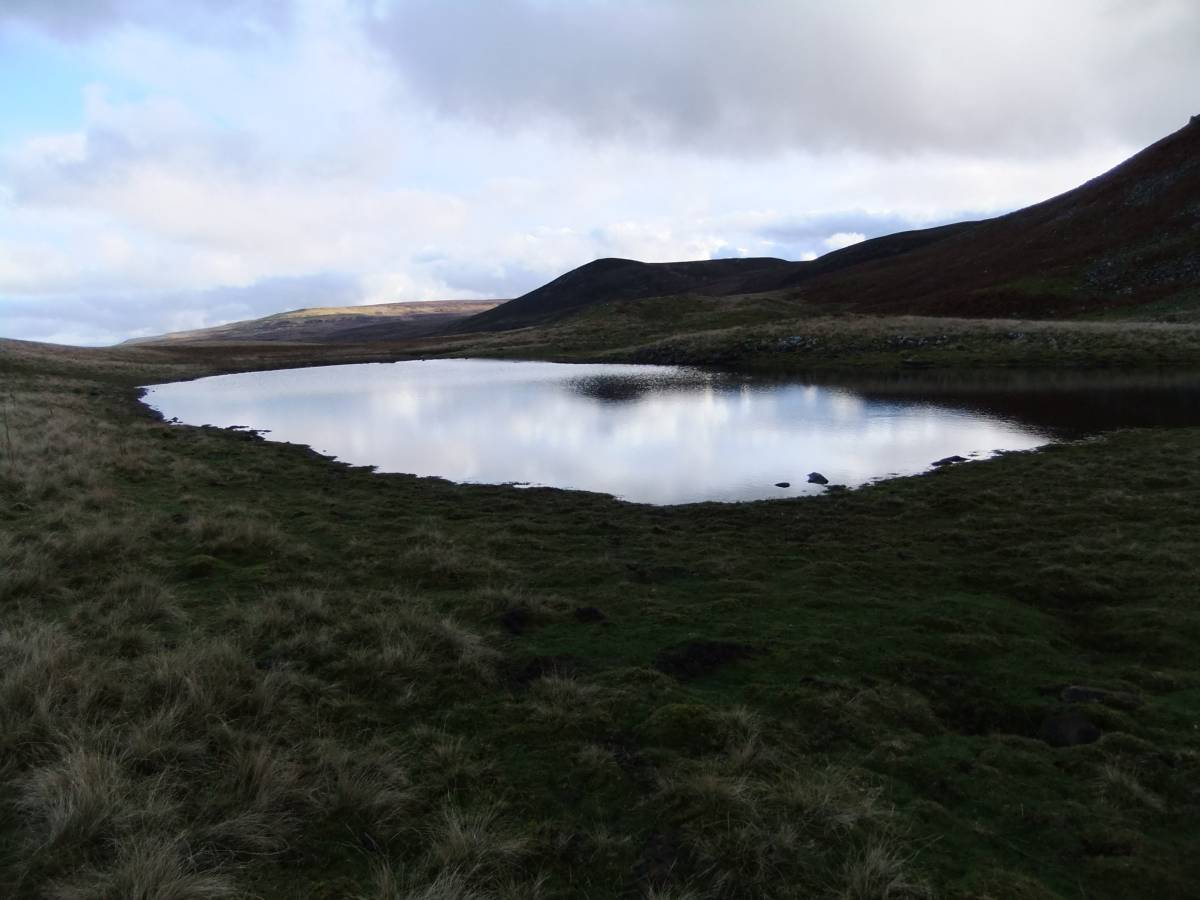
| Image 6 Description | Tarn at Tarn Dub, view west |  |
| Image 7 ID | 3601 Click image to enlarge |
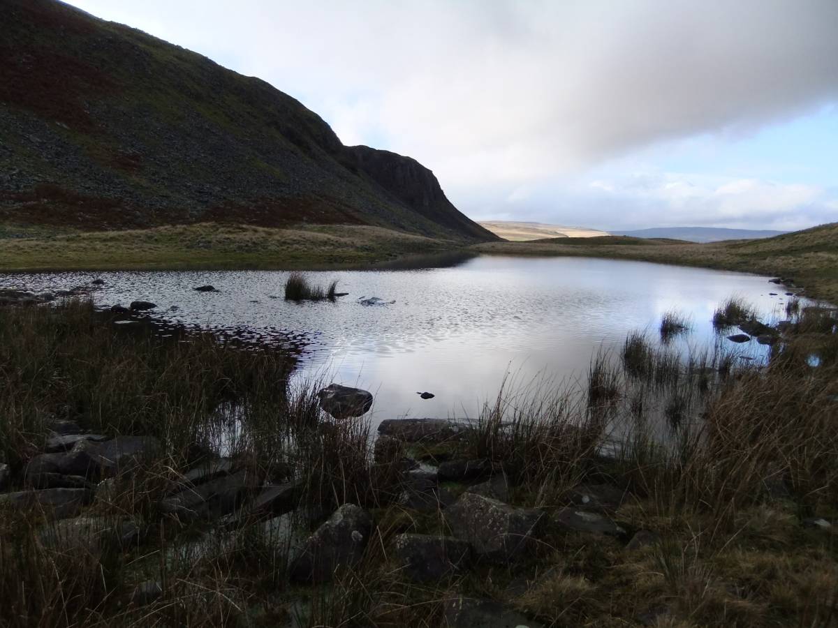
| Image 7 Description | Tarn at Tarn Dub, view east. |  |
| Image 8 ID | 3602 Click image to enlarge |
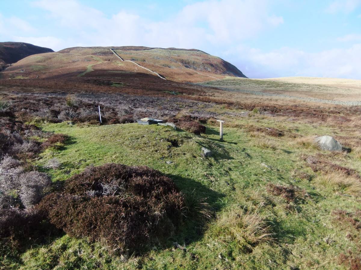
| Image 8 Description | Iron bloomery site on Tarn Rigg below Cronkley Scars. At NY85332 28783, 420m | 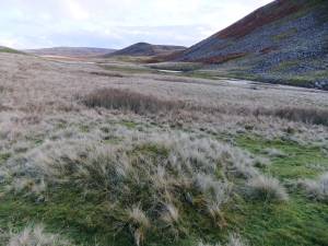 |
| Image 9 ID | 3603 Click image to enlarge |
| Image 9 Description | Iron bloomery site on Tarn Rigg below Cronkley Scars. At NY85332 28783, 420m | 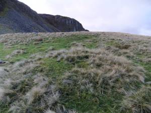 |
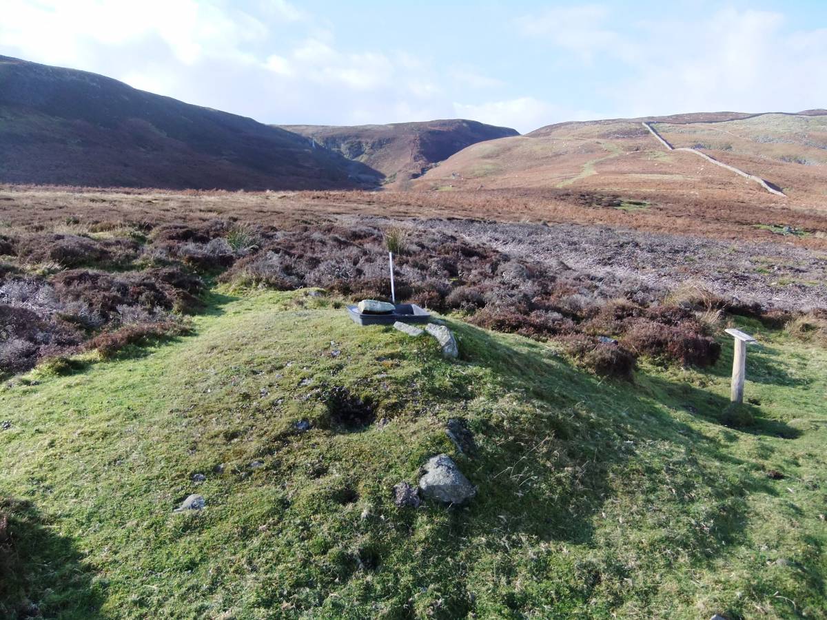
| Image 10 ID | 3604 Click image to enlarge |
| Image 10 Description | Slag from iron bloomery site on Tarn Rigg below Cronkley Scars. At NY85332 28783, 420m | 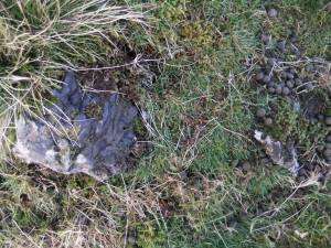 |
| Image 11 ID | 3605 |
| Image 11 Description | Iron bloomery site on Birk Rig |  |
| Image 12 ID | 3606 |
| Image 12 Description | Iron bloomery site on Birk Rig. White Force in LH distance and to the RH distance, the 'New' Moor Dike constructed by French Napoleonic Prisoners of War (Inf, Mr Roger Redfearn). | 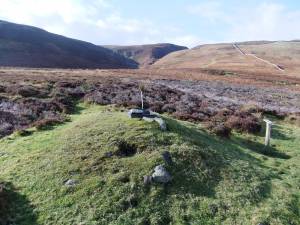 |
| Image 13 ID | 3607 |
| Image 13 Description | Two iron bloomery site mounds on Cronkley Pasture, the second smaller bloomery is below that in the foreground near the ruined wall which was the Old Moor Dike. | 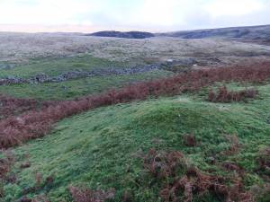 |
| Image 14 ID | 3608 |
| Image 14 Description | Slag from last site | 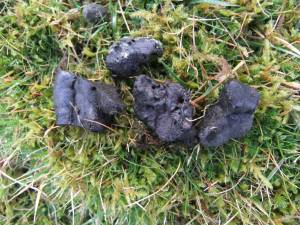 |