|
| *****SWAAG_ID***** | 147 |
| Date Entered | 01/03/2011 |
| Updated on | 01/03/2011 |
| Recorded by | Stephen Eastmead (admin) |
| Category | Settlement |
| Record Type | Archaeology |
| SWAAG Site Name | |
| Site Type | |
| Site Name | |
| Site Description | |
| Site Access | Public Footpath |
| Record Date | 28/02/2011 |
| Location | Near Low Hollings, Marske. |
| Civil Parish | Marske |
| Brit. National Grid | SE 10111 99235 |
| Altitude | 221m |
| Geology | Below a limestone escarpment and on a spring line. |
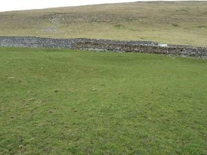
| Record Name | 2 shallow settlement platforms |
| Record Description | 2 shallow settlement platforms situated in a medieval landscape.
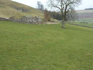
A trackway leads to the platforms, and there are a few less obvious earthworks close by.
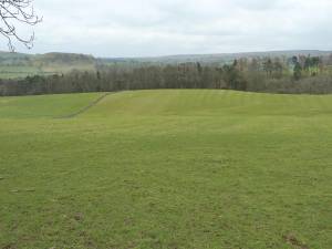
The platforms have a open aspect to the south over the fields below.
The fields show evidence of rig and furrow ploughing in the improved grassland. |
| Dimensions | Each platform is 8-10m across |
| Geographical area | |
| Species | |
| Scientific Name | |
| Common / Notable Species | |
| Tree and / or Stem Girth | |
| Tree: Position / Form / Status | |
| Tree Site ID | 0 |
| Associated Site SWAAG ID | 0 |
| Additional Notes | |
| Image 1 ID | 377 Click image to enlarge |
| Image 1 Description | Settlement platforms |  |
| Image 2 ID | 378 Click image to enlarge |
| Image 2 Description | Trackway leading to settlement platforms |  |
| Image 3 ID | 379 Click image to enlarge |
| Image 3 Description | View to the south showing rig and furrow ploughing. |  |


