|
| *****SWAAG_ID***** | 144 |
| Date Entered | 26/02/2011 |
| Updated on | 17/01/2015 |
| Recorded by | Tim Laurie |
| Category | Burnt Mound |
| Record Type | Archaeology |
| SWAAG Site Name | |
| Site Type | |
| Site Name | |
| Site Description | |
| Site Access | Private |
| Record Date | 01/01/2005 |
| Location | Teesdale. Hunderthwaite CP. Howgill Head. |
| Civil Parish | Not known |
| Brit. National Grid | NY 952 205 |
| Altitude | 355m |
| Geology | |
| Record Name | Four burnt mounds at Howgill Head. |
| Record Description | This record is for a group of four burnt mounds located at springs and small streams in wet pastures at Howgill Head.
The interest in these burnt mounds is enhanced by the presence of a number of cup marked and cup and ring marked rocks in the pastures some 400m to the south of the burnt mounds.
NY 952 205 centre |
| Dimensions | One large , two medium and one small burnt mound. |
| Geographical area | |
| Species | |
| Scientific Name | |
| Common / Notable Species | |
| Tree and / or Stem Girth | |
| Tree: Position / Form / Status | |
| Tree Site ID | 0 |
| Associated Site SWAAG ID | 0 |
| Additional Notes | |
| Image 2 ID | 357 Click image to enlarge |
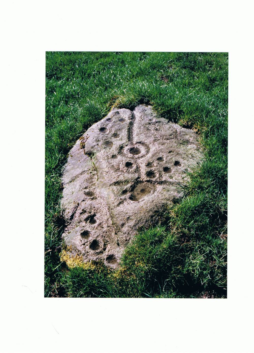
| Image 2 Description | Rock art site south of the burnt mounds at Howgill Head | 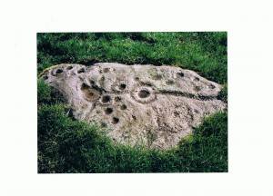 |
| Image 3 ID | 358 Click image to enlarge |
| Image 3 Description | Howgill Head. Rock art site to the south of the four burnt mounds in these wet pastures. | 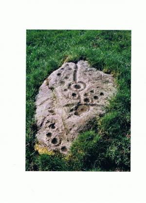 |
| Image 4 ID | 359 Click image to enlarge |
| Image 4 Description | Howgill Head. Four burnt mounds in these wet pastures. | 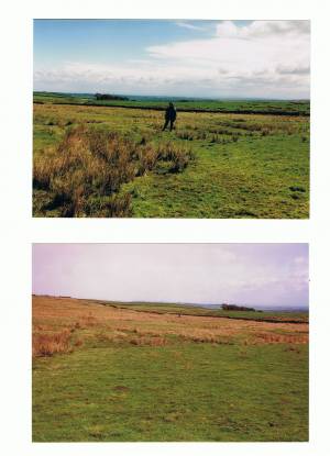 |