|
| *****SWAAG_ID***** | 133 |
| Date Entered | 18/02/2011 |
| Updated on | 19/01/2012 |
| Recorded by | Tim Laurie |
| Category | Burnt Mound |
| Record Type | Archaeology |
| SWAAG Site Name | |
| Site Type | |
| Site Name | |
| Site Description | |
| Site Access | Army Range |
| Record Date | 29/12/2008 |
| Location | Bellerby CP. Bellerby Moor. Springs rising south of Black Beck. |
| Civil Parish | Not known |
| Brit. National Grid | SE 08945 93640 |
| Altitude | 320m |
| Geology | Calcareous spring rising from Main Limestone |
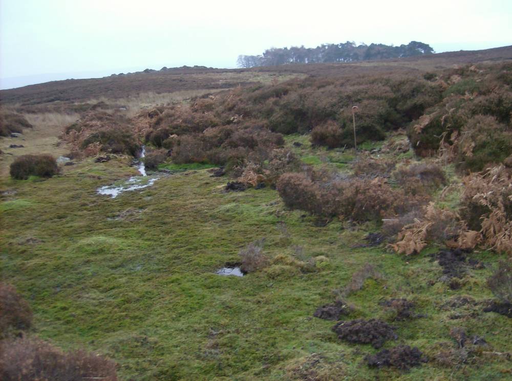
| Record Name | Bellerby CP. Bellerby Moor Ranges. Site 6 |
| Record Description | Large burnt mound shrouded under peat and by heather located at the spring rise immediately south of the ice margin channel known as Black Beck.
Burnt stone visible in erosion patches here. |
| Dimensions | 10m dia and .7m high estimated |
| Geographical area | |
| Species | |
| Scientific Name | |
| Common / Notable Species | |
| Tree and / or Stem Girth | |
| Tree: Position / Form / Status | |
| Tree Site ID | 0 |
| Associated Site SWAAG ID | 0 |
| Additional Notes | Very difficult to see under heather. |
| Image 1 ID | 312 Click image to enlarge |
| Image 1 Description | Bellerby Moor Range. Burnt mound site 6. Location at spring head. Site 5 is 50m lower down on the eastern bank of the same stream. |  |