|
| *****SWAAG_ID***** | 138 |
| Date Entered | 21/02/2011 |
| Updated on | 21/12/2011 |
| Recorded by | Tim Laurie |
| Category | Burnt Mound |
| Record Type | Archaeology |
| SWAAG Site Name | |
| Site Type | |
| Site Name | |
| Site Description | |
| Site Access | Public Access Land |
| Record Date | 01/01/2005 |
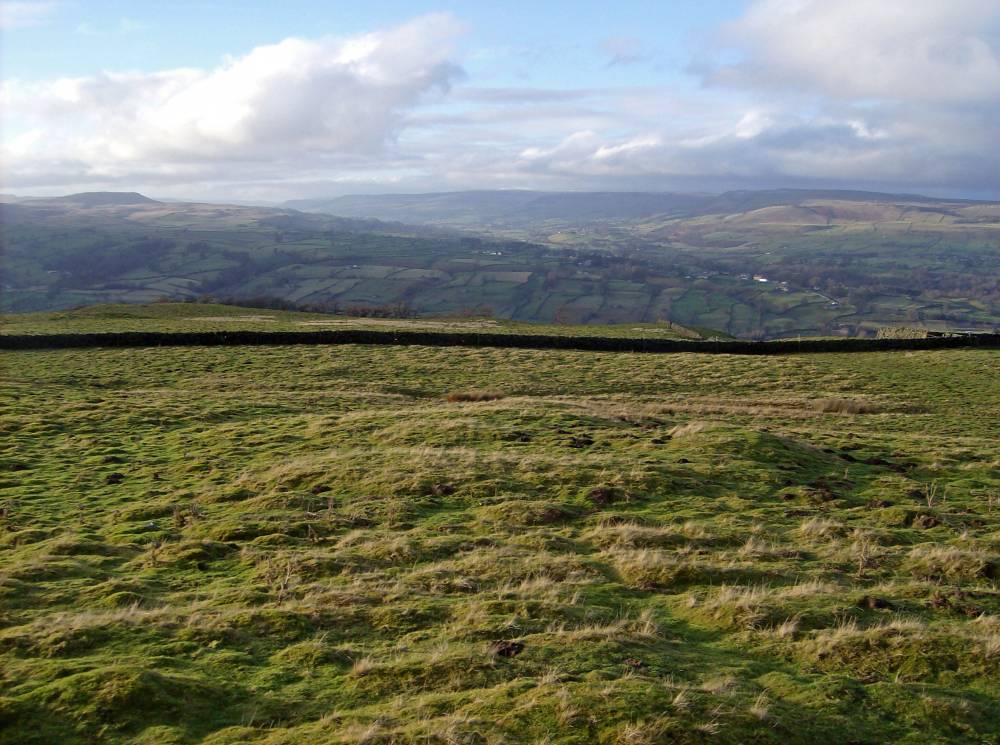
| Location | West Burton CP. Pasture below Ashby Gill. |
| Civil Parish | Not known |
| Brit. National Grid | SE 02860 86835 |
| Altitude | 350m |
| Geology | Shales below Main Limestone. |
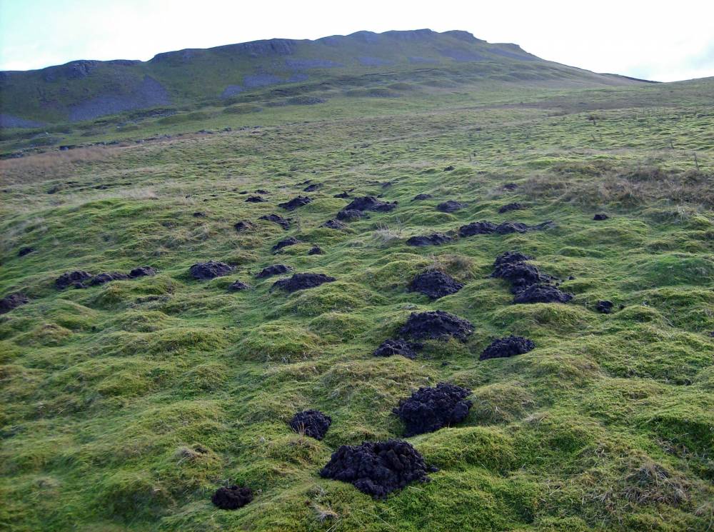
| Record Name | Burnt Mound below Ashby Gill. Site 3. |
| Record Description | Very large burnt mound by recently diverted spring.
The lowest of three burnt mounds at this diverted watercourse,
see Site Nos 58 and 137.
Coaxial field system aligned at right angles to the slope extends southward from Stoneywood Plain to Hudson's Quarry. Unenclosed settlements at intervals in these pastures (all recorded seperately) |
| Dimensions | 18m*10m*1m |
| Geographical area | |
| Species | |
| Scientific Name | |
| Common / Notable Species | |
| Tree and / or Stem Girth | |
| Tree: Position / Form / Status | |
| Tree Site ID | 0 |
| Associated Site SWAAG ID | 0 |
| Additional Notes | This (the lowest of three sites at the same spring stream) is a very large burnt mound. The coaxial field system, settlement enclosures and lithic scatters in this area denote significant settlement activity here. |
| Image 1 ID | 337 Click image to enlarge |
| Image 1 Description | Ashby Gill. Burnt Mound Site 3. |  |
| Image 2 ID | 338 Click image to enlarge |
| Image 2 Description | Ashby Gill. Burnt Mound Site 3. | 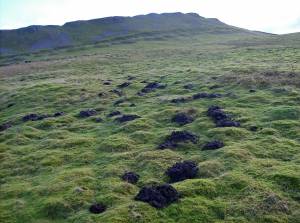 |