|
| *****SWAAG_ID***** | 626 |
| Date Entered | 27/10/2012 |
| Updated on | 27/10/2012 |
| Recorded by | Tim Laurie |
| Category | Tree/Shrub Record |
| Record Type | Botanical HER |
| SWAAG Site Name | |
| Site Type | |
| Site Name | |
| Site Description | |
| Site Access | Public Footpath |
| Record Date | 24/10/2012 |
| Location | Whitcliffe Scar |
| Civil Parish | Richmond |
| Brit. National Grid | NZ 1390 0197 |
| Altitude | 240m |
| Geology | Scree talus below cliff formed from the Main Limestone. |
| Record Name | Spindle below Whitcliffe Scar, east of the defended RB Settlement |
| Record Description | Isolated bush of Spindle in secondary woodland after the total loss of Wych Elm. |
| Dimensions | See photos. |
| Geographical area | Lower Swaledale |
| Species | Spindle |
| Scientific Name | Euonymus europaeus |
| Common / Notable Species | |
| Tree and / or Stem Girth | Bush not tree |
| Tree: Position / Form / Status | Bush |
| Tree Site ID | 0 |
| Associated Site SWAAG ID | 0 |
| Additional Notes | Spindle is a rare tree species at or about its Northern Limit in Swaledale, just one other site for spindle is known at present.
Spindle forms a small tree or as in this case a small bush. Spindle is easily seen when in full autumn colour but easily overlooked at other times. The strange The strange pink fruit was not present.
Spindle is not common in Wensleydale, but has been recorded on Leyburn Shawl. |
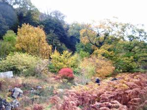
| Image 1 ID | 3507 Click image to enlarge |
| Image 1 Description | The single Sindle Bush as first seen in full autumn colour. |  |
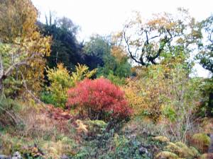
| Image 2 ID | 3508 Click image to enlarge |
| Image 2 Description | Spindle must be described as Britain's burning bush. |  |
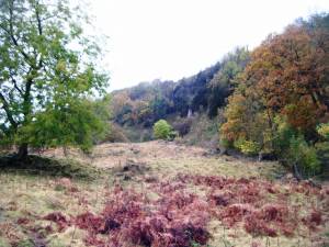
| Image 3 ID | 3509 Click image to enlarge |
| Image 3 Description | Voew westward towards the defended settlement below Whitcliffe Scar. |  |
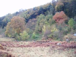
| Image 4 ID | 3510 Click image to enlarge |
| Image 4 Description | Species rich deciduous woodland on Whitcliffe Scar. |  |


