|
| *****SWAAG_ID***** | 616 |
| Date Entered | 06/10/2012 |
| Updated on | 14/01/2013 |
| Recorded by | Tim Laurie |
| Category | Mining Related |
| Record Type | Industrial Archaeology |
| SWAAG Site Name | |
| Site Type | |
| Site Name | |
| Site Description | |
| Site Access | Public Access Land |
| Record Date | 04/10/2012 |
| Location | Muker Common |
| Civil Parish | Muker |
| Brit. National Grid | |
| Altitude | 500m |
| Geology | Faulted and mineralised strata (the Providence Vein) at and below the Main Limestone. The Providence Vein can be traced from Cliff Beck in Swaledale to Sargill and beyond the River Ure to cross Burtersett High Pasture to Wether Fell- a total distance of 7.5 miles. (Dunham K.C. and Wilson A.A. 1985.Geology of the North Pennine Orefield, Vol 2 Stainmore to Craven.p166 and Figure30). |
| Record Name | Muker Common. The Providence Hushes and Providence Mine. |
| Record Description | The Providence Mine worked the lead ore deposits (up to 60m wide) on the Providence Vein from three different Levels and also by previous hushing and was in production until 1880. The prominent spoil heaps of highly dolomitised and limonitised limestone typical of flot workings in the zone of oxidation are very extensive.The ores worked includedcrussite-fringed galena,calcite,aragonite and baryt. (Dunham K.C. and Wilson A.A. 1985.) |
| Dimensions | |
| Geographical area | |
| Species | |
| Scientific Name | |
| Common / Notable Species | |
| Tree and / or Stem Girth | |
| Tree: Position / Form / Status | |
| Tree Site ID | 0 |
| Associated Site SWAAG ID | 0 |
| Additional Notes | Access to this mine involves a lengthy walk and there are remains of a made trackway leading eastward towards West Greenseat, see photo. |
| Image 1 ID | 3439 Click image to enlarge |
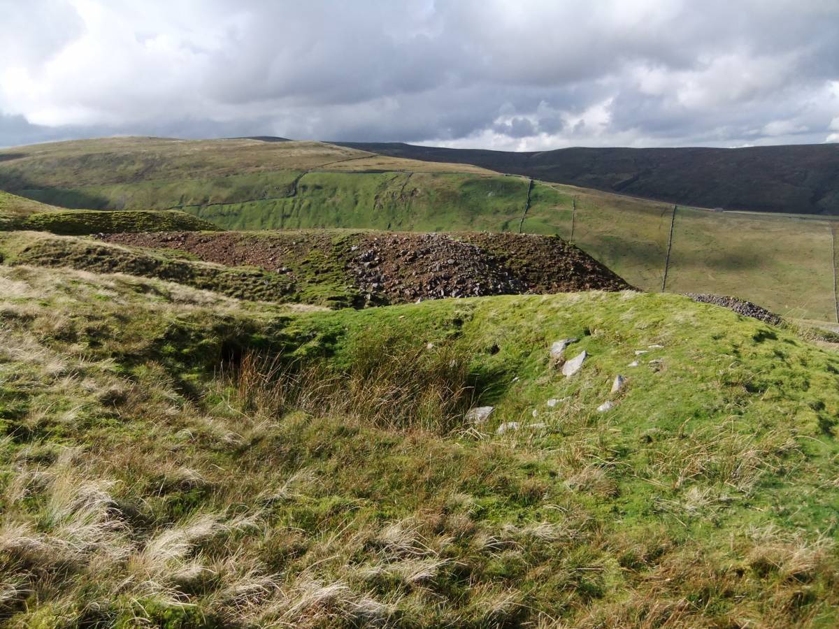
| Image 1 Description | Spoil heaps of the Providence Mine from the east towards Cliff Beck and the Buttertubs Road. | 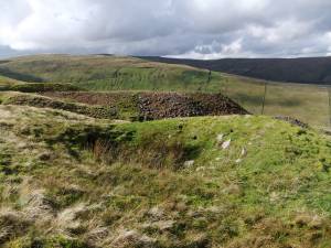 |
| Image 2 ID | 3950 Click image to enlarge |
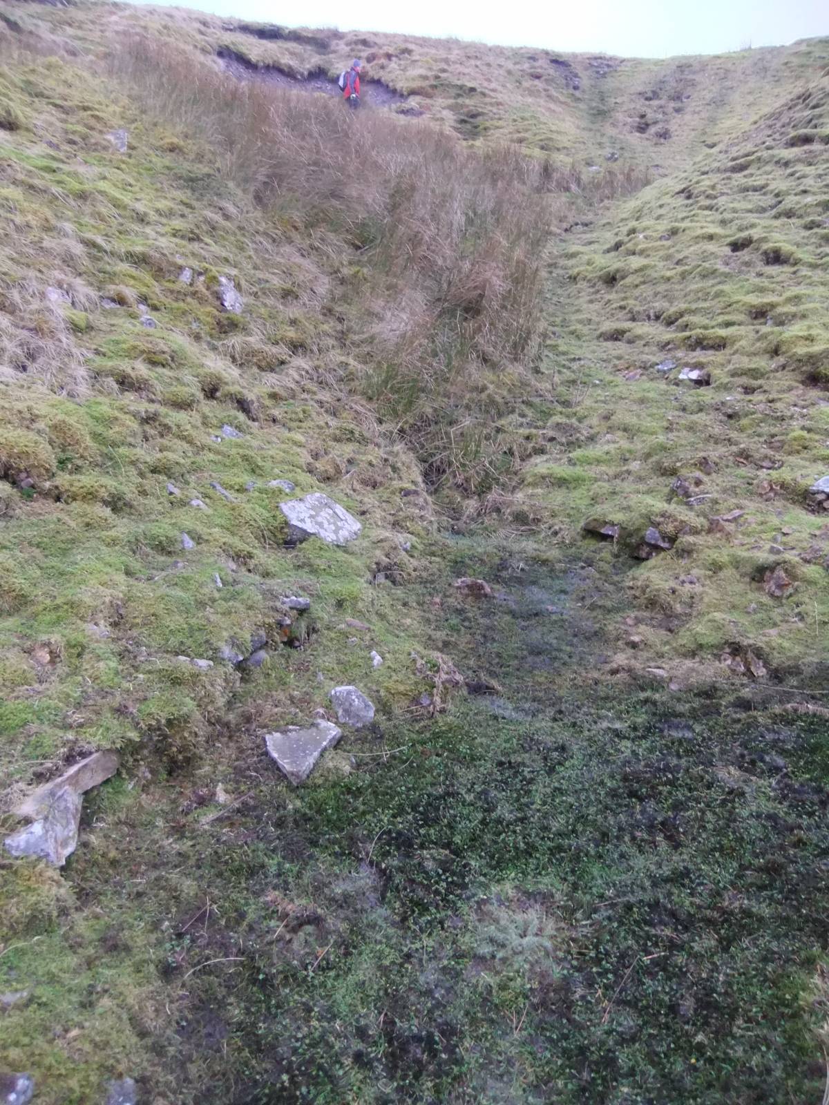
| Image 2 Description | Location of the collapsed portal of one of the main Levels. Stone faces of both walls of the portal just visible. Marked by collapses and by seepage of water draining from the Level. |  |
| Image 3 ID | 3441 Click image to enlarge |
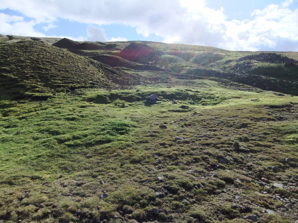
| Image 3 Description | Spoil heaps and hushes. | 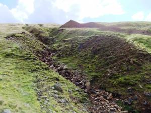 |
| Image 4 ID | 3442 Click image to enlarge |
| Image 4 Description | Spoil heaps and hushes. | 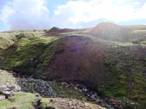 |
| Image 5 ID | 3443 Click image to enlarge |
| Image 5 Description | Spoil heaps and hushes. | 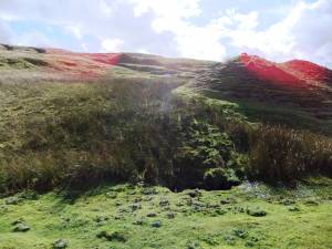 |
| Image 6 ID | 3444 Click image to enlarge |
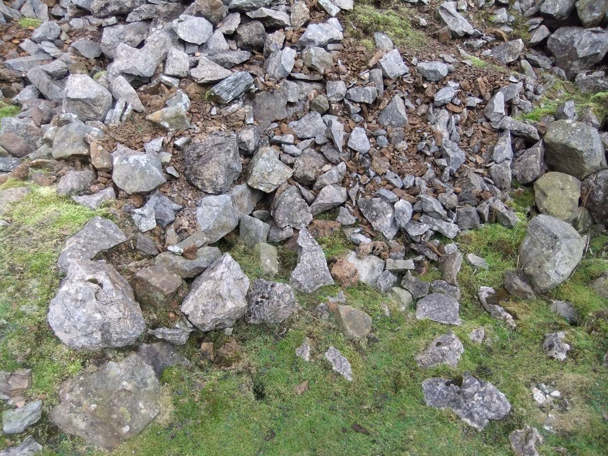
| Image 6 Description | Mineralised material from the spoil heaps. | 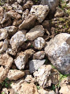 |
| Image 7 ID | 3445 Click image to enlarge |
| Image 7 Description | Spoil heaps and hushes. | 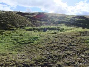 |
| Image 8 ID | 3446 Click image to enlarge |
| Image 8 Description | Trackway leading from the Providence mine eastward and upward towards West Greenseat. | 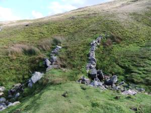 |
| Image 9 ID | 3447 Click image to enlarge |
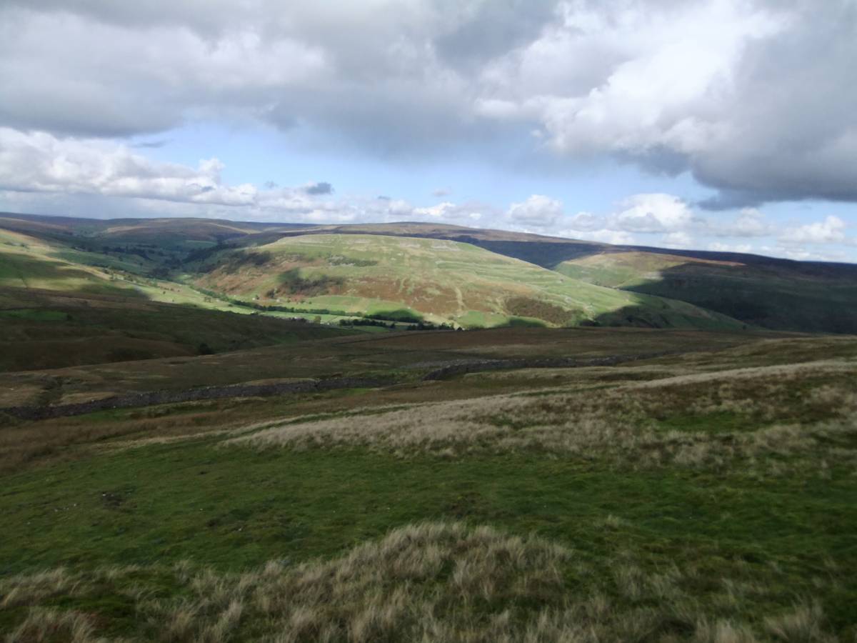
| Image 9 Description | View northward from providence Mine towards Thwaite and Kisdon Hill |  |
| Image 10 ID | 3951 Click image to enlarge |
| Image 10 Description | Alan Mills marks the position of two collapsed boose teams at lower end of the line of spoil heaps. | 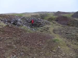 |
| Image 11 ID | 3953 |
| Image 11 Description | View eastward towards West Greenseat, visible in distance across the line of spoil heaps | 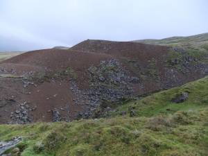 |
| Image 12 ID | 3952 |
| Image 12 Description | Detail of collapsed walling at the boose teams covered by spoil heap debris. | 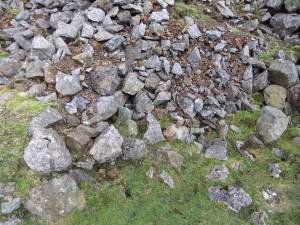 |