|
| *****SWAAG_ID***** | 608 |
| Date Entered | 17/09/2012 |
| Updated on | 17/09/2012 |
| Recorded by | Tim Laurie |
| Category | Tree Site Record |
| Record Type | Archaeology |
| SWAAG Site Name | |
| Site Type | |
| Site Name | |
| Site Description | |
| Site Access | Public Access Land |
| Location | Birkdale Common, Uldale Gill Head, Lodge Hags. |
| Civil Parish | Muker |
| Brit. National Grid | |
| Altitude | 635m |
| Geology | Remnants of once continuous 2-4m deep blanket peat peat on Namurian grits. |
| Record Name | Tree remains at base of deep peat at Uldale Gill Head. |
| Record Description | This record is an introduction to a programme of research currently being undertaken by two Dissertation Undergraduates from the University of York working under the supervision of Dr Rob Marchant designed to throw some light on the vegetational history of Upper Swaledale.
Two seperate peat cores totalling some 4.0m in depth were obtained. Site 2 from the a layer 1.5m deep peat, the remnant of deeper peat partly eroded. This remnant of old deep peat was located immediately above the tree remains at Tarn Level. Pollen Sampling Site 1 was located to core the relatively undisturbed blanket peat on the slope immediately west of the peat infilled tarn- like basin from which Uldale Gill emerges. There were few tree remains below this peat which was around 2.5m deep.
This area is of particular interest in that a very large area of fossil tree remains have been exposed where the overlying peat has been eroded down to but not below the tarn surface water level which is close to the base of the 3-4m deep overlying peat.
Macro remains of scots pine, willow and birch have been identified. All tree remains are very stunted, thin and calloused branch material reflecting the highly exposed and windy conditions of this place which was at or close to the contemporary altitudinal limit of trees.
|
| Dimensions | see photos |
| Geographical area | |
| Species | |
| Scientific Name | |
| Common / Notable Species | |
| Tree and / or Stem Girth | |
| Tree: Position / Form / Status | |
| Tree Site ID | 0 |
| Associated Site SWAAG ID | 0 |
| Additional Notes | The peat cores will be subjected to intensive study. Pollen samples will be counted at intervals to determine woodland composition and the peat will be examined to determine the varying conditions of deposition. It is to be hoped that this research will reveal the local and general climatic and vegetational development from the onset of peat formation at an early date following the final retreat of the Devensian Glacial Ice.
The existence of Pine, Willow and Birch at this high elevation (635m) is mirrored by similar finds from peat on the summits of the Southern Pennines. The highest record of Pine in this study (on Holme Moss) was at a mere 520m AOD whereas the pine remains at Uldale Head are at 635m AOD! An altitudinal record for this tree in British peat perhaps.
Reference: Tallis, J.H. and Switsur, V.R. Forest and Moorland in the South pennine Uplands in the Mid Flandrian period. Journal of Ecology (1883), 71, 585-600 |
| Image 1 ID | 3325 Click image to enlarge |
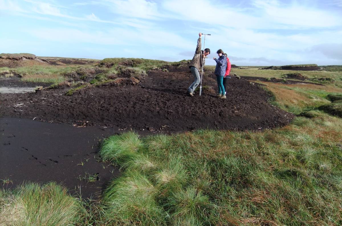
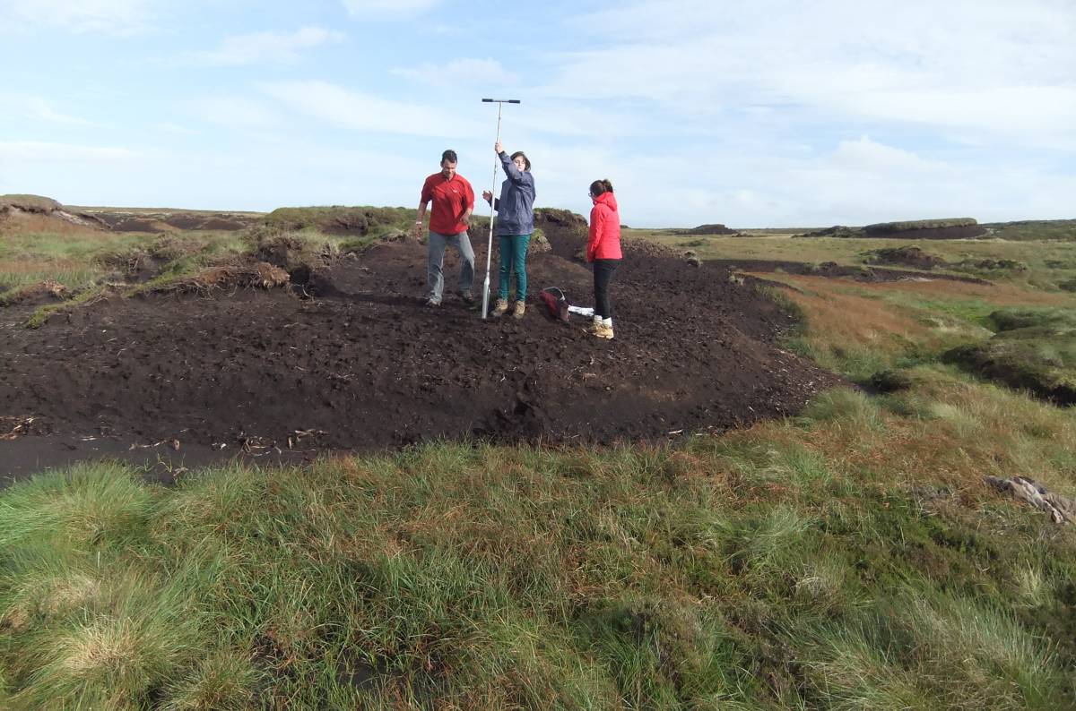
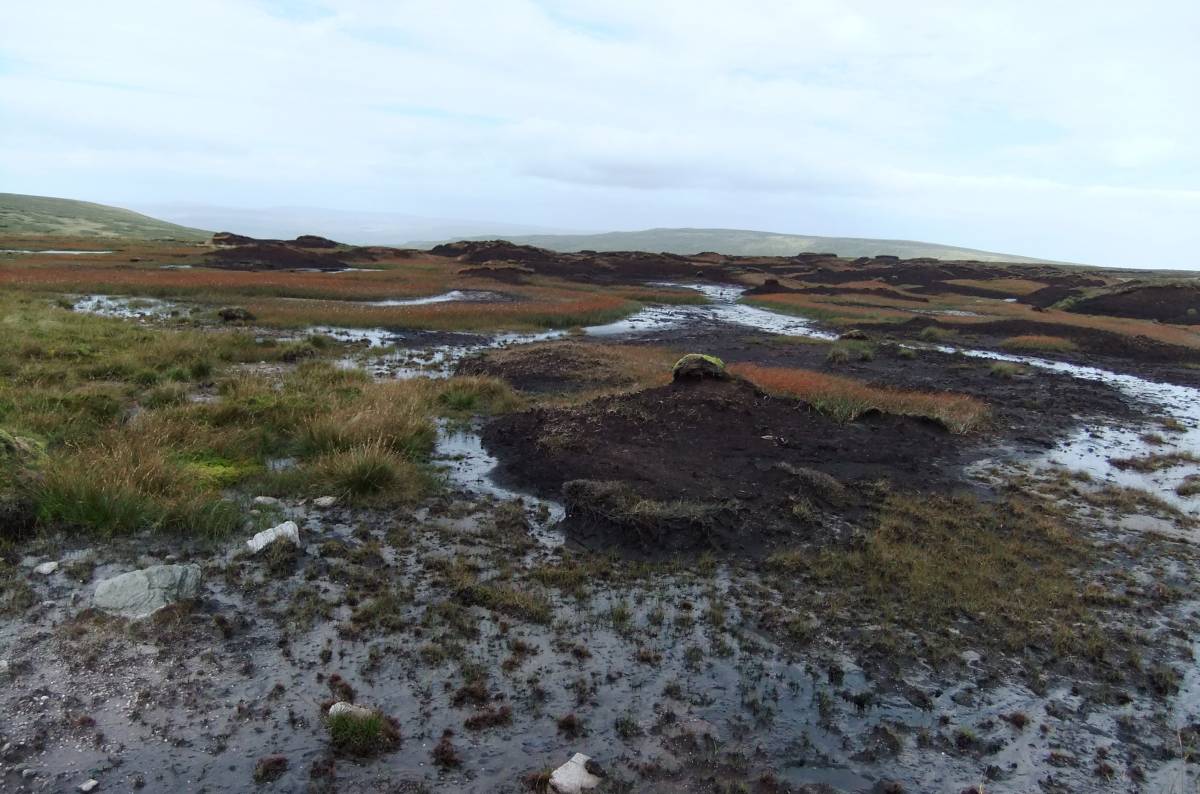
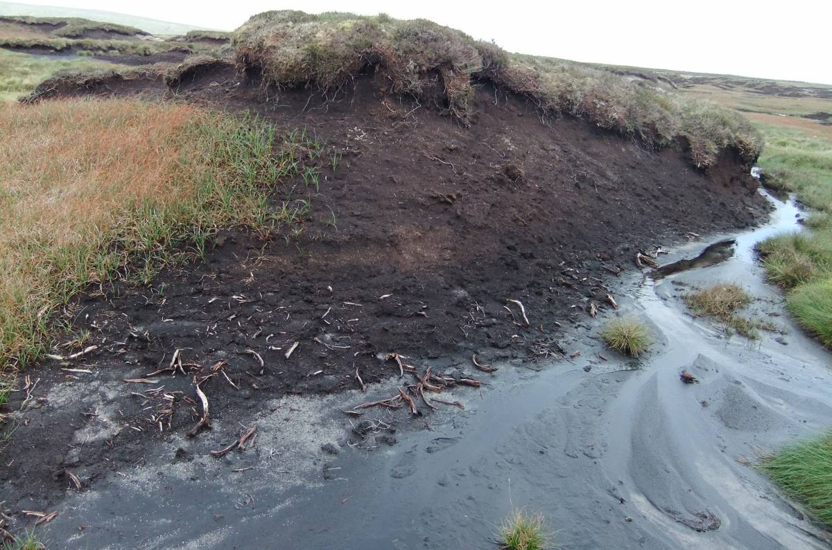
| Image 1 Description | Pollen sampling site 2. Remnant peat directly above the tree remains at tarn level |  |
| Image 2 ID | 3326 Click image to enlarge |
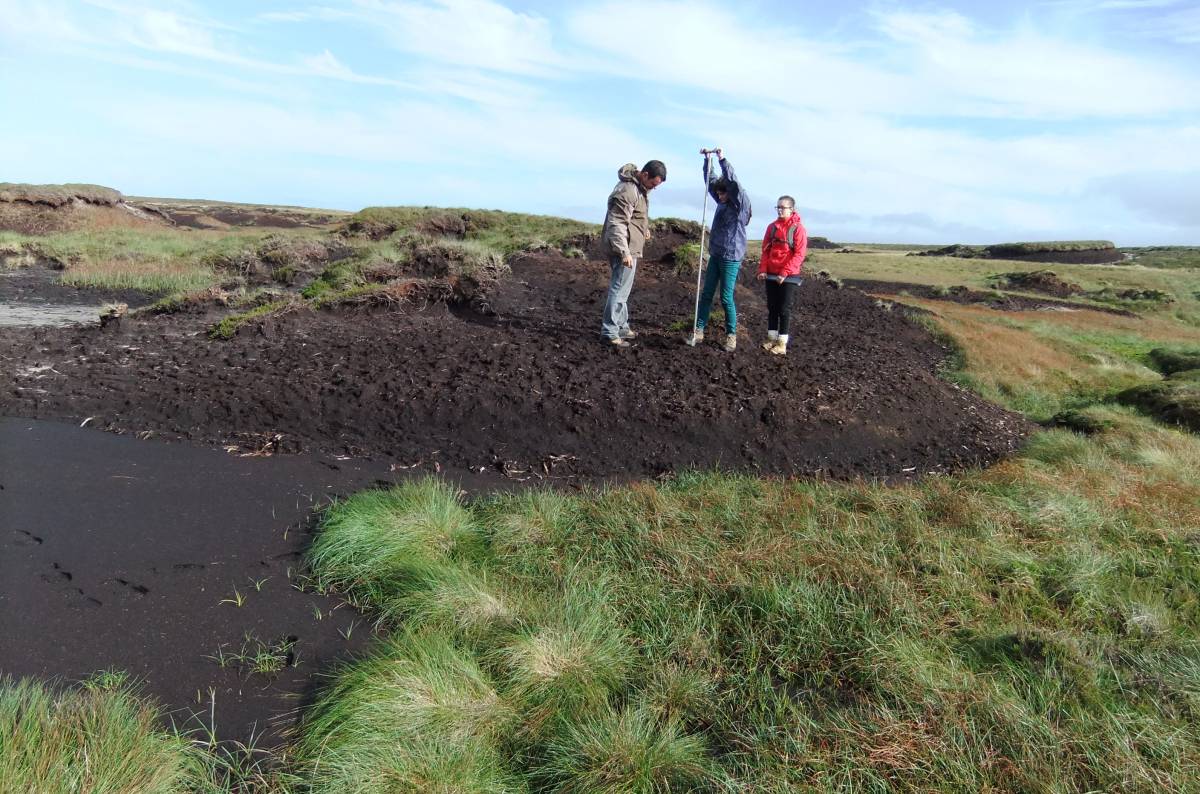
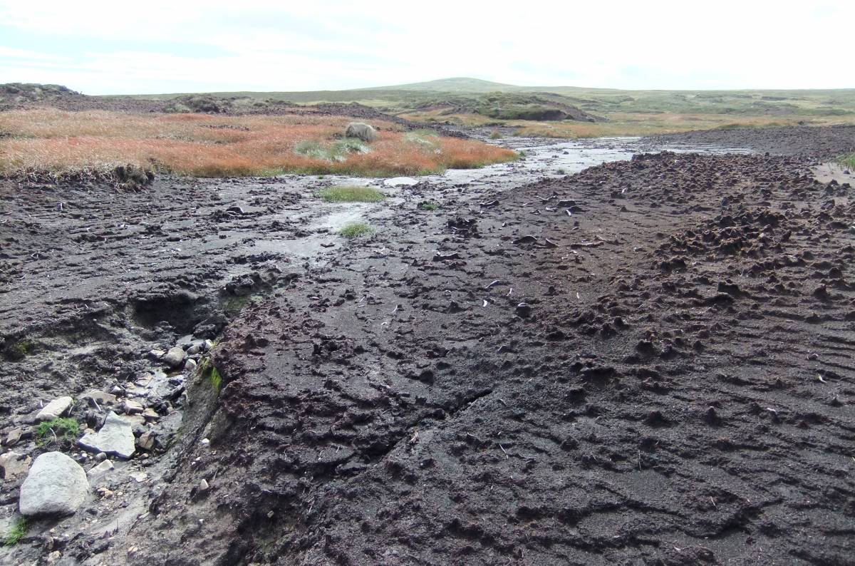
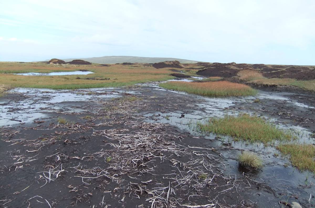
| Image 2 Description | Pollen sampling site 2. Work in progress. |  |
| Image 3 ID | 3327 Click image to enlarge |
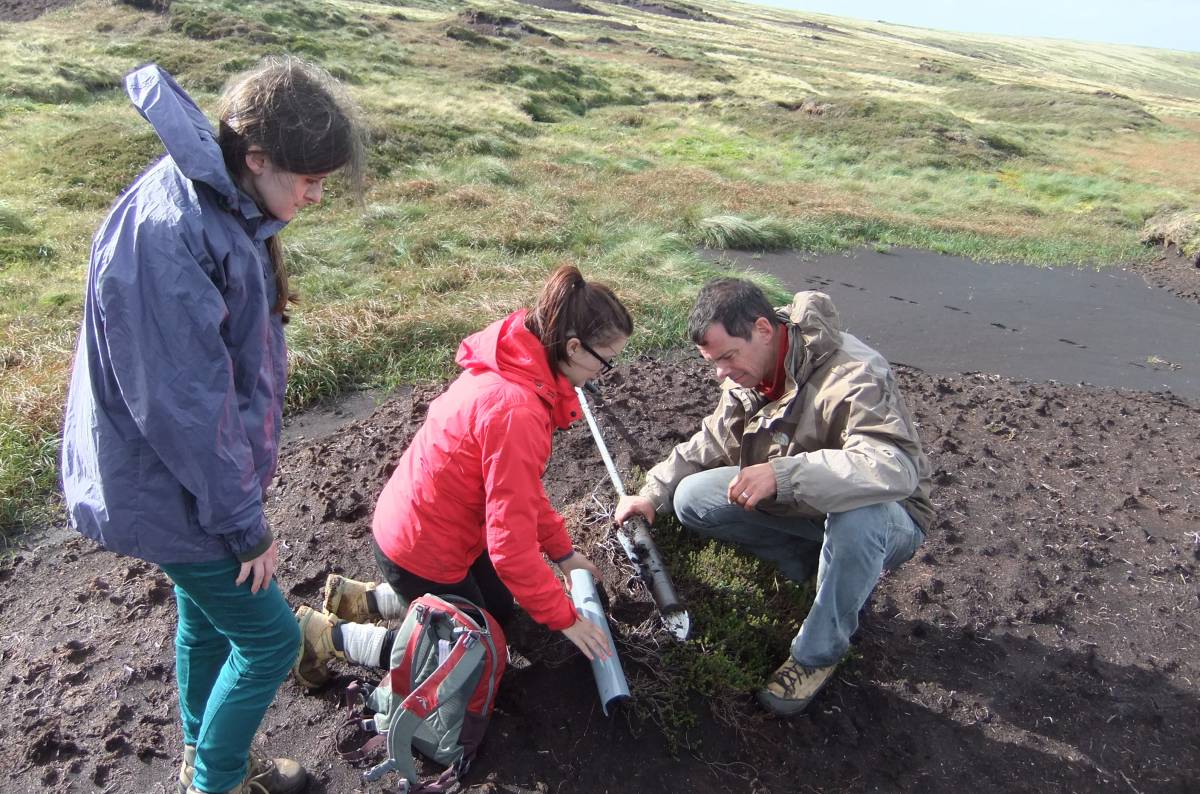
| Image 3 Description | Pollen sampling site 2. | 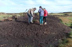 |
| Image 4 ID | 3328 Click image to enlarge |
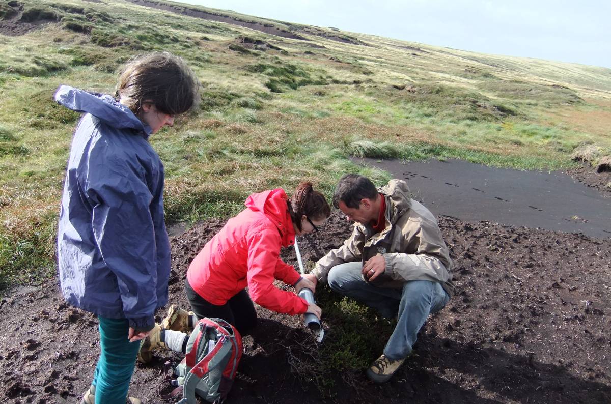
| Image 4 Description | Pollen sampling site 2. |  |
| Image 5 ID | 3329 Click image to enlarge |
| Image 5 Description | Pollen sampling site 2. | 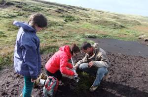 |
| Image 6 ID | 3330 Click image to enlarge |
| Image 6 Description | Pollen sampling site 2. | 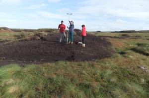 |
| Image 7 ID | 3331 Click image to enlarge |
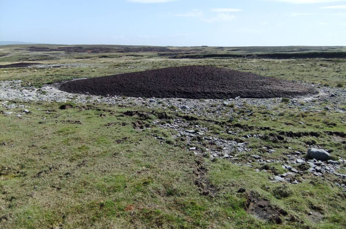
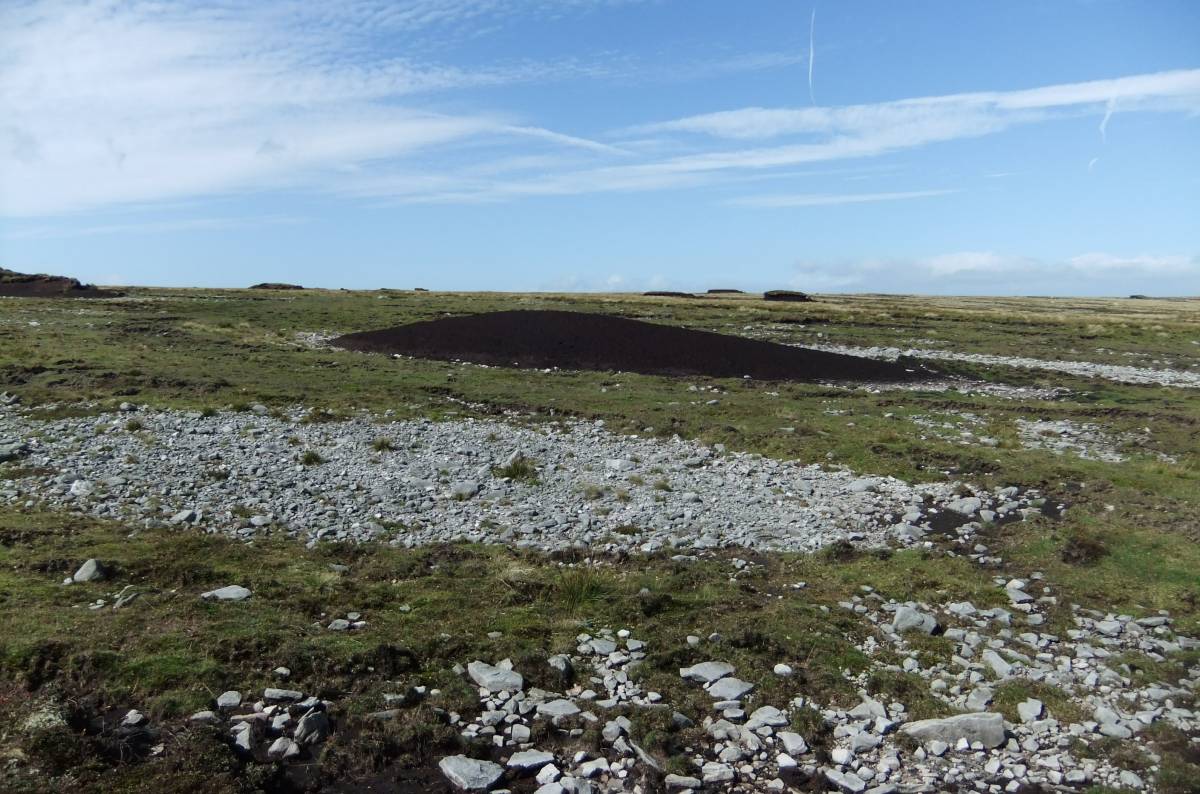
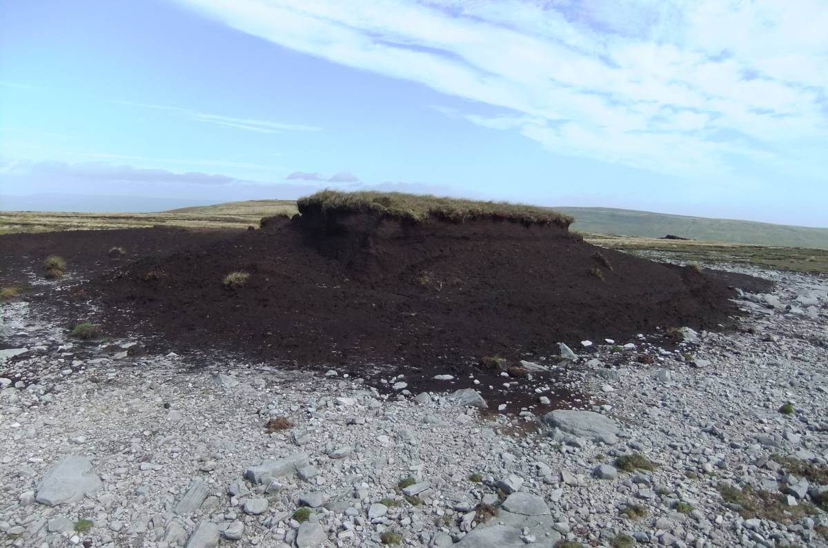
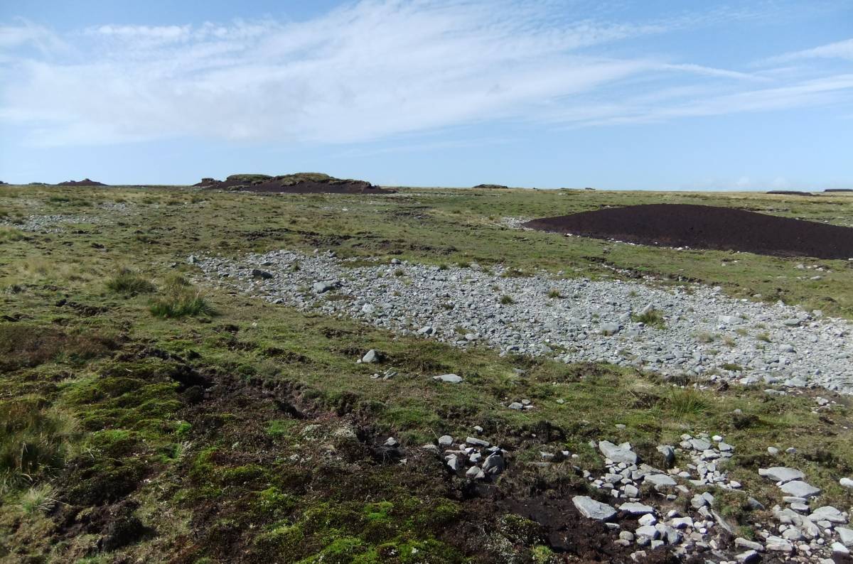
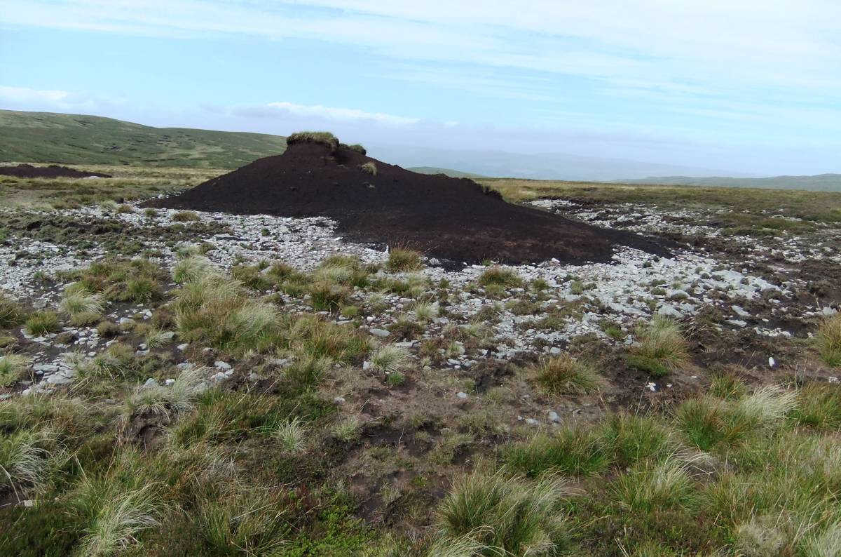
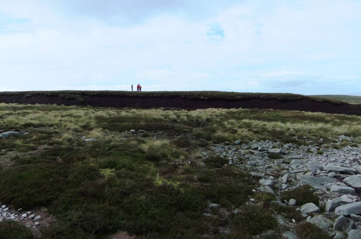
| Image 7 Description | The approach to Uldale head passing remnant islands of peat. Each with a halo of bare un vegetated ground showing rapidity of erosion. | 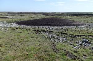 |
| Image 8 ID | 3332 Click image to enlarge |
| Image 8 Description | The approach to Uldale head passing remnant islands of peat. Each with a halo of bare un vegetated ground showing rapidity of erosion. | 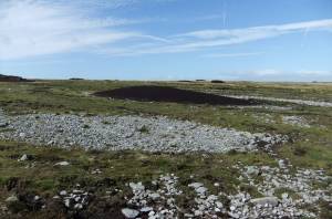 |
| Image 9 ID | 3333 Click image to enlarge |
| Image 9 Description | The approach to Uldale head passing remnant islands of peat. Each with a halo of bare un vegetated ground showing rapidity of erosion. | 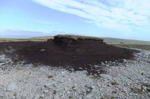 |
| Image 10 ID | 3334 Click image to enlarge |
| Image 10 Description | The approach to Uldale head passing remnant islands of peat. Each with a halo of bare un vegetated ground showing rapidity of erosion. | 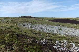 |
| Image 11 ID | 3335 |
| Image 11 Description | The approach to Uldale head passing remnant islands of peat. Each with a halo of bare un vegetated ground showing rapidity of erosion. | 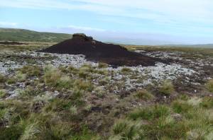 |
| Image 12 ID | 3336 |
| Image 12 Description | Uldale Beck head. Source of the Swale. | 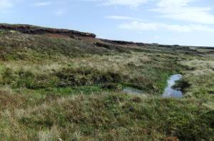 |
| Image 13 ID | 3337 |
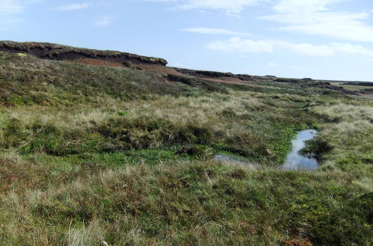
| Image 13 Description | The Tarn | 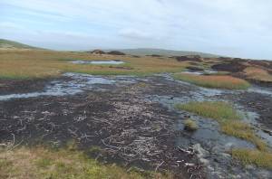 |
| Image 14 ID | 3338 |
| Image 14 Description | The Tarn | 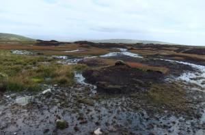 |
| Image 15 ID | 3339 |
| Image 15 Description | Pollen Site 1 | 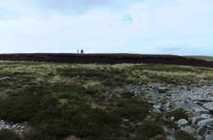 |
| Image 16 ID | 3340 |
| Image 16 Description | Pine layer. Pollen Site 1 in distance. | 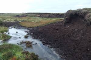 |
| Image 17 ID | 3341 |
| Image 17 Description | Tree remains, all very small- thin and stunted trees grew here at their altitudinal limit. |  |
| Image 18 ID | 3342 |
| Image 18 Description | Tree remains, all very small- thin and stunted trees grew here at their altitudinal limit. |  |
| Image 19 ID | 3343 |
| Image 19 Description | Tree remains, all very small- thin and stunted trees grew here at their altitudinal limit. | 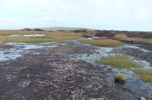 |
| Image 20 ID | 3344 |
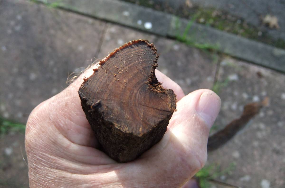
| Image 20 Description | Section of pine |  |
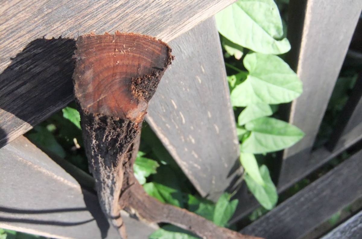
| Image 21 ID | 3345 |
| Image 21 Description | Section of pine. | 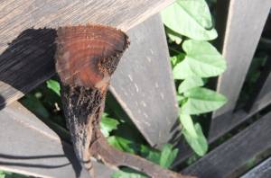 |