|
| *****SWAAG_ID***** | 619 |
| Date Entered | 10/10/2012 |
| Updated on | 11/10/2012 |
| Recorded by | Tim Laurie |
| Category | Geographical Record |
| Record Type | Northern Britain |
| SWAAG Site Name | |
| Site Type | |
| Site Name | |
| Site Description | |
| Site Access | Public Footpath |
| Record Date | 01/10/2012 |
| Location | Sedbergh CP. Footpath to Cautley Spout Waterfall. |
| Civil Parish | Not known |
| Brit. National Grid | SD 683 975 |
| Altitude | 310m |
| Geology | The Howgill Dome. Older Palaeozoic (Pre Old Red Sandstone).
Glacial corrie and hanging valley (Cautley Crags).
Stream cut ravine with continuous waterfalls (Cautley Spout). |
| Record Name | The Howgill Fells. Cautley Crags,Cautley Spout and Settlement of Romano British character. |
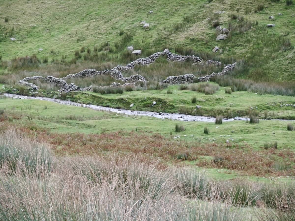
| Record Description | Relatively easy hill walk on made trackway to see the impressive glacial corrie and hanging valley at Cautley Crags, Cautley Spout waterfall and ravine (CARE needed here) and to search for and (with the assistance of an information panel), attempt to interpret the earthworks of a Late Iron Age/Native Roman Settlement located on a river terrace and crossed by the Public Footpath. Careful searching is required to identify the ancient trackway which runs through the settlement to the base of the waterfall. This trackway may or may not be contemporary with the Romano British Settlement. |
| Dimensions | See on site information panel. |
| Geographical area | |
| Species | |
| Scientific Name | |
| Common / Notable Species | |
| Tree and / or Stem Girth | |
| Tree: Position / Form / Status | |
| Tree Site ID | 0 |
| Associated Site SWAAG ID | 0 |
| Additional Notes | The settlement enclosure consists of a substantial curvilinear stone dump bank with some surviving facing stones. The round houses within the enclosure are defined by circular stone banks or small platforms and by changes of vegetation- but not very easy to interpret on the ground, but an interesting exercise of recently aquired archaeological fieldwork skills! This settlement is one of a number of similar settlements on the fringe of the Howgill Fells.
|
| Image 1 ID | 3454 Click image to enlarge |
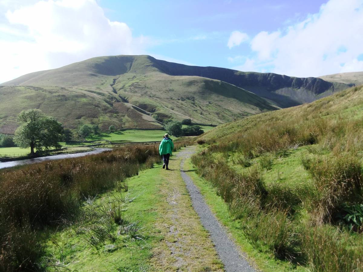
| Image 1 Description | Cautley Crags from the bridge over the River Rawthey | 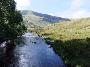 |
| Image 2 ID | 3455 Click image to enlarge |
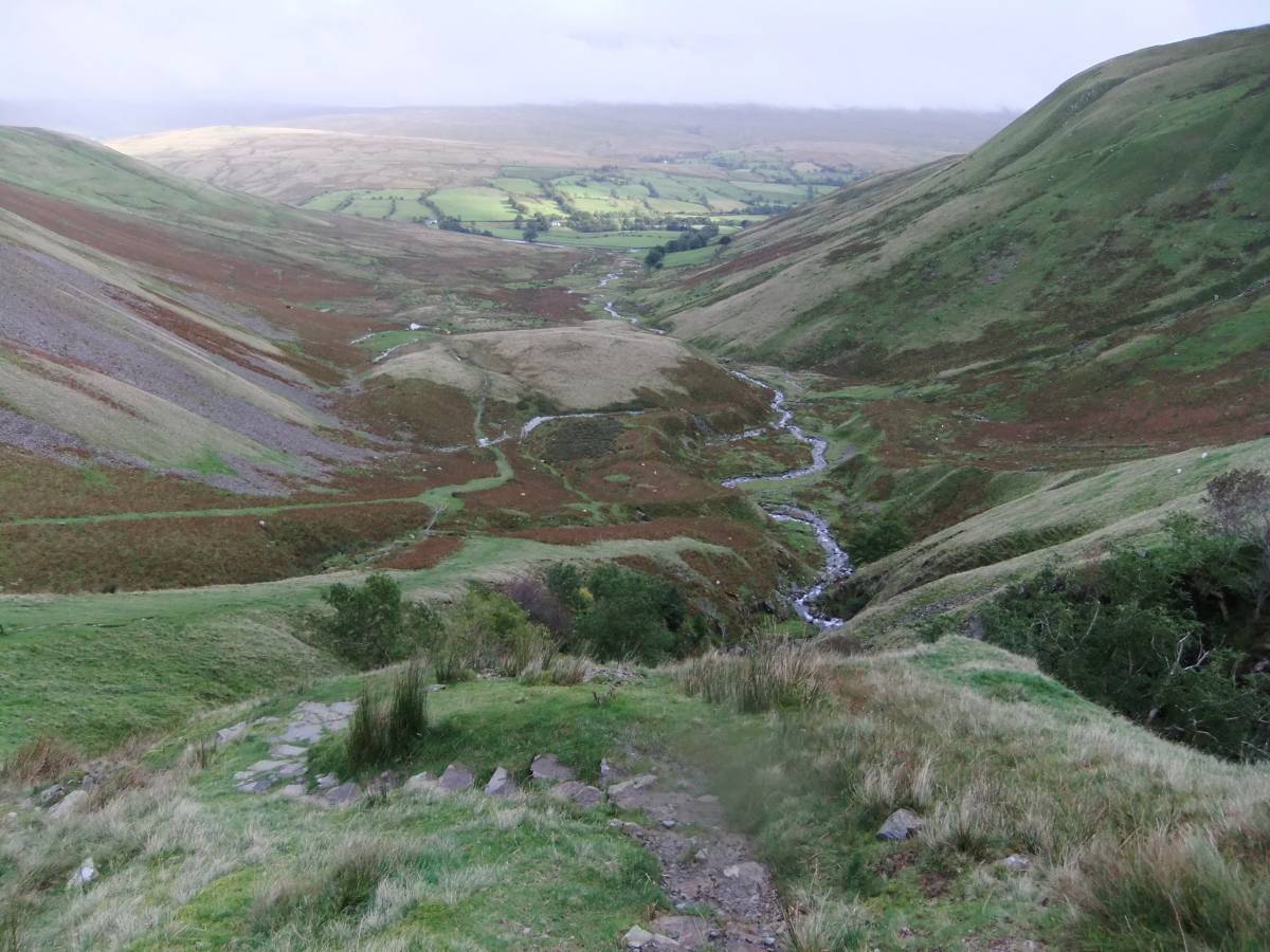
| Image 2 Description | The approach to Cauldron Spout. | 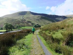 |
| Image 3 ID | 3456 Click image to enlarge |
| Image 3 Description | The River Rawthey from the footbridge. | 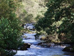 |
| Image 4 ID | 3457 Click image to enlarge |
| Image 4 Description | Approach to the Falls. | 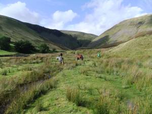 |
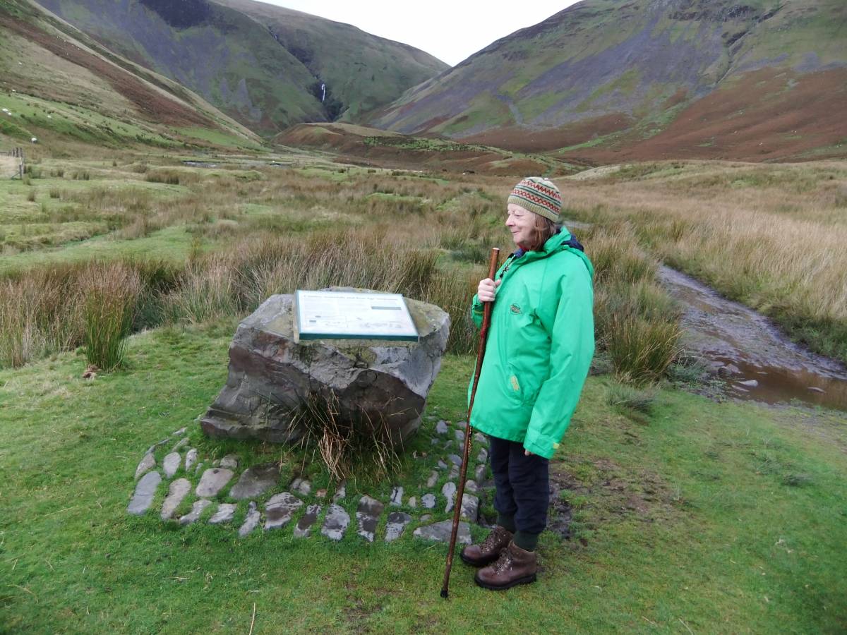
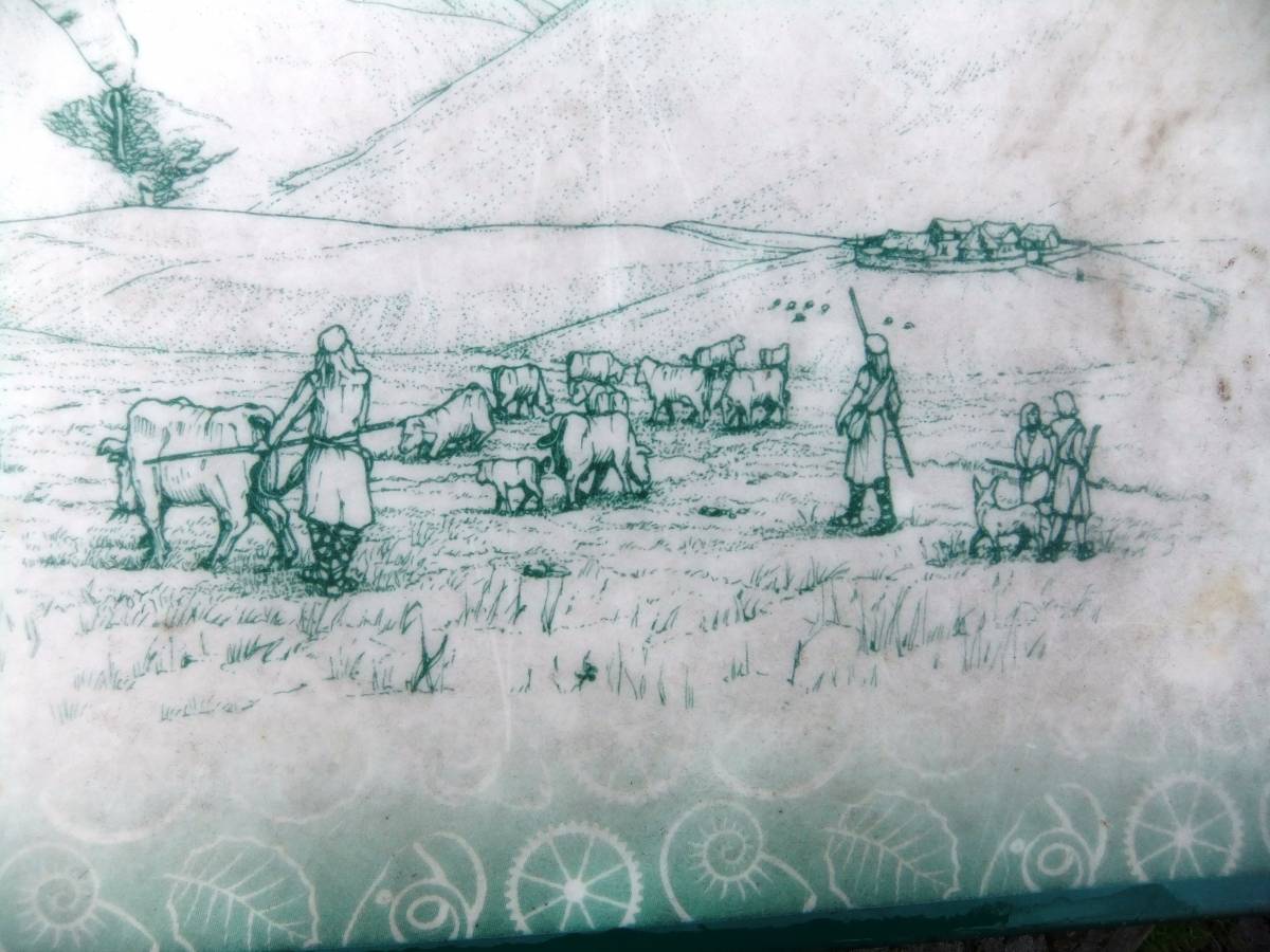
| Image 5 ID | 3475 Click image to enlarge |
| Image 5 Description | The on-site information panel. |  |
| Image 6 ID | 3473 Click image to enlarge |
| Image 6 Description | The on-site information panel. | 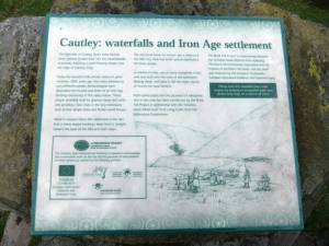 |
| Image 7 ID | 3474 Click image to enlarge |
| Image 7 Description | The on-site information panel. | 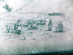 |
| Image 8 ID | 3459 Click image to enlarge |
| Image 8 Description | Washfold. | 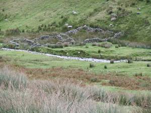 |
| Image 9 ID | 3460 Click image to enlarge |
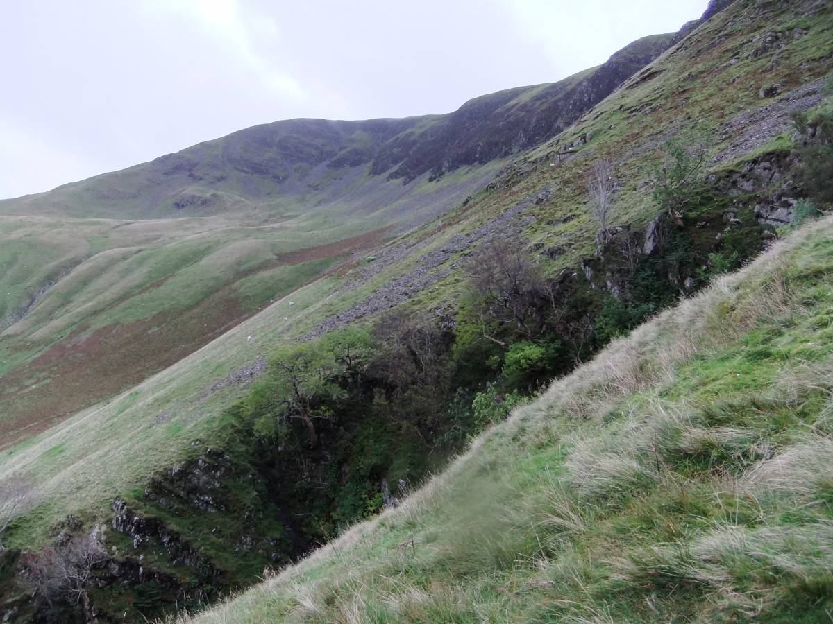
| Image 9 Description | The lower ravine with native woodland,including ash, holly,hazel, rowan, and two junipers. Wych elm and Sallows are absent. | 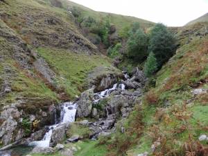 |
| Image 10 ID | 3461 Click image to enlarge |
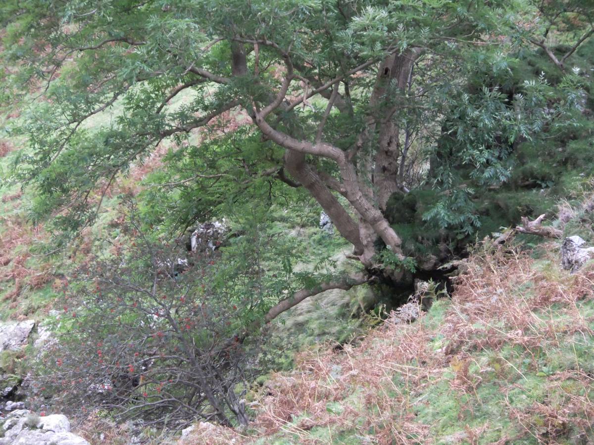
| Image 10 Description | ASh coppard. | 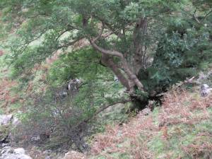 |
| Image 11 ID | 3462 |
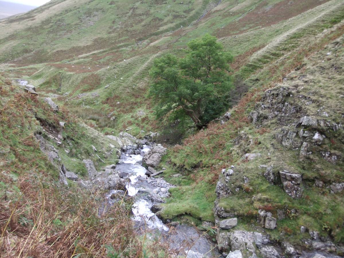
| Image 11 Description | View downstream. | 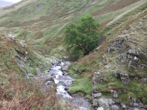 |
| Image 12 ID | 3463 |
| Image 12 Description | Holly. |  |
| Image 13 ID | 3464 |
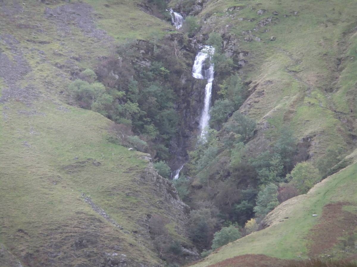
| Image 13 Description | Lower falls and ravine. | 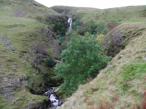 |
| Image 14 ID | 3465 |
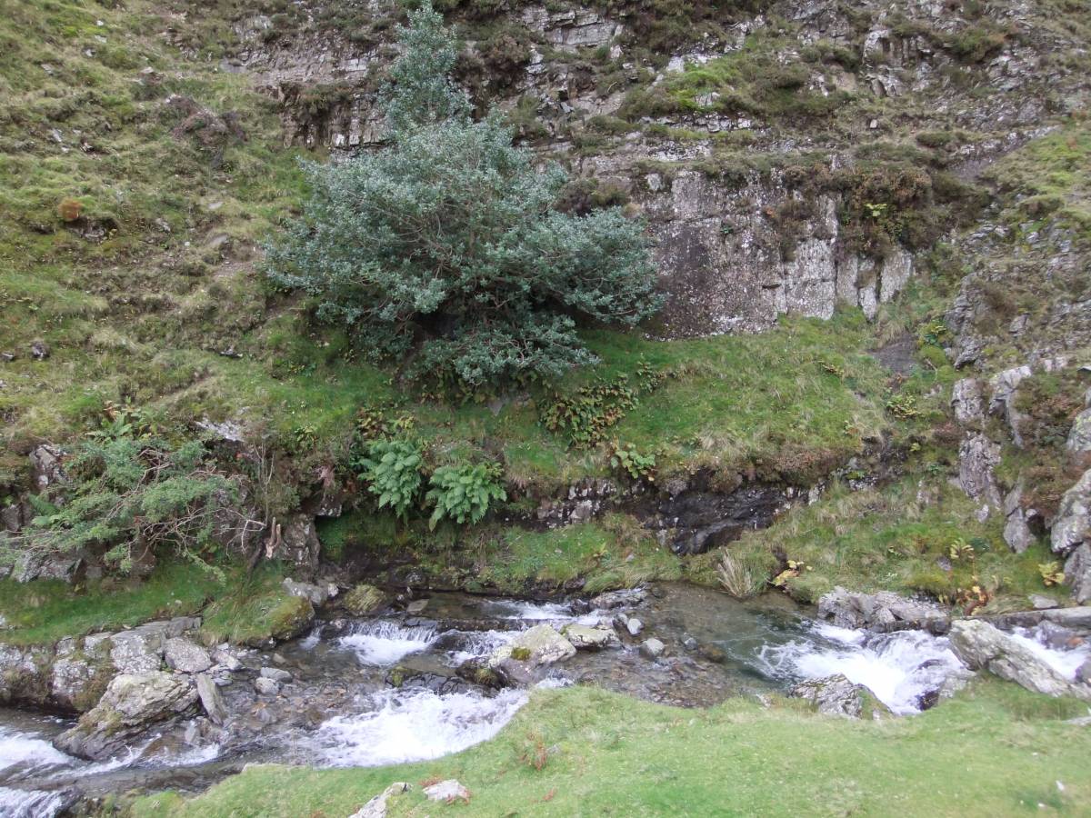
| Image 14 Description | Two isolated juniper bushes. | 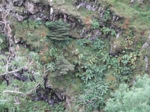 |
| Image 15 ID | 3466 |
| Image 15 Description | The Falls. Have Care! Approach no closer to the edge than this! | 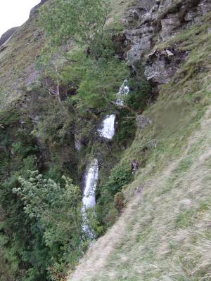 |
| Image 16 ID | 3467 |
| Image 16 Description | Cautley Crags and the Corrie. | 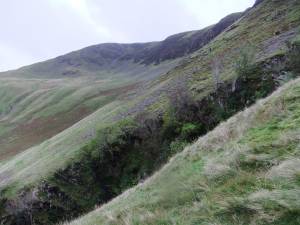 |
| Image 17 ID | 3468 |
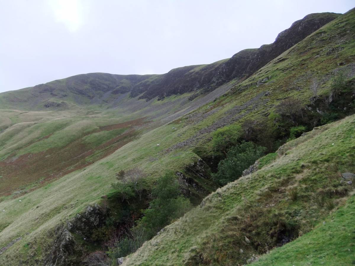
| Image 17 Description | View downstream. | 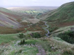 |
| Image 18 ID | 3469 |
| Image 18 Description | Cautley Crags and the Corrie. |  |
| Image 19 ID | 3470 |
| Image 19 Description | | 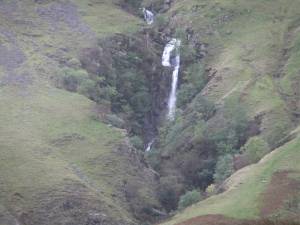 |
| Image 20 ID | 3471 |
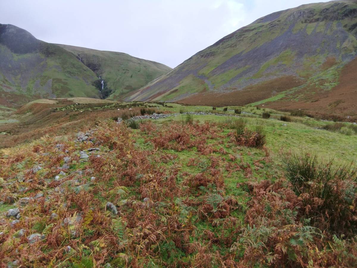
| Image 20 Description | The trackway at the settlement. | 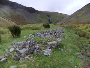 |
| Image 21 ID | 3472 |
| Image 21 Description | The settlement. | 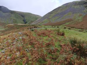 |