|
| *****SWAAG_ID***** | 620 |
| Date Entered | 19/10/2012 |
| Updated on | 20/10/2012 |
| Recorded by | Tim Laurie |
| Category | Burnt Mound |
| Record Type | Archaeology |
| SWAAG Site Name | |
| Site Type | |
| Site Name | |
| Site Description | |
| Site Access | Private |
| Record Date | 01/01/2005 |
| Location | Askrig Pasture |
| Civil Parish | Askrigg |
| Brit. National Grid | SD 93518 92754 |
| Altitude | 424m |
| Geology | Spring rise below the Underset Limestone. |
| Record Name | Askrig Pasture. Burnt Mound Site 1. |
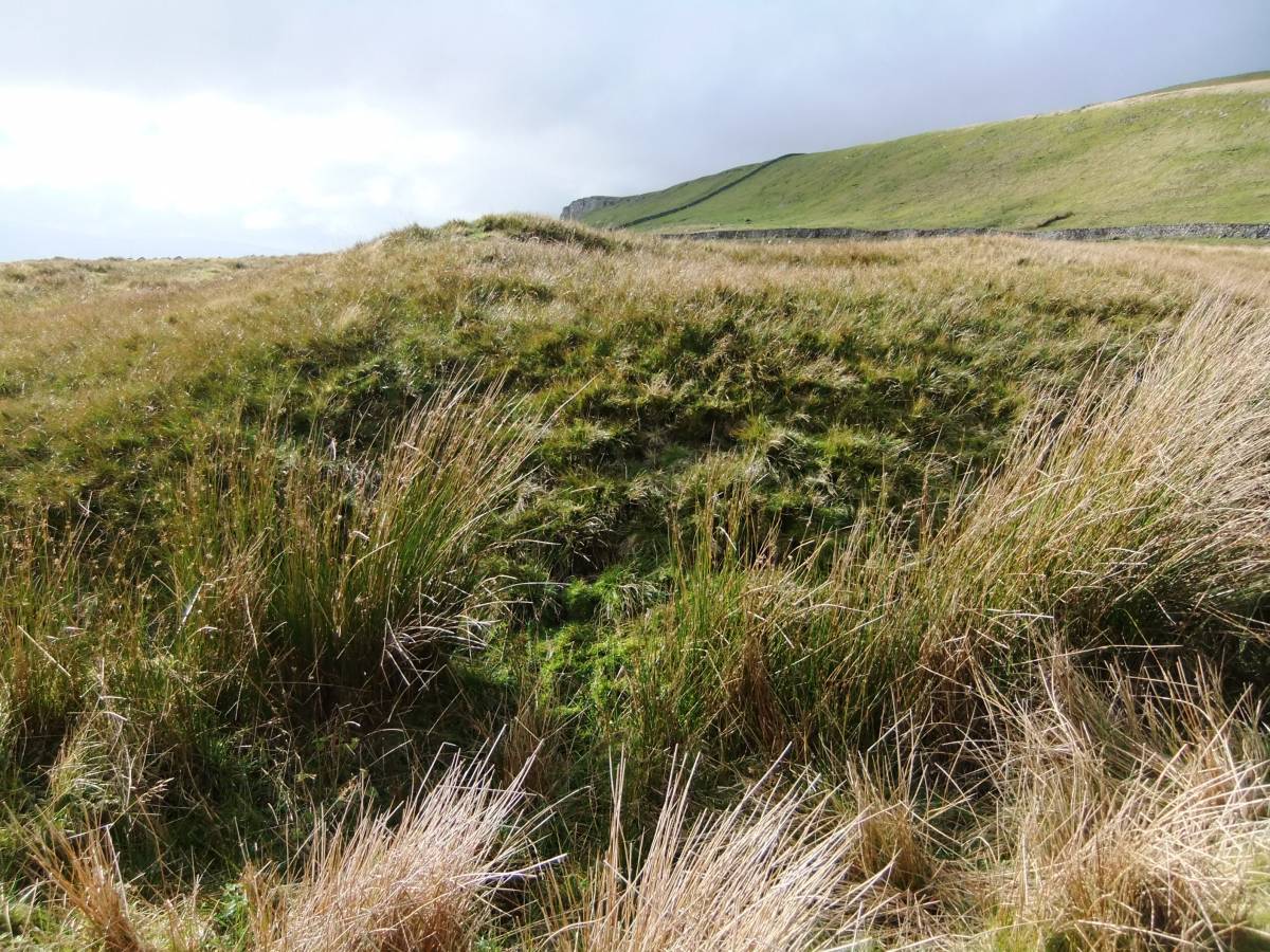
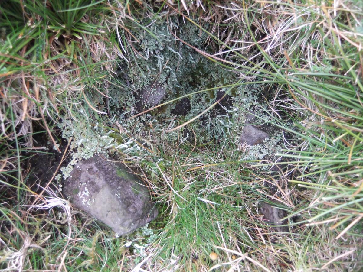
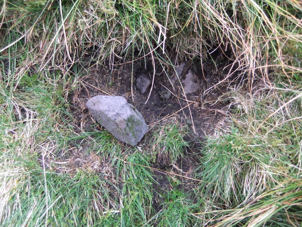
| Record Description | This very large burnt mound, measures some 14m diameter and 1.5m high, is located on the steep west bank of an abandoned spring stream some 15om below the spring rise. It is entirely turf covered but the core of burnt stone is clearly visble at one or two small erosion patches. This site is especially interesting for the presence of a central circular platform which marks the position not only of the trough but also the probable position of a shelter or tentlike structure. |
| Dimensions | 14m diameter * 1.5m high |
| Geographical area | |
| Species | |
| Scientific Name | |
| Common / Notable Species | |
| Tree and / or Stem Girth | |
| Tree: Position / Form / Status | |
| Tree Site ID | 0 |
| Associated Site SWAAG ID | 0 |
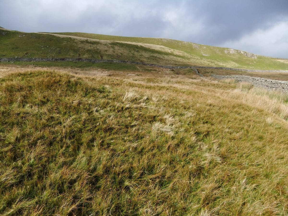
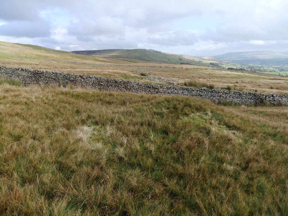
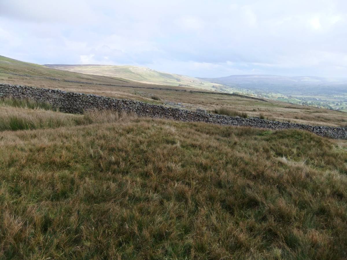
| Additional Notes | First reported by Laurie T.C., 2004. 'Burnt Mounds in Wensleydale and Swaledale.' in R.F. White and P.R.Wilson Eds. Archaeology and Historic Landscapes of the Yorkshire Dales. For details of the landscape setting of this site, see photographs. This burnt mound is, at 424m elevation, the uppermost of an open group of four burnt mounds on Askrig Pasture, see also subsequent Database Records Nos 621,622 and 623. |
| Image 1 ID | 3476 Click image to enlarge |
| Image 1 Description | The burnt mound. | 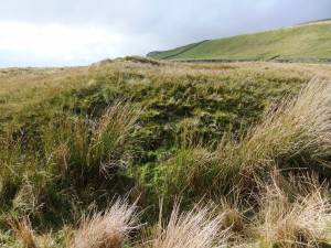 |
| Image 2 ID | 3477 Click image to enlarge |
| Image 2 Description | |  |
| Image 3 ID | 3478 Click image to enlarge |
| Image 3 Description | |  |
| Image 4 ID | 3479 Click image to enlarge |
| Image 4 Description | | 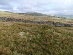 |
| Image 5 ID | 3480 Click image to enlarge |
| Image 5 Description | | 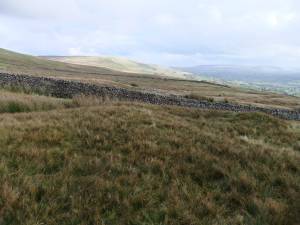 |
| Image 6 ID | 3481 Click image to enlarge |
| Image 6 Description | Burnt stone core of mound visible in erosion patches. | 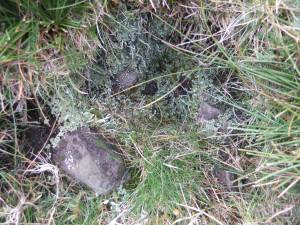 |
| Image 7 ID | 3482 Click image to enlarge |
| Image 7 Description | Burnt stone core of mound visible in erosion patches. | 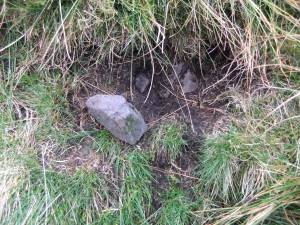 |
| Image 8 ID | 3483 Click image to enlarge |
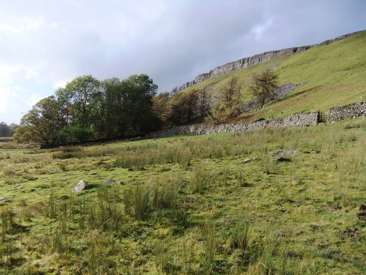
| Image 8 Description | Whitfield Scar, a Scar or cliff formed by the Underset Limestone, as seen from Askrig Pasture. | 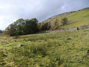 |