|
| *****SWAAG_ID***** | 817 |
| Date Entered | 22/07/2014 |
| Updated on | 22/07/2014 |
| Recorded by | Tim Laurie |
| Category | Geological Record |
| Record Type | Geomorphology |
| SWAAG Site Name | |
| Site Type | |
| Site Name | |
| Site Description | |
| Site Access | Public Access Land |
| Record Date | 21/07/2014 |
| Location | Helbeck Fell above Brough. Mount Ida. |
| Civil Parish | Not known |
| Brit. National Grid | NY 793 165 |
| Altitude | 380m |
| Geology | Strongly faulted limestone strata on the Barnarm Fault, an element in the Pennine Fault System. |
| Record Name | The Helbeck and Barnarm Faults. Elements of the Pennine Fault System well exposed at Mt Ida above Brough |
| Record Description | Well exposed limestone Great Scar Limestone strata on the line of the Barnarm Fault below Mt Ida showing a steep monocline structure and tightly folded and vertically inclined beds overlain by overhanging and horizontal beds of the Robinson Limestone. |
| Dimensions | See photographs |
| Geographical area | |
| Species | |
| Scientific Name | |
| Common / Notable Species | |
| Tree and / or Stem Girth | |
| Tree: Position / Form / Status | |
| Tree Site ID | 0 |
| Associated Site SWAAG ID | 0 |
| Additional Notes | These strongly inclined and contorted beds of limestone above the fault scars on Barnarm Scar and at Mount Ida are the spectacular consequence of a long lasting series of uplift and dislocation of the Great Scar and Robinson Limestones which are the Lower Beds in the Carboniferous Limestone Series. These limestones, which now form the high edge of the Pennine Escarpment, once were buried deep below the Triassic red sandstones of the Vale of Eden. |
| Image 1 ID | 5601 Click image to enlarge |
| Image 1 Description | Distant view of Mt Ida from Barnam Scar above Helbeck Wood. | 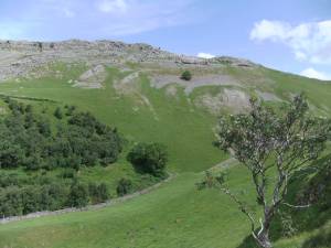 |
| Image 2 ID | 5599 Click image to enlarge |
| Image 2 Description | Closer view and the limestone strata can be seen dipping at 70degrees on the south arm of the monocline | 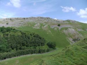 |
| Image 3 ID | 5600 Click image to enlarge |
| Image 3 Description | The south edge of the strata on Mt Ida. With overhanging horizontal strata overlying contorted and folded strata on the Barnarm Fault. | 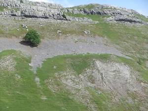 |
| Image 4 ID | 5602 Click image to enlarge |
| Image 4 Description | Barnarm Scar, a north facing fault scarp which, together with the south face of Mt Ida forms one of several deep dry valleys or gorge like structures each marking a different fault. | 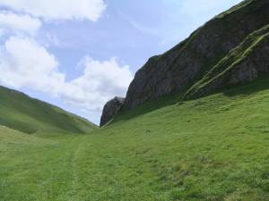 |
| Image 5 ID | 5608 Click image to enlarge |
| Image 5 Description | A lone raven watches from a residual slab of limestorne which escaped removal by the Stainmore Ice. | 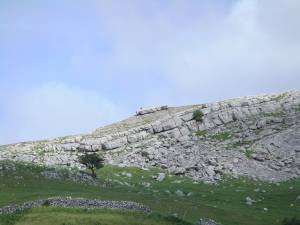 |
| Image 6 ID | 5603 Click image to enlarge |
| Image 6 Description | Horizontal strata overlie contorted strata. | 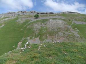 |
| Image 7 ID | 5604 Click image to enlarge |
| Image 7 Description | Detail of the vertically incline and folded beds. | 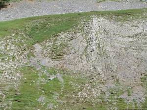 |
| Image 8 ID | 5606 Click image to enlarge |
| Image 8 Description | Horizontal strata of the Robinson Limestone overlie tightly folded and vertically inclined strata of the Great Scar Limestone. | 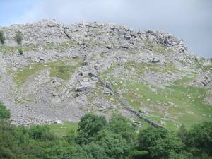 |
| Image 9 ID | 5609 Click image to enlarge |
| Image 9 Description | The lower face of Barnarm Scar. | 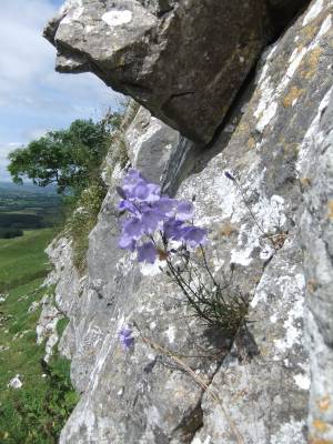 |
| Image 10 ID | 5610 Click image to enlarge |
| Image 10 Description | Barnarm Scar with fine old ash trees and a young bird sown yew tree. | 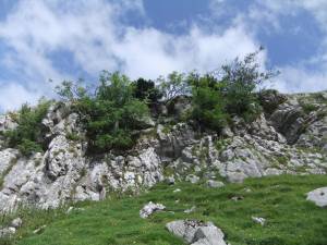 |


