|
| *****SWAAG_ID***** | 723 |
| Date Entered | 05/05/2013 |
| Updated on | 05/05/2013 |
| Recorded by | Tim Laurie |
| Category | Tree Site Record |
| Record Type | Botanical HER |
| SWAAG Site Name | |
| Site Type | |
| Site Name | |
| Site Description | |
| Site Access | Public Access Land |
| Record Date | 03/05/2013 |
| Location | Walden Head. Willy\'s Gill. The Fairy Scar. |
| Civil Parish | Burton cum Walden |
| Brit. National Grid | SD 9810 8097 |
| Altitude | 430m |
| Geology | Underset Limestone exposed as a cliff with large slumped stack and scree talus slope below. |
| Record Name | Walden Head. Willy's Gill. The Fairy Scar. Relict Limestone Ashwood community. |
| Record Description | This record is of the woodland which survives on the limestone cliff known as The Fairy Scar on the eastern side of Willy's Gill. This Scar is the middle of three scars at different elevations on the est side of Willy's Gill.
Trees as seen from the opposite side of the Gill include: ash, wych elm visible as dead fallen trunks, sallows, hazel, bird cherry, rowan, ivy. Hawthorn, blackthorn and downy rose may be present. |
| Dimensions | See photos. |
| Geographical area | Wensleydale |
| Species | Ash |
| Scientific Name | |
| Common / Notable Species | See above |
| Tree and / or Stem Girth | |
| Tree: Position / Form / Status | |
| Tree Site ID | 0 |
| Associated Site SWAAG ID | 0 |
| Additional Notes | In contrast to the wealth of cliff yews and the widely distributed juniper on the limestone scars of Swaledale at similar elevation, yew and juniper are absent from this scar as elsewhere in Wensleydale where yew is recorded only at one cliff location. |
| Image 1 ID | 4402 Click image to enlarge |
| Image 1 Description | Willy's Gill. The Fairy Scar and slumped cliff stack seen from the west. | 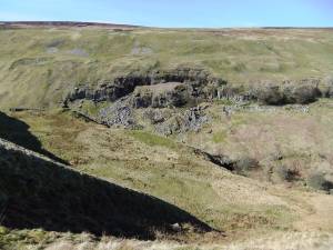 |
| Image 2 ID | 4405 Click image to enlarge |
| Image 2 Description | | 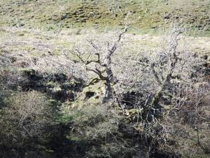 |
| Image 3 ID | 4406 Click image to enlarge |
| Image 3 Description | | 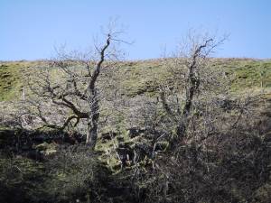 |
| Image 4 ID | 4407 Click image to enlarge |
| Image 4 Description | | 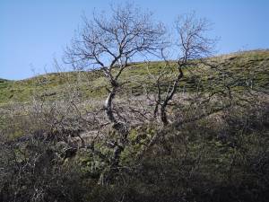 |
| Image 6 ID | 4409 Click image to enlarge |
| Image 6 Description | The Fairy Scar- upper scar and Falls Scar-lower scar seen from opposite side of the Gill. | 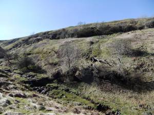 |
| Image 7 ID | 4410 Click image to enlarge |
| Image 7 Description | | 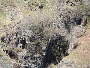 |
| Image 8 ID | 4411 Click image to enlarge |
| Image 8 Description | | 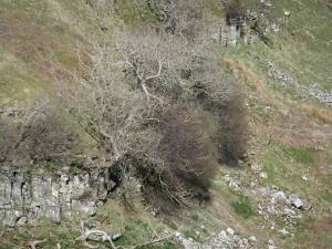 |
| Image 9 ID | 4412 Click image to enlarge |
| Image 9 Description | | 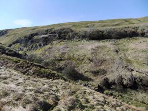 |
| Image 10 ID | 4403 Click image to enlarge |
| Image 10 Description | | 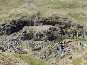 |


