|
| *****SWAAG_ID***** | 725 |
| Date Entered | 10/05/2013 |
| Updated on | 10/05/2013 |
| Recorded by | Tim Laurie |
| Category | Tree Site Record |
| Record Type | Botanical HER |
| SWAAG Site Name | |
| Site Type | |
| Site Name | |
| Site Description | |
| Site Access | Public Access Land |
| Record Date | 02/05/2013 |
| Location | Wensleydale, Walden Head. Willy\'s Gill |
| Civil Parish | Burton cum Walden |
| Brit. National Grid | SD 9830 8092 |
| Altitude | 380m |
| Geology | |
| Record Name | Walden. Willy's Gill. The Waterfall Scar Relict limestone ash woodland community with aspen clones with |
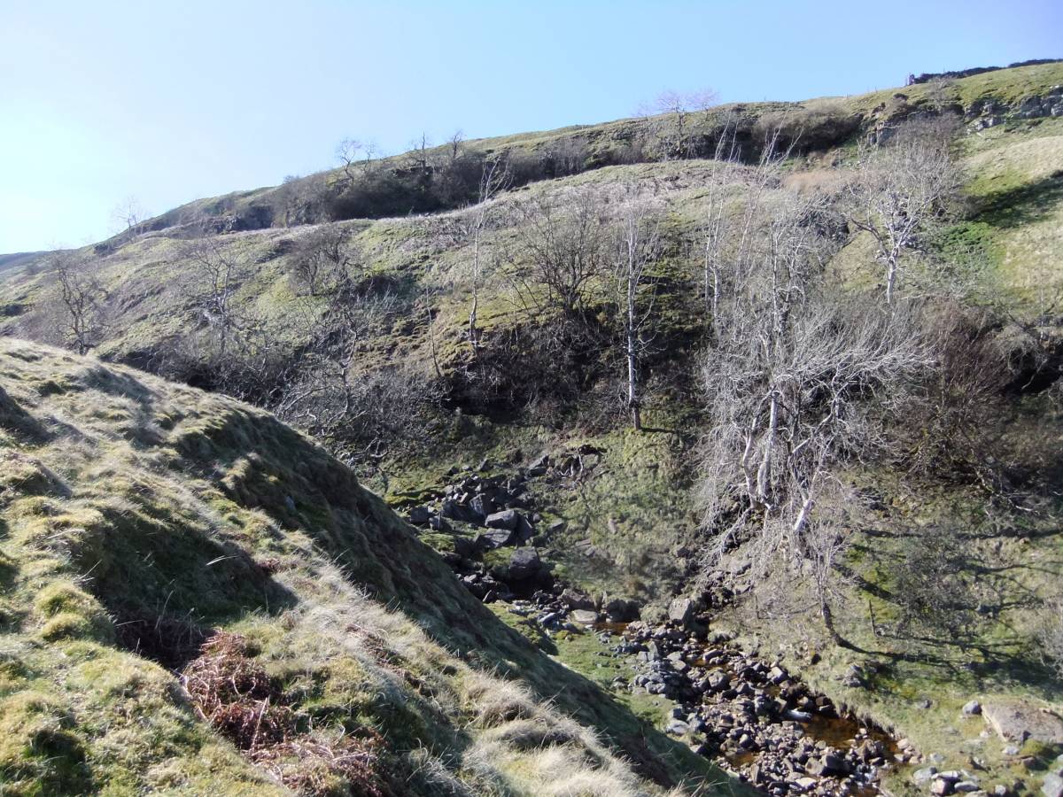
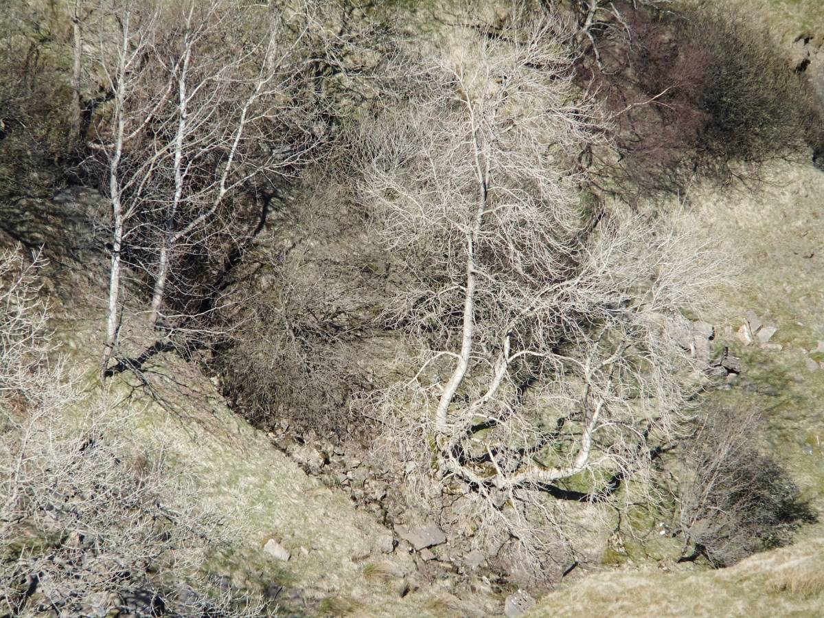
| Record Description | This record is of the woodland which survives on the small outcrop of limestone on the east bank of Willy's Gill below the waterfall and directly below The Fairy Scar. This Scar is the lowest of three scars at different elevations on the est side of Willy's Gill. Trees as seen from the opposite side of the Gill include: ash, aspen, sallows, hazel, bird cherry, rowan. |
| Dimensions | See photos |
| Geographical area | Wensleydale |
| Species | Aspen. |
| Scientific Name | Populus tremula |
| Common / Notable Species | Ash, Sallow (Salix spp), Rowan. Hazel.
Note a further visit to this location will be made in summer to record the vegetation. |
| Tree and / or Stem Girth | |
| Tree: Position / Form / Status | |
| Tree Site ID | 0 |
| Associated Site SWAAG ID | 0 |
| Additional Notes | The presence here of a cloned colony of aspen (Populus tremula) is of special interest since whereas aspens occur within hedgerows lower down in Wensleydale, this is the first record of aspen above 350m in Wensleydale. In contrast, aspens are recorded as present above 350m at many locations in Swaledale and often in association with juniper. Juniper was recorded by Percival at four locations in Wensleydale but none of these records has been recently confirmed.(Millward, 1988.Juniper is now probably absent from the entire Ure Catchment. Fossil juniper has however just now been recognised below thin blanket peat above Walden Head above Fossedale Gill at an elevation of 540m some 2km to the SW.
Reference:
Millward, D. 1988. 'A Flora of Wensleydale.' The Yoredale Natural History Society. |
| Image 1 ID | 4415 Click image to enlarge |
| Image 1 Description | Walden. Willy's Gill. The Waterfall Scar Relict limestone ash woodland community with aspen clones. | 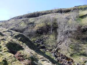 |
| Image 2 ID | 4416 Click image to enlarge |
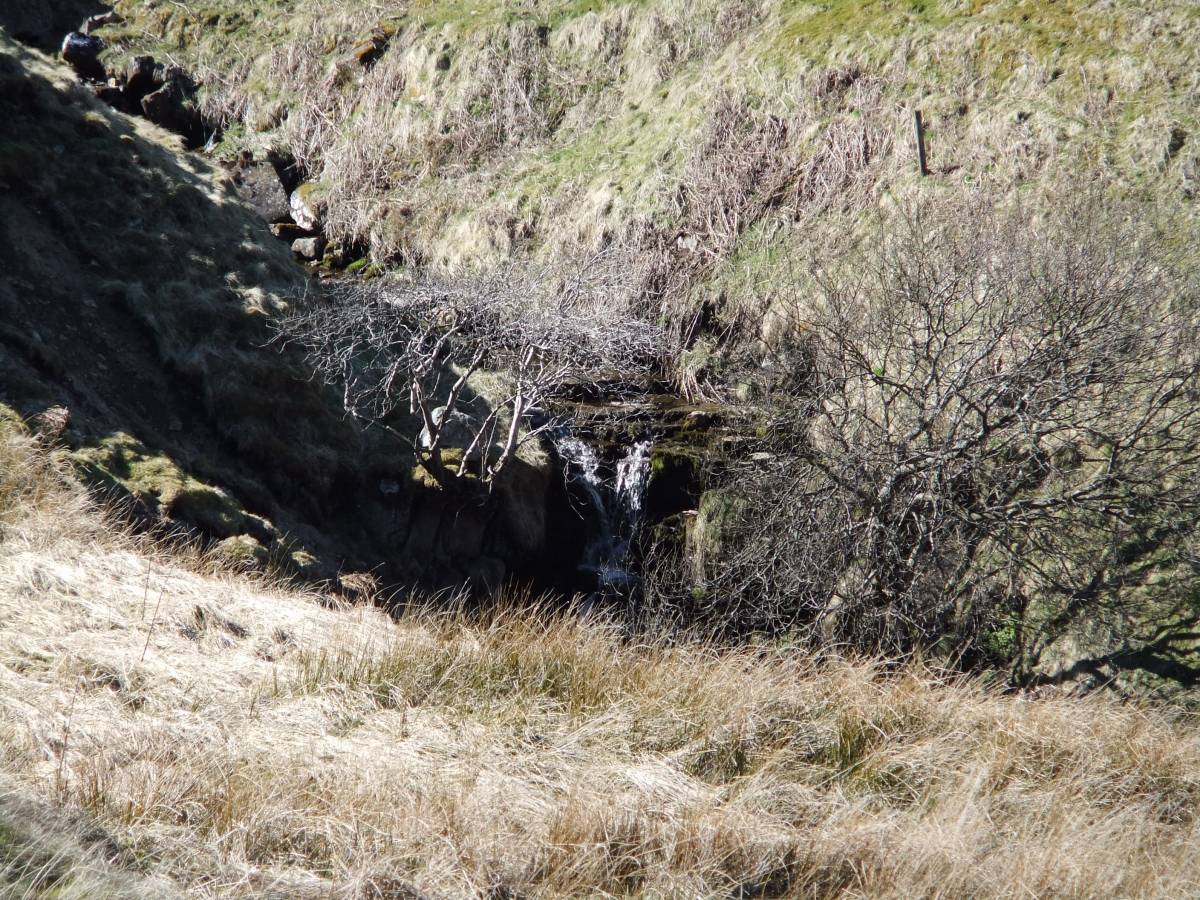
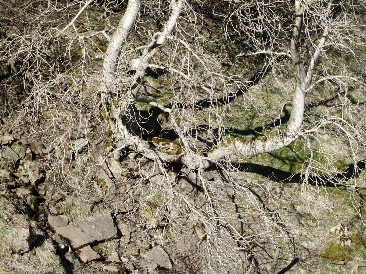
| Image 2 Description | The Falls with rowan and sallows. | 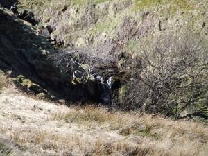 |
| Image 3 ID | 4417 Click image to enlarge |
| Image 3 Description | | 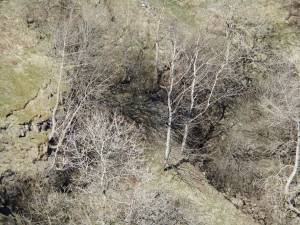 |
| Image 4 ID | 4418 Click image to enlarge |
| Image 4 Description | The Waterfall Scar Relict limestone ash woodland community with aspen clones. | 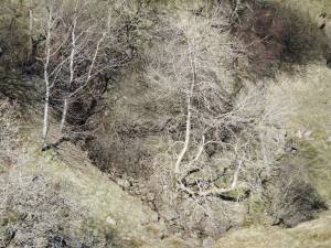 |
| Image 5 ID | 4419 Click image to enlarge |
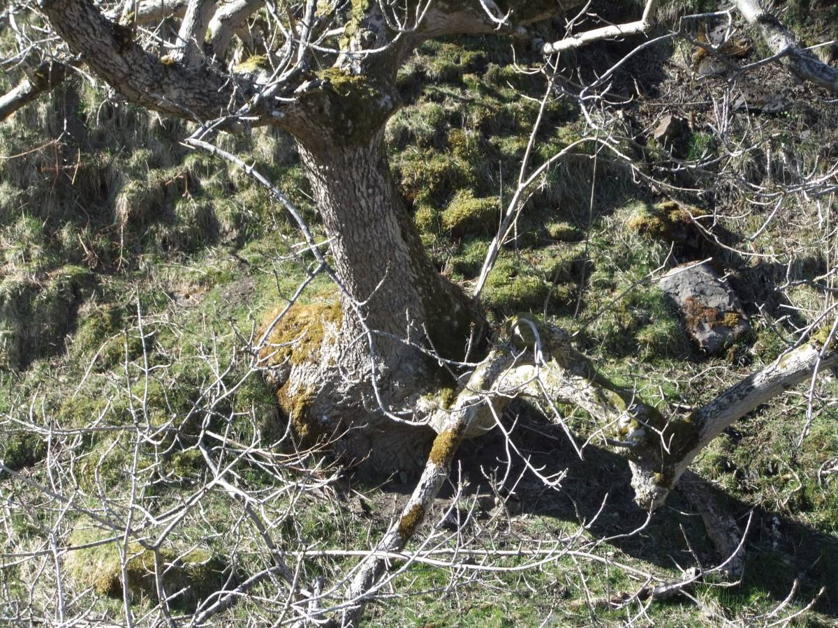
| Image 5 Description | Ash tree, detail. |  |
| Image 6 ID | 4420 Click image to enlarge |
| Image 6 Description | Ash tree, detail. | 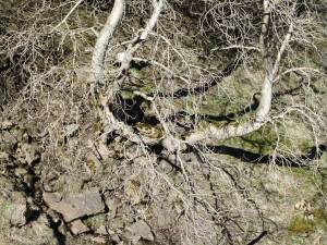 |