|
| *****SWAAG_ID***** | 713 |
| Date Entered | 07/04/2013 |
| Updated on | 07/04/2013 |
| Recorded by | Tim Laurie |
| Category | Geographical Record |
| Record Type | General HER |
| SWAAG Site Name | |
| Site Type | |
| Site Name | |
| Site Description | |
| Site Access | Public Footpath |
| Record Date | 04/04/2013 |
| Location | The Goats Road from Hurst to Holgate. A fine day in April> |
| Civil Parish | Marrick |
| Brit. National Grid | NZ 064 035 |
| Altitude | 315m |
| Geology | |
| Record Name | A fine day in April. The Goats Road from Holgate to Hurst. The way home. |
| Record Description | The Goats Road from Holgate used to be my way from Barningham via Holgate to the Green Dragon at Hurst -in summer!
Now the Green Dragon has gone and Global Warming Looms. |
| Dimensions | |
| Geographical area | |
| Species | |
| Scientific Name | |
| Common / Notable Species | |
| Tree and / or Stem Girth | |
| Tree: Position / Form / Status | |
| Tree Site ID | 0 |
| Associated Site SWAAG ID | 0 |
| Additional Notes | |
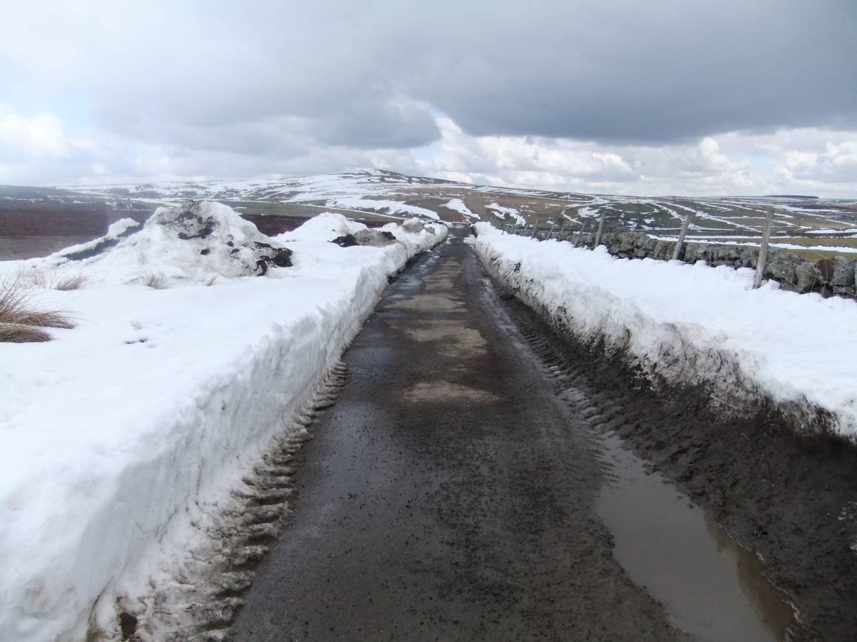
| Image 1 ID | 4336 Click image to enlarge |
| Image 1 Description | The Goats Road. Holgate How in distance |  |
| Image 2 ID | 4337 Click image to enlarge |
| Image 2 Description | The Goats Road. View towards Hurst from Schoolmaster Pasture. | 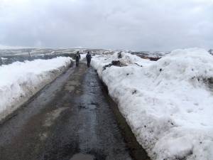 |
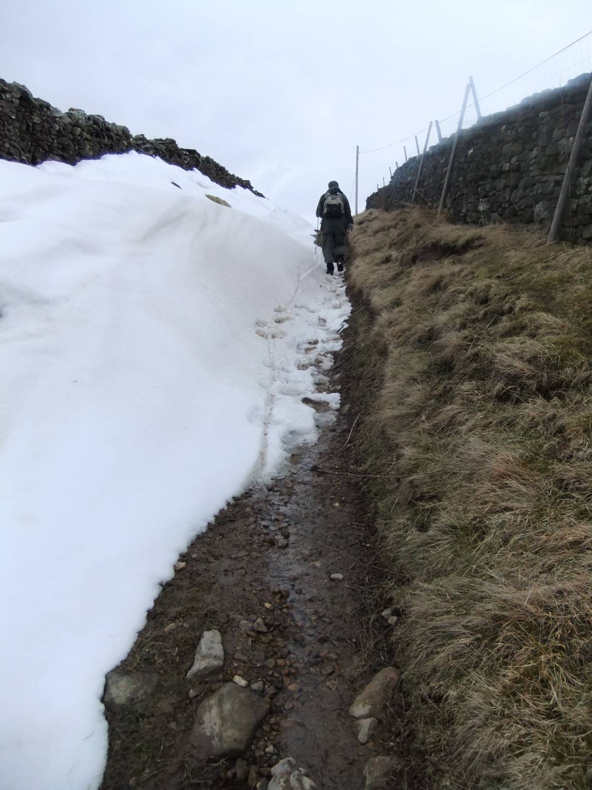
| Image 3 ID | 4338 Click image to enlarge |
| Image 3 Description | The climb up from Holgate. | 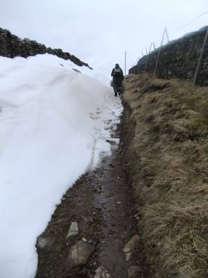 |