|
| *****SWAAG_ID***** | 719 |
| Date Entered | 22/04/2013 |
| Updated on | 22/04/2013 |
| Recorded by | Tim Laurie |
| Category | Settlement |
| Record Type | Archaeology |
| SWAAG Site Name | |
| Site Type | |
| Site Name | |
| Site Description | |
| Site Access | Public Access Land |
| Record Date | 01/01/2005 |
| Location | Marrick Moor. Copperthwaite Allotment. East of Raygill. |
| Civil Parish | Marrick |
| Brit. National Grid | SE 0613 9883 |
| Altitude | 350m |
| Geology | Curvilinear stone banked enclosure with two hut circles attached to the eastern perimeter. Overlain by large shaft mound on northern perimeter. Large burnt mound (SWAAG 718) at spring rise some 70m to the east. |
| Record Name | Curvilinear stone banked enclosure east of Raygill, Copperthwaite Allotment. |
| Record Description | |
| Dimensions | |
| Geographical area | |
| Species | |
| Scientific Name | |
| Common / Notable Species | |
| Tree and / or Stem Girth | |
| Tree: Position / Form / Status | |
| Tree Site ID | 0 |
| Associated Site SWAAG ID | 0 |
| Additional Notes | |
| Image 1 ID | 4391 Click image to enlarge |
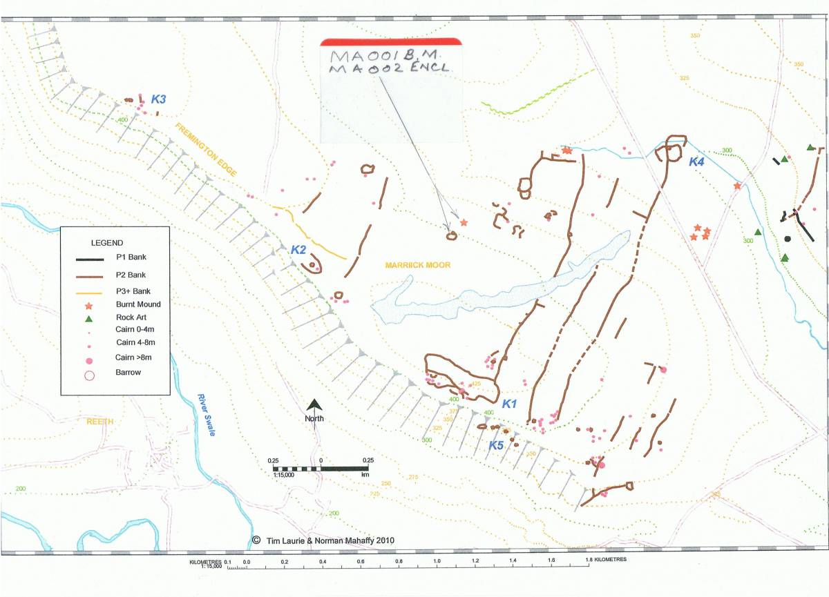
| Image 1 Description | Location of the enclosure and burnt mound, Laurie et al 2011 figure 6.17 annotated. |  |
| Image 2 ID | 4389 Click image to enlarge |
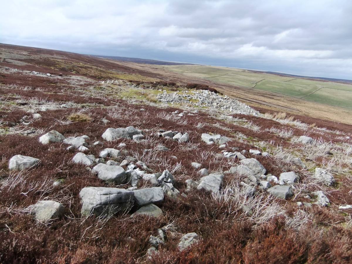
| Image 2 Description | The enclosure with two attached hut circles. | 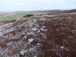 |
| Image 3 ID | 4390 Click image to enlarge |
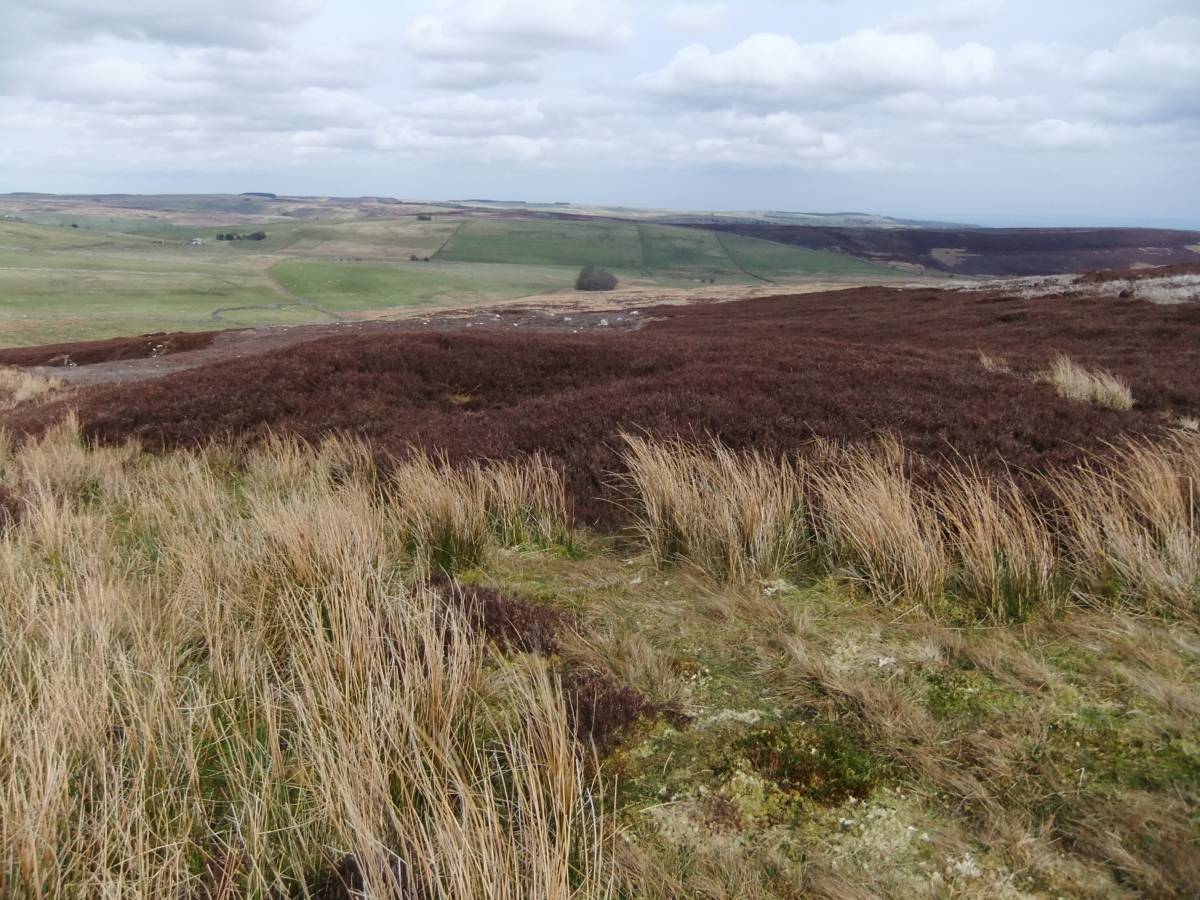
| Image 3 Description | The enclosure with shaft mound | 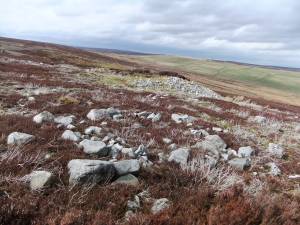 |
| Image 4 ID | 4388 Click image to enlarge |
| Image 4 Description | This large burnt mound is just 70m downslope from the enclosure |  |