|
| *****SWAAG_ID***** | 54 |
| Date Entered | 11/01/2011 |
| Updated on | 13/12/2011 |
| Recorded by | Tim Laurie |
| Category | Burnt Mound |
| Record Type | Archaeology |
| SWAAG Site Name | |
| Site Type | |
| Site Name | |
| Site Description | |
| Site Access | Public Access Land |
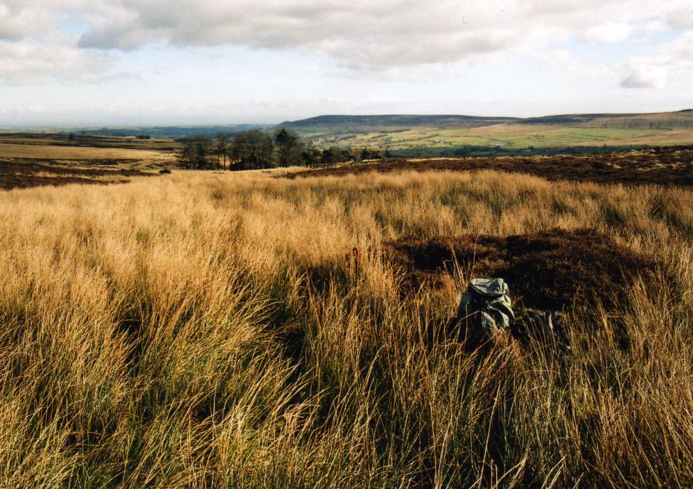
| Location | Howden Lodge. In marsh 500m to west of the Lodge. |
| Civil Parish | Carlton Town |
| Brit. National Grid | SE 041 846 |
| Altitude | 430m |
| Geology | |
| Record Name | Carlton Town CP. Howden Lodge. Burnt Mound in marsh. |
| Record Description | Large, Average In marsh. Cut by drain |
| Dimensions | |
| Geographical area | |
| Species | |
| Scientific Name | |
| Common / Notable Species | |
| Tree and / or Stem Girth | |
| Tree: Position / Form / Status | |
| Tree Site ID | 0 |
| Associated Site SWAAG ID | 0 |
| Additional Notes | Dimensions.
Size: Small <6m, Medium 6m-9m, Large 10m-15m, Extra large >15m.
Height: Low <0.5m, Average 0.5-1.0m, High >1.0m. |
| Image 1 ID | 1695 Click image to enlarge |
| Image 1 Description | Burnt mound in marsh 500m west of Howden Lodge. |  |