|
| *****SWAAG_ID***** | 57 |
| Date Entered | 11/01/2011 |
| Updated on | 14/12/2011 |
| Recorded by | Tim Laurie |
| Category | Burnt Mound |
| Record Type | Archaeology |
| SWAAG Site Name | |
| Site Type | |
| Site Name | |
| Site Description | |
| Site Access | Private |
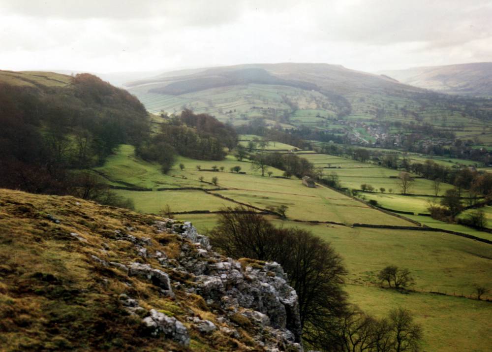
| Location | Morpeth Scar |
| Civil Parish | Burton cum Walden |
| Brit. National Grid | Hidden |
| Altitude | 248m |
| Geology | Spring rise and stream below the Middle Limestone. |
| Record Name | West Burton, four burnt mounds in pasture below Morpeth Scar. |
| Record Description | BURTON CUM WALDEN C.P.
In pasture on line of diverted stream below Morpeth Scar Small, low. Four sites on same diverted spring
#SE 027 874 Centre |
| Dimensions | |
| Geographical area | |
| Species | |
| Scientific Name | |
| Common / Notable Species | |
| Tree and / or Stem Girth | |
| Tree: Position / Form / Status | |
| Tree Site ID | 0 |
| Associated Site SWAAG ID | 0 |
| Additional Notes | These four burnt mounds are on the line of a stream which rises below Morpeth Scar. The same stream first rises at 450m AOD at springs some 400m to the east of the large undated round house settlement on Burton Moor.
This stream disappears into the limestone at Ashby Gill and reappears only to disappear into Morpeth Scar (Middle Limestone) and successive beds of limestone at different levels on its way down to Burton Beck. A total of no less than ten burnt mounds have been recognised on the line of this stream. All these burnt mounds are recorded in groups at the various different levels of the stream.
Dimensions of burnt mounds.
Size: Small <6m, Medium 6m-9m, Large 10m-15m, Extra large >15m.
Height: Low <0.5m, Average 0.5-1.0m, High >1.0m.
|
| Image 1 ID | 1712 Click image to enlarge |
| Image 1 Description | Morpeth Scar.The four burnt mounds recorded here are on the diverted stream crossing the terrace below, mid distance |  |