|
| *****SWAAG_ID***** | 55 |
| Date Entered | 11/01/2011 |
| Updated on | 14/12/2011 |
| Recorded by | Tim Laurie |
| Category | Burnt Mound |
| Record Type | Archaeology |
| SWAAG Site Name | |
| Site Type | |
| Site Name | |
| Site Description | |
| Site Access | Public Access Land |
| Location | Wraykeld Well Spring 2 sites |
| Civil Parish | Melmerby |
| Brit. National Grid | SE 0679 8685 |
| Altitude | 355m |
| Geology | Spring rise. Drift. |
| Record Name | Melmerby CP.Wraykeld Well Spring. Two Burnt Mounds |
| Record Description | Two burnt mounds at the same spring rise.
Site 1 = The upper and larger site has been disturbed by watersupply work. Large, low.
Site 2 = The lower, medium site is turf covered. Medium, low.
|
| Dimensions | |
| Geographical area | |
| Species | |
| Scientific Name | |
| Common / Notable Species | |
| Tree and / or Stem Girth | |
| Tree: Position / Form / Status | |
| Tree Site ID | 0 |
| Associated Site SWAAG ID | 0 |
| Additional Notes | Dimensions.
Size: Small <6m, Medium 6m-9m, Large 10m-15m, Extra large >15m.
Height: Low <0.5m, Average 0.5-1.0m, High >1.0m. |
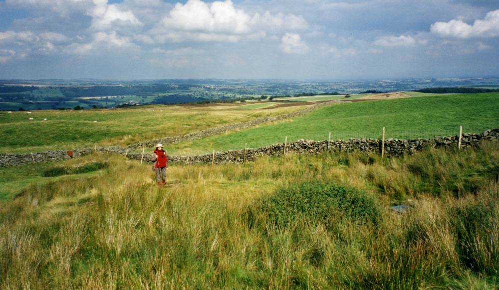
| Image 1 ID | 1696 Click image to enlarge |
| Image 1 Description | Wraykeld Spring. Two burnt mounds here. Below the water tank. |  |
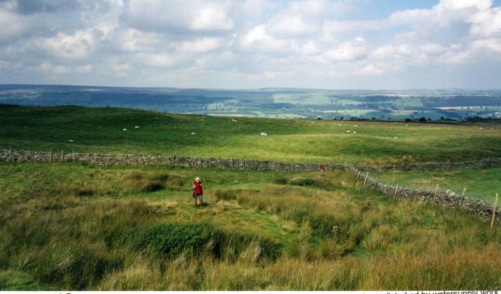
| Image 2 ID | 1697 Click image to enlarge |
| Image 2 Description | |  |