|
| *****SWAAG_ID***** | 217 |
| Date Entered | 29/05/2011 |
| Updated on | 19/12/2013 |
| Recorded by | Alan and Judith Mills |
| Category | Mining Related |
| Record Type | Mining |
| SWAAG Site Name | |
| Site Type | |
| Site Name | |
| Site Description | |
| Site Access | Public Access Land |
| Record Date | 28/05/2011 |
| Location | Whaw Edge |
| Civil Parish | Arkengarthdale |
| Brit. National Grid | NY 98823 02746 |
| Altitude | 1650ft approx |
| Geology | Crow Chert |
| Record Name | Hungry Hushes Chert Quarries |
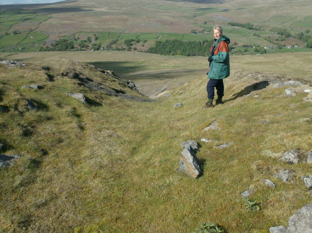
| Record Description | The Hungry Hushes Chert Quarries were in operation from around 1932 until 1950. The main workings were in three underground levels. The chert was extracted as blocks, in the form of 'pavers' and 'runners' and used in the potteries to crush flint to make porcelain. For a full description of the process see Jackson. The blocks were taken down a steep embankment, presumably on bogies on rails, to a loading and final dressing area (NY 98844 02830). A double-acting incline, using the weight of descending bogies to haul the empty ones up, led downhill to a loading platform on the Arkengarthdale road, near CB Yard.
Evidence on the ground suggests that there was an earlier loading area ( at NY 98806 02855) with an earlier tramway (visible at NY 98809 02849) leading to it.
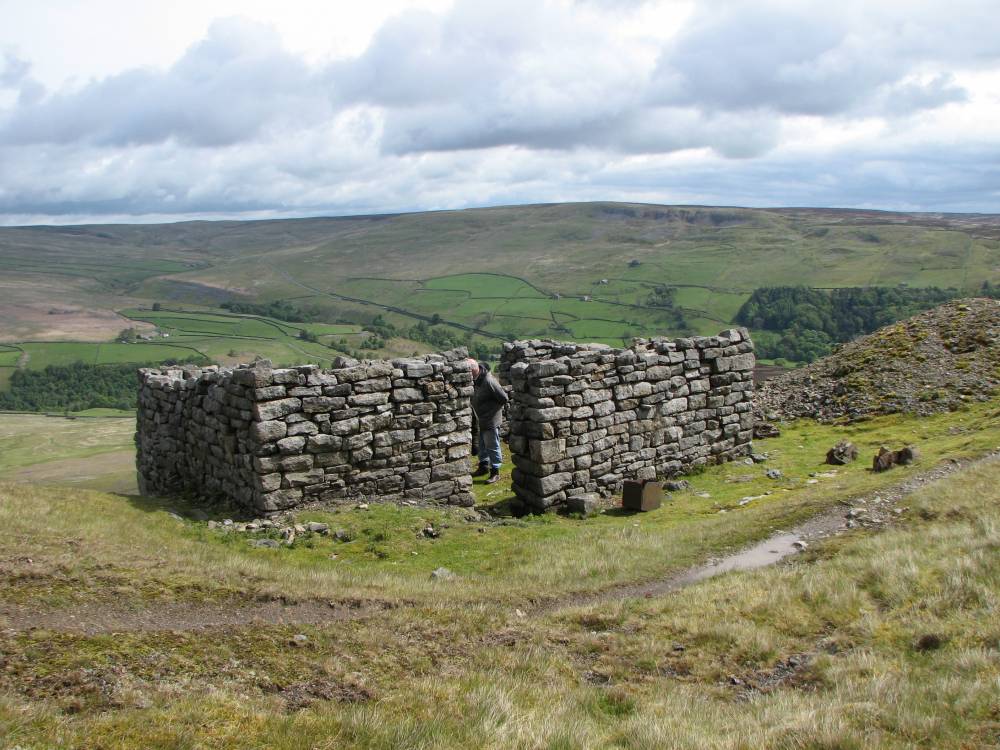
The men referred to themselves as quarrymen rather than miners. Their tools were sharpened and bogies repaired at the Smithy (NY 98763 02788) high above the loading area.
See British Mining No.53 "The Arkengarthdale Mines", L.O. Tyson, p88ff and British Mining No. 90 "50 Years of Mining History", p121ff, "Chert quarrying in Swaledale and Arkengarthdale", Kay Jackson. This latter paper is available to members only in abbreviated form on this website.
|
| Dimensions | |
| Geographical area | |
| Species | |
| Scientific Name | |
| Common / Notable Species | |
| Tree and / or Stem Girth | |
| Tree: Position / Form / Status | |
| Tree Site ID | 0 |
| Associated Site SWAAG ID | 0 |
| Additional Notes | By S. Eastmead: Most, probably all gravity acting tramways of this type have a double track. There is no evidence for this, although a short passing bay mid-way cannot be eliminated. They did provide a small engine in a shed perhaps slight more than 50% of the total distance from the quarry to the road. This would not have been necessary if it was a gravity tramway. It seems more likely that the braking drum at the top of the incline controlled the loaded wagons perhaps all the way to the road, or at least to the engine house. The engine could have been used to power the wagons along the relatively flat lower section and pulling the empty wagons back up the incline. The total length to the later workings is approximately 998m. Halfway would therefore be 499m from the top. The engine house is thought to be located approximately 563m from the top, and the earlier workings met the lower common section at approximately 176m from the top. It is at, or just below this junction that there is a short wider section of flat land that could theoretically have been used for a short length of double track to allow wagons to pass. See image 18. |
| Image 1 ID | 706 Click image to enlarge |
| Image 1 Description | Band of blue chert in middle of picture | 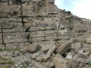 |
| Image 2 ID | 707 Click image to enlarge |
| Image 2 Description | Leading to a chert level entrance, now collapsed (NY 98823 02746) | 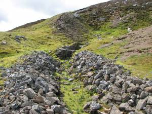 |
| Image 3 ID | 708 Click image to enlarge |
| Image 3 Description | Another chert level entrance nearby; also collapsed | 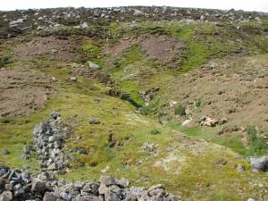 |
| Image 4 ID | 709 Click image to enlarge |
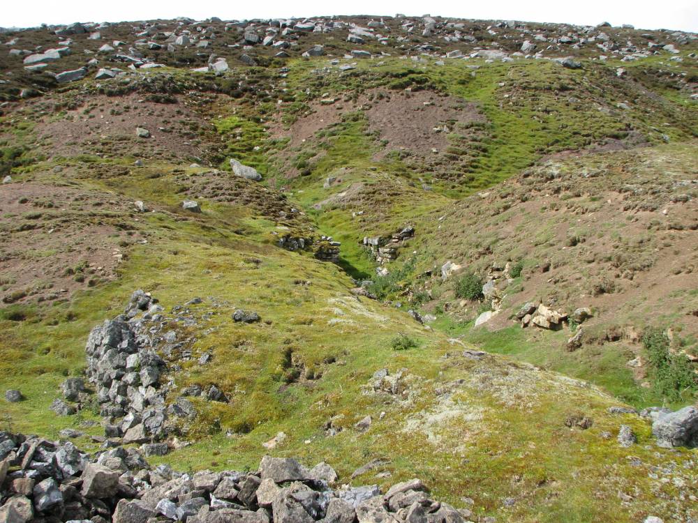
| Image 4 Description | Looking down the embankment to the loading area & incline / tramway | 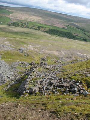 |
| Image 5 ID | 713 Click image to enlarge |
| Image 5 Description | Remains of the Smithy |  |
| Image 6 ID | 712 Click image to enlarge |
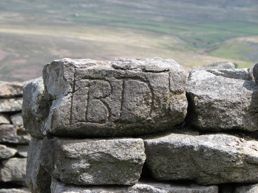
| Image 6 Description | Initials on outside of Smithy | 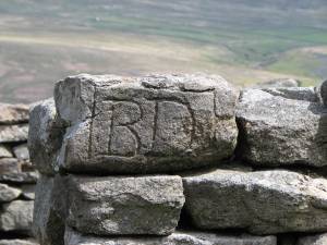 |
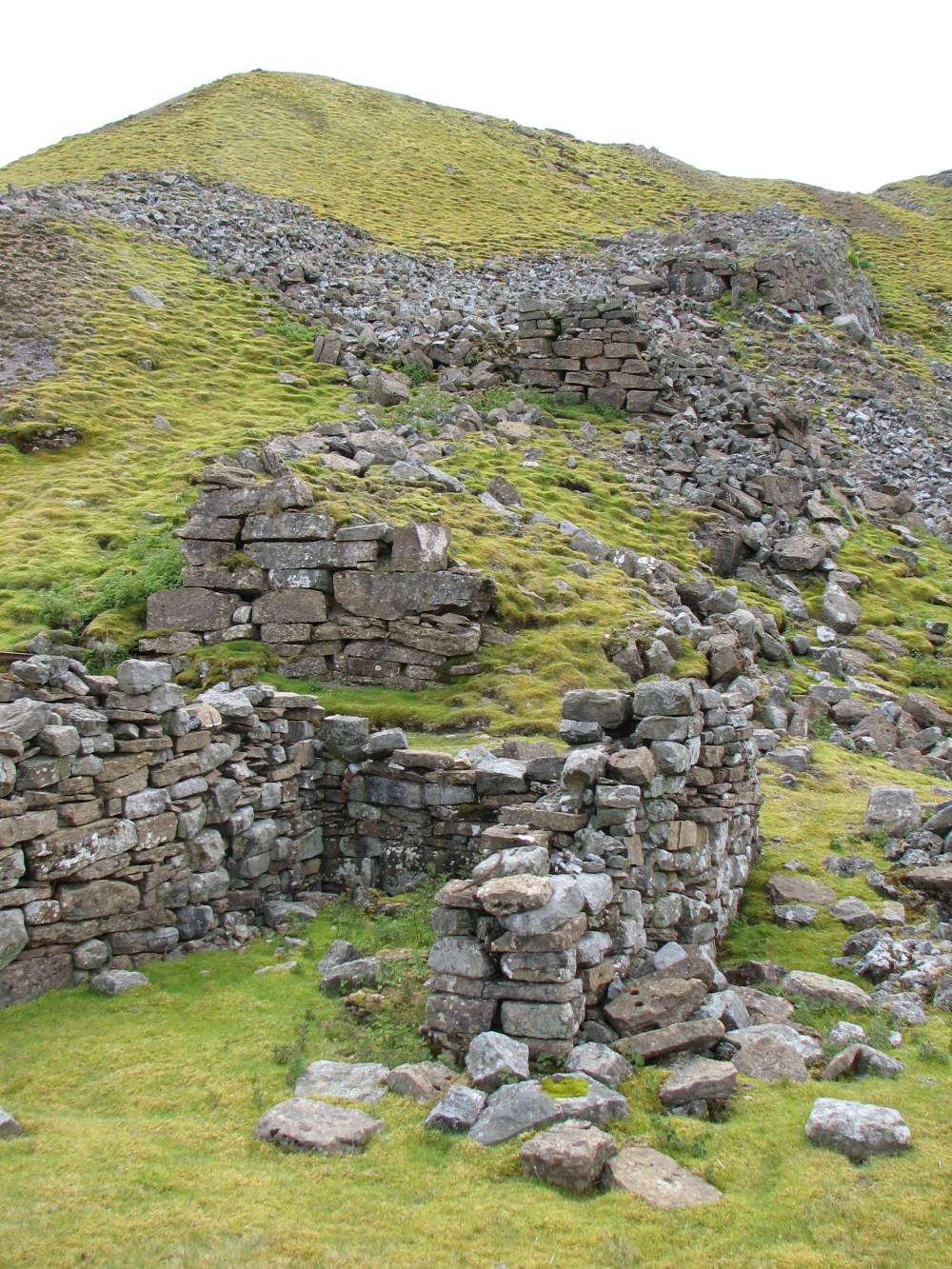
| Image 7 ID | 711 Click image to enlarge |
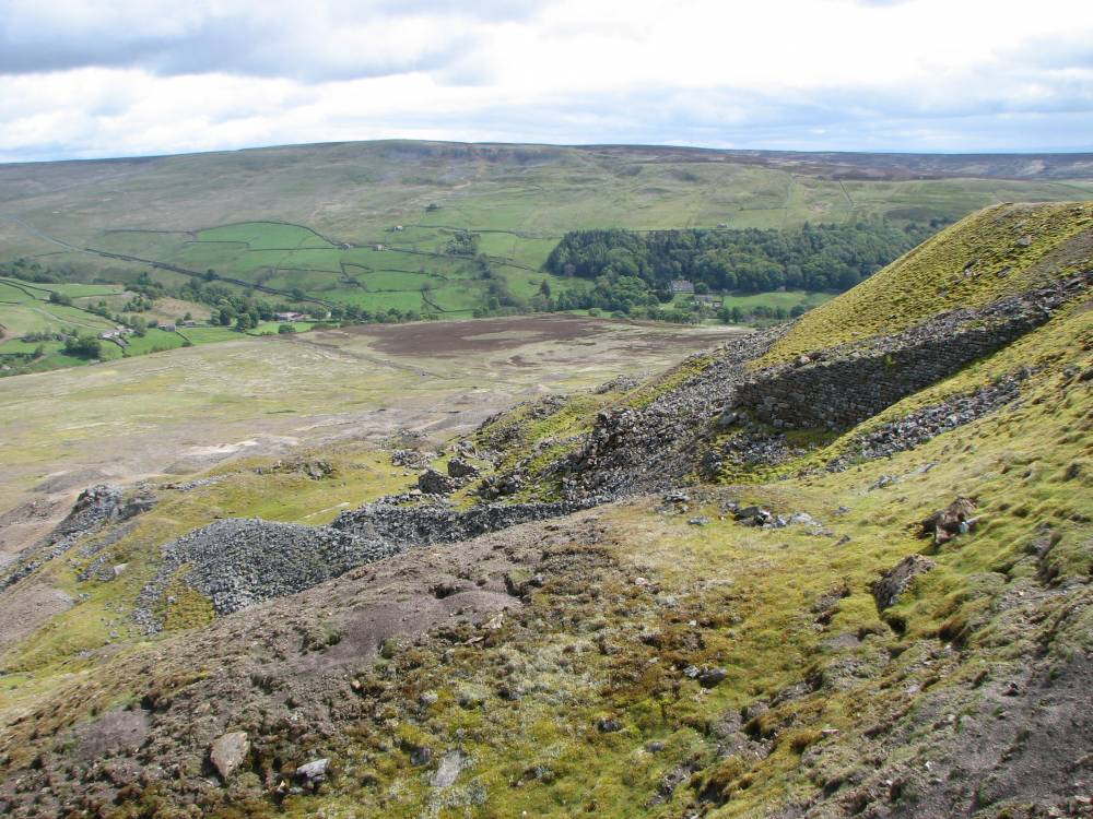
| Image 7 Description | Embankment from near Smithy |  |
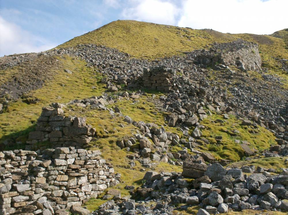
| Image 8 ID | 705 Click image to enlarge |
| Image 8 Description | Looking up the embankment |  |
| Image 9 ID | 715 Click image to enlarge |
| Image 9 Description | Remains of building at top of incline which housed the wooden drum & brake | 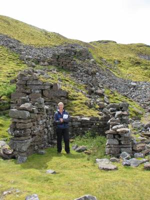 |
| Image 10 ID | 714 Click image to enlarge |
| Image 10 Description | Embankment with building from image 9 in foreground |  |
| Image 11 ID | 701 |
| Image 11 Description | Chert spoil near top of incline | 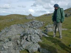 |
| Image 12 ID | 704 |
| Image 12 Description | Spoil near top of incline | 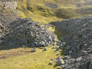 |
| Image 13 ID | 702 |
| Image 13 Description | Looking down the incline from the loading area | 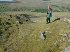 |
| Image 14 ID | 710 |
| Image 14 Description | Possibly the route of the original incline / tramway | 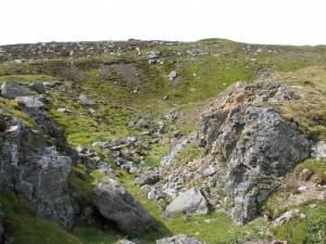 |
| Image 15 ID | 739 |
| Image 15 Description | A very small section of intact flue found at NY 99097 02863 | 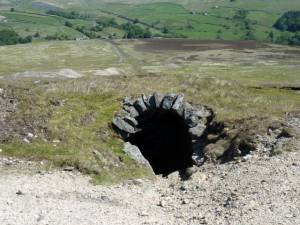 |
| Image 16 ID | 740 |
| Image 16 Description | A very small section of intact flue found at NY 99097 02863 | 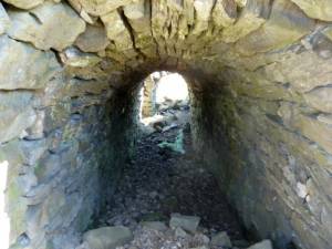 |
| Image 17 ID | 741 |
| Image 17 Description | A very small section of intact flue found at NY 99097 02863 | 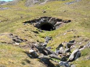 |
| Image 18 ID | 4442 |
| Image 18 Description | Google Earth Chert Tramway - see Additional Notes | 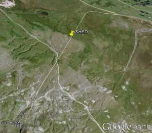 |
| Image 19 ID | 4897 |
| Image 19 Description | Lidar Image of Mouldside showing smelt mill flues and the chert tramway. © Environment Agency copyright 2013. All rights reserved. | 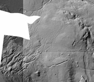 |