|
| *****SWAAG_ID***** | 194 |
| Date Entered | 17/05/2011 |
| Updated on | 17/05/2011 |
| Recorded by | Tim Laurie |
| Category | Vernacular Record |
| Record Type | General HER |
| SWAAG Site Name | |
| Site Type | |
| Site Name | |
| Site Description | |
| Site Access | Public Footpath |
| Record Date | 16/05/2011 |
| Location | |
| Civil Parish | Not known |
| Brit. National Grid | |
| Altitude | 220m |
| Geology | River terrace. |
| Record Name | Helwith Cottages. |
| Record Description | Remains of very substantial ruined cottages located on the edge of a river terrace between the confluence of Marske Beck (Shaw Beck) and Throstle Gill. |
| Dimensions | Not surveyed. |
| Geographical area | |
| Species | |
| Scientific Name | |
| Common / Notable Species | |
| Tree and / or Stem Girth | |
| Tree: Position / Form / Status | |
| Tree Site ID | 0 |
| Associated Site SWAAG ID | 0 |
| Additional Notes | These cottages occupy a very favourable location for settlement at the confluence of two streams.
Earthworks in the form of terrace like features and an iron bloomery site nearby point to earlier human settlement here. |
| Image 1 ID | 663 Click image to enlarge |
| Image 1 Description | Helwith Cottages photographed from Throstle Gill. | 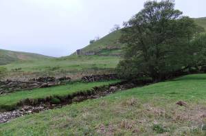 |
| Image 2 ID | 664 Click image to enlarge |
| Image 2 Description | Helwith Cottages, detail. | 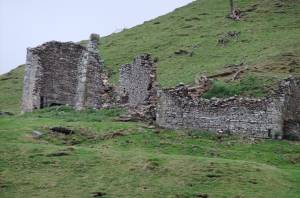 |
| Image 3 ID | 665 Click image to enlarge |
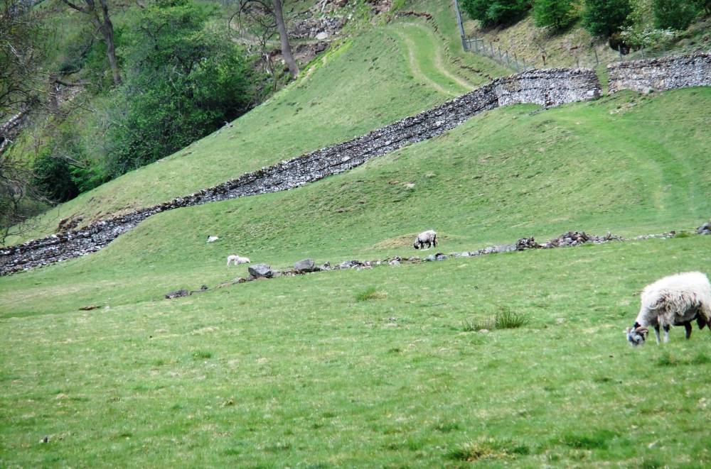
| Image 3 Description | Settlement platform below wall and small iron bloomery mound in pasture west of Helwith Cottages. | 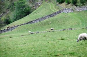 |