|
| *****SWAAG_ID***** | 223 |
| Date Entered | 11/06/2011 |
| Updated on | 11/06/2011 |
| Recorded by | Tim Laurie |
| Category | Settlement |
| Record Type | Archaeology |
| SWAAG Site Name | |
| Site Type | |
| Site Name | |
| Site Description | |
| Site Access | Public Access Land |
| Record Date | 01/01/2005 |
| Location | Clapgate |
| Civil Parish | Marske |
| Brit. National Grid | NZ 1165 0260 |
| Altitude | 265m |
| Geology | Talus below Richmond Cherts. |
| Record Name | Round house settlement and enclosures below Clapgate Scar. |
| Record Description | Group of large stone founded round houses with sunken floors together with associated stone banked stock enclosures on kame terrace below Clapgate Scar.
|
| Dimensions | Not surveyed. |
| Geographical area | |
| Species | |
| Scientific Name | |
| Common / Notable Species | |
| Tree and / or Stem Girth | |
| Tree: Position / Form / Status | |
| Tree Site ID | 0 |
| Associated Site SWAAG ID | 0 |
| Additional Notes | This settlement is characteristic of the many similar round house or hut circle settlements which can be seen on the high terraces below limestone scars throughout the Pennines.
This settlement is undated and could date from any date between the Bronze Age to the
native Roman Period. These settlements and stock enclosures were most likely the summer dwellings of small family transhumant pastoralists who may have visited and revisited their ancestral grazing lands each summer from June to September.
|
| Image 1 ID | 775 Click image to enlarge |
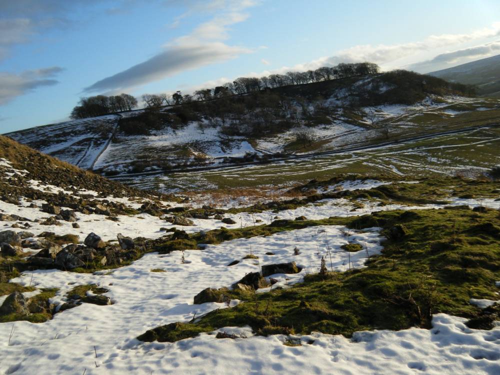
| Image 1 Description | Settlement below Clapgate Scar. Note and settlement and lynchetted field system opposite | 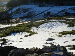 |
| Image 2 ID | 776 Click image to enlarge |
| Image 2 Description | Round house settlement below Clapgate Scar. | 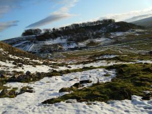 |
| Image 3 ID | 777 Click image to enlarge |
| Image 3 Description | Enclosures below Clapgate Scar | 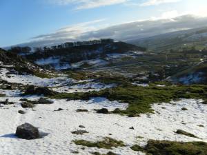 |
| Image 4 ID | 778 Click image to enlarge |
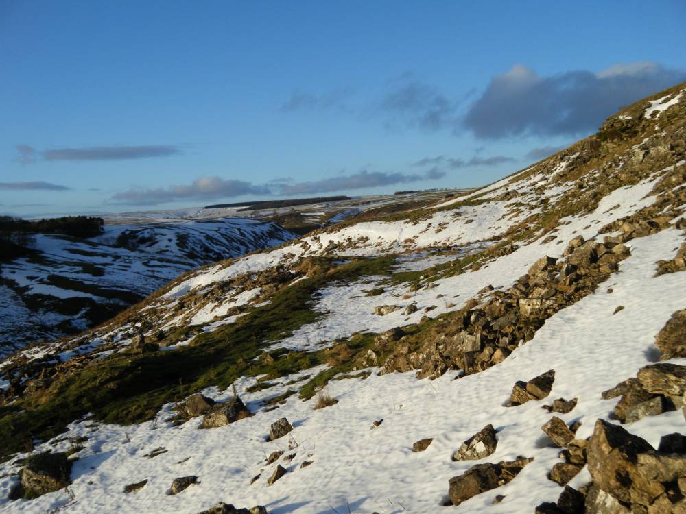
| Image 4 Description | The settlement, view through Clapgate towards Low Feldom. | 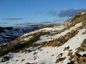 |