|
| *****SWAAG_ID***** | 6 |
| Date Entered | 09/01/2011 |
| Updated on | 02/02/2012 |
| Recorded by | Tim Laurie |
| Category | Burnt Mound |
| Record Type | Archaeology |
| SWAAG Site Name | |
| Site Type | |
| Site Name | |
| Site Description | |
| Site Access | Army Range |
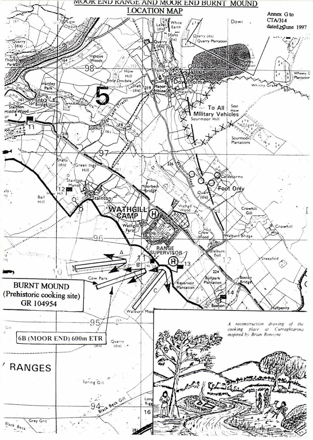
| Location | Wathgill, Cow Park. In immediate vicinity of Small Arms Range. |
| Civil Parish | Stainton |
| Brit. National Grid | SE 104 954 |
| Altitude | 260m |
| Geology | |
| Record Name | Stainton. Wathgill, Cow Park. Burnt mound in immediate vicinity of Small Arms Range. |
| Record Description | Wathgill, Cow Park, on Army Range, medium size burnt mound at spring rise.
NOTE!
DANGER Area!
This site is within a live army firing range and access is NOT permitted without express written permission from the Range Authorities. |
| Dimensions | Medium, average |
| Geographical area | |
| Species | |
| Scientific Name | |
| Common / Notable Species | |
| Tree and / or Stem Girth | |
| Tree: Position / Form / Status | |
| Tree Site ID | 0 |
| Associated Site SWAAG ID | 0 |
| Additional Notes | Dimensions.
Size: Small <6m, Medium 6m-9m, Large 10m-15m, Extra large >15m.
Height: Low <0.5m, Average 0.5-1.0m, High >1.0m. |
| Image 1 ID | 1708 Click image to enlarge |
| Image 1 Description | Wathgill. New Small Arms Ranges with Burnt Mound Location. | 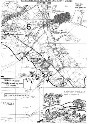 |
| Image 2 ID | 1709 Click image to enlarge |
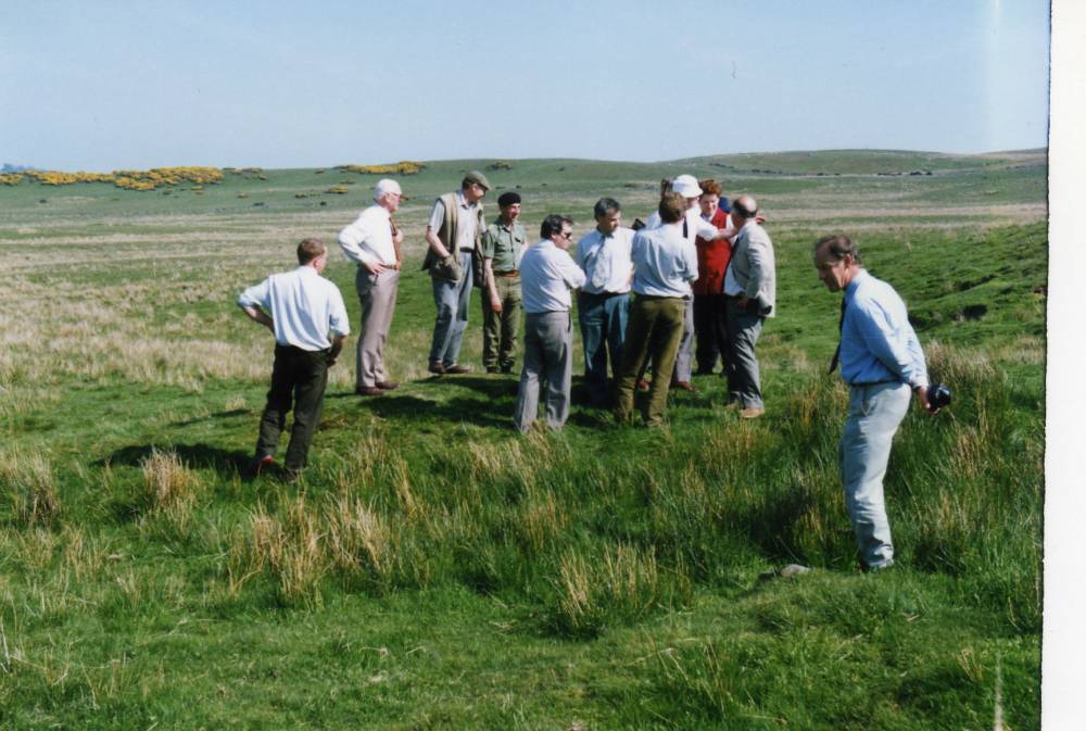
| Image 2 Description | Army Conservation Group visit to the burnt mound. |  |
| Image 3 ID | 1710 Click image to enlarge |
| Image 3 Description | The site before construction of the new range. This may be the only image existing of this site in its landscape setting. | 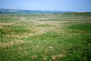 |