|
| *****SWAAG_ID***** | 1 |
| Date Entered | 07/01/2011 |
| Updated on | 14/07/2019 |
| Recorded by | Stephen Eastmead (admin) |
| Category | SWAAG Site |
| Record Type | Archaeology |
| SWAAG Site Name | |
| Site Type | |
| Site Name | |
| Site Description | |
| Site Access | Public Access Land |
| Record Date | 03/01/2011 |
| Location | Approximately 300 metres east of Grinton Bridge beside the River Swale. |
| Civil Parish | Grinton |
| Brit. National Grid | SE 05000 98500 |
| Altitude | 180M |
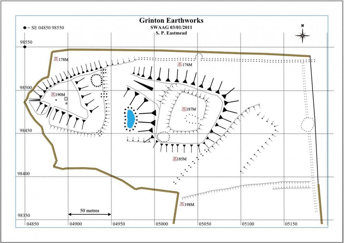
| Geology | Sited on the River Swale Flood plain where two glacial terminal moraine mounds have been utilised by ?Iron Age man as a defended settlement, however a pre WW2 excavation suggested there were medieval, but didn't exclude a prehistoric past. |
| Record Name | Grinton Earthworks |
| Record Description | Two glacial mounds approximately 300 metres to the east of Grinton Bridge beside the River Swale on the southern bank. They can be viewed in Google Earth using this Grinton Mounds link (You need to have installed Google Earth then click this link and allow Google Earth to open it.)
They have been variously described as: Iron Age Hill Fort or a Roman Siege Fort but there appears to be no hard information published on the Internet to support either suggestion. The best suggestion appears to be they may be an Iron Age / Romano-British defended settlement, however a pre WW2 excavation suggested they were medieval, but didn't exclude a prehistoric past. There is evidence of medieval settlement and rig and furrow ploughing nearby. |
| Dimensions | Western mound approximately 100x80 metres. Eastern mound approximately 150x70 metres. |
| Geographical area | |
| Species | |
| Scientific Name | |
| Common / Notable Species | |
| Tree and / or Stem Girth | |
| Tree: Position / Form / Status | |
| Tree Site ID | 0 |
| Associated Site SWAAG ID | 0 |
| Additional Notes | See SWAAG reports on geophysics surveys made of this area. |
| Image 1 ID | 1 Click image to enlarge |
| Image 1 Description | Grinton Mounds map |  |
| Image 2 ID | 2 Click image to enlarge |
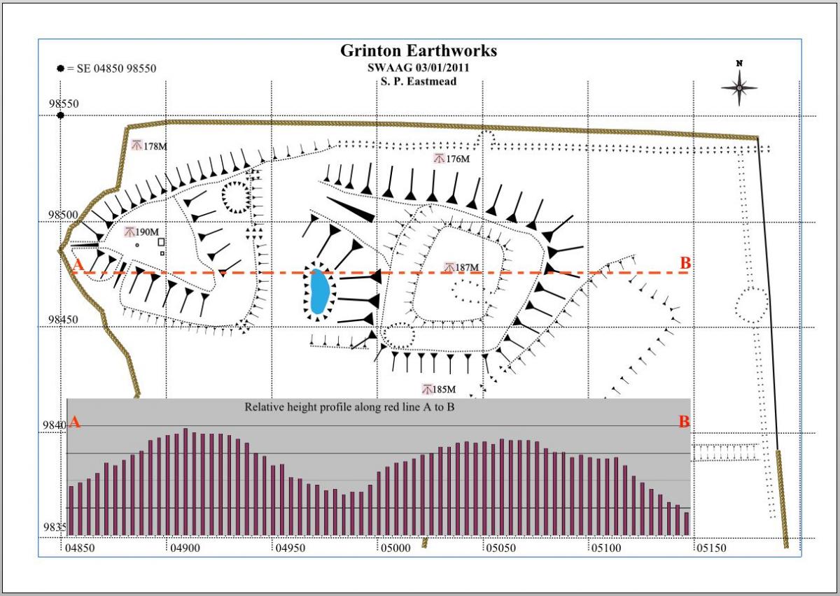
| Image 2 Description | Grinton Mounds map with E - W relative heights | 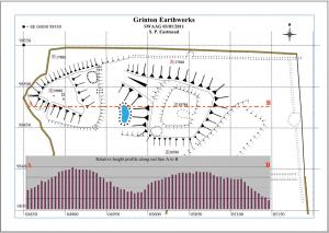 |
| Image 3 ID | 3 Click image to enlarge |
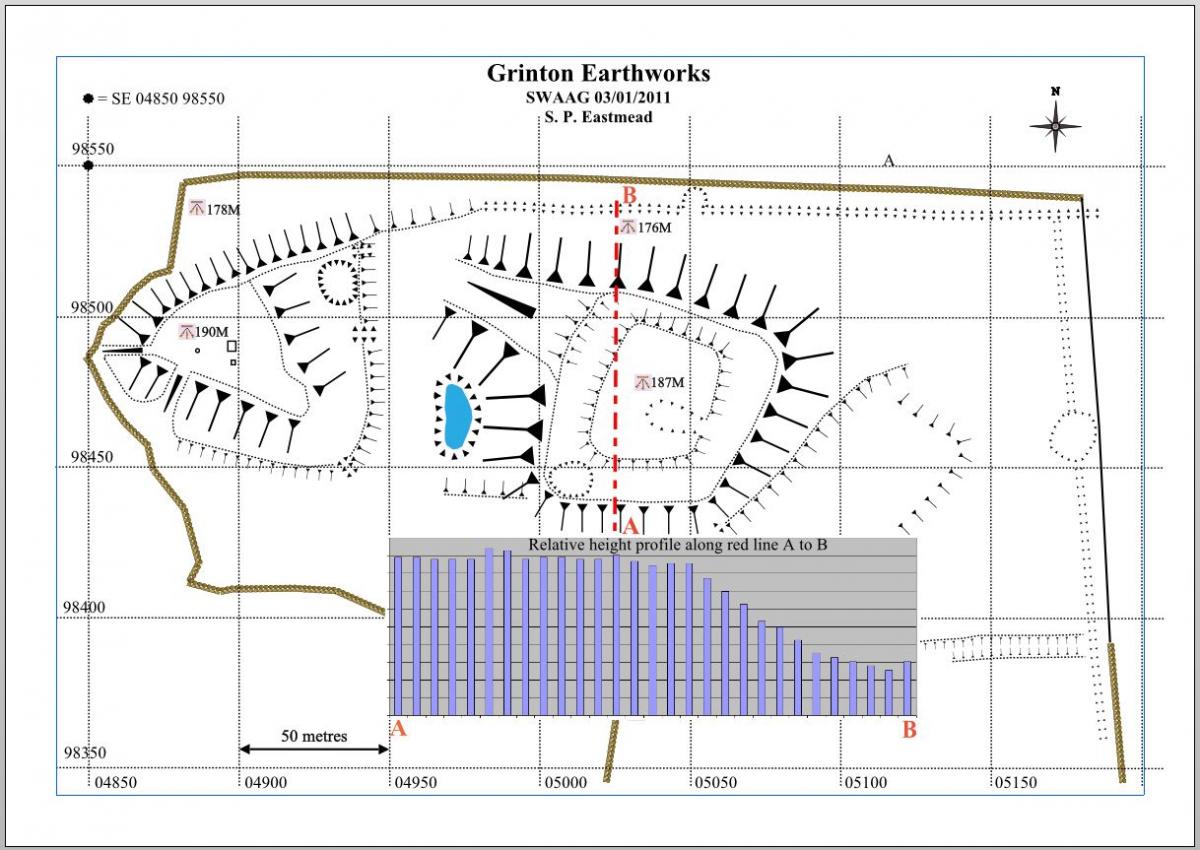
| Image 3 Description | Grinton Mounds map with S - N relative heights | 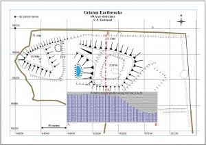 |
| Image 4 ID | 4 Click image to enlarge |
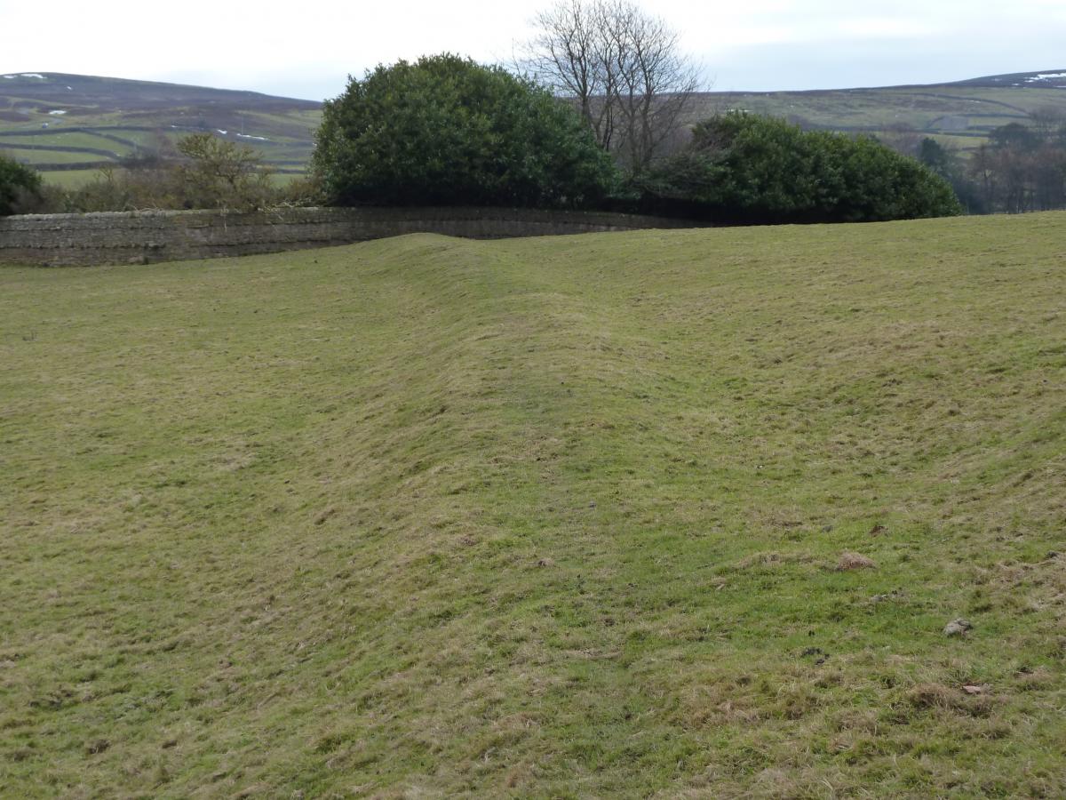
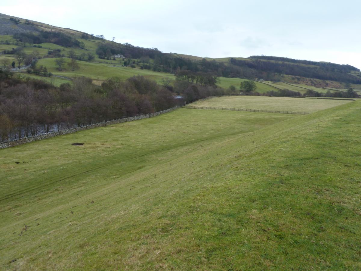
| Image 4 Description | Bank extending from modern cemetery to the eastern side of the eastern mound | 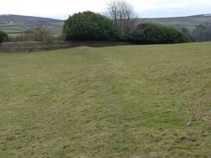 |
| Image 5 ID | 5 Click image to enlarge |
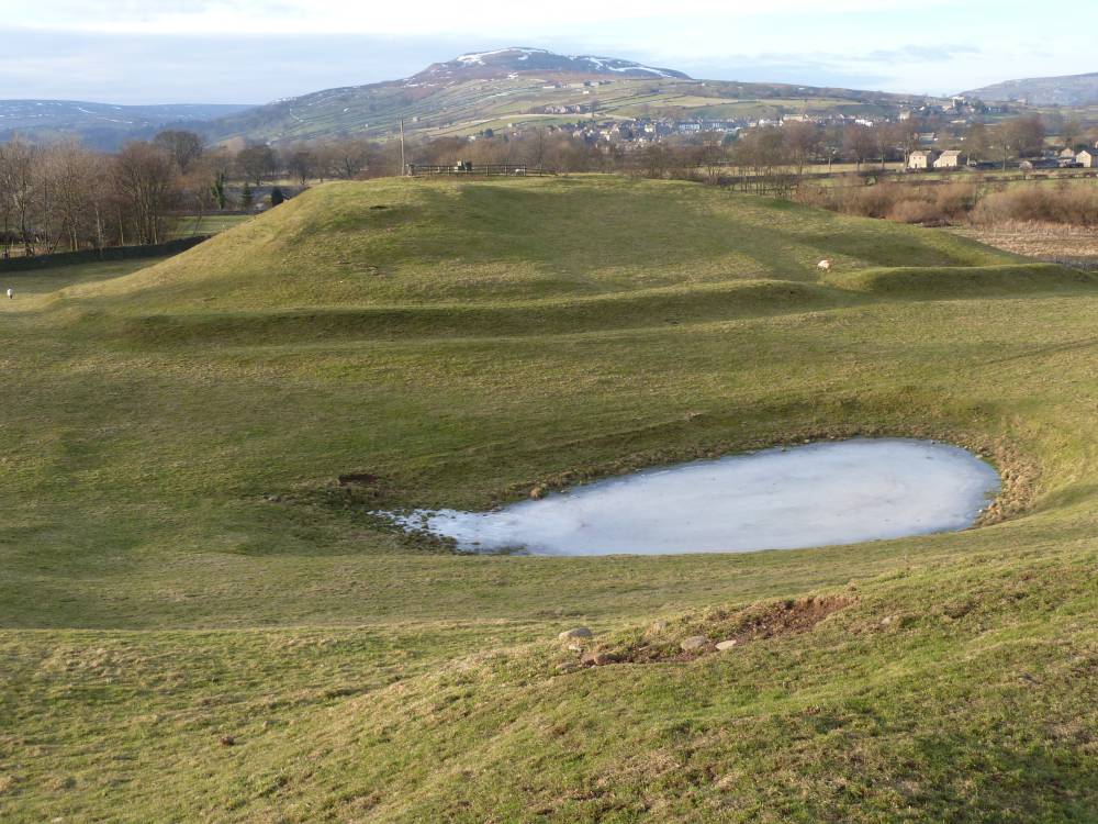
| Image 5 Description | Western Mound from the top of the eastern mound | 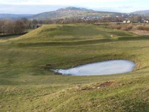 |
| Image 6 ID | 6 Click image to enlarge |
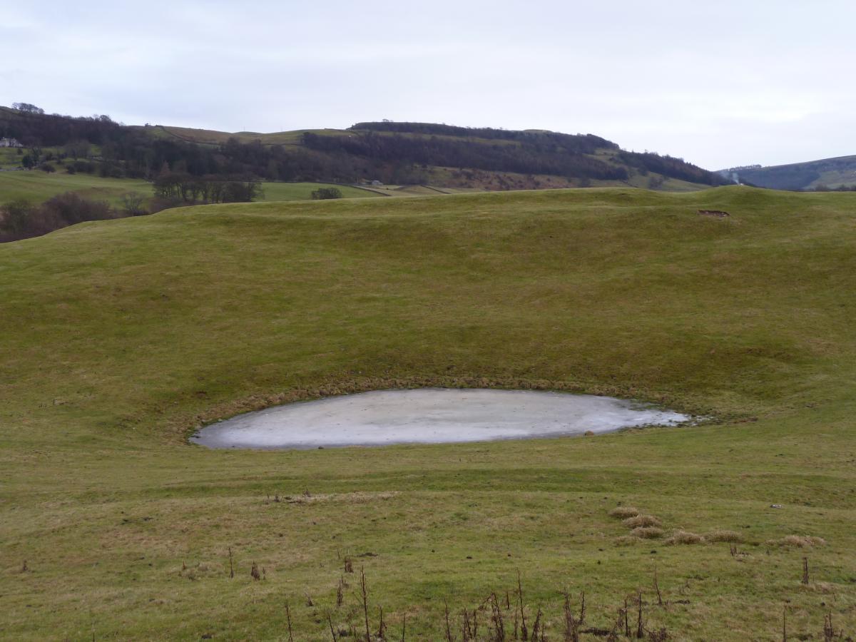
| Image 6 Description | Eastern mound from the top of the western mound |  |
| Image 7 ID | 7 Click image to enlarge |
| Image 7 Description | Western Mound from the top of the eastern mound | 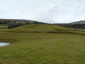 |
| Image 8 ID | 8 Click image to enlarge |
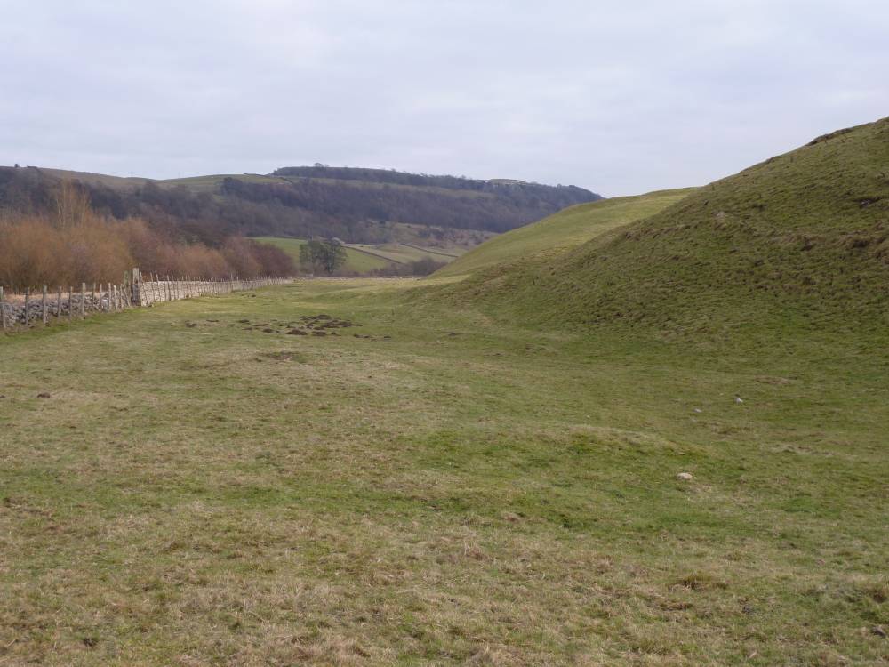
| Image 8 Description | Looking toward the NE corner of the field from the eastern mound, showing shallow bank. | 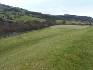 |
| Image 9 ID | 9 Click image to enlarge |
| Image 9 Description | Looking parallel with the River Swale showing mound heights Western mound in the foreground. | 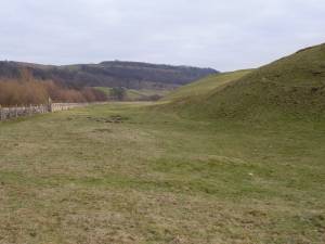 |
| Image 10 ID | 10 Click image to enlarge |
| Image 10 Description | Google Earth image from 2002 | 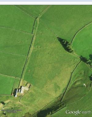 |