|
| *****SWAAG_ID***** | 494 |
| Date Entered | 11/04/2012 |
| Updated on | 11/04/2012 |
| Recorded by | Tim Laurie |
| Category | Tree Site Record |
| Record Type | Botanical HER |
| SWAAG Site Name | |
| Site Type | |
| Site Name | |
| Site Description | |
| Site Access | Public Access Land |
| Record Date | 12/03/2012 |
| Location | Gunnerside Gill. Eweleap Scar. |
| Civil Parish | Melbecks |
| Brit. National Grid | NY 93915 02483 |
| Altitude | 477m |
| Geology | Stream cut ravine and waterfall. The Main Limestone. |
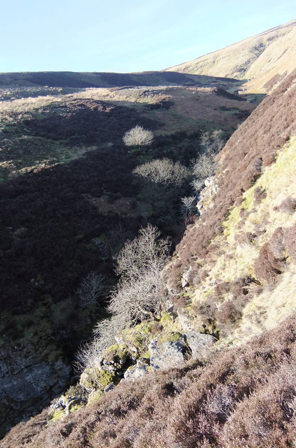
| Record Name | Gunnerside Gill. Native woodland with juniper on Eweleap Scar. |
| Record Description | Native woodland with at least one isolated juniper (see photograph) on sheer limestone cliffs on both sides of narrow ravine below a fine waterfall. Other trees present include downy birch, hazel? check,rowan, sallows and shrub willow species (Salix phyllicifolia).
|
| Dimensions | See photographs |
| Geographical area | Swaledale North Bank Catchment |
| Species | Juniper |
| Scientific Name | |
| Common / Notable Species | |
| Tree and / or Stem Girth | |
| Tree: Position / Form / Status | |
| Tree Site ID | 0 |
| Associated Site SWAAG ID | 0 |
| Additional Notes | Note that yews are absent from Gunnerside Gill. |
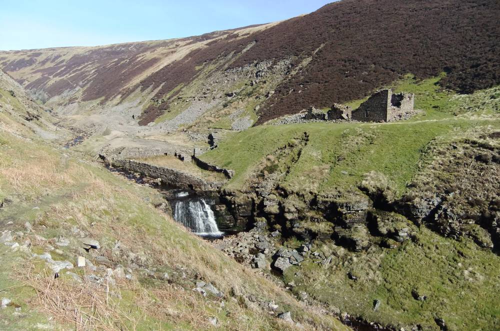
| Image 1 ID | 2606 Click image to enlarge |
| Image 1 Description | Gunnerside Gill. Approach to Eweleap Scar. |  |
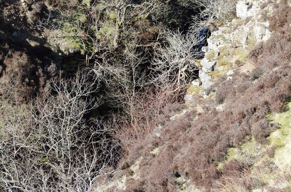
| Image 2 ID | 2607 Click image to enlarge |
| Image 2 Description | The lower ravine. | 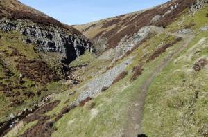 |
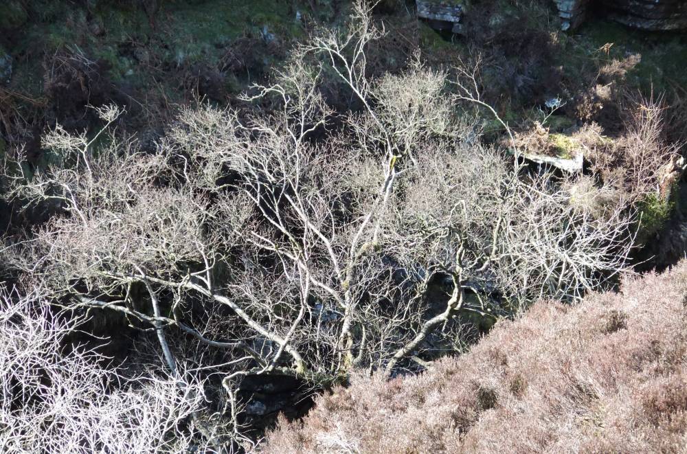
| Image 3 ID | 2608 Click image to enlarge |
| Image 3 Description | | 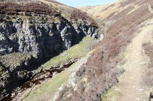 |
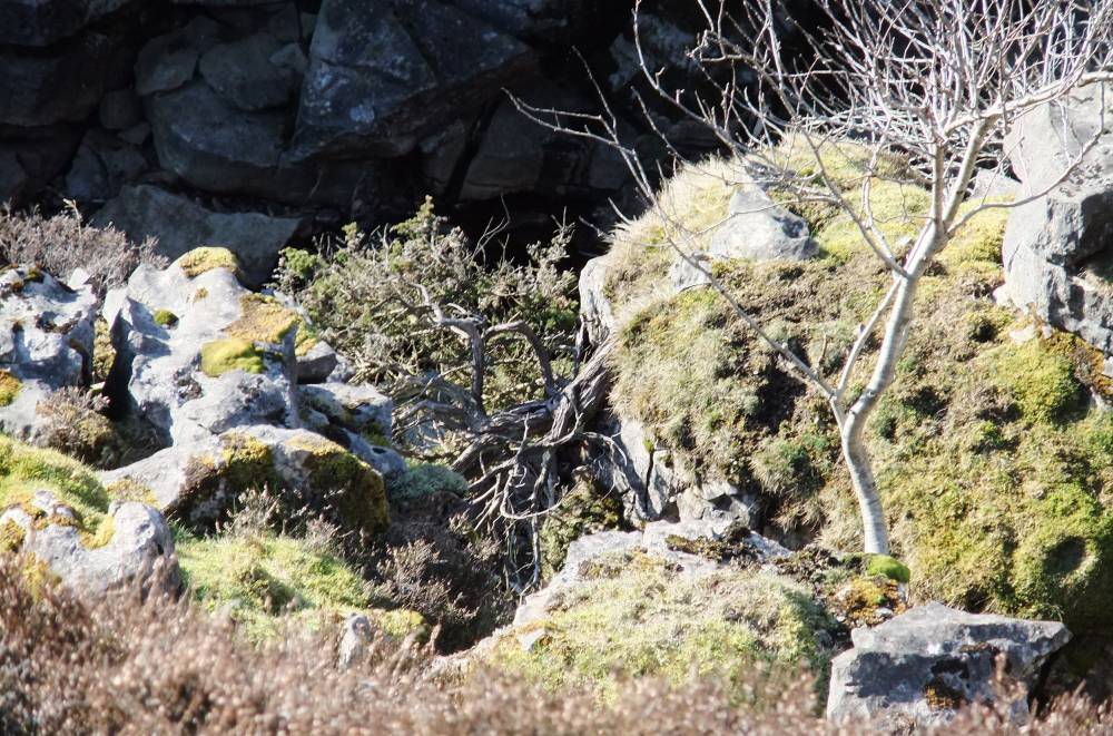
| Image 4 ID | 2609 Click image to enlarge |
| Image 4 Description | | 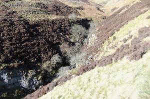 |
| Image 5 ID | 2610 Click image to enlarge |
| Image 5 Description | | 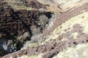 |
| Image 6 ID | 2611 Click image to enlarge |
| Image 6 Description | |  |
| Image 7 ID | 2612 Click image to enlarge |
| Image 7 Description | | 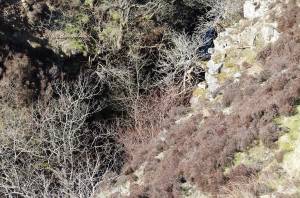 |
| Image 8 ID | 2613 Click image to enlarge |
| Image 8 Description | Birch at top of the ravine. |  |
| Image 9 ID | 2614 Click image to enlarge |
| Image 9 Description | Rowan. | 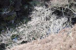 |
| Image 10 ID | 2615 Click image to enlarge |
| Image 10 Description | The upper ravine with juniper below footpath. | 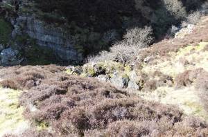 |
| Image 11 ID | 2616 |
| Image 11 Description | Ancient juniper at top edge of the ravine. Below path on east bank. | 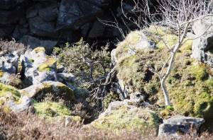 |
| Image 12 ID | 2617 |
| Image 12 Description | The Upper Ravine. | 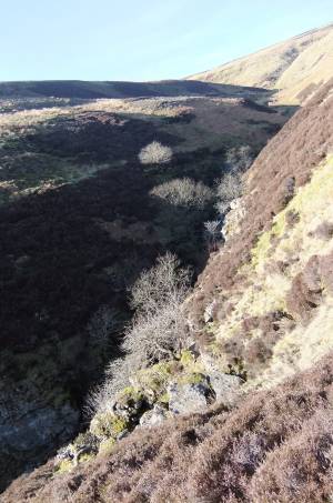 |
| Image 13 ID | 2618 |
| Image 13 Description | | 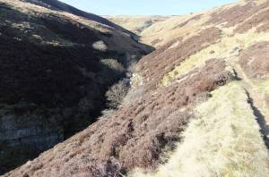 |