|
| *****SWAAG_ID***** | 501 |
| Date Entered | 18/04/2012 |
| Updated on | 18/04/2012 |
| Recorded by | Tim Laurie |
| Category | Mining Related |
| Record Type | Industrial Archaeology |
| SWAAG Site Name | |
| Site Type | |
| Site Name | |
| Site Description | |
| Site Access | Public Footpath |
| Record Date | 15/04/2012 |
| Location | Keld Heads Lead Mine and Smelt Mill Complex |
| Civil Parish | Preston Under Scar |
| Brit. National Grid | SE 079 908 |
| Altitude | 190m |
| Geology | Middle Limestone. |
| Record Name | Keld heads Lead Mine and Smelt Mill Complex |
| Record Description | 'Keld Heads Mine is the oldest mine in Wensleydale of which there is any definite record, and was the richest in the county.' (Robert T. Clough 1961, p96).
A full description of the remains of this mine and smelt mill, one of the most extensive industrial lead mine and smelting complexes in the Yorkshire Dales, is available in R.T. Clough: 'The Lead Smelting Mills of theYorkshire Dales and North Pennines.' p96-101.
A brief visual overview of photographs of the remains taken during a reccent visit by SWAAG Members is included here.
NOTE!
Further detailed accounts and photographs provided by SWAAG Member David Brooks of the different elements: the Mine Levels and ?earlier Shaft Mounds, Peat Store, The Smelt Mill, the Pump and Boiler House,the Flues and Condenser House, the Dam, Culverts and Leats within the complex are to each be recorded as seperate specific SWAAG Records. |
| Dimensions | See photographs |
| Geographical area | |
| Species | |
| Scientific Name | |
| Common / Notable Species | |
| Tree and / or Stem Girth | |
| Tree: Position / Form / Status | |
| Tree Site ID | 0 |
| Associated Site SWAAG ID | 0 |
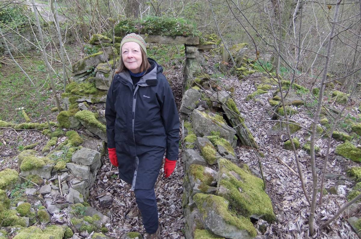
| Additional Notes | The remains are very extensive and include many features within Condenser Wood which repay a detailed search. |
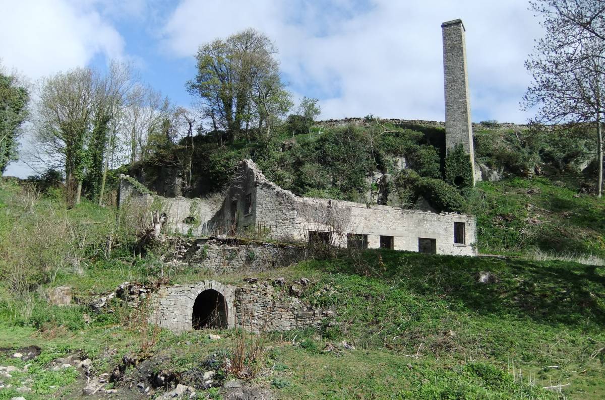
| Image 1 ID | 2669 Click image to enlarge |
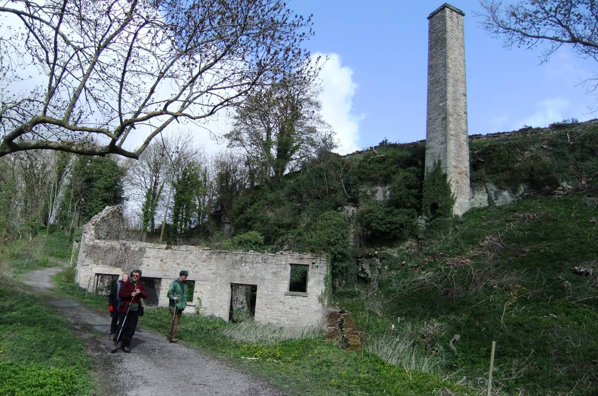
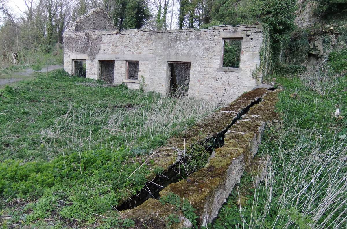
| Image 1 Description | Mine level entrance, boiler room, pump houe and chimney. | 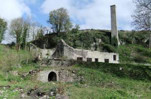 |
| Image 2 ID | 2661 Click image to enlarge |
| Image 2 Description | Peat house | 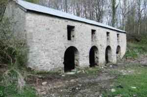 |
| Image 3 ID | 2662 Click image to enlarge |
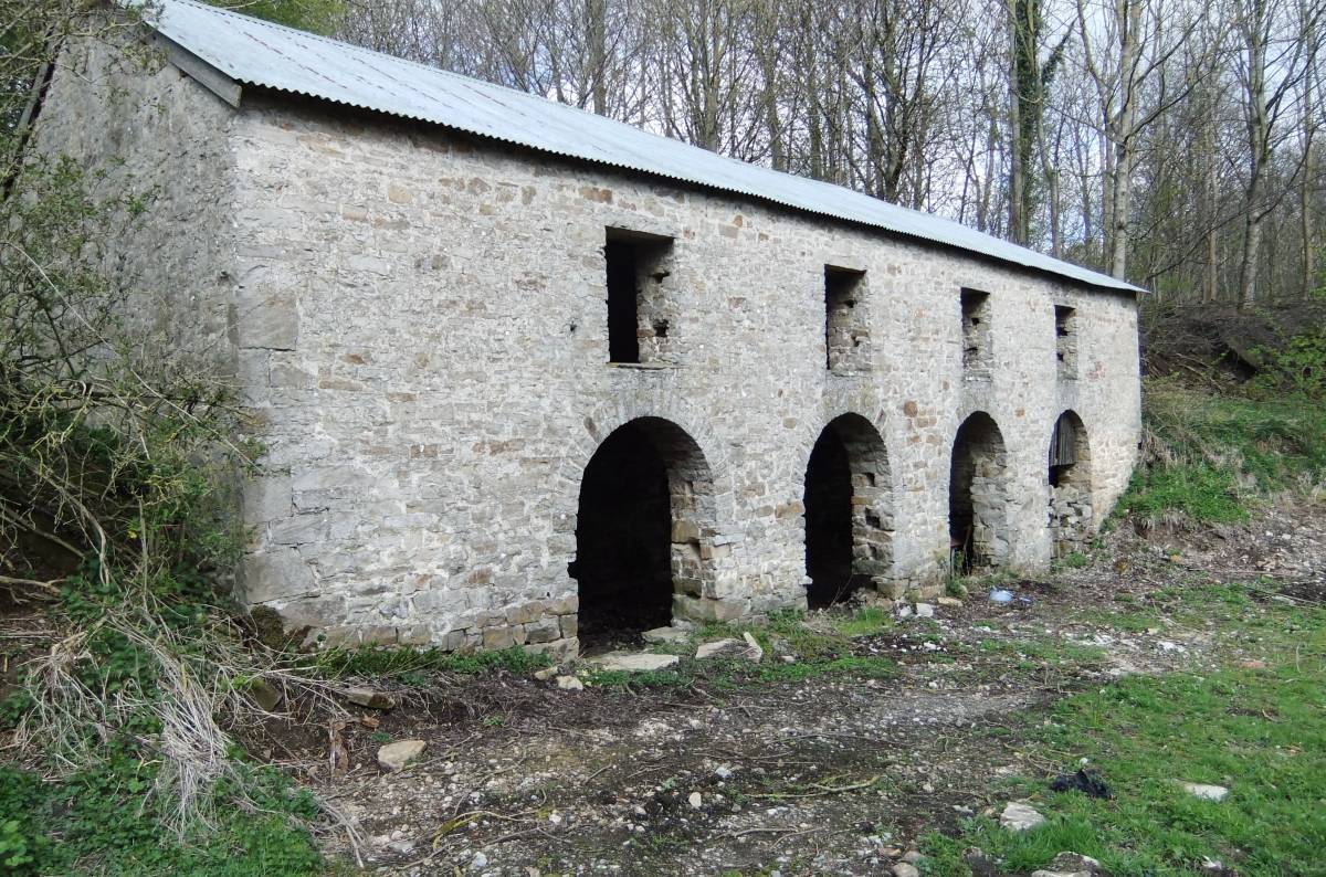
| Image 3 Description | The pump house | 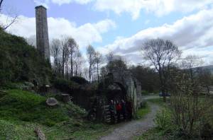 |
| Image 4 ID | 2663 Click image to enlarge |
| Image 4 Description | The pump house interior with massive stone foundation for the pumps. | 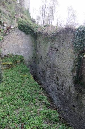 |
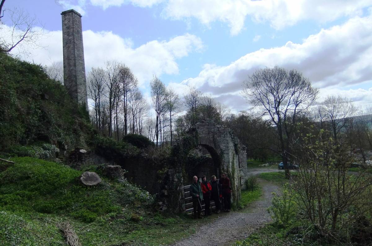
| Image 5 ID | 2665 Click image to enlarge |
| Image 5 Description | Boilerhouse and chimney |  |
| Image 6 ID | 2666 Click image to enlarge |
| Image 6 Description | Boiler room | 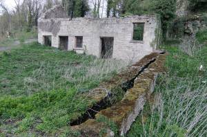 |
| Image 7 ID | 2667 Click image to enlarge |
| Image 7 Description | Entrance to the mine level. | 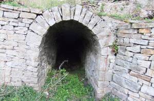 |
| Image 8 ID | 2670 Click image to enlarge |
| Image 8 Description | Wheel pit providing water power predating the installation of the boilers and pumps. | 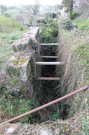 |
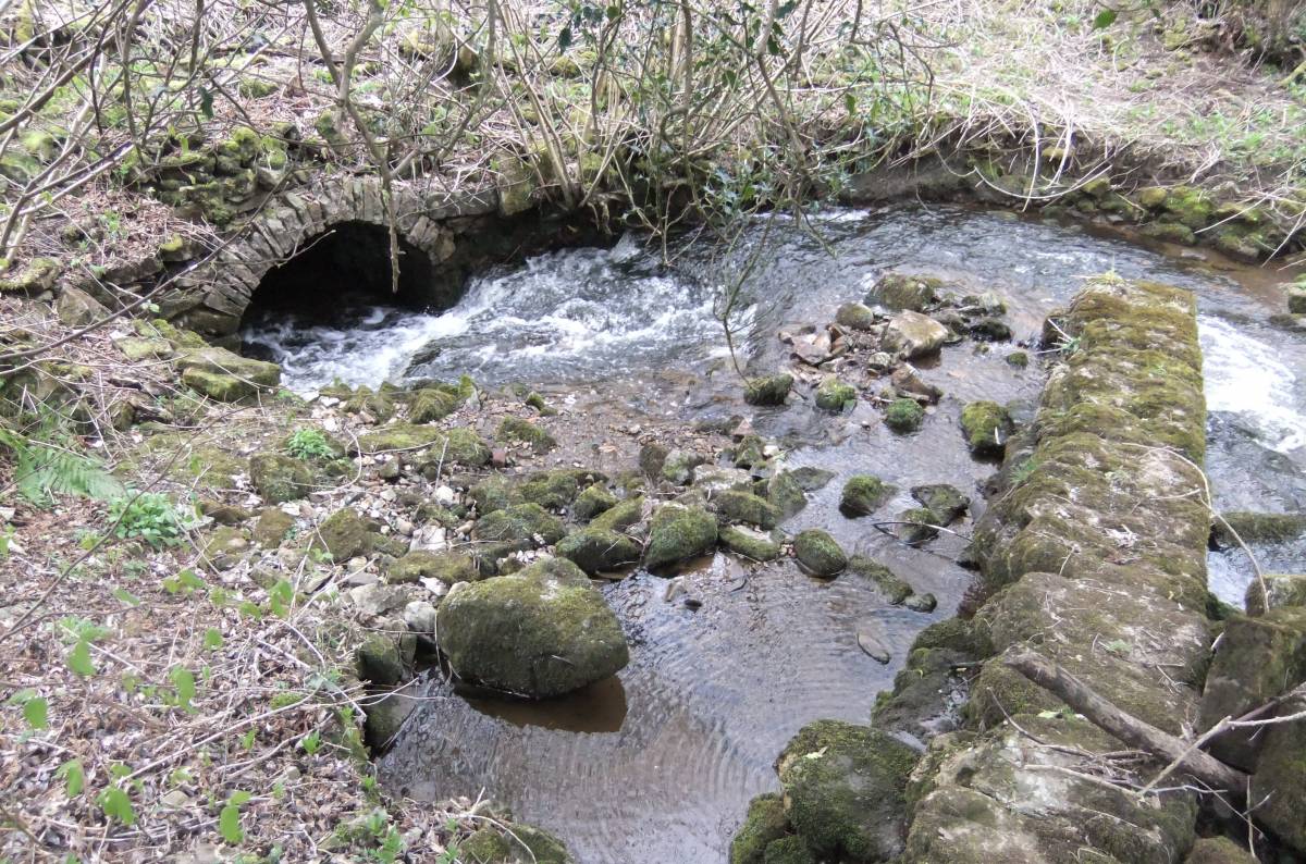
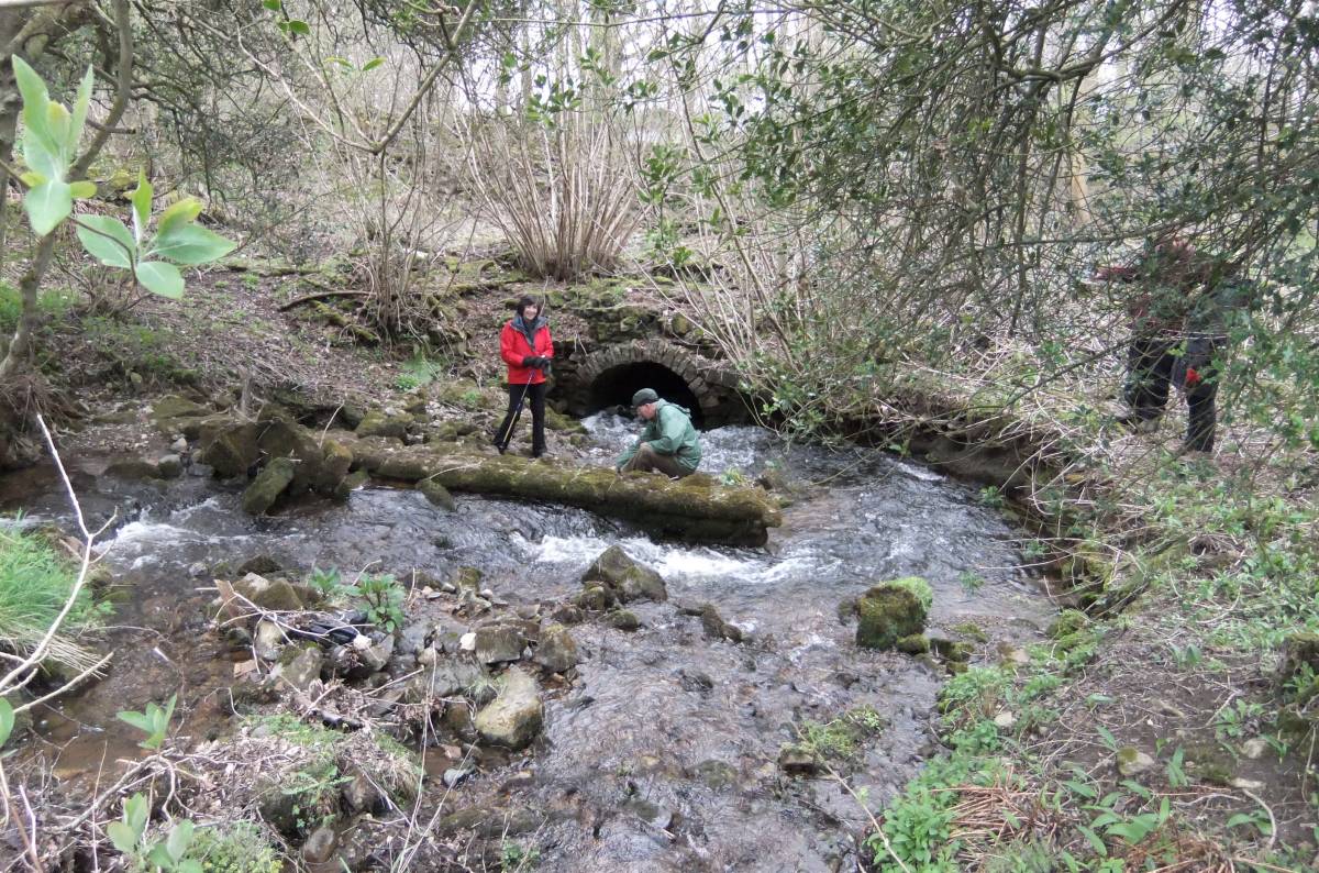
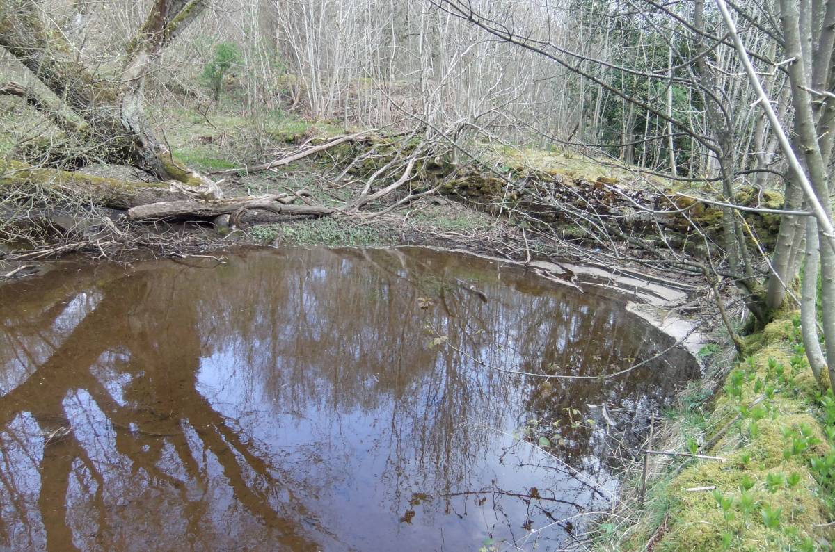
| Image 9 ID | 2671 Click image to enlarge |
| Image 9 Description | Culvert and stream divertion wall | 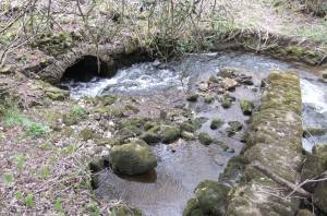 |
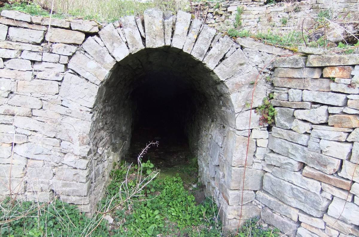
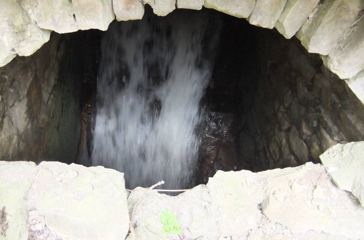
| Image 10 ID | 2672 Click image to enlarge |
| Image 10 Description | Culvert | 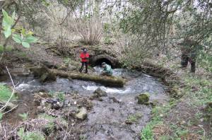 |
| Image 11 ID | 2673 |
| Image 11 Description | Culvert | 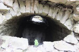 |
| Image 12 ID | 2674 |
| Image 12 Description | Culvert |  |
| Image 13 ID | 2675 |
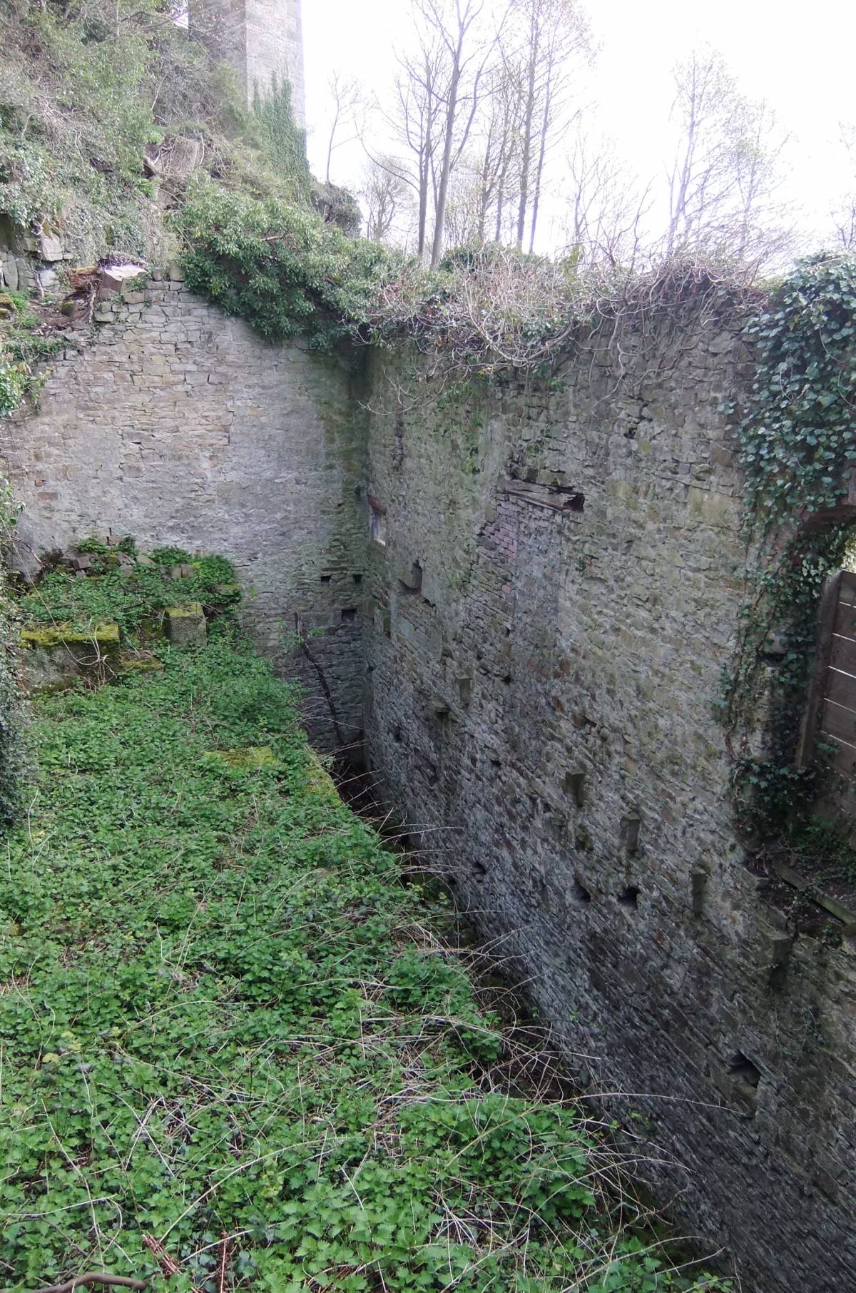
| Image 13 Description | Flue and Condenser House. | 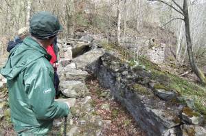 |
| Image 14 ID | 2676 |
| Image 14 Description | Condenser House. Detail of bearing slots | 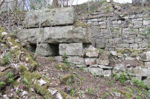 |
| Image 15 ID | 2677 |
| Image 15 Description | Condenser House, detail | 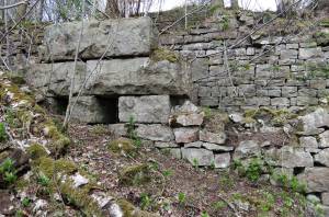 |
| Image 16 ID | 2678 |
| Image 16 Description | Condenser House, detail | 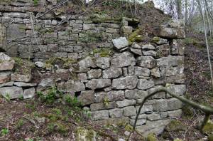 |
| Image 17 ID | 2679 |
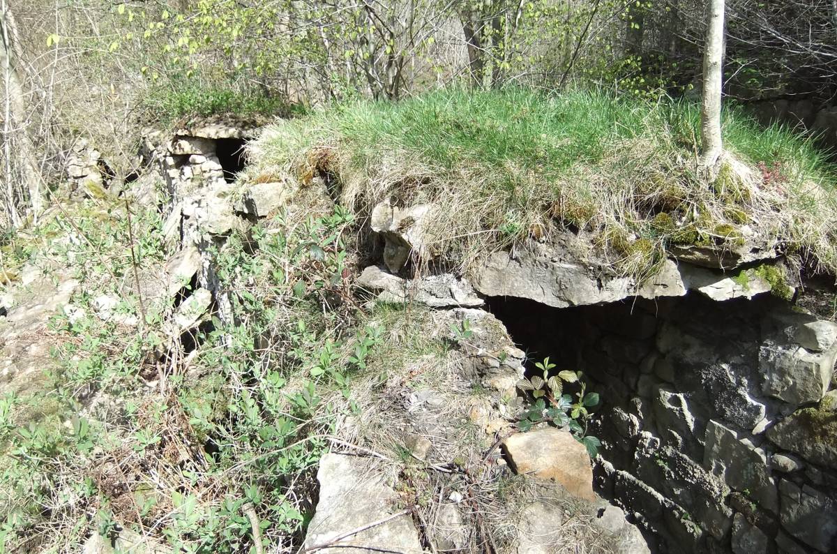
| Image 17 Description | Flue and turf cover | 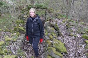 |
| Image 18 ID | 2680 |
| Image 18 Description | Flue and turf cover | 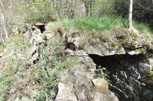 |
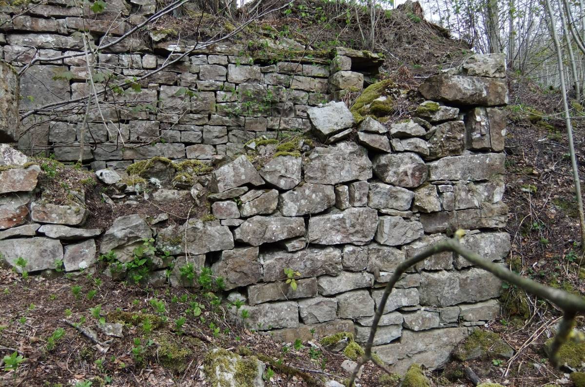
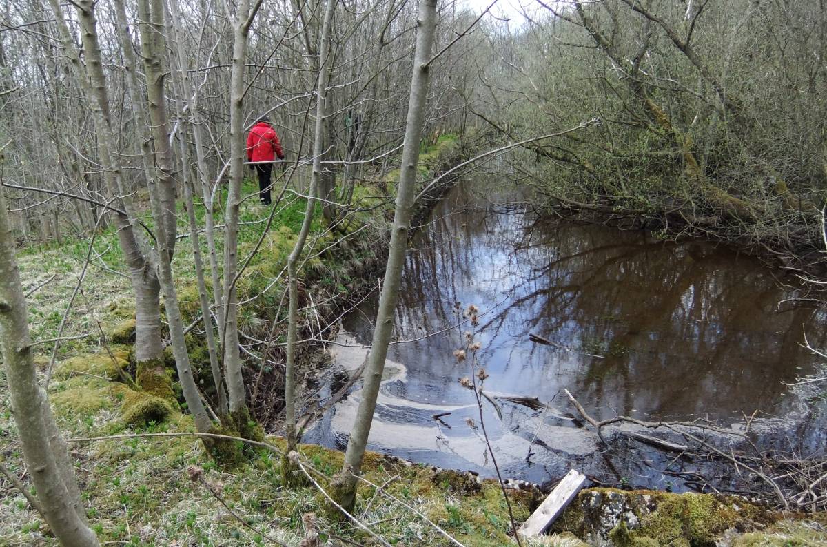
| Image 19 ID | 2681 |
| Image 19 Description | The dam |  |
| Image 20 ID | 2682 |
| Image 20 Description | The dam | 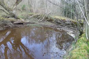 |
| Image 21 ID | 2683 |
| Image 21 Description | Flue arch stonework at surface and shaft mound, one of several aligned mounds on the Chaytor Rake Vein ,one of the Keld Heads group. |  |